The Book Depository
United Kingdom
2009
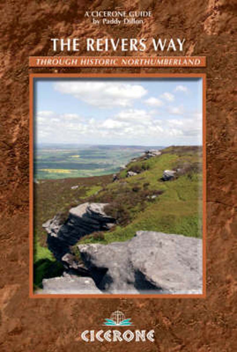
- The Reivers Way
- A guidebook to walking the Reivers Way. Follow in the footsteps of the border reivers on this 240km (150 mile) route running from Corbridge to Alnmouth. The reivers route wanders through wild and scenic parts of Northumberland, and can be walked in 9 days. The book also includes variants and alternative routes. Read more