De Zwerver
Netherlands
Netherlands
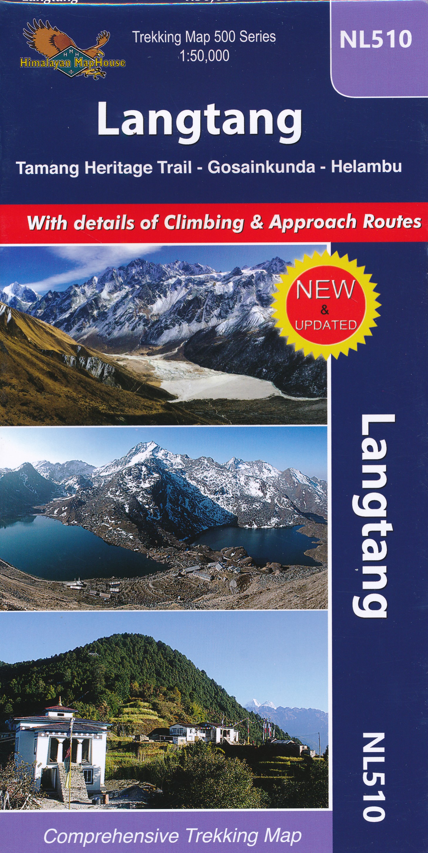
- Wandelkaart NL510 Langtang | Himalayan Maphouse
- Langtang - Tamang Heritage Trail - Gosainkunda – Helambu area at 1:50,000 on a double-sided, contoured and GPS compatible map from Nepa Maps/Himalayan Map House. Coverage extends from Kathmandu northwards beyond Dunche and Langtang to the peak and the Base Camp of Langtang Lirung. Contour interval is 40 metres, enhanced by relief shading and... Read more