De Zwerver
Netherlands
Netherlands
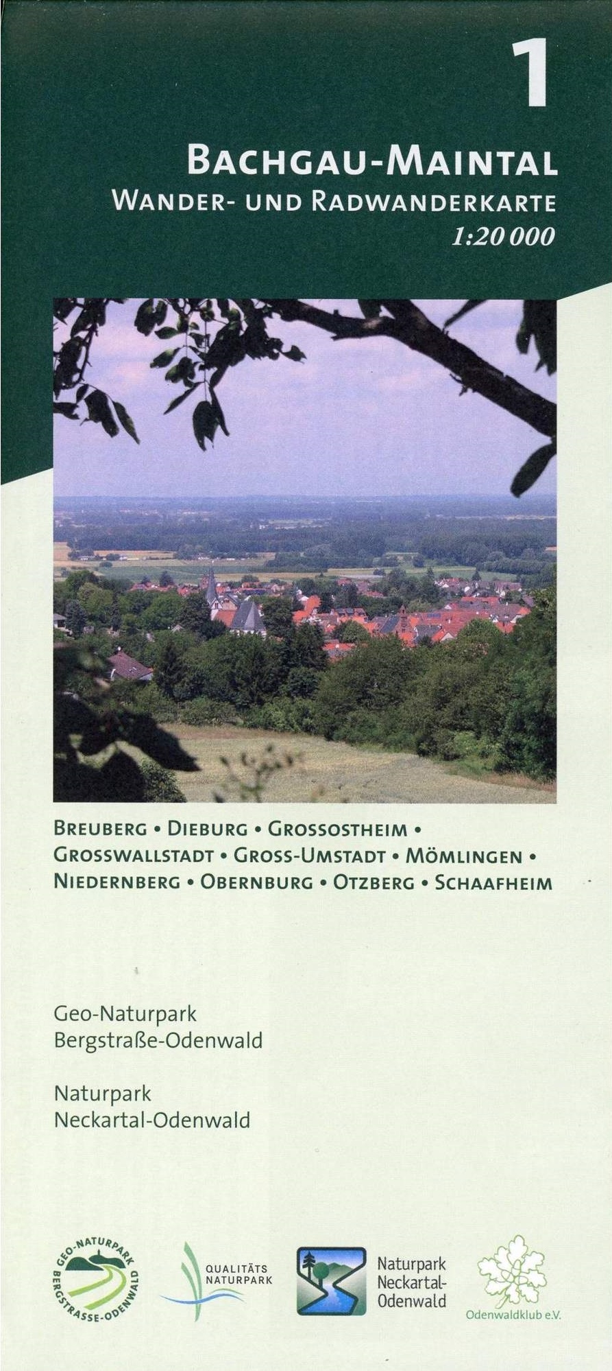
- Wandelkaart 01 Bachgau-Maintal - Odenwald | Geo-Naturpark Bergstraße-Odenwald
- Bachgau-Maintal 1:20.000 ab 8.9 EURO Wander- und Radwanderkarte. Mit Breuberg, Dieburg, Großostheim, Großwallstadt, Groß-Umstadt, Mömlingen, Niedernberg, Obernburg, Otzberg und Schaafheim Odenwald Freizeitkarte Naturpark Neckartal-Odenwald Geo-Naturpark Bergstraße-Odenwald. 1. Auflage Read more