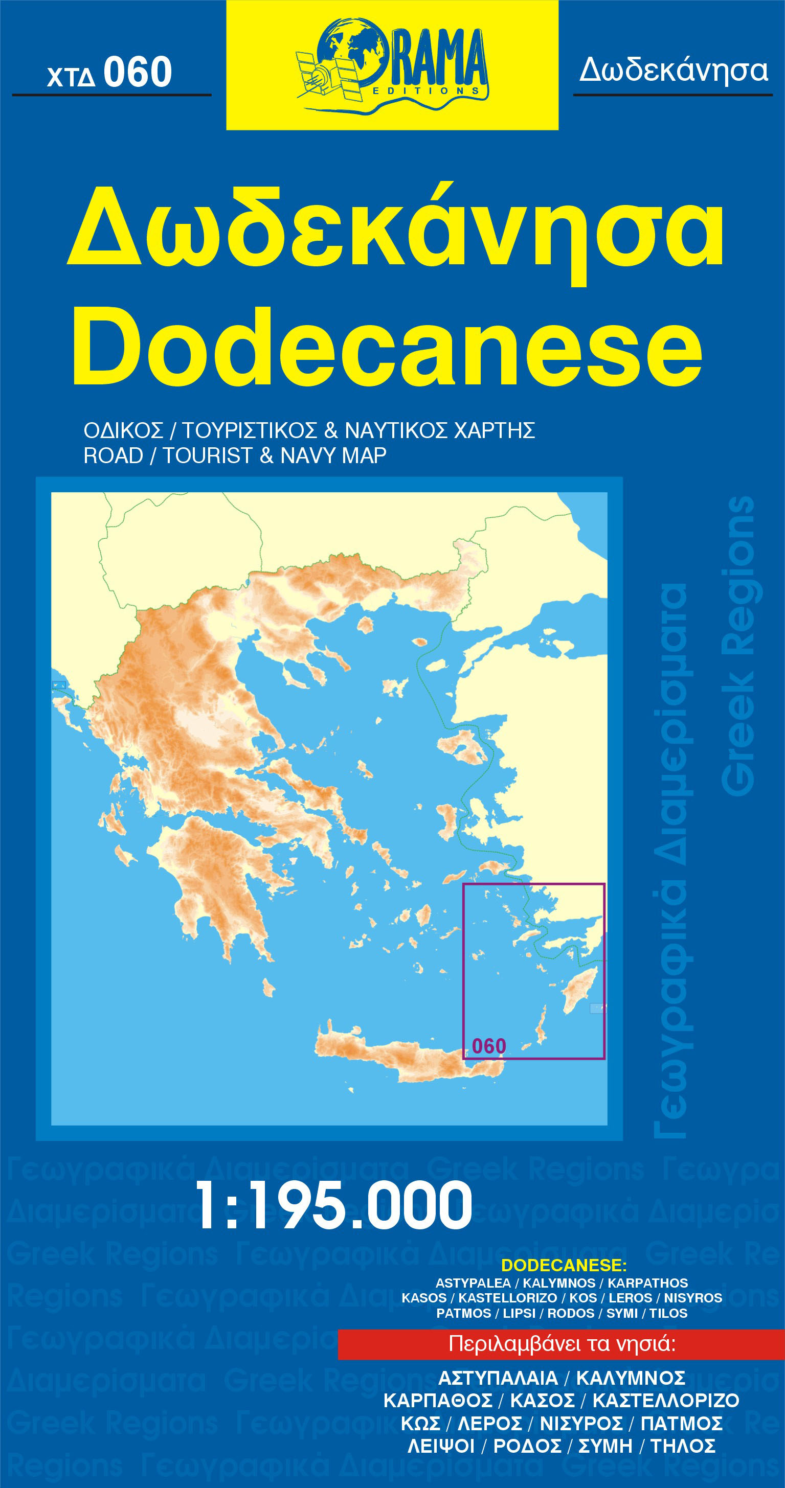
Gedetailleerde wandel- en wegenkaart met aanduiding van de wandelwegen, lijst van hotels en toeristische informatie. Voor alle doeleinden een zeer geschikte kaart. The complete road network, all villages, beaches, touristic sights and many more, clearly presented in a dependable and user-friendly mapRead more
Toeristische kaart voor wandelen, fietsen en vrije tijd met activiteitengids en stadsplattegronden • goed leesbare schaal van 1:50 000 • te gebruiken met GPS • met praktische informatie over de regio • wandel- en fietspaden • aanbevolen routes • kastelen • uitzichtpunten • stranden en baaien • toeristische informatie • veel topografische...Read more
Toeristische kaart voor wandelen, fietsen en vrije tijd met activiteitengids en stadsplattegronden • goed leesbare schaal van 1:50 000 • te gebruiken met GPS • met praktische informatie over de regio • wandel- en fietspaden • aanbevolen routes • kastelen • uitzichtpunten • stranden en baaien • toeristische informatie • veel topografische...Read more
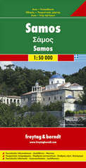
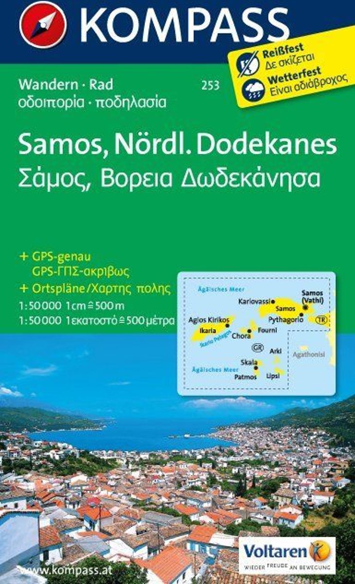
Samos at 1:50,000 with Icaria, Thimena, Fourni, Patmos, Leipsoi and Arkoi at 1:100,000, from Kompass, with and tourist overprint highlighting walking trails, places of interest and various facilities plus plans of the islands’ main towns and sites. The map is printed on sturdy, waterproof and tear-resistant synthetic paper.Topography of the...Read more
Imray’s series of charts of Greece and Turkey are comprehensive and easy-to-use sailing charts published on rip-proof, waterproof paper- ideal for use on small tables or in cockpits. They show detailed coastline and depth information, and are constantly corrected to reflect latest information. Designed primarily for yachtsmen, they are...Read more
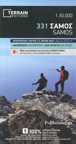
Samos at 1:50,000 on a contoured, GPS compatible hiking map published by Terrain Cartography group together with Skai Maps, and printed on light, waterproof and tear-resistant Polyart plastic paper, with extensive tourist information.Topography is very well presented by contours, enhanced by spot heights, subtle relief shading and additional...Read more
Samos at 1:50,000 on a contoured, GPS compatible hiking map published by Terrain Cartography group together with Skai Maps, and printed on light, waterproof and tear-resistant Polyart plastic paper, with extensive tourist information.Topography is very well presented by contours, enhanced by spot heights, subtle relief shading and additional...Read more
Samos at 1:50,000 on a contoured, GPS compatible hiking map published by Terrain Cartography group together with Skai Maps, and printed on light, waterproof and tear-resistant Polyart plastic paper, with extensive tourist information.Topography is very well presented by contours, enhanced by spot heights, subtle relief shading and additional...Read more
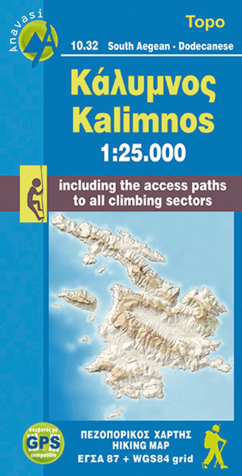
The Dodecanese island of Kalymnos / Kalimnos on a waterproof and tear-resistant, contoured and GPS compatible map at 1:25,000 from Anavasi, highlighting hiking trails and the islands numerous rock climbing and bouldering sites.Landscape is shown by contours at 20m with altitude colouring, hill shading and spot heights. The map indicates dirt...Read more
The Dodecanese island of Kalymnos / Kalimnos on a waterproof and tear-resistant, contoured and GPS compatible map at 1:25,000 from Anavasi, highlighting hiking trails and the islands numerous rock climbing and bouldering sites.Landscape is shown by contours at 20m with altitude colouring, hill shading and spot heights. The map indicates dirt...Read more
The Dodecanese island of Kalymnos / Kalimnos on a waterproof and tear-resistant, contoured and GPS compatible map at 1:25,000 from Anavasi, highlighting hiking trails and the islands numerous rock climbing and bouldering sites.Landscape is shown by contours at 20m with altitude colouring, hill shading and spot heights. The map indicates dirt...Read more