De Zwerver
Netherlands
Netherlands
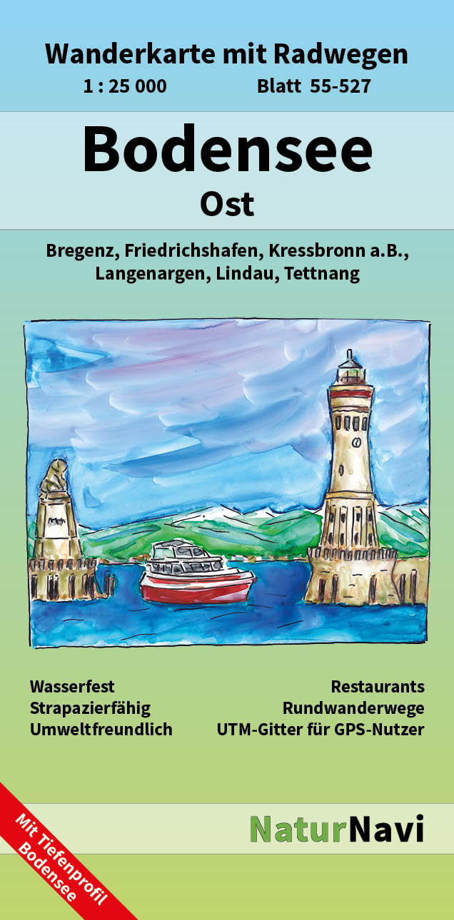
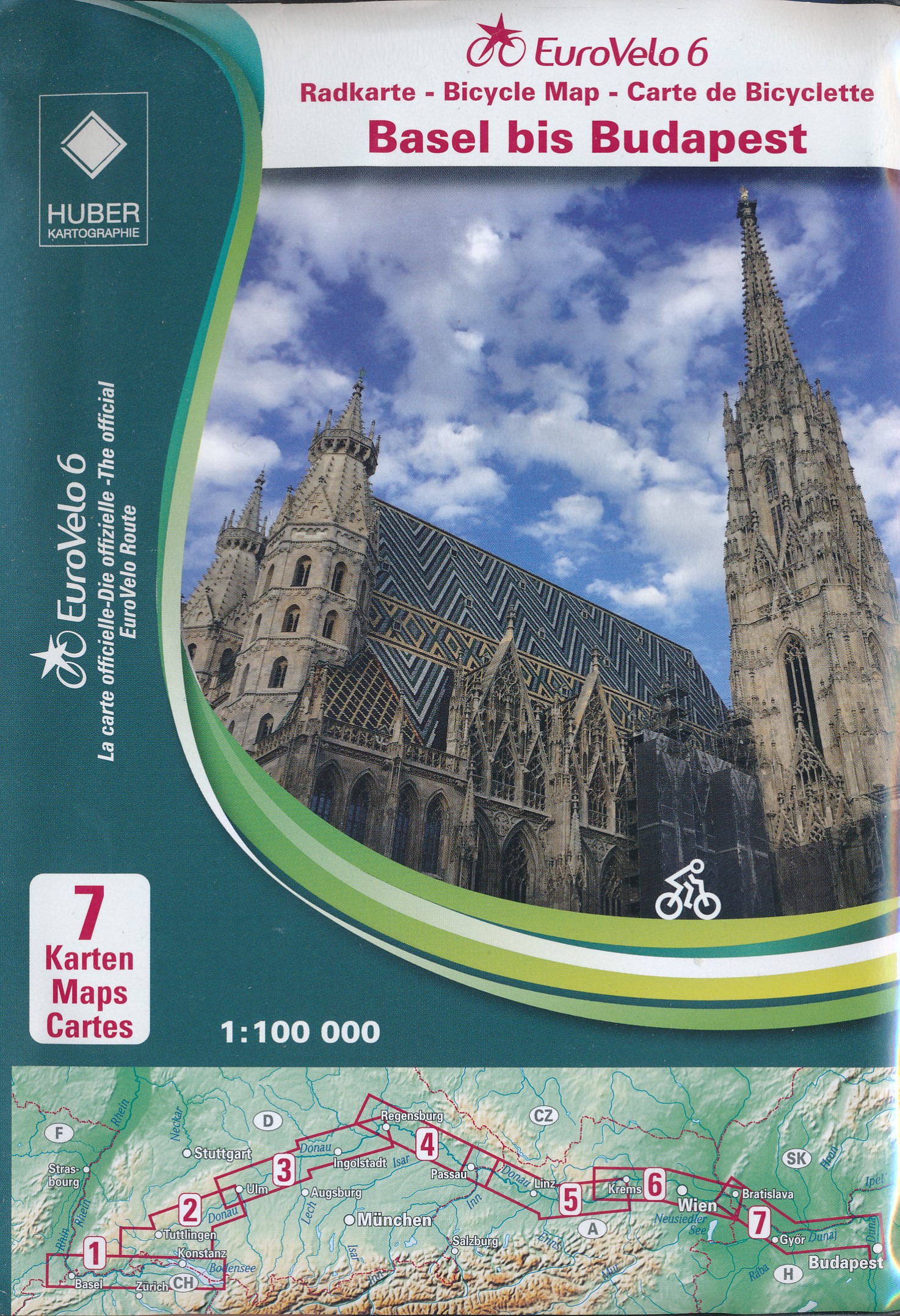
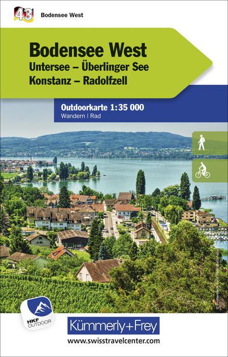
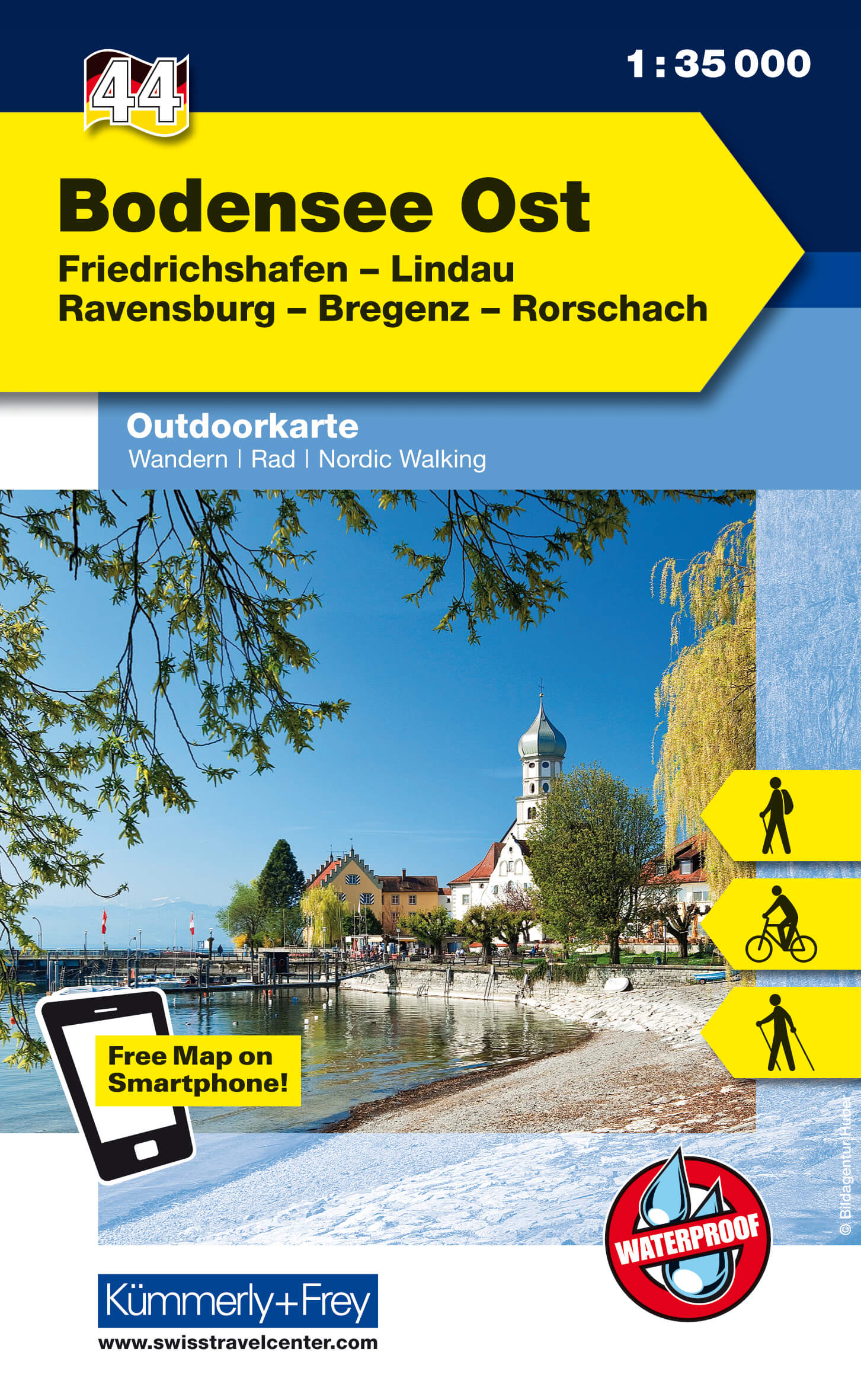
- Wandelkaart 44 Outdoorkarte Bodensee Ost | Kümmerly & Frey
- The eastern part of Lake Constance (Bodensee) at 1:35,000 from Kümmerly+Frey in a series GPS compatible, double-sided maps printed on durable, waterproof and tear-resistant plastic paper; contoured, with hiking and cycle routes, other recreational activities, etc. Maps in this series are at a scale of either 1:50,000 or 1:35,000. Contour... Read more