De Zwerver
Netherlands
Netherlands
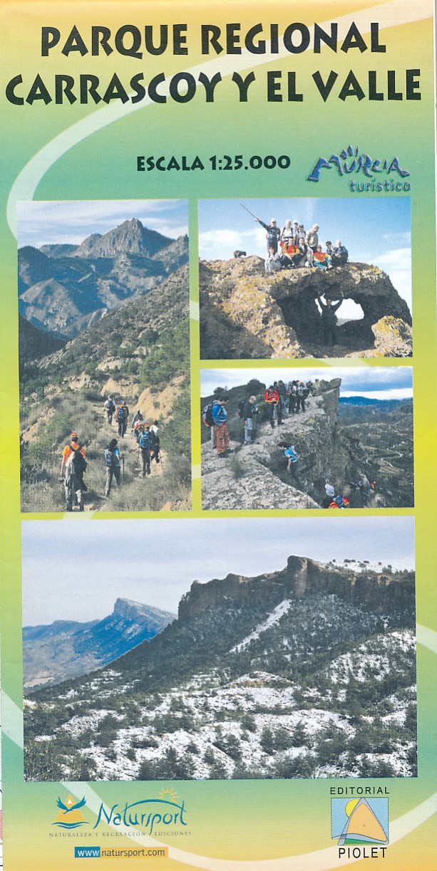
- Wandelkaart Parque Regional Carrascoy y el Valle | Editorial Piolet
- Uitstekende wandelkaart van een klein gebied. Met ingetekende wandelroutes en hoogtelijnen. Excellent 1:20.000 scale map of the area of Regional Park Carrascoy y el Valle in Murcia. Includes local signaling pathways, GR, PR, Nordik Walking tour and most characteristic areas of diving. Equidistance between contours 10 m. Read more