De Zwerver
Netherlands
Netherlands
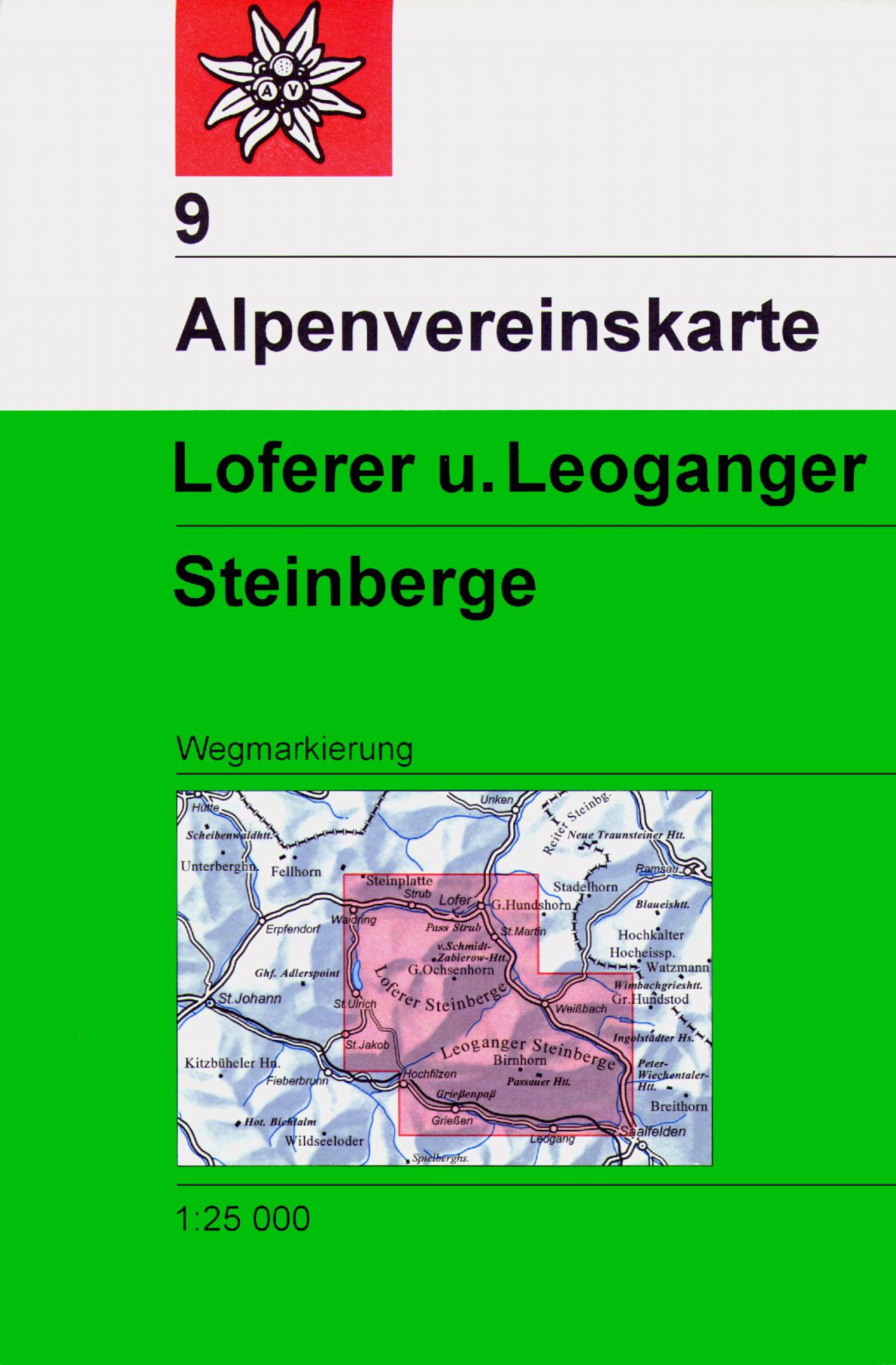
- Wandelkaart 09 Alpenvereinskarte Loferer und Leoganger Steinberge | Alpenverein
- Loferer and Leoganger Steinberge area of the Alps in a hiking edition at 1:25,000 from a series of detailed, GPS compatible maps published by the DAV - Deutscher Alpenverein and produced by the German and Austrian Alpine Clubs using cartography from their respective survey organizations. Maps in this series have topography vividly presented by... Read more
- Also available from:
- Stanfords, United Kingdom

Stanfords
United Kingdom
United Kingdom
- Loferer and Leoganger Steinberge Alpenverein Map 9
- Loferer and Leoganger Steinberge area of the Alps in a hiking edition at 1:25,000 from a series of detailed, GPS compatible maps published by the DAV - Deutscher Alpenverein and produced by the German and Austrian Alpine Clubs using cartography from their respective survey organizations. Maps in this series have topography vividly presented by... Read more