De Zwerver
Netherlands
2019
Netherlands
2019
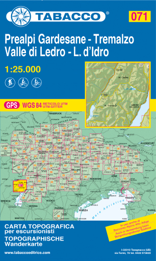
- Wandelkaart 071 Prealpi Gardesane - Tremalzo - Valle di Ledro - L. d'Idro | Tabacco Editrice
- Valle del Sacra – Arco – Riva del Garda area in a series of Tabacco maps at 1:25,000 covering the Dolomites and the mountains of north-eastern Italy - Stanfords’ most popular coverage for this region, with excellent cartography and extensive overprint for hiking routes and other recreational activities, local bus stops, etc. Additional... Read more
- Also available from:
- Stanfords, United Kingdom

Stanfords
United Kingdom
2019
United Kingdom
2019
- Prealpi Gardesane - Tremalzo - Valle di Ledro - L. d`Idro Tabacco 071
- Valle del Sacra – Arco – Riva del Garda area in a series of Tabacco maps at 1:25,000 covering the Dolomites and the mountains of north-eastern Italy - Stanfords’ most popular coverage for this region, with excellent cartography and extensive overprint for hiking routes and other recreational activities, local bus stops, etc. Additional... Read more