De Zwerver
Netherlands

Stanfords
United Kingdom
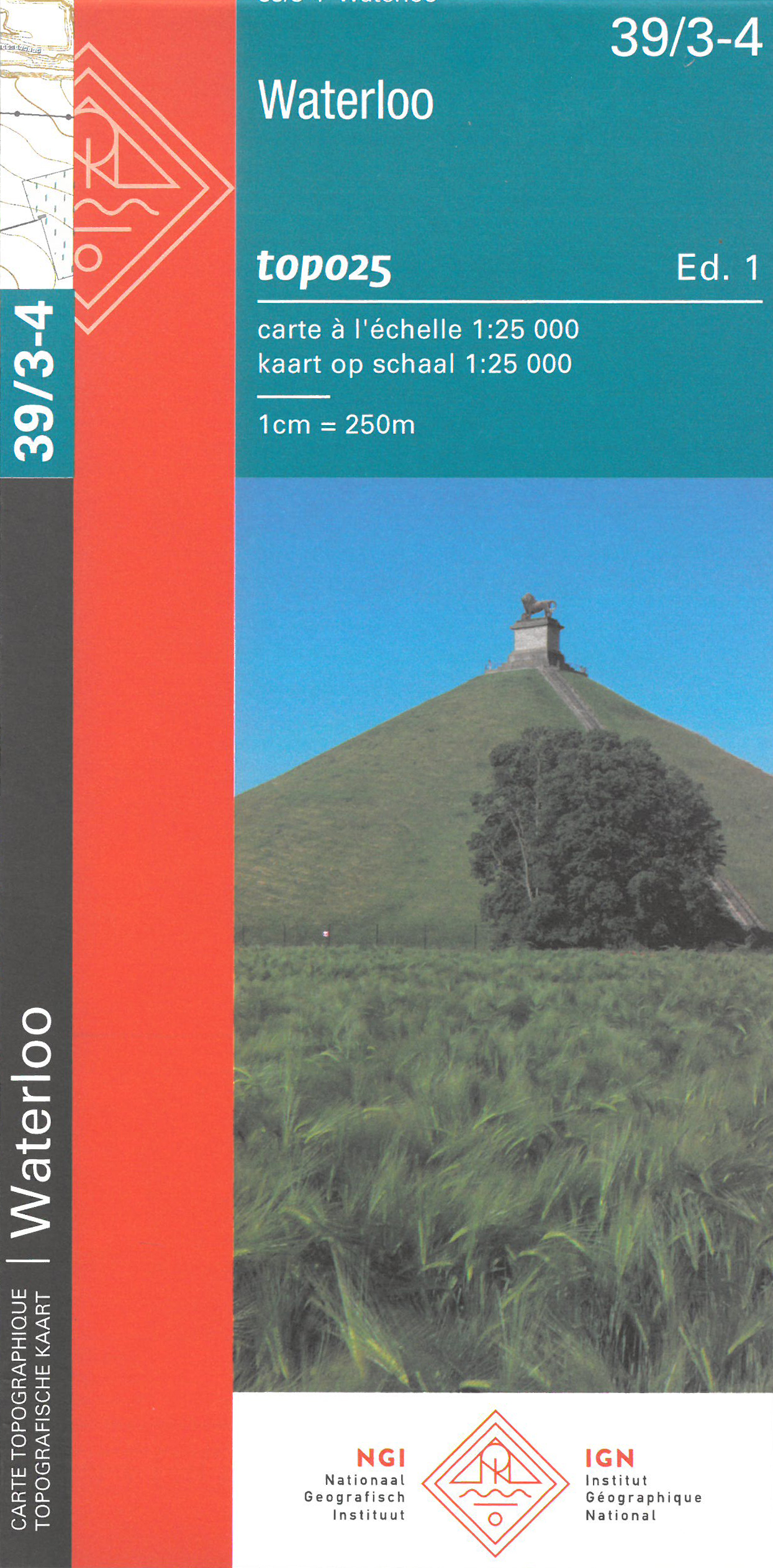
- Waterloo NGI Topo 39/3-4 - Battle of Waterloo Area
- Waterloo - Lanse, map No. 39/3-4 in the topographic survey of Belgium at 1:20,000 covering the main area of the Battle of Waterloo on 18th June 1815 including the Mont St-Jean escarpment, the Lion’s Mound (Lion’s Hillock) and the museum. Although not specifically designed to highlight locations connected with the Battle of Waterloo, the map... Read more
De Zwerver
Netherlands
Stanfords
United Kingdom
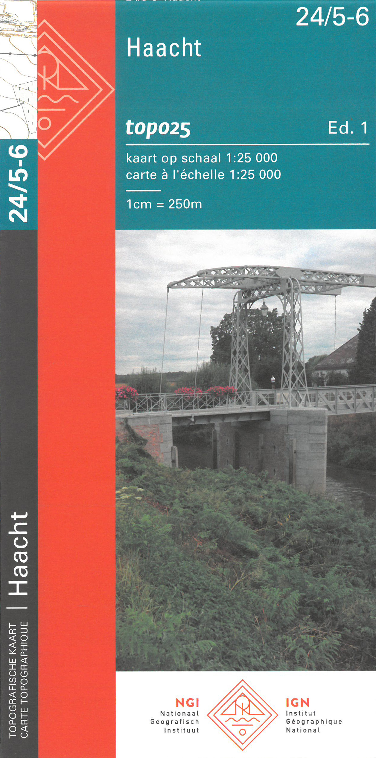
- Haacht NGI Topo 24/5-6
- Topographical survey of Belgium at 1:20,000 from Nationaal Geografisch Instituut / Institut Géographique National, the country’s national survey organization. Each 20K map covers one quarter of the corresponding 1:50,000 map (with adjustments in the border and coastal areas). The maps provide all the information expected of topographic mapping... Read more
De Zwerver
Netherlands

Stanfords
United Kingdom
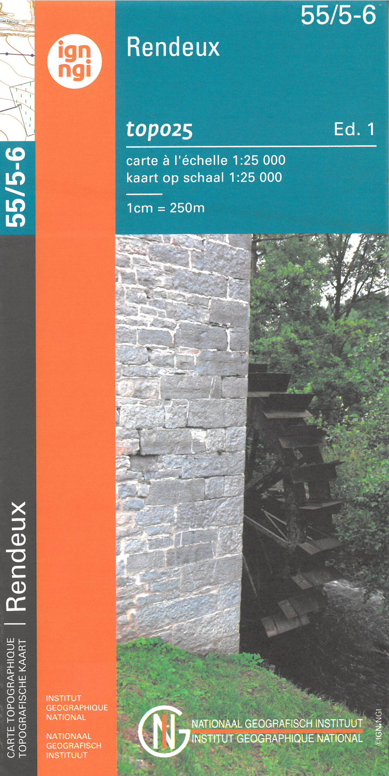
- Rendeux NGI Topo 55/5-6
- Topographical survey of Belgium at 1:20,000 from Nationaal Geografisch Instituut / Institut Géographique National, the country’s national survey organization. Each 20K map covers one quarter of the corresponding 1:50,000 map (with adjustments in the border and coastal areas). The maps provide all the information expected of topographic mapping... Read more
De Zwerver
Netherlands

Stanfords
United Kingdom
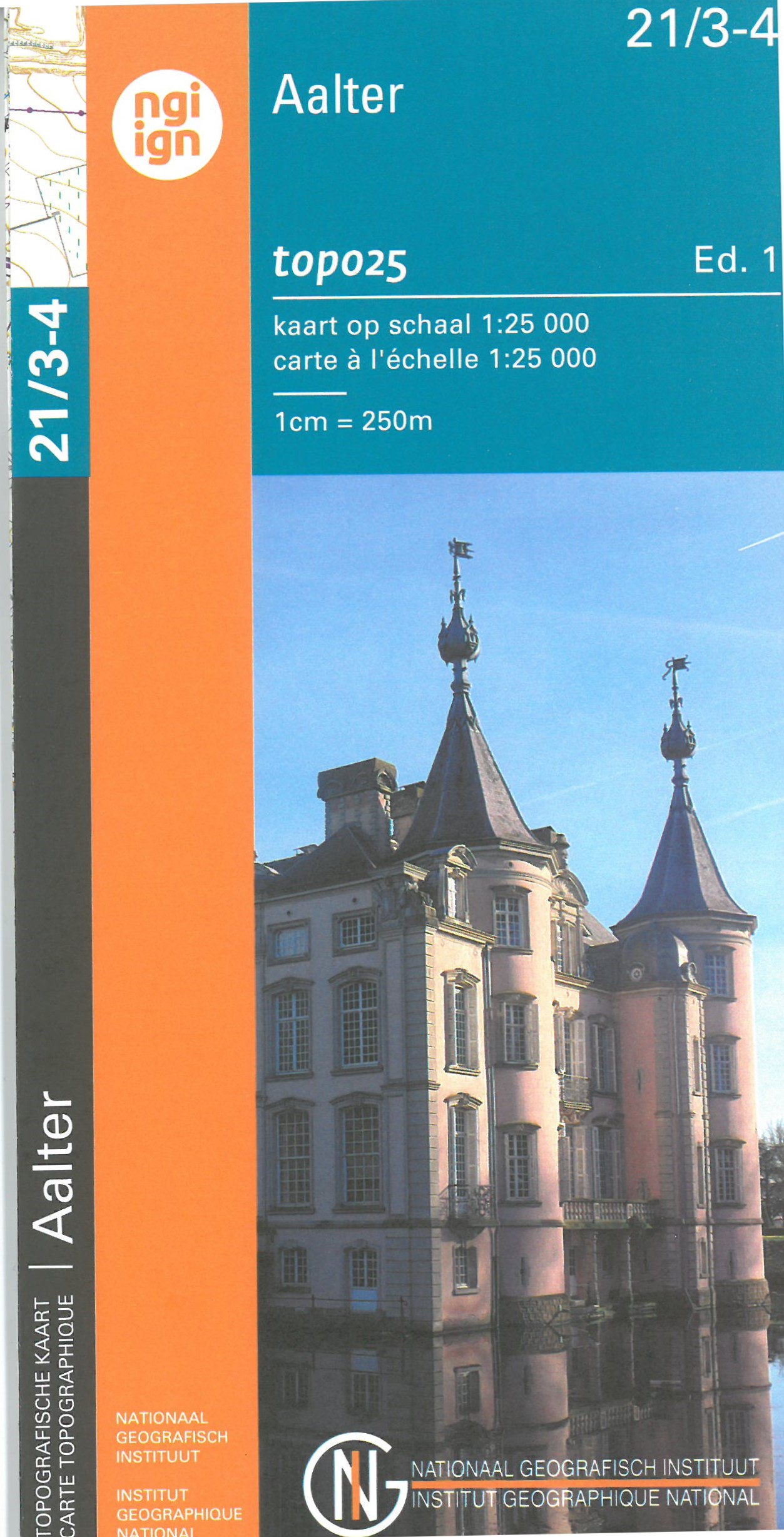
- Aalter - Nevele NGI Topo 21/3-4
- Topographical survey of Belgium at 1:20,000 from Nationaal Geografisch Instituut / Institut Géographique National, the country’s national survey organization. Each 20K map covers one quarter of the corresponding 1:50,000 map (with adjustments in the border and coastal areas). The maps provide all the information expected of topographic mapping... Read more

De Zwerver
Netherlands
Stanfords
United Kingdom
- Maarle NGI Topo 03/5-6
- Topographical survey of Belgium at 1:20,000 from Nationaal Geografisch Instituut / Institut Géographique National, the country’s national survey organization. Each 20K map covers one quarter of the corresponding 1:50,000 map (with adjustments in the border and coastal areas). The maps provide all the information expected of topographic mapping... Read more
De Zwerver
Netherlands

Stanfords
United Kingdom
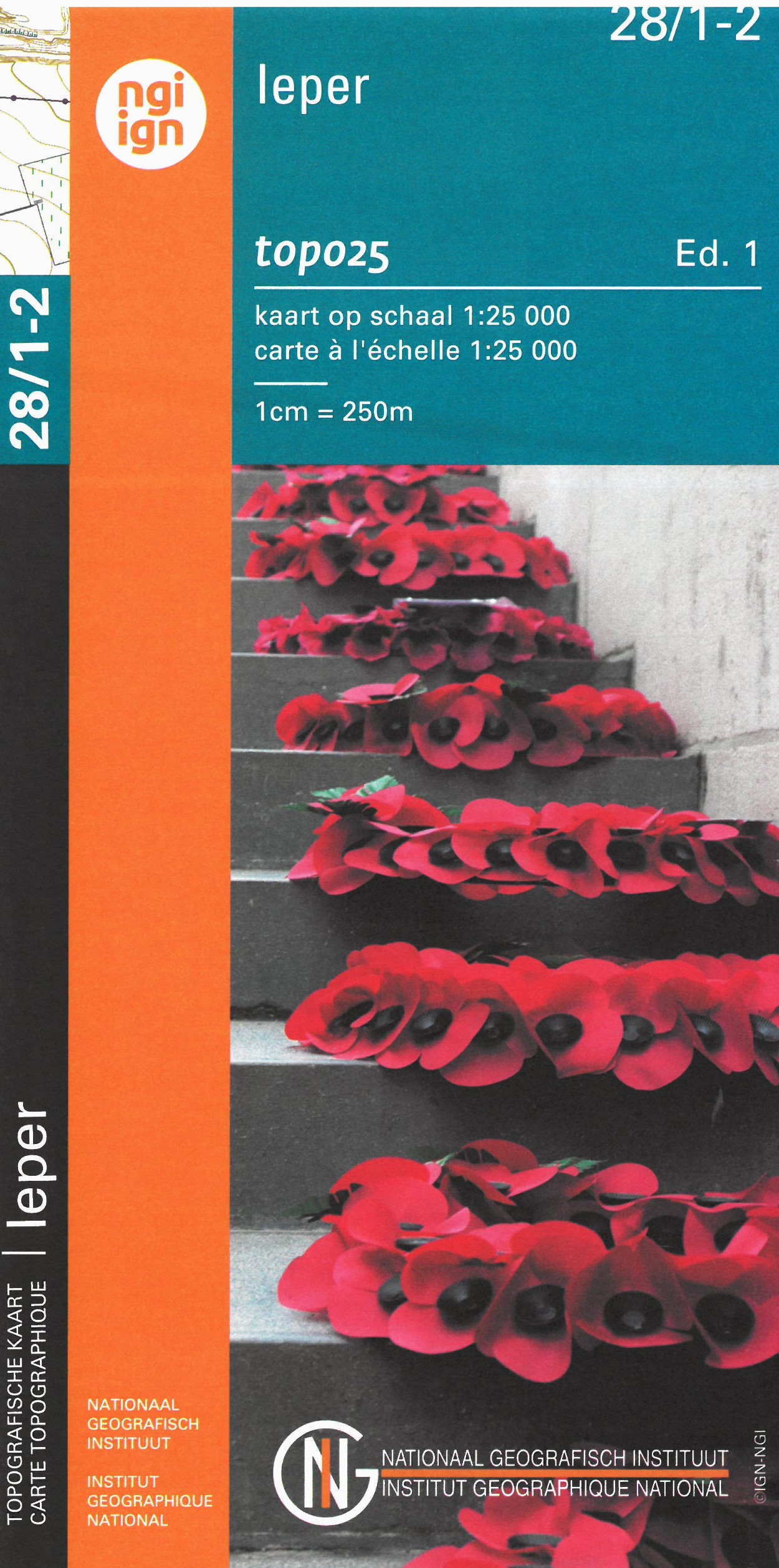
- Ieper NGI Topo 28/1-2 - WWI Ypres Salient Battlefields
- Poperinge - Ieper, map No. 28/1-2 in the topographic survey of Belgium at 1:20,000 covering the central part of the Ypres Salient battlefields of World War I. Coverage extends west to the Hooge Crater Cemetery, north to Boezinge, and south to Voormezele, and includes Zillebeke and St-Juliaan. Although not specifically designed to highlight... Read more
De Zwerver
Netherlands
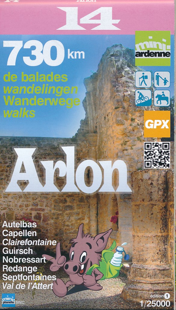
- Wandelkaart 14 Arlon | Mini-Ardenne
- Wandelkaart van Autelbas, Capellen, Clairefontaine, Guirsch, Nobressart, Septfontaines en Val de l' Attert Handige overzichtelijke wandelkaart op een schaal van 1:25.000 van een deel van de Ardennen. In deze kaartenserie hebben de makers gekozen voor een belangrijke toeristische plaats als basis van de kaart. Naast een groot aantal ingetekende... Read more

Stanfords
United Kingdom
- Arlon Mini-Ardenne
- Ardennes Recreational Maps at a scale of 1:25,000 enable you to discover the Ardennes from junction to junction, each associated with a locality, through a network of hiking, cycling or riding paths. The network of mini walks consists of suggested routes with kilometre distance marked showing field boundaries and urbanised built up areas.... Read more
De Zwerver
Netherlands
Stanfords
United Kingdom
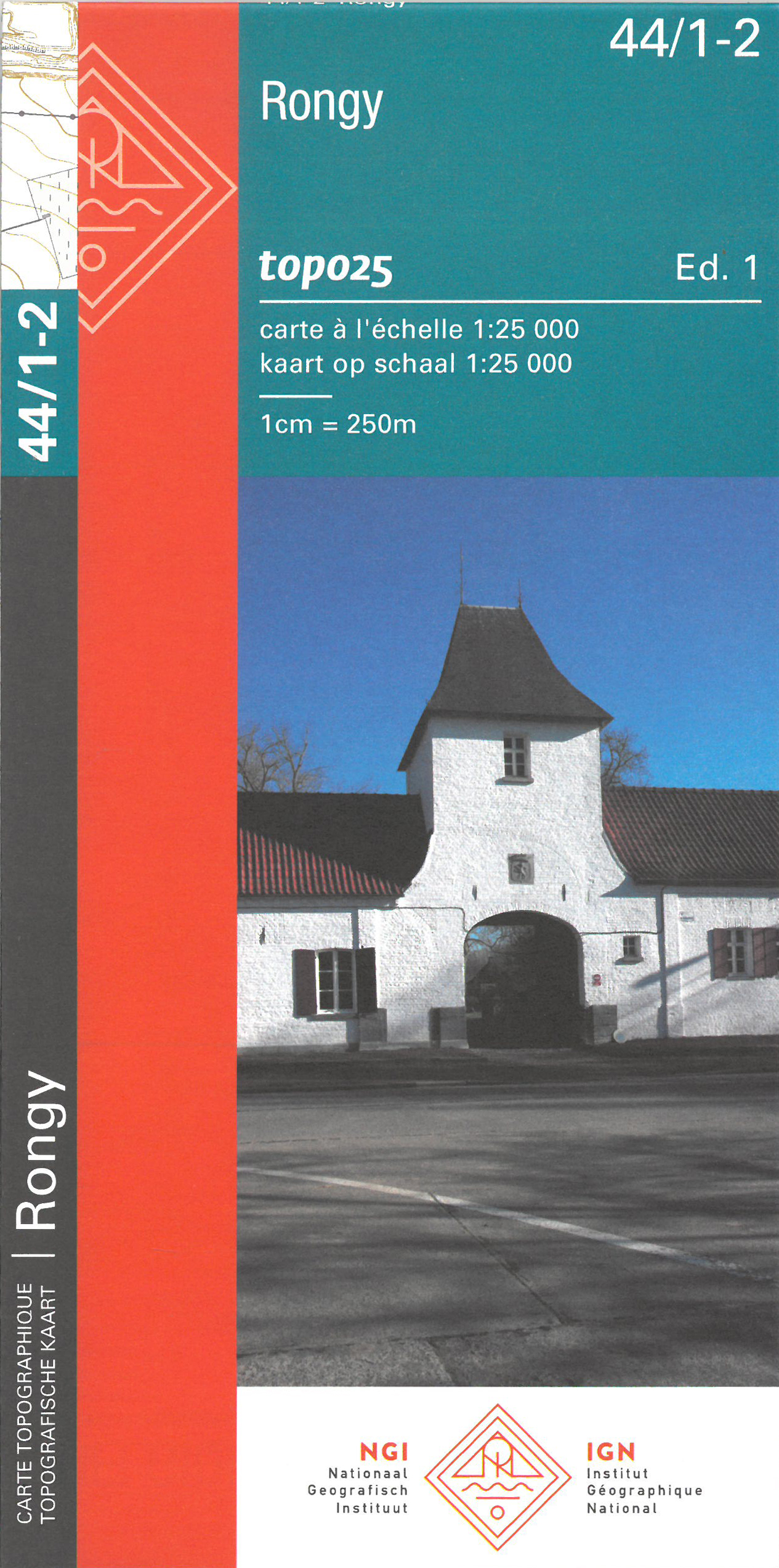
- Rongy NGI Topo 44/1-2
- Topographical survey of Belgium at 1:20,000 from Nationaal Geografisch Instituut / Institut Géographique National, the country’s national survey organization. Each 20K map covers one quarter of the corresponding 1:50,000 map (with adjustments in the border and coastal areas). The maps provide all the information expected of topographic mapping... Read more
De Zwerver
Netherlands

Stanfords
United Kingdom
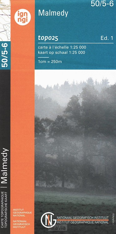
- Malmedy NGI Topo 50/5-6
- Topographical survey of Belgium at 1:20,000 from Nationaal Geografisch Instituut / Institut Géographique National, the country’s national survey organization. Each 20K map covers one quarter of the corresponding 1:50,000 map (with adjustments in the border and coastal areas). The maps provide all the information expected of topographic mapping... Read more
De Zwerver
Netherlands
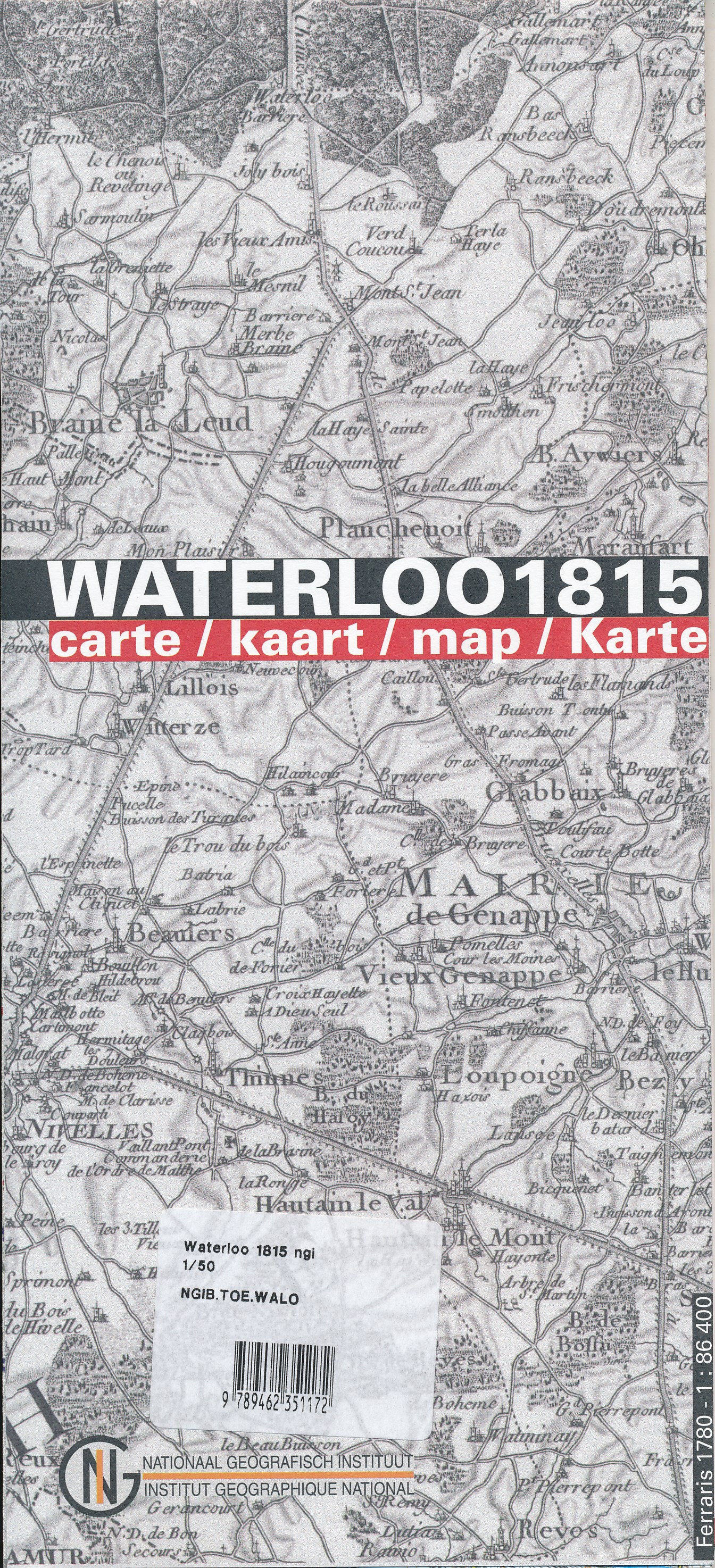
- Historische Kaart Waterloo 1815 | NGI - Nationaal Geografisch Instituut
- Commemorative map from the Belgian national survey organization, NGI, published to mark the bicentenary of the battle of Waterloo in 1815, with present day mapping and reproductions of contemporary maps overprinted to indicate the movements of the French, British and Prussian forces.On one side is a current contoured topographic survey map at... Read more
De Zwerver
Netherlands
Stanfords
United Kingdom
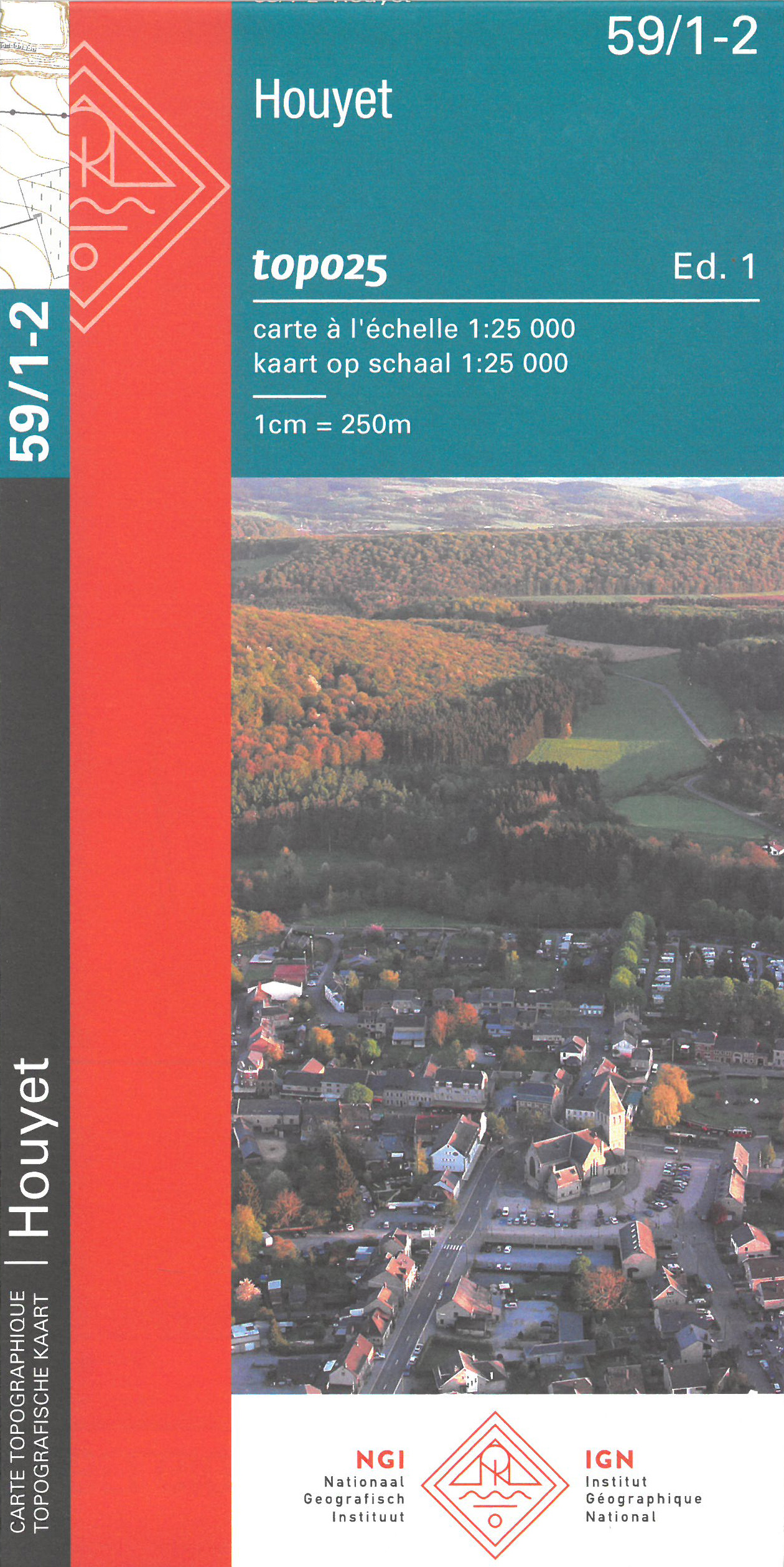
- Houyet NGI Topo 59/1-2
- Topographical survey of Belgium at 1:20,000 from Nationaal Geografisch Instituut / Institut Géographique National, the country’s national survey organization. Each 20K map covers one quarter of the corresponding 1:50,000 map (with adjustments in the border and coastal areas). The maps provide all the information expected of topographic mapping... Read more
De Zwerver
Netherlands

Stanfords
United Kingdom
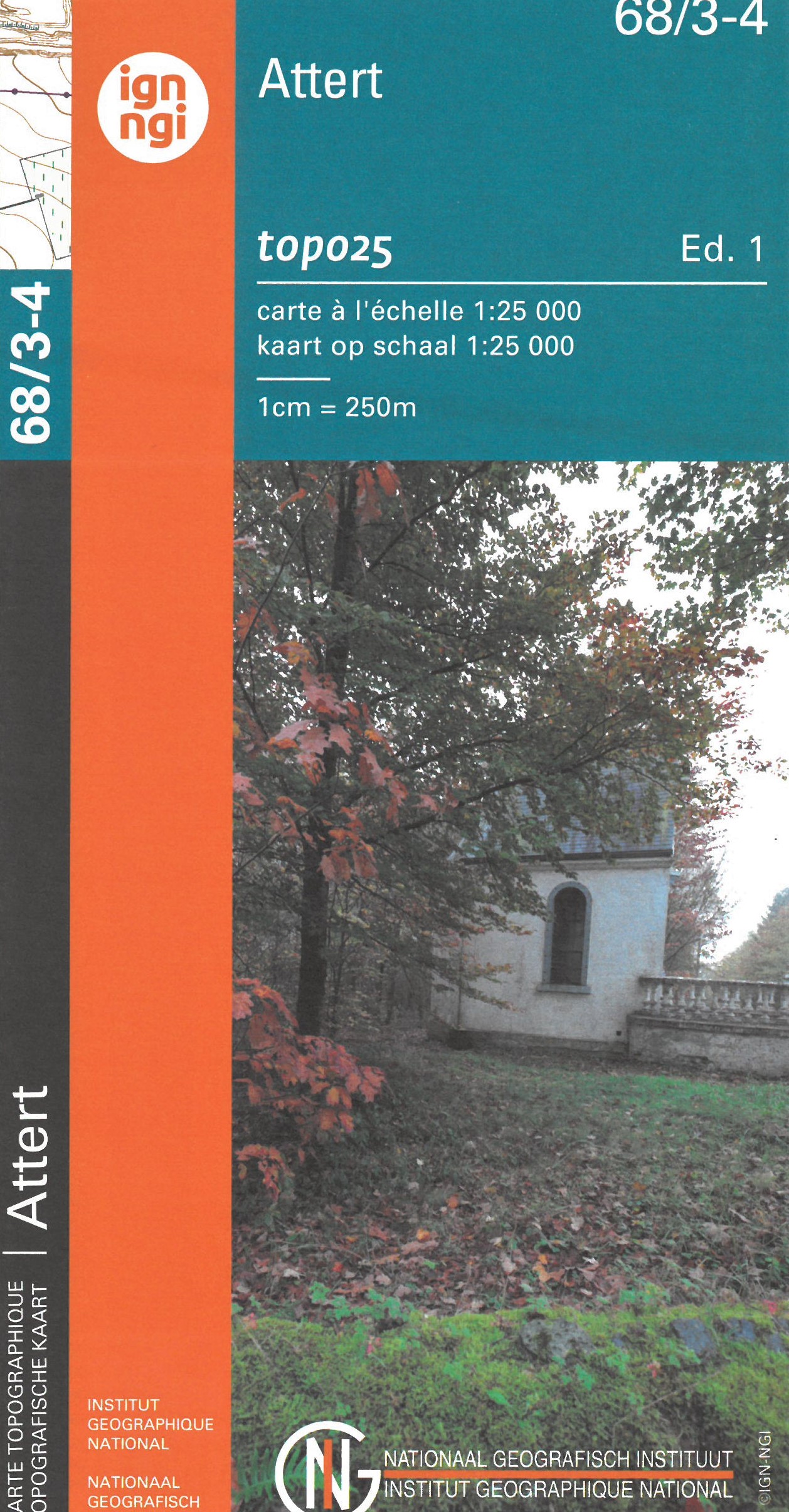
- Attert NGI Topo 68/3-4
- Topographical survey of Belgium at 1:20,000 from Nationaal Geografisch Instituut / Institut Géographique National, the country’s national survey organization. Each 20K map covers one quarter of the corresponding 1:50,000 map (with adjustments in the border and coastal areas). The maps provide all the information expected of topographic mapping... Read more
De Zwerver
Netherlands

Stanfords
United Kingdom
- Hechtel-Eksel NGI Topo 17/7-8
- Topographical survey of Belgium at 1:20,000 from Nationaal Geografisch Instituut / Institut Géographique National, the country’s national survey organization. Each 20K map covers one quarter of the corresponding 1:50,000 map (with adjustments in the border and coastal areas). The maps provide all the information expected of topographic mapping... Read more
De Zwerver
Netherlands
Stanfords
United Kingdom
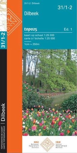
- Dilbeek NGI Topo 31/1-2
- Topographical survey of Belgium at 1:20,000 from Nationaal Geografisch Instituut / Institut Géographique National, the country’s national survey organization. Each 20K map covers one quarter of the corresponding 1:50,000 map (with adjustments in the border and coastal areas). The maps provide all the information expected of topographic mapping... Read more
De Zwerver
Netherlands
Stanfords
United Kingdom
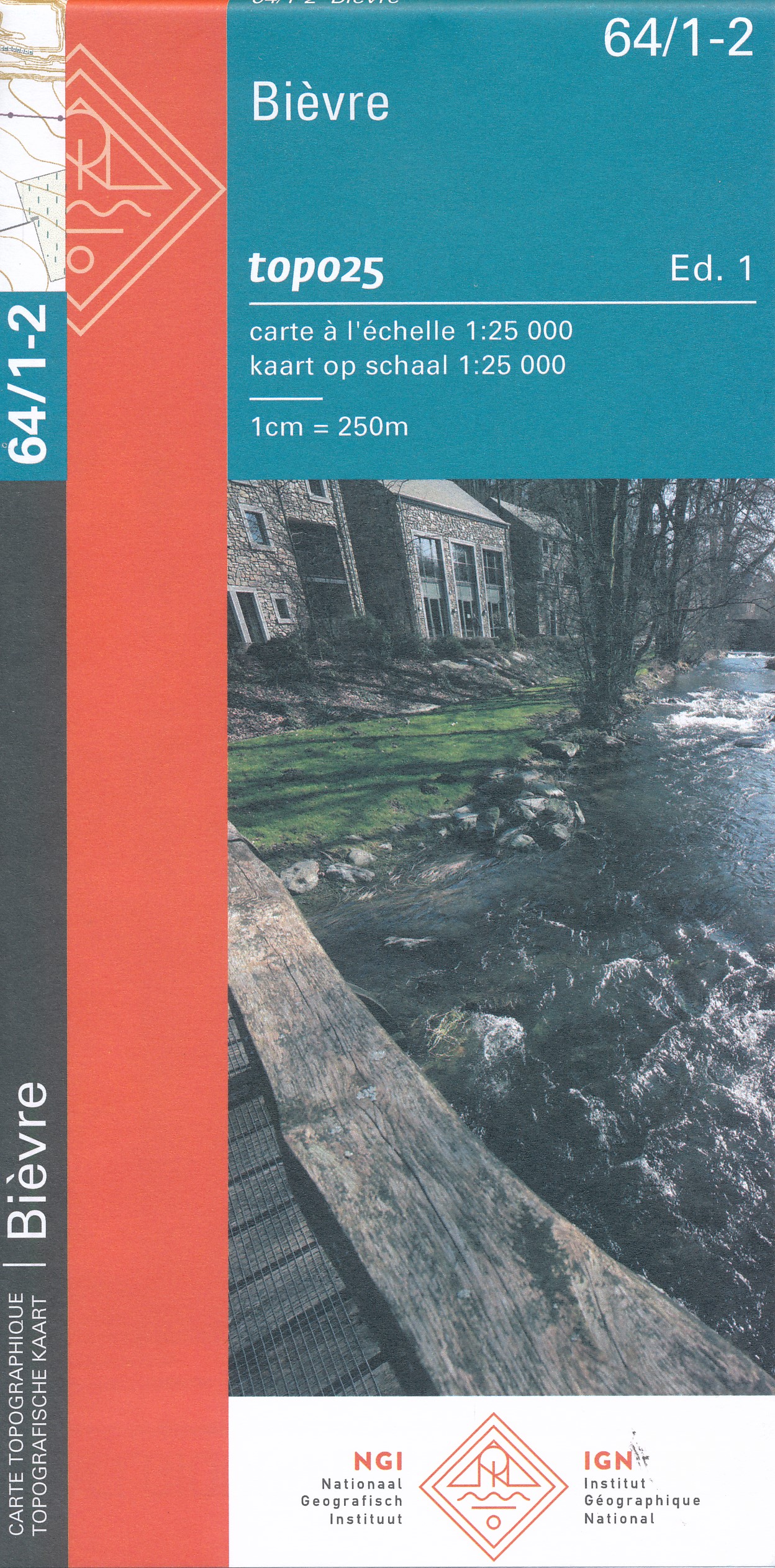
- Bievre NGI Topo 64/1-2
- Topographical survey of Belgium at 1:20,000 from Nationaal Geografisch Instituut / Institut Géographique National, the country’s national survey organization. Each 20K map covers one quarter of the corresponding 1:50,000 map (with adjustments in the border and coastal areas). The maps provide all the information expected of topographic mapping... Read more