De Zwerver
Netherlands
Netherlands
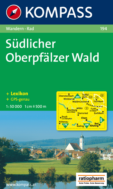
- Wandelkaart 194 Südlicher Oberpfälzer Wald | Kompass
- Goede wandelkaart met vrijwel alle topografische details en ingetekende routes. Ook met symbolen voor toeristische bezienswaardigheden, register. Berghutten duidelijk weergegeven. Gevaarlijke wandelroutes zijn goed herkenbaar. Inclusief een Duitstalig boekje met informatie en routesuggesties. Read more