De Zwerver
Netherlands
Netherlands
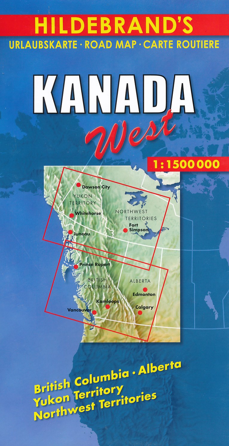
- Wegenkaart - landkaart Canada west | Hildebrand's
- Kanada West 1 : 1 500 000. Hildebrand´s Urlaubskarte ab 7.95 EURO British Columbia, Alberta, Yukon Territoy, Northwest Territories Hildebrand´s Urlaubskarte. 14. Auflage Read more