De Zwerver
Netherlands
2019
» Click to open
Stanfords
United Kingdom
2019
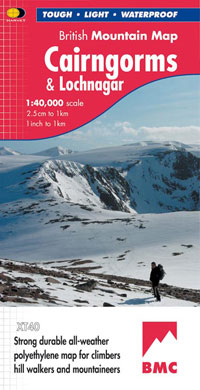
  • Cairngorms & Lochnagar Harvey British Mountain Map XT40
  • Waterproof mountain map of the Caingorms & Lochnagar from Harvey at 1:40,000, with a geological map of the region on the reverse, and advice on navigating the region safely.*MAIN MAP:* Topography is shown through clear altitude shading, spot heights, contours at 15m intervals, and index contours at 75m intervals. A variety of symbols are used... Read more
» Click to close
De Zwerver
Netherlands
2022
De Zwerver
Netherlands
2022
» Click to open
Stanfords
United Kingdom
2022
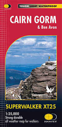
  • Cairn Gorm & Ben Avon Harvey Superwalker XT25
  • Cairn Gorm and Ben Avon area in the heart of the Scottish Highlands at 1:25,000 on a waterproof and tear-resistant map from Harvey Map Services in their Superwalker series. The peak of Cairn Gorm is on the eastern side of the map, with coverage extending north to Glanmore and the outskirts of Aviemore, west to Achlean and River Feshie and south... Read more
» Click to close
Stanfords
United Kingdom
De Zwerver
Netherlands
» Click to open
Stanfords
United Kingdom
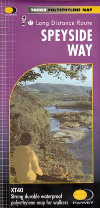
  • Speyside Way Harvey National Trail XT40
  • Speyside Way, a 123km / 77 miles trail between Buckie on the Moray coast and Aviemore in the Cairngorms National Park or alternatively to Tomintoul, presented at 1:40,000 on a light, waterproof and tear-resistant map from Harvey Map Services. The whole route is covered on five overlapping panels, with small street plans of Buckie, Charlestown... Read more
The Book Depository
United Kingdom
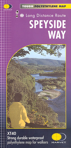
  • Speyside Way
  • Speyside Way, a 123km / 77 miles trail between Buckie on the Moray coast and Aviemore in the Cairngorms National Park or alternatively to Tomintoul, presented at 1:40,000 on a light, waterproof and tear-resistant map from Harvey Map Services. The whole route is covered on five overlapping panels, with small street plans of Buckie, Charlestown... Read more
» Click to close
De Zwerver
Netherlands
» Click to open
Stanfords
United Kingdom
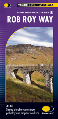
  • Rob Roy Way Harvey National Trail XT40
  • Rob Roy Way, one of Scotland’s Great Trails from Drymen just north of Glasgow along Loch Tay to Pitlochry on the edge of the Cairngorms National Park presented at 1:40,000 on a light, waterproof and tear-resistant map from Harvey Map Services. The whole route, either 124km/77 miles or 151km/94 miles long depending on which variant one follows,... Read more
The Book Depository
United Kingdom
  • Rob Roy Way
  • Mooie, duidelijke kaart van de Rob Roy Way in Schotland. Geplastificeerd met veel extra informatie en uitsnedes van de route. One of Scotland's Great Trails Rob Roy Way is a walk across part of the Southern Highlands of Scotland taking in some of the most beautiful countryside in the UK. Starting from Drymen it goes north east to finish in... Read more
» Click to close