De Zwerver
Netherlands
De Zwerver
Netherlands
- Wegenkaart - landkaart Prince Edward Island | ITMB
- Prince Edward Island at 1:250,000, plus its central section at 1:50,00, with cartography from Natural Resources Canada, the national survey organization, and tourist overprint provided by the publishers, ITMB.On one side is Prince Edward Island at 1:250,000, including the nearby coast of New Brunswick and Nova Scotia. The island Read more

Stanfords
United Kingdom
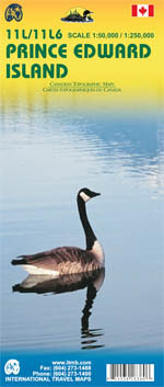
- Prince Edward Island ITMB
- Prince Edward Island at 1:250,000, plus its central section at 1:50,00, with cartography from Natural Resources Canada, the national survey organization, and tourist overprint provided by the publishers, ITMB.On one side is Prince Edward Island at 1:250,000, including the nearby coast of New Brunswick and Nova Scotia. The island’s road network... Read more
De Zwerver
Netherlands

Stanfords
United Kingdom
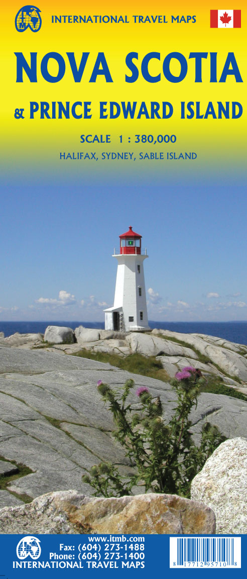
- Nova Scotia MapArt
- Indexed road map of Nova Scotia at 1:650,000 with coverage of much of New Brunswick plus Price Edward Island, plus more detailed mapping of Halifax and the Sydney area including street plans of their downtown districts, and Amherst, Digby, Glace Bay. New Glasgow - Pictou, North Sydney - Sidney Mines, Truro and Yarmouth; also ferry information... Read more

Stanfords
United Kingdom
- New Brunswick MapArt
- Indexed road map of New Brunswick at 1:600,000 with coverage of much of Nova Scotia and Price Edward Island, with more detailed maps of Saint John, Edmundston, Fredericton, Moncton, Campbellton, Bathurst, Hampton Grand Galls / Grand-Sault, and Miramichi, plus ferry information and a distance chart. The whole province is shown on one side at... Read more

Stanfords
United Kingdom
- Prince Edward Island
- Prince Edward Island on an indexed road map at 1:200,000, plus indexed street maps at 1:25,000 of its main towns: Charlottetown with Stratford and Cornwall, Alberton, Georgetown, Kensington, Montague, Souris, and Summerside; also contact details for information on ferry services.The main panel presents the island indicating loose surface and... Read more

Stanfords
United Kingdom
- CHS Chart 4925 - Harbours on the North Shore of Prince Edward Island
- Savage Harbour 1:15,000Covehead Bay 1:15,000St. Peters Bay 1:25,000Tracadie Bay 1:25,000Entrance to St. Peters Bay 1:12,000The official Canadian charts provide an excellent range of scales for the whole length of Canada`s coastline as well as the Grat Lakes and comply with Safety of Life at Sea (SOLAS) regulations.PLEASE NOTE: Canadian... Read more

Stanfords
United Kingdom
- New Brunswick - Prince Edward Island FastTrack
- Waterproof and tear-resistant FastTrack map presenting in a handy-size format indexed road maps of New Brunswick and Price Edward Island, both at 1:667,000, plus enlargements showing main urban areas in greater detail.New Brunswick is covered on two overlapping panels, with Prince Edward Island presented separately. The maps show road network... Read more

Stanfords
United Kingdom
- Manning Park - Skagit River ITMB
- Manning Park - Skagit River at 1:50,000 in a series of topographic survey maps of selected areas of British Columbia and the Canadian Rockies from ITMB with cartography from Canada’s national survey organization. Most sheets are printed on light, waterproof and tear- resistant plastic paper.Whilst the Canadian Department of Natural Resources... Read more

Stanfords
United Kingdom
- Atlantic Canada - New Brunswick - Nova Scotia - Prince Edward Island - Newfoundland
- Atlantic Provinces of Canada on an indexed road map at 1:800,000 with Newfoundland at 1:1,400,000, plus street maps of the region’s main cities, an overview route planning map, a distance table, and contact details for information on ferry services.On one side two panels present at 1:800,000 New Brunswick, Nova Scotia and Prince Edward Island,... Read more