De Zwerver
Netherlands
Netherlands
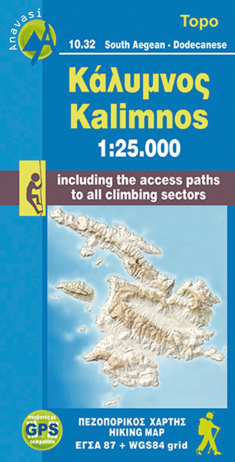
- Wandelkaart 337 Kalymnos | Terrain maps
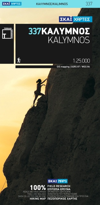
- Kalymnos at 1:25,000 on a contoured, GPS compatible hiking map published by Terrain Cartography group together with Skai Maps, and printed on light, waterproof and tear-resistant Polyart plastic paper, with extensive tourist information.Topography is very well presented by contours, enhanced by spot heights, subtle relief shading and additional... Read more
- Also available from:
- Stanfords, United Kingdom

Stanfords
United Kingdom
United Kingdom
- Kalymnos Terrain Editions 337
- Greek island of Kalymnos on a light, waterproof and tear-resistant, contoured and GPS compatible map at 1:25,000 from Terrain Editions, with a street plan of Kalymnos Town (Pothia) at 1:3,500. The reverse side includes information on the island’s rock climbing sites, plus descriptions of 13 specially selected hiking trails. All place names are... Read more