De Zwerver
Netherlands
Netherlands
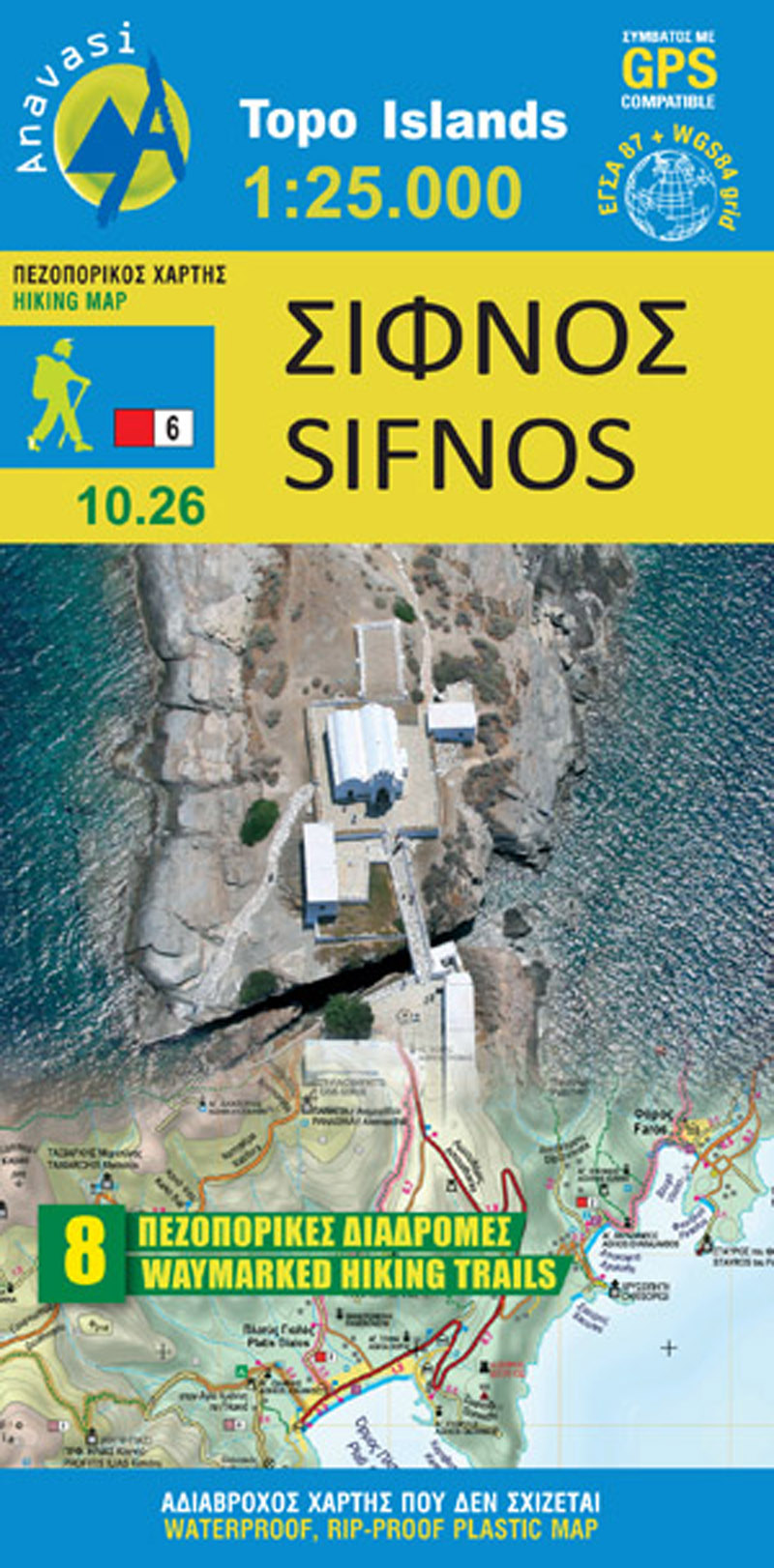
- Wandelkaart 10.26 Sifnos | Anavasi
- Sifnos in the Cyclades on light, a waterproof and tear-resistant, contoured and GPS compatible map at 1:25,000 from Anavasi for exploring the island on foot or by car, highlighting eight recommended hiking trails, plus descriptions of 11 most interesting locations on Sifnos.Landscape is vividly shown by contours at 20m with altitude colouring,... Read more