De Zwerver
Netherlands
- Wandelkaart 14 Discoverer Lough Neagh | Ordnance Survey Northern Ireland
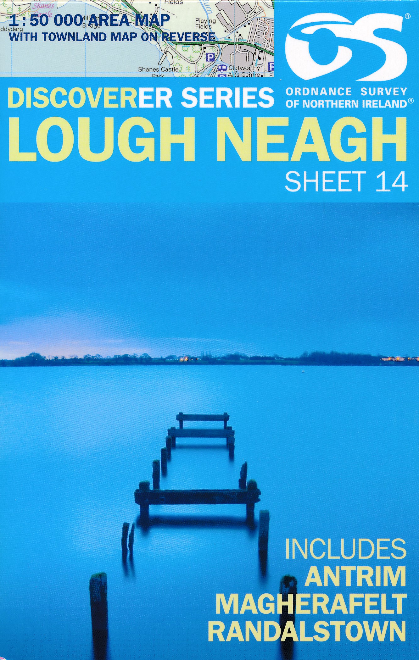
- Lough Neagh, map No. 14 in the Discoverer series from the Ordnance Survey of Northern Ireland presenting the country on detailed topographic maps at 1:50,000 with waymarked hiking trails, Sustrans National Cycle Network and other tourist information. Coverage includes Antrim, Magherafelt and Randalstown. Current edition E; publication date... Read more

Stanfords
United Kingdom
- Lough Neagh OSNI Discovery 14
- Lough Neagh, map No. 14 in the Discoverer series from the Ordnance Survey of Northern Ireland presenting the country on detailed topographic maps at 1:50,000 with waymarked hiking trails, Sustrans National Cycle Network and other tourist information. Coverage includes Antrim, Magherafelt and Randalstown. Current edition E; publication date... Read more
De Zwerver
Netherlands
- Wandelkaart 15 Discoverer Belfast | Ordnance Survey Northern Ireland
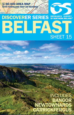
- Belfast, map No. 15 in the Discoverer series from the Ordnance Survey of Northern Ireland presenting the country on detailed topographic maps at 1:50,000 with waymarked hiking trails, Sustrans National Cycle Network and other tourist information. Coverage includes Bangor, Newtownards and Carrickfergus. Current edition G; publication date June... Read more

Stanfords
United Kingdom
- Belfast OSNI Discovery 15
- Belfast, map No. 15 in the Discoverer series from the Ordnance Survey of Northern Ireland presenting the country on detailed topographic maps at 1:50,000 with waymarked hiking trails, Sustrans National Cycle Network and other tourist information. Coverage includes Bangor, Newtownards and Carrickfergus. Current edition G; publication date June... Read more
De Zwerver
Netherlands

Stanfords
United Kingdom
- Ballycastle OSNI Discovery 05
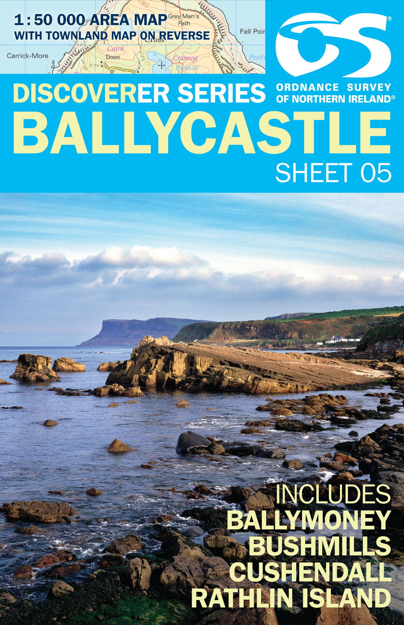
- Ballycastle, map No. 5 in the Discoverer series from the Ordnance Survey of Northern Ireland presenting the country on detailed topographic maps at 1:50,000 with waymarked hiking trails, Sustrans National Cycle Network and other tourist information. Coverage includes Ballymoney, Bushmills, Cushendall and Rathlin Islands. Current edition F;... Read more
De Zwerver
Netherlands
- Wandelkaart 20 Discoverer Craigavon | Ordnance Survey Northern Ireland
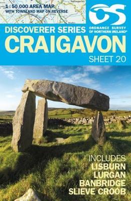
- Craigavon, map No. 20 in the Discoverer series from the Ordnance Survey of Northern Ireland presenting the country on detailed topographic maps at 1:50,000 with waymarked hiking trails, Sustrans National Cycle Network and other tourist information. Coverage includes Lisburn, Lurgan, Banbridge and Slieve Croob. Current edition F; publication... Read more

Stanfords
United Kingdom
- Craigavon OSNI Discovery 20
- Craigavon, map No. 20 in the Discoverer series from the Ordnance Survey of Northern Ireland presenting the country on detailed topographic maps at 1:50,000 with waymarked hiking trails, Sustrans National Cycle Network and other tourist information. Coverage includes Lisburn, Lurgan, Banbridge and Slieve Croob. Current edition published in... Read more
De Zwerver
Netherlands
De Zwerver
Netherlands
De Zwerver
Netherlands
De Zwerver
Netherlands
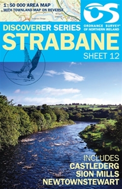
- Wandelkaart 12 Discoverer Strabane | Ordnance Survey Northern Ireland
- Zeer gedetailleerde topografische kaart met een aantal toegevoegde toeristische symbolen voor bijv. Bezienswaardigheden en campings. Met hoogtelijnen, mooi kleurgebruik en ingetekende lange-afstands-wandelroutes. OSNI has replaced the One-Inch maps with a completely new series at 1:50 000 scale. The series is numbered on an all-Ireland basis... Read more
De Zwerver
Netherlands
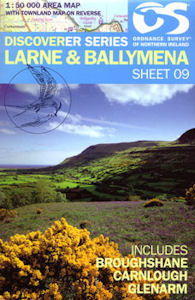
- Wandelkaart 09 Discoverer Larne | Ordnance Survey Northern Ireland
- Zeer gedetailleerde topografische kaart met een aantal toegevoegde toeristische symbolen voor bijv. Bezienswaardigheden en campings. Met hoogtelijnen, mooi kleurgebruik en ingetekende lange-afstands-wandelroutes. OSNI has replaced the One-Inch maps with a completely new series at 1:50 000 scale. The series is numbered on an all-Ireland basis... Read more
De Zwerver
Netherlands
De Zwerver
Netherlands
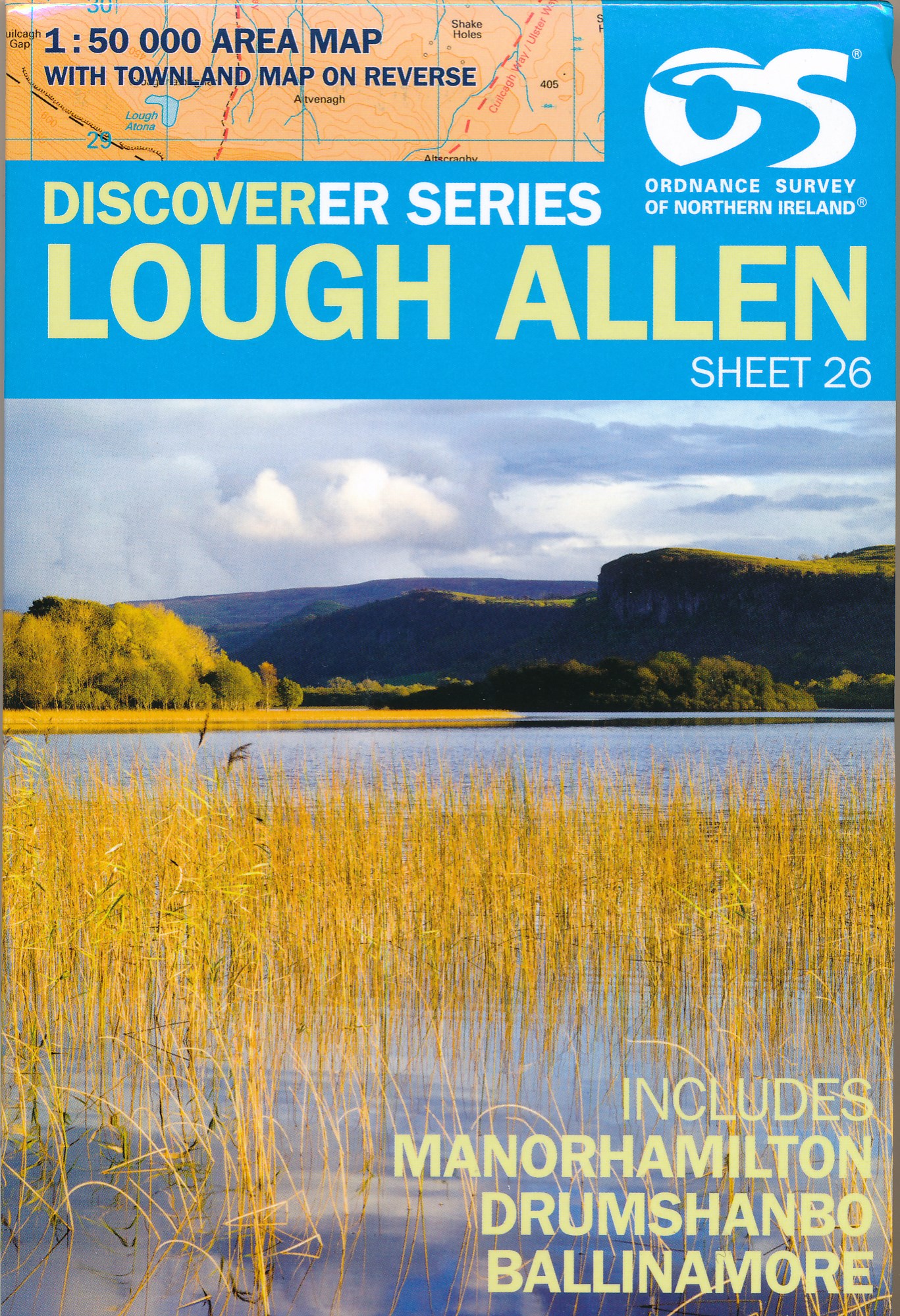
- Wandelkaart 26 Discoverer Lough Allen | Ordnance Survey Northern Ireland
- Zeer gedetailleerde topografische kaart met een aantal toegevoegde toeristische symbolen voor bijv. bezienswaardigheden, campings en jeugdherbergen. Met hoogtelijnen, mooi kleurgebruik en ingetekende lange-afstands-wandelroutes. Op deze kaart zijn de nationale parken en de 'national reserves ' uitstekend te vinden. De kaart is dus zowel voor de... Read more
De Zwerver
Netherlands
De Zwerver
Netherlands
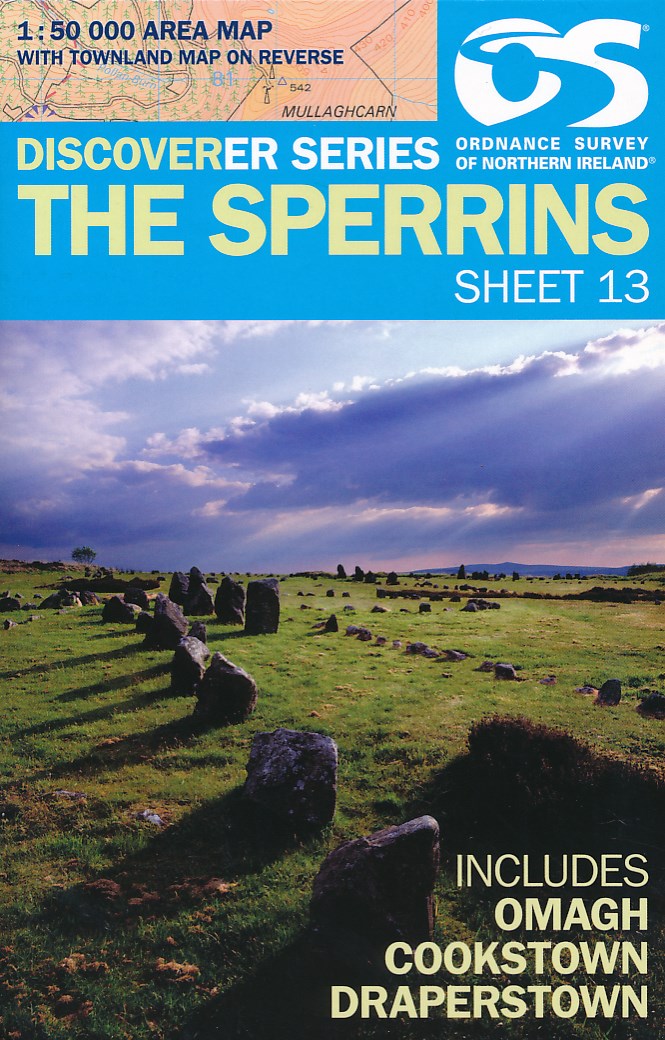
- Wandelkaart 13 Discoverer The Sperrins | Ordnance Survey Northern Ireland
- The Sperrins, map No. 13 in the Discoverer series from the Ordnance Survey of Northern Ireland presenting the country on detailed topographic maps at 1:50,000 with waymarked hiking trails, Sustrans National Cycle Network and other tourist information. Coverage includes Omagh, Cookstown and Draperstown. Current edition E; publication date... Read more

Stanfords
United Kingdom
- The Sperrins OSNI Discovery 13
- The Sperrins, map No. 13 in the Discoverer series from the Ordnance Survey of Northern Ireland presenting the country on detailed topographic maps at 1:50,000 with waymarked hiking trails, Sustrans National Cycle Network and other tourist information. Coverage includes Omagh, Cookstown and Draperstown. Current edition E; publication date... Read more
De Zwerver
Netherlands
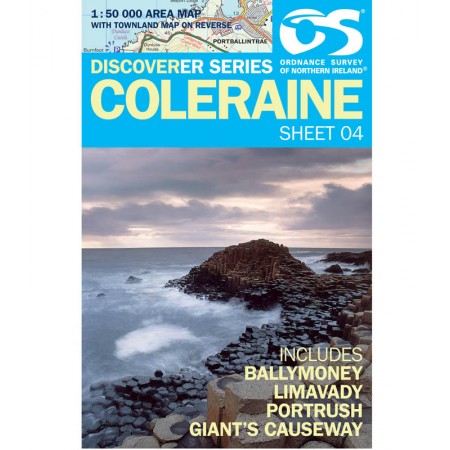
- Wandelkaart 04 Discoverer Coleraine | Ordnance Survey Northern Ireland
- Zeer gedetailleerde topografische kaart met een aantal toegevoegde toeristische symbolen voor bijv. Bezienswaardigheden en campings. Met hoogtelijnen, mooi kleurgebruik en ingetekende lange-afstands-wandelroutes. OSNI has replaced the One-Inch maps with a completely new series at 1:50 000 scale. The series is numbered on an all-Ireland basis... Read more
De Zwerver
Netherlands
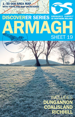
- Wandelkaart 19 Discoverer Armagh | Ordnance Survey Northern Ireland
- Armagh, map No. 19 in the Discoverer series from the Ordnance Survey of Northern Ireland presenting the country on detailed topographic maps at 1:50,000 with waymarked hiking trails, Sustrans National Cycle Network and other tourist information. Coverage includes Dungannon, Coalisland and Richhill. Current edition D; publication date November... Read more

Stanfords
United Kingdom
- Armagh OSNI Discovery 19
- Armagh, map No. 19 in the Discoverer series from the Ordnance Survey of Northern Ireland presenting the country on detailed topographic maps at 1:50,000 with waymarked hiking trails, Sustrans National Cycle Network and other tourist information. Coverage includes Dungannon, Coalisland and Richhill. Current edition D; publication date November... Read more