De Zwerver
Netherlands
2012
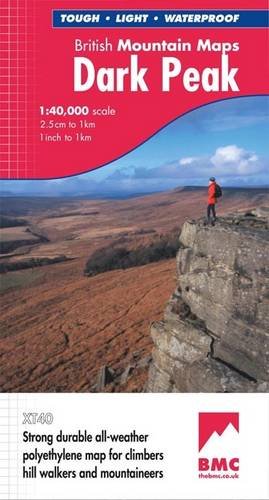
- Wandelkaart Dark Peak | Harvey Maps
- Waterproof mountain map of Dark Peak from Harvey at 1:40,000, with a geological map of the region on the reverse, an enlargement of the Kinder plateau, and advice on navigating the region safely.MAIN MAP: Topography is shown through clear altitude shading, spot heights, contours at 15m intervals, and index contours at 75m intervals. A variety... Read more