De Zwerver
Netherlands
De Zwerver
Netherlands
De Zwerver
Netherlands
De Zwerver
Netherlands
De Zwerver
Netherlands
De Zwerver
Netherlands
De Zwerver
Netherlands

Stanfords
United Kingdom
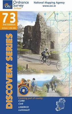
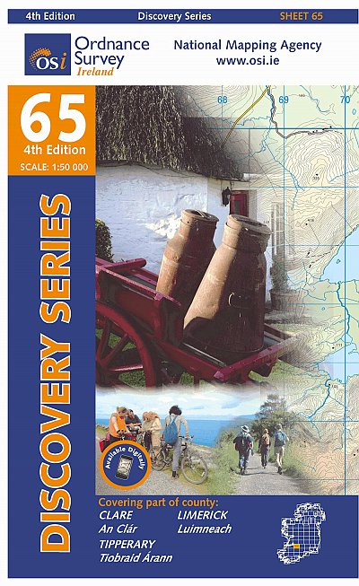
- Clare - Limerick - Tipperary OSI Discovery 65
- Map No. 65, Limerick North-East in the Discovery series from the OSI, the Ordnance Survey of Ireland, which presents the country on detailed topographic maps at 1:50,000, with additional overprint highlighting campsites and caravan parks, youth hostels, etc. Current 4th edition of this title was published in January 2013.Maps in the Discovery... Read more
Stanfords
United Kingdom
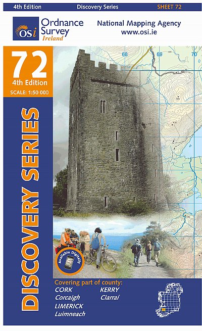
- Kerry - Cork - Limerick OSI Discovery 72
- Map No. 72, Kerry North-East - Cork North-West - Limerick South-West in the Discovery series from the OSI, the Ordnance Survey of Ireland, which presents the country on detailed topographic maps at 1:50,000, with additional overprint highlighting campsites and caravan parks, youth hostels, etc. Current 4th edition of this map was published in... Read more

Stanfords
United Kingdom
- C55 Dingle Bay to Galway Bay
- Plans included: Cashla Bay (1:30 000) Galway Bay (1:40 000) Galway Harbour (1:15 000) Kilronan (Aran Is.) (1:45 000) River Shannon to Limerick (1:110 000) Kilrush (1:30 000) Foynes Harbour (1:17 500) Fenit Island (1:35 000) Dingle Harbour (1:25 000) On this 2015 edition revised depths are shown throughout, in particular at Cashla Bay, Galway... Read more