Florence - Siena - Chianti area on a double-sided map at 1:50,000 from Kompass, printed on durable, waterproof and tear-resistant synthetic paper. Coverage includes Val di Pesa, Val d’Elsa, Monteriggioni, etc. Contours are at 40m intervals, with a 2-km UTM grid. Extensive overprint includes GEA - Grande Escursione Appenninica, Sentiero Italia,...Read more
Florence - Siena - Chianti area on a double-sided map at 1:50,000 from Kompass, printed on durable, waterproof and tear-resistant synthetic paper. Coverage includes Val di Pesa, Val d’Elsa, Monteriggioni, etc. Contours are at 40m intervals, with a 2-km UTM grid. Extensive overprint includes GEA - Grande Escursione Appenninica, Sentiero Italia,...Read more
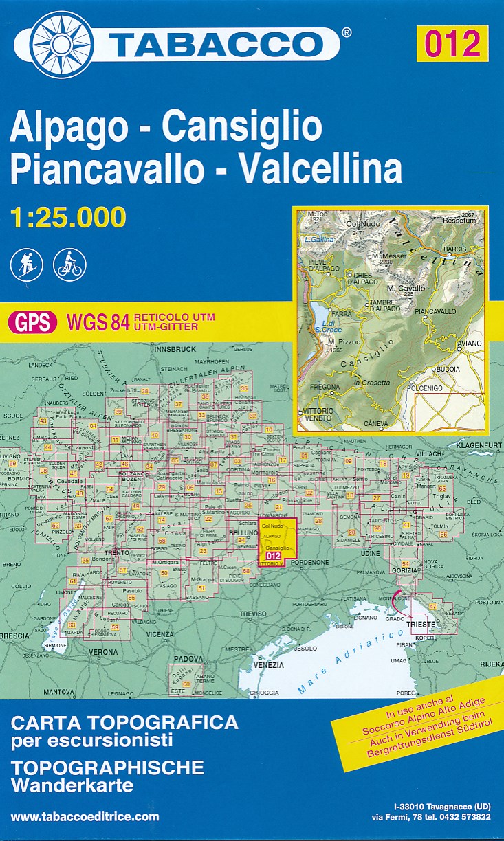
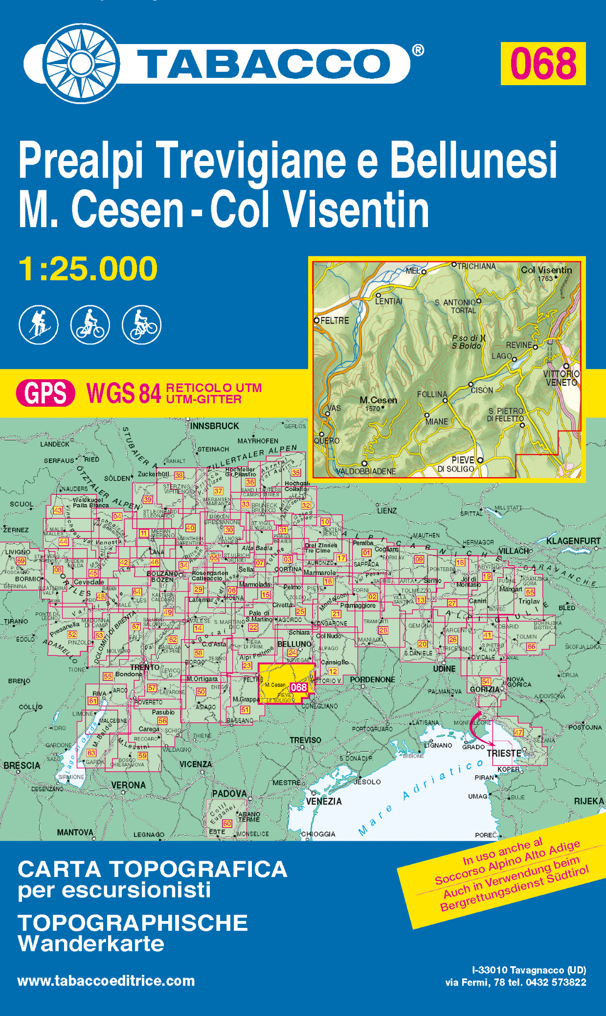
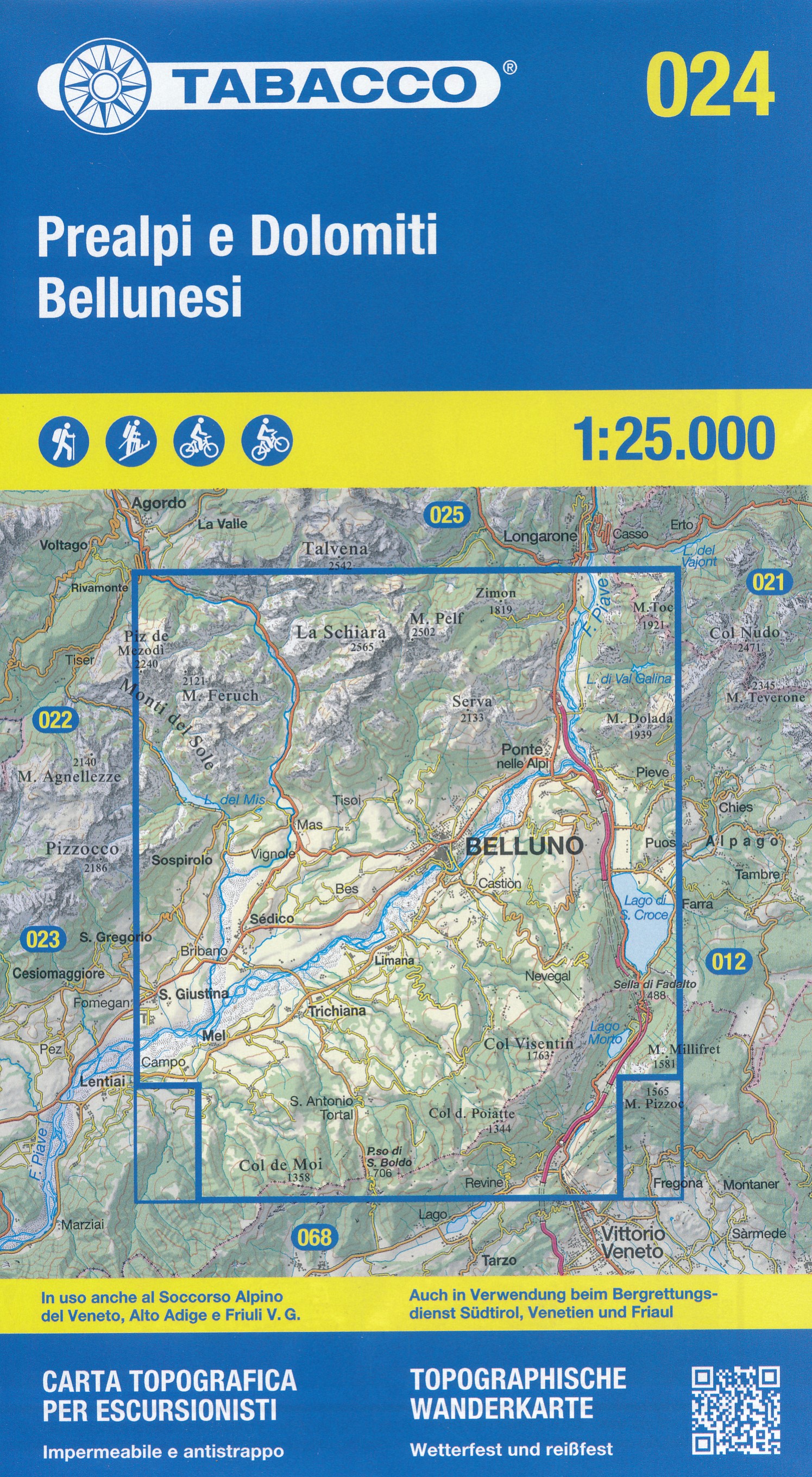
De beste wandelkaarten voor de Dolomieten. Zeer veel topografische details met secure hoogtelijnen (25 meter interval), helder kleurgebruik en bijna alle Tabacco kaarten hebben een UTM grid (voor GPS toepasbaar). Daarnaast zijn op deze wandelkaarten wandelroutes ingetekend met nummering gelijk aan markering onderweg aangebracht door de lokale...Read more
Alpago - Cansiglio - Piancavallo – Valcellina area in a series of Tabacco maps at 1:25,000 covering the Dolomites and the mountains of north-eastern Italy - Stanfords’ most popular coverage for this region, with excellent cartography and extensive overprint for hiking routes and other recreational activities, local bus stops, etc. Additional...Read more
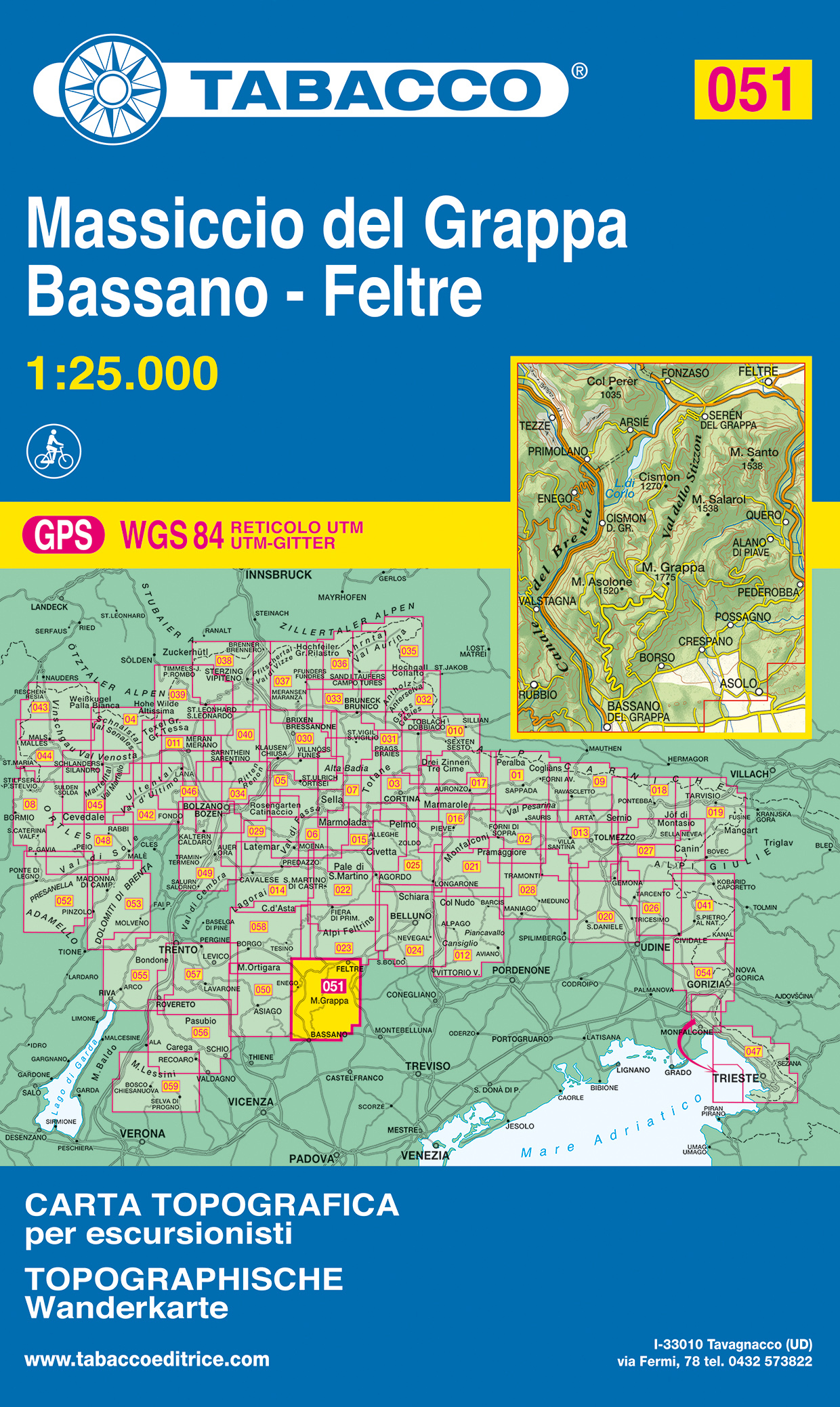
Monte Grappa - Basano - Feltre in a series of Tabacco maps at 1:25,000 covering the Dolomites and the mountains of north-eastern Italy - Stanfords’ most popular coverage for this region, with excellent cartography and extensive overprint for hiking routes and other recreational activities, local bus stops, etc. Additional overprint in this...Read more
Monte Grappa - Basano - Feltre in a series of Tabacco maps at 1:25,000 covering the Dolomites and the mountains of north-eastern Italy - Stanfords’ most popular coverage for this region, with excellent cartography and extensive overprint for hiking routes and other recreational activities, local bus stops, etc. Additional overprint in this...Read more
Monte Grappa - Basano - Feltre in a series of Tabacco maps at 1:25,000 covering the Dolomites and the mountains of north-eastern Italy - StanfordsRead more
Monte Grappa - Basano - Feltre in a series of Tabacco maps at 1:25,000 covering the Dolomites and the mountains of north-eastern Italy - Stanfords’ most popular coverage for this region, with excellent cartography and extensive overprint for hiking routes and other recreational activities, local bus stops, etc. Additional overprint in this...Read more
The westernmost part of the Italian Riviera with coverage extending from Monte Carlo to Imperia and northwards to Tende, in a series contoured hiking maps at 1:50,000 with local trails, long-distance footpaths, mountain accommodation, etc. from the Turin based Istituto Geografico Centrale.Maps in this series have contours at 50m intervals,...Read more
The westernmost part of the Italian Riviera with coverage extending from Monte Carlo to Imperia and northwards to Tende, in a series contoured hiking maps at 1:50,000 with local trails, long-distance footpaths, mountain accommodation, etc. from the Turin based Istituto Geografico Centrale.Maps in this series have contours at 50m intervals,...Read more