De Zwerver
Netherlands
Netherlands
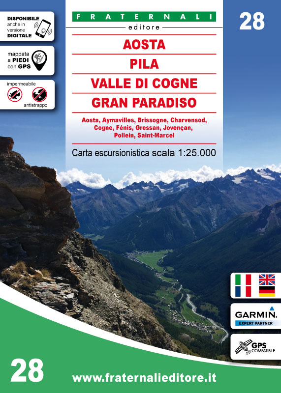
- Wandelkaart 28 Aosta, Pila, Valle di Cogne, Gran Paradiso | Fraternali Editore
- Gebied: Aosta, Aymavilles, Brissogne, Champorcher, Charvensod, Cogne, Fénis; Gressan, Jovençan; Pollein, Ronco Canavese, Saint-Marcel, Valprato Soana. Een uitstekende wandelkaart van de westkant van Italie waar tot voor kort geen echt goede kaarten beschikbaar waren. De lokale uitgeverij Fraternali heeft een prachtige serie gemaakt van... Read more


.jpg)