De Zwerver
Netherlands
2017
De Zwerver
Netherlands
» Click to open
Stanfords
United Kingdom
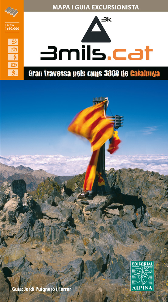
  • 3mils.cat: Traverse of Ten 3000m Peaks in the Catalan Pyreness
  • The “3mils.cat” route - a 125km / 10 day traverse across 10 over 3000m high peaks in the Catalan Pyrenees - on a contoured and GPS compatible map at 1:40,000 from Editorial Alpina with a booklet providing accommodation details, stage descriptions, etc.The route - from Tuc de Molières o Mulleres (3,010m), just south-east of Pic d’ Aneto, past... Read more
» Click to close
De Zwerver
Netherlands
De Zwerver
Netherlands
» Click to open
Stanfords
United Kingdom
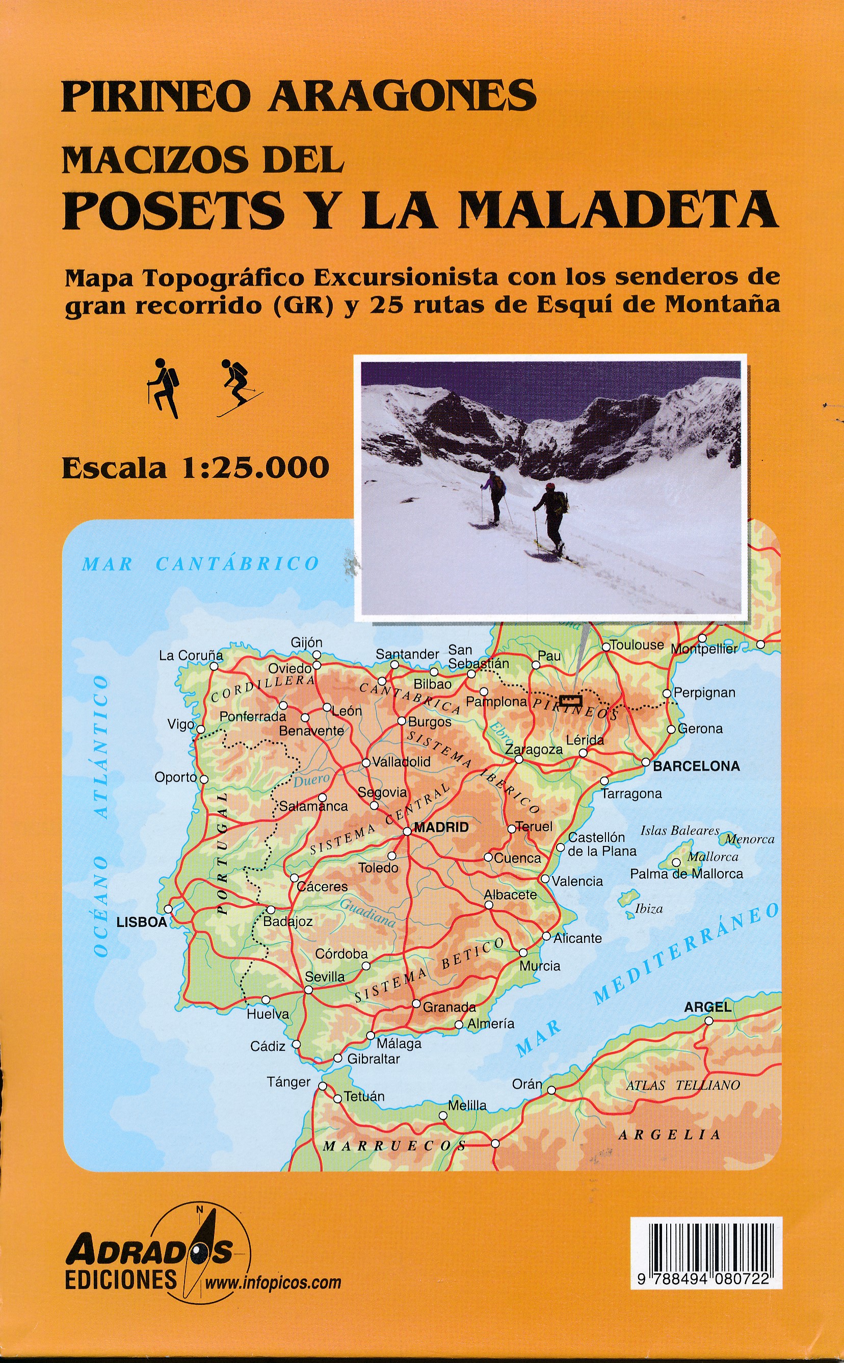
  • Posets and la Maladeta Massifs Adrados Map
  • Posets and Maladeta Massifs in the central part of the Spanish Pyrenees on a double-sided, contoured and GPS compatible map at 1:25,000 from Adrados Ediciones, with vivid presentation of the topography, hiking or ski trails, campsites and refuges, etc. Coverage extends from Plan and the Zinqueta River west of the Poset massif, across the... Read more
» Click to close
De Zwerver
Netherlands
2020
» Click to open
Stanfords
United Kingdom
2020
» Click to close
De Zwerver
Netherlands
» Click to open
Stanfords
United Kingdom
  • Vall de Boí - Aigüestortes PN Editorial Alpina
  • Vall de Boi area of the Spanish Pyrenees, including the western half of the Aigüestortes i Estany de Sant Maurici National Park, presented on a contoured and GPS compatible map at 1:25,000 from Editorial Alpina. The map has contours at 10m intervals, enhanced by relief shading with plenty of spot heights, plus colouring for different types of... Read more
» Click to close
De Zwerver
Netherlands
2017
De Zwerver
Netherlands
» Click to open
Stanfords
United Kingdom
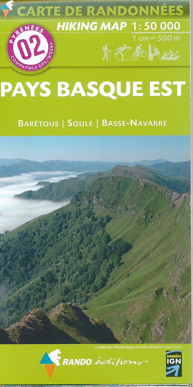
  • Pays Basque East Rando Editions 2
  • Western Pyrenees in France from the peaks of Iguzuki and Iparla, across St-Jean-Pied-de-Port and Larrau, to Pic d’Anie on a contoured and GPS compatible map at 1:50,000 from Rando Editions with topographic base provided by the IGN, highlighting local and long-distance hiking trails, cycle and mountain bike routes, etc. Topography is vividly... Read more
» Click to close
De Zwerver
Netherlands
» Click to open
Stanfords
United Kingdom
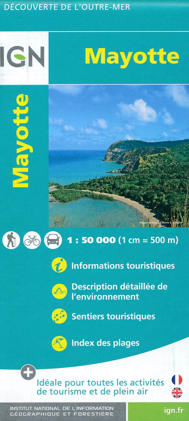
  • Mayotte IGN Map 84976
  • Mayotte at 1:50,000 on a contoured and GPS compatible map from the IGN, with plans of Mazoudzou and Dzaoudzi, plus an index of beaches. Topography is shown by contours at 20m intervals with relief shading and spot heights, plus colouring and/or graphics for different types of vegetation. In the surrounding waters coral reefs are prominently... Read more
» Click to close
De Zwerver
Netherlands
» Click to open
Stanfords
United Kingdom
  • Dax - Bayonne - Pays Basque IGN TOP100 166
  • Discover the new double-sided laminated edition of TOP100 road maps of France from the Institut Géographique National (IGN); exceptionally detailed, contoured road maps which include the cycle paths and greenways of the AF3V (French Association for the Development of Cycle Paths and Greenways), ideal for exploring the French countryside by car,... Read more
» Click to close
De Zwerver
Netherlands
» Click to open
Stanfords
United Kingdom
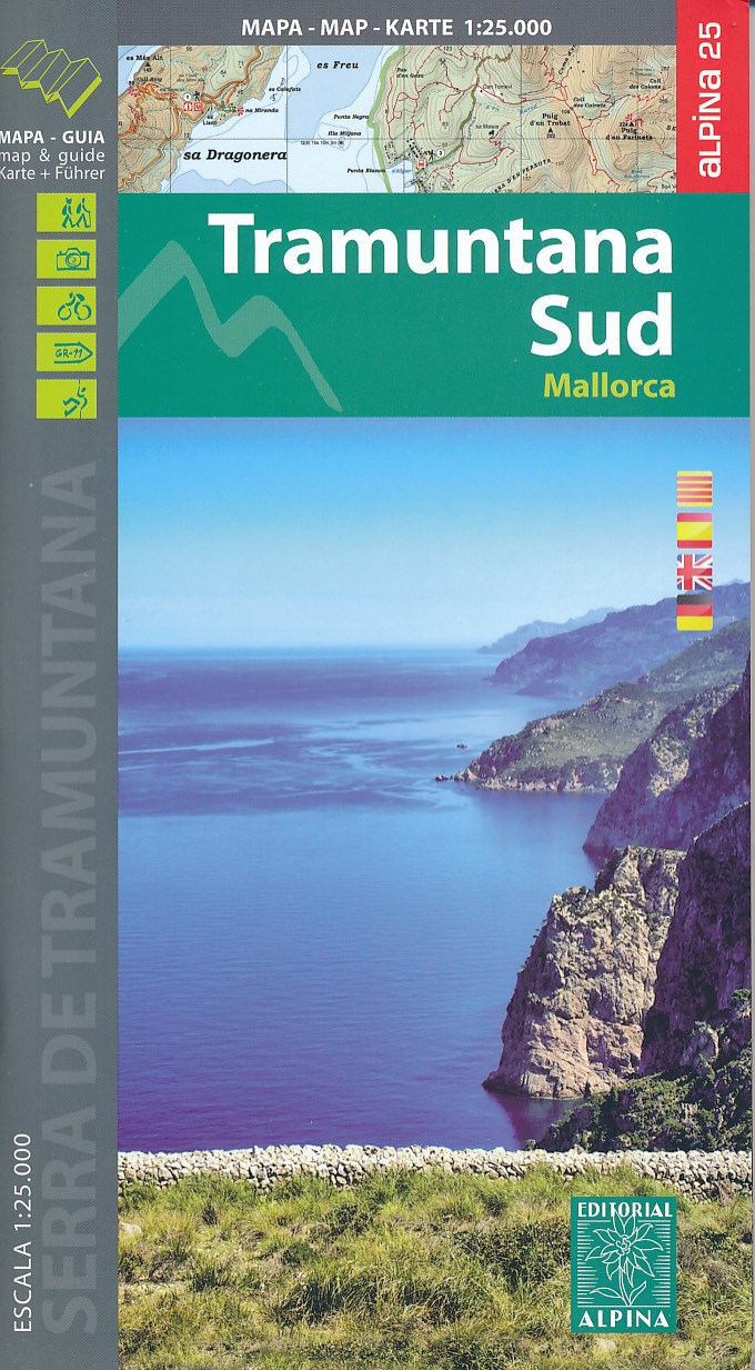
  • Mallorca - Tramuntana South Editorial Alpina
  • The southern part of Mallorca’s Serra de Tramuntana mountains on a contoured and GPS-compatible map at 1:25,000 from Editorial Alpina, highlighting numerous local hiking trails and the course of the GR221 long-distance trail, climbing and canyoning sites, refuges and campsites, etc. Accompanying booklet includes English-language descriptions of... Read more
» Click to close
De Zwerver
Netherlands
» Click to open
Stanfords
United Kingdom
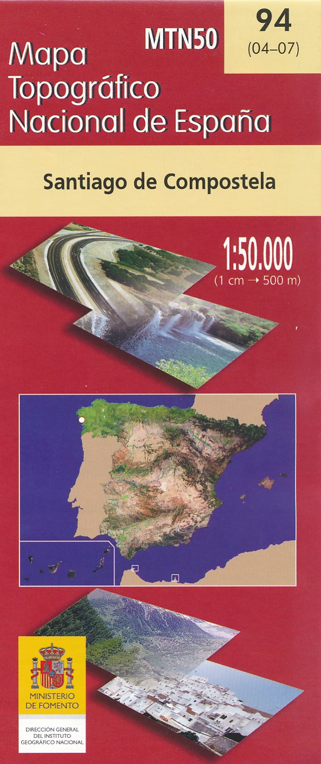
  • Santiago de Compostella CNIG Topo 94
  • Topographic coverage of mainland Spain at 1:50,000 in the MTN50 (Mapa Topográfico Nacional) series from the Centro Nacional de Información Geografica, the country’s civilian survey organization. The maps have contours at 20m intervals, enhanced by relief shading, plus colouring and/or graphics to show different types of terrain, vegetation or... Read more
» Click to close
De Zwerver
Netherlands
» Click to open
Stanfords
United Kingdom
  • Pays Basque West Rando Editions 1
  • The westernmost section of the French Pyrenees between the Atlantic coast and St-Jean-Pied-de-Port on a contoured and GPS compatible map at 1:50,000 from Rando Editions with topographic base provided by the IGN, highlighting local and long-distance hiking trails, cycle and mountain bike routes, etc. Coverage along the Atlantic coast starts at... Read more
» Click to close
De Zwerver
Netherlands
2016
» Click to open
Stanfords
United Kingdom
2016
  • Corsica North Didier Richard 08
  • Northern Corsica at 1:60,000 on a contoured and GPS compatible map from Didier Richard with a base derived from IGN’s topographic survey, highlighting both local walking / hiking routes and the GR network of long-distance paths, gîtes and mountain refuges, interesting natural and cultural sites, etc. The map covers the northern section of the... Read more
» Click to close
De Zwerver
Netherlands
2021
» Click to open
» Click to close