De Zwerver
Netherlands
De Zwerver
Netherlands
De Zwerver
Netherlands
2023
De Zwerver
Netherlands
2014
» Click to open
Stanfords
United Kingdom
2014
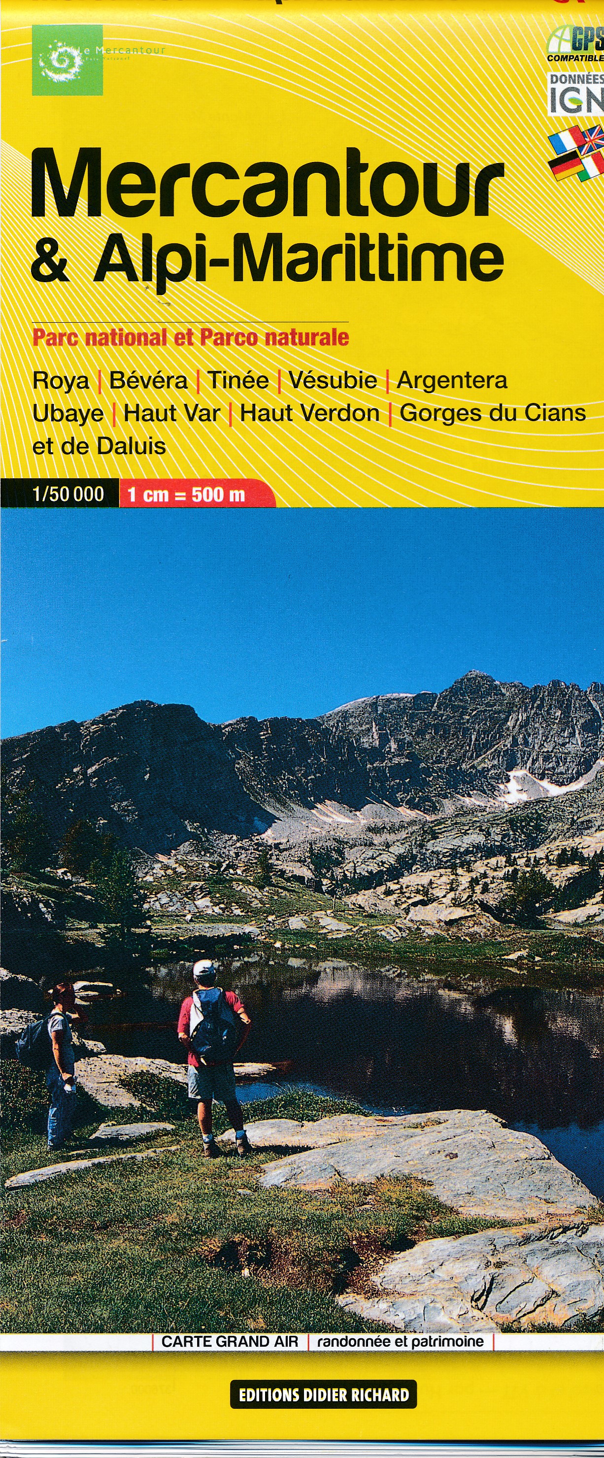
  • Mercantour & Alpi-Marittime Didier Richard 07
  • Mercantour National Park and the Maritime Alps on a large, double-sided, contoured and GPS compatible map from Editions Didier Richard highlighting local walking trails and long-distance hiking routes including the GR5. Coverage extends from well north of Col de Larch to Sospel, Levens and Roquestéron in the mountains north of the French... Read more
» Click to close
De Zwerver
Netherlands
2024
De Zwerver
Netherlands
» Click to open
Stanfords
United Kingdom
  • Western Rhodope Mountains Domino Map
  • Western Rhodope Mountains at 1:100,000 on a contoured GPS compatible map from Domino extending from just west of the Pirin National Park to Asenovgrad in the north-east. The map is double-sided with a good overlap between the sides. Topography is shown by contours at 50m intervals with relief shading and spot heights, plus colouring for... Read more
» Click to close
De Zwerver
Netherlands
2018
De Zwerver
Netherlands
De Zwerver
Netherlands
2022
De Zwerver
Netherlands
» Click to open
Stanfords
United Kingdom
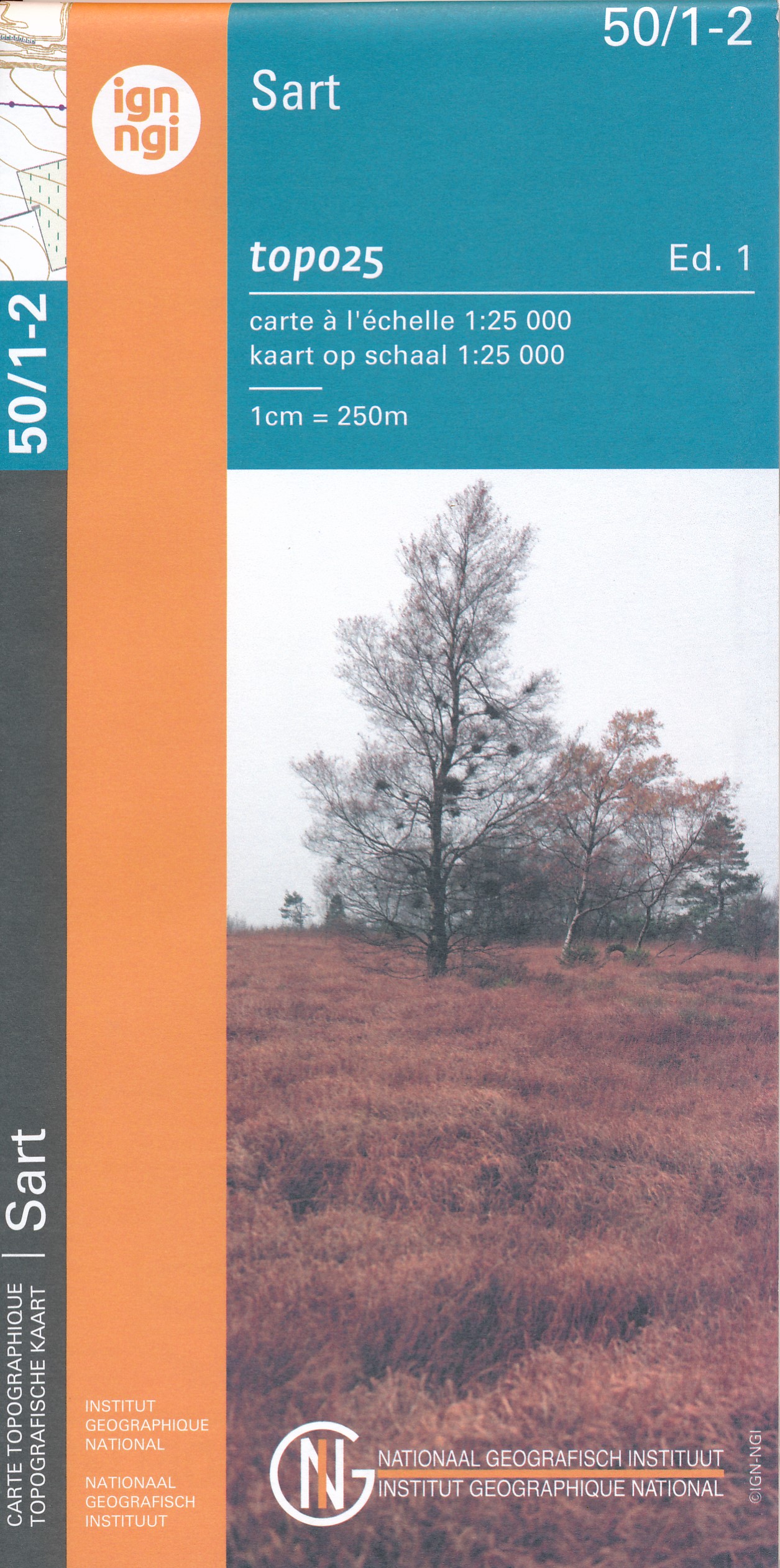
  • Sart NGI Topo 50/1-2
  • Topographical survey of Belgium at 1:20,000 from Nationaal Geografisch Instituut / Institut Géographique National, the country’s national survey organization. Each 20K map covers one quarter of the corresponding 1:50,000 map (with adjustments in the border and coastal areas). The maps provide all the information expected of topographic mapping... Read more
» Click to close
De Zwerver
Netherlands
2022
De Zwerver
Netherlands
De Zwerver
Netherlands
De Zwerver
Netherlands
2021
De Zwerver
Netherlands