Bol.com
Netherlands
- Shenandoah National Park
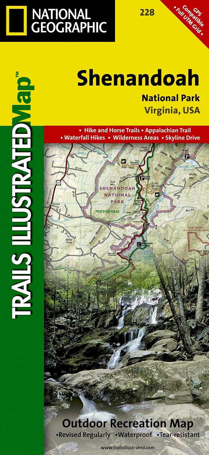
- Waterproof Tear-Resistant Topographic MapExpertly researched and created in partnership with local land management agencies, National Geographic's Trails Illustrated map of Shenandoah National Park provides an unparalleled tool for exploring this beautiful park. Particular attention is shown to camping, hiking, fishing, ranger programs,... Read more
Bol.com
Belgium
- Shenandoah National Park
- Waterproof Tear-Resistant Topographic MapExpertly researched and created in partnership with local land management agencies, National Geographic's Trails Illustrated map of Shenandoah National Park provides an unparalleled tool for exploring this beautiful park. Particular attention is shown to camping, hiking, fishing, ranger programs,... Read more

Stanfords
United Kingdom
- Shenandoah National Park VA NGS Trails Illustrated Map 228
- Map No. 228, Shenandoah National Park, VA, in an extensive series of GPS compatible, contoured hiking maps of USA’s national and state parks or forests and other popular recreational areas. Cartography based on the national topographic survey, with additional tourist information.The maps, with most titles now printed on light, waterproof and... Read more

The Book Depository
United Kingdom