De Zwerver
Netherlands
Netherlands
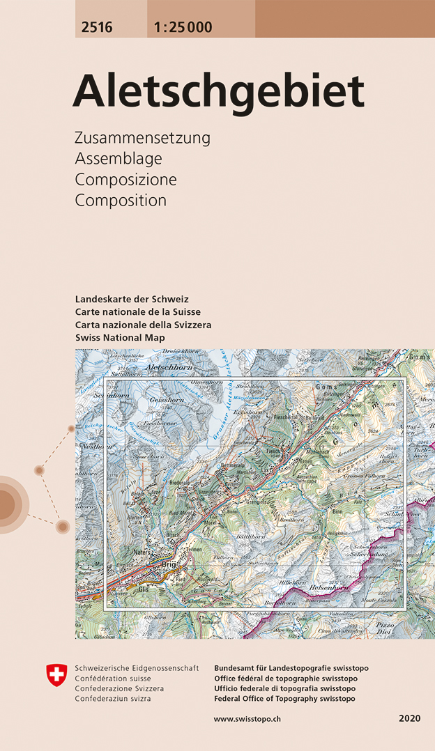
- Wandelkaart - Topografische kaart 2516 Aletschgebiet | Swisstopo
- Map No. 2516, Aletschgebiet - STANDARD EDITION, in the topographic survey of Switzerland at 1:25,000 from Swisstopo, covering both sides of the Rh Read more
- Also available from:
- Stanfords, United Kingdom

Stanfords
United Kingdom
United Kingdom
- Aletschgebiet Swisstopo 2516
- Map No. 2516, Aletschgebiet - STANDARD EDITION, in the topographic survey of Switzerland at 1:25,000 from Swisstopo, covering both sides of the Rhône Valley upstream from Brig and Naters, including Fiesch and Lax, the lower part of the Grosser Aletsch Glacier and Eggishorn.Swiss topographic survey at 1:25,000 covers the whole country on 247... Read more