De Zwerver
Netherlands

Stanfords
United Kingdom
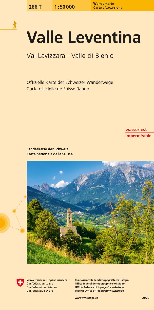
- Valle Leventina Swisstopo Hiking 266T
- Valle Leventina area, map No. 266T, at 1:50,000 in a special hiking edition of the country’s topographic survey, published by Swisstopo in cooperation with the Swiss Hiking Federation. Cartography, identical to the standard version of the survey, is highly regarded for its superb use of graphic relief and hill shading to provide an almost 3-D... Read more
De Zwerver
Netherlands

Stanfords
United Kingdom
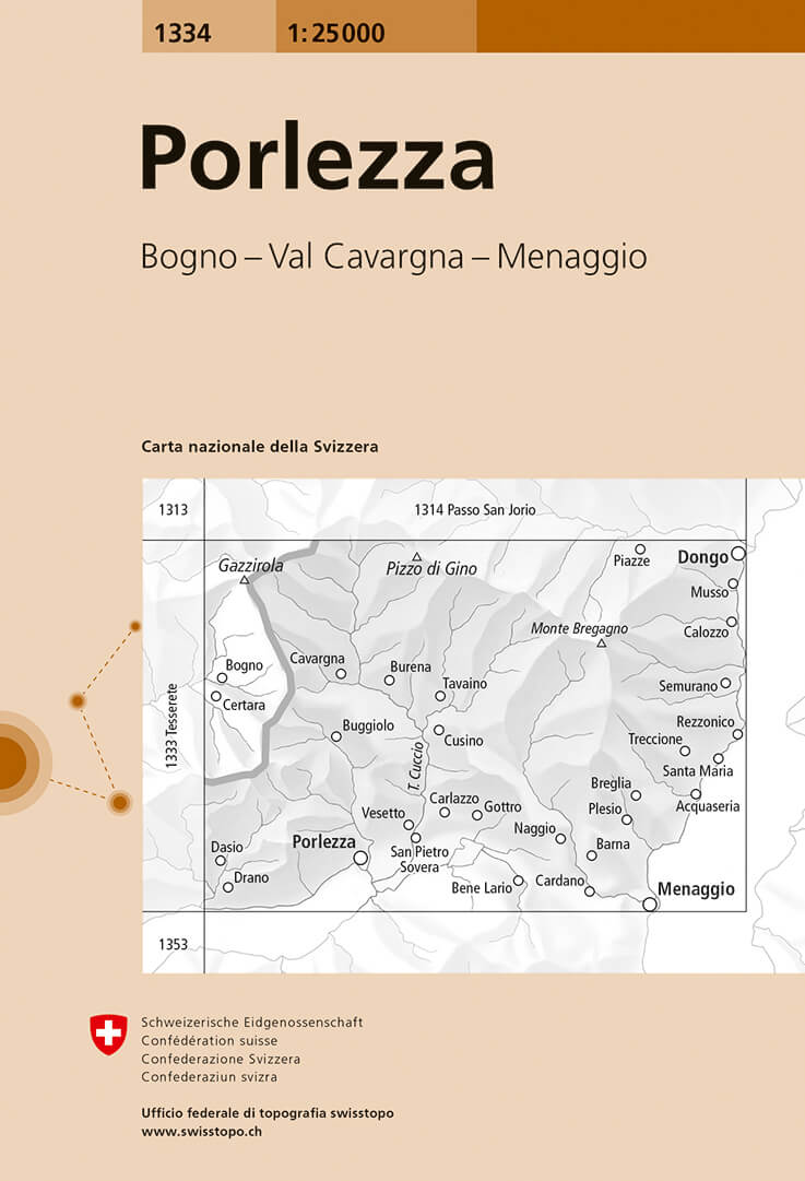
- Porlezza Swisstopo 1334
- Map No. 1334, Porlezza, in the topographic survey of Switzerland at 1:25,000 from Bundesamt für Landestopographie (swisstopo), covering the whole country on 247 small format sheets, with special larger maps published for popular regions including some titles now available in hiking versions.Highly regarded for their superb use of graphic relief... Read more
De Zwerver
Netherlands
De Zwerver
Netherlands
De Zwerver
Netherlands
Stanfords
United Kingdom
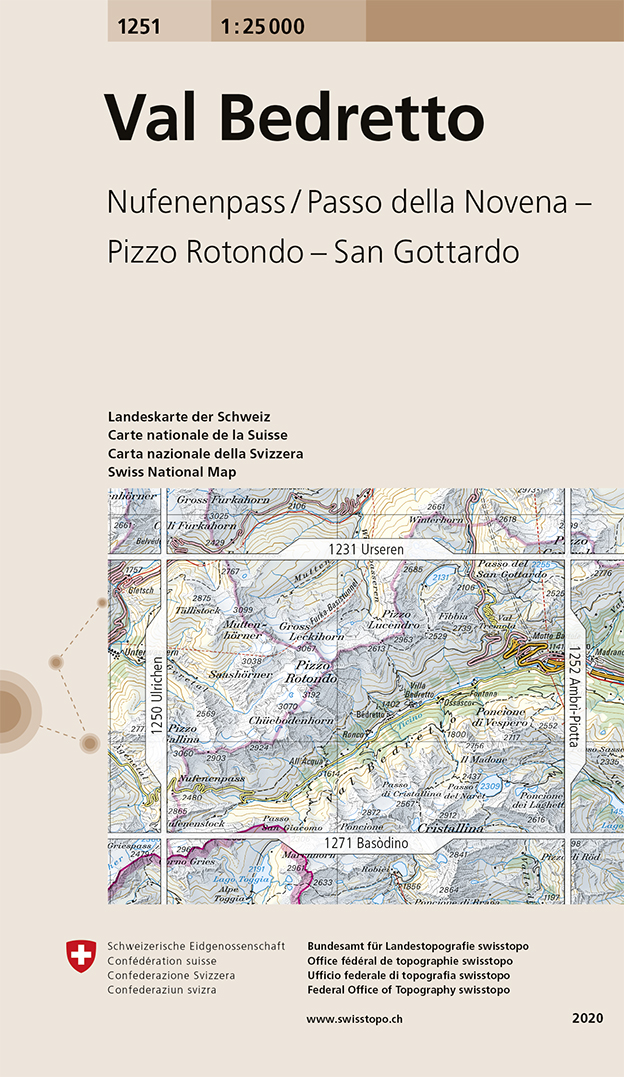
- Val Bedretto Swisstopo 1251
- Map No. 1251, Val Bedretto, in the topographic survey of Switzerland at 1:25,000 from Bundesamt für Landestopographie (swisstopo), covering the whole country on 247 small format sheets, with special larger maps published for popular regions including some titles now available in hiking versions.Highly regarded for their superb use of graphic... Read more
De Zwerver
Netherlands

Stanfords
United Kingdom
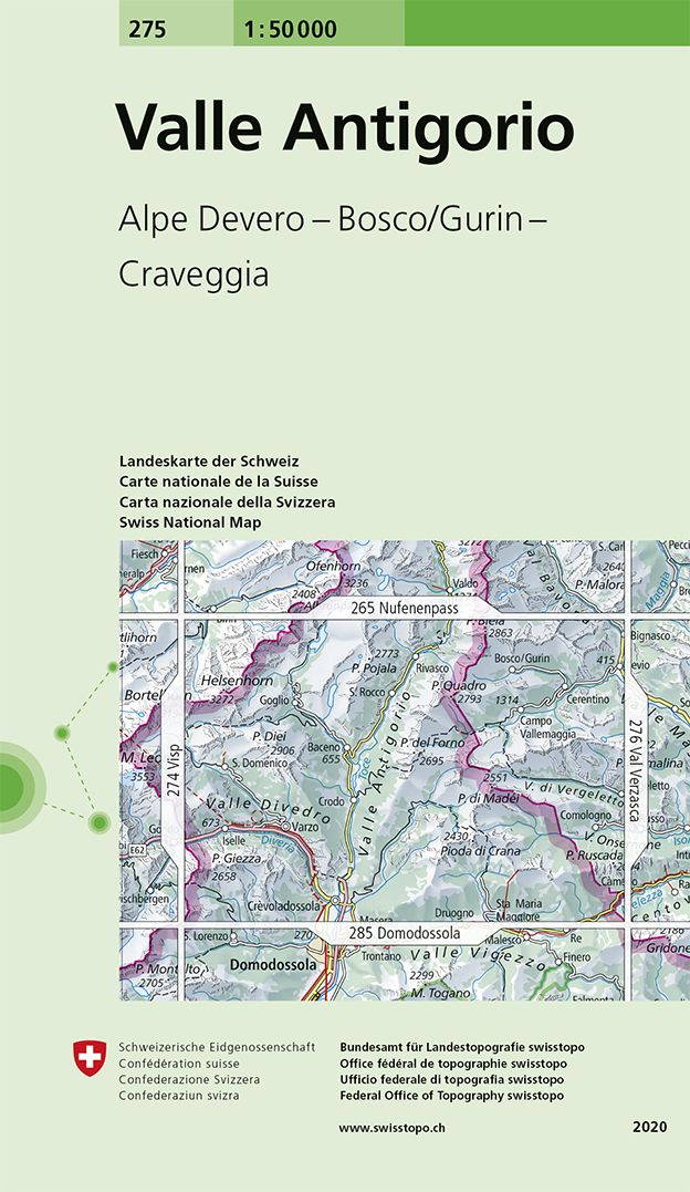
- Valle Antigorio Swisstopo 275
- Valle Antigorio, map No. 275, in the standard topographic survey of Switzerland at 1:50,000 from Swisstopo, i.e. without the special overprint highlighting walking trails, local bus stops, etc, presented in Swisstopo’s hiking editions of the 50K survey. The map covers mainly the Italian side of the border.Highly regarded for their superb use of... Read more
De Zwerver
Netherlands
Stanfords
United Kingdom
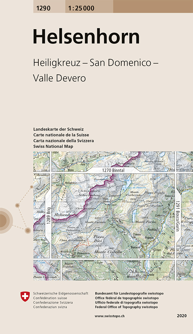
- Helsenhorn Swisstopo 1290
- Map No. 1290, Helsenhorn, in the topographic survey of Switzerland at 1:25,000 from Bundesamt für Landestopographie (swisstopo), covering the whole country on 247 small format sheets, with special larger maps published for popular regions including some titles now available in hiking versions.Highly regarded for their superb use of graphic... Read more
De Zwerver
Netherlands

Stanfords
United Kingdom
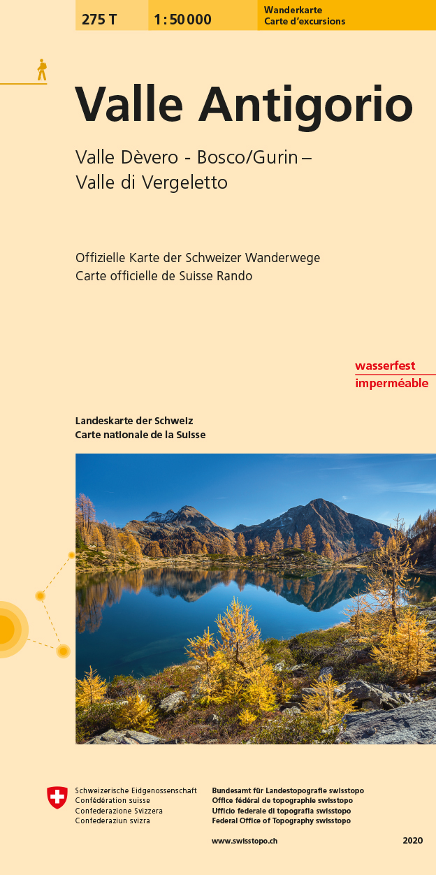
- Valle Antigorio Swisstopo Hiking 275T
- 5Valle Antigorio area, map No. 275T, at 1:50,000 in a special hiking edition of the country’s topographic survey, published by Swisstopo in cooperation with the Swiss Hiking Federation. Cartography, identical to the standard version of the survey, is highly regarded for its superb use of graphic relief and hill shading to provide an almost 3-D... Read more
De Zwerver
Netherlands
Stanfords
United Kingdom
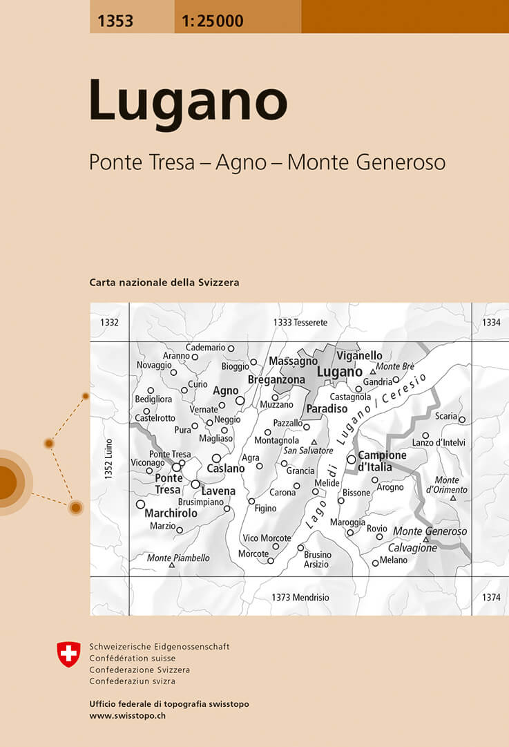
- Lugano Swisstopo 1353
- Map No. 1353, Lugano, in the topographic survey of Switzerland at 1:25,000 from Bundesamt für Landestopographie (swisstopo), covering the whole country on 247 small format sheets, with special larger maps published for popular regions including some titles now available in hiking versions.Highly regarded for their superb use of graphic relief... Read more
De Zwerver
Netherlands
De Zwerver
Netherlands
De Zwerver
Netherlands
- Wandelkaart - Topografische kaart 1252 Ambrì- Piotta | Swisstopo
- Zeer gedetailleerde wandelkaart van een deel van Zwitserland. De topografische details van deze kaarten zijn onovertroffen; de werkelijkheid is perfect weergegeven op deze kaart van uitzonderlijk hoog niveau. Ze zijn geschikt voor alle soorten gebruik: voor eenvoudige wandeltochten in simpel terrein tot zware bergtochten en beklimmingen van de... Read more

Stanfords
United Kingdom
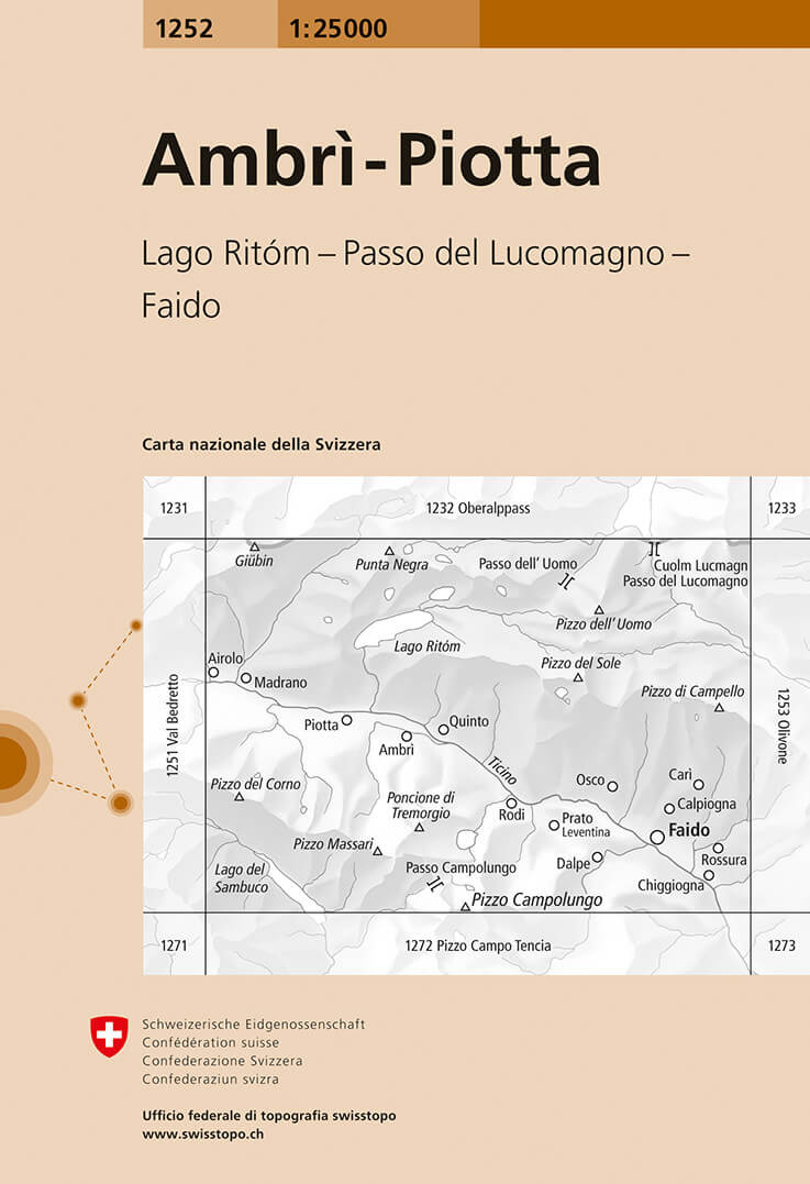
- Ambrì-Piotta Swisstopo 1252
- Map No. 1252, Ambrì-Piotta, in the topographic survey of Switzerland at 1:25,000 from Bundesamt für Landestopographie (swisstopo), covering the whole country on 247 small format sheets, with special larger maps published for popular regions including some titles now available in hiking versions.Highly regarded for their superb use of graphic... Read more
De Zwerver
Netherlands

Stanfords
United Kingdom
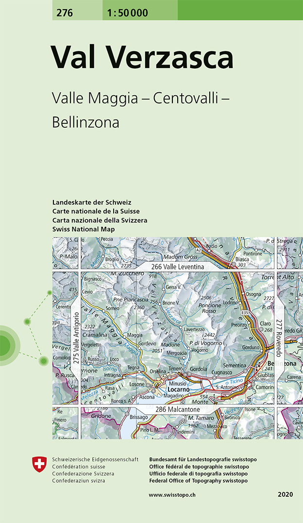
- Val Verzasca Swisstopo 276
- Val Verzasca, map No. 276, in the standard topographic survey of Switzerland at 1:50,000 from Swisstopo, i.e. without the special overprint highlighting walking trails, local bus stops, etc, presented in Swisstopo’s hiking editions of the 50K survey. Coverage extends from Belinzona in the east and Locarno in the south to include both Val... Read more
De Zwerver
Netherlands

Stanfords
United Kingdom
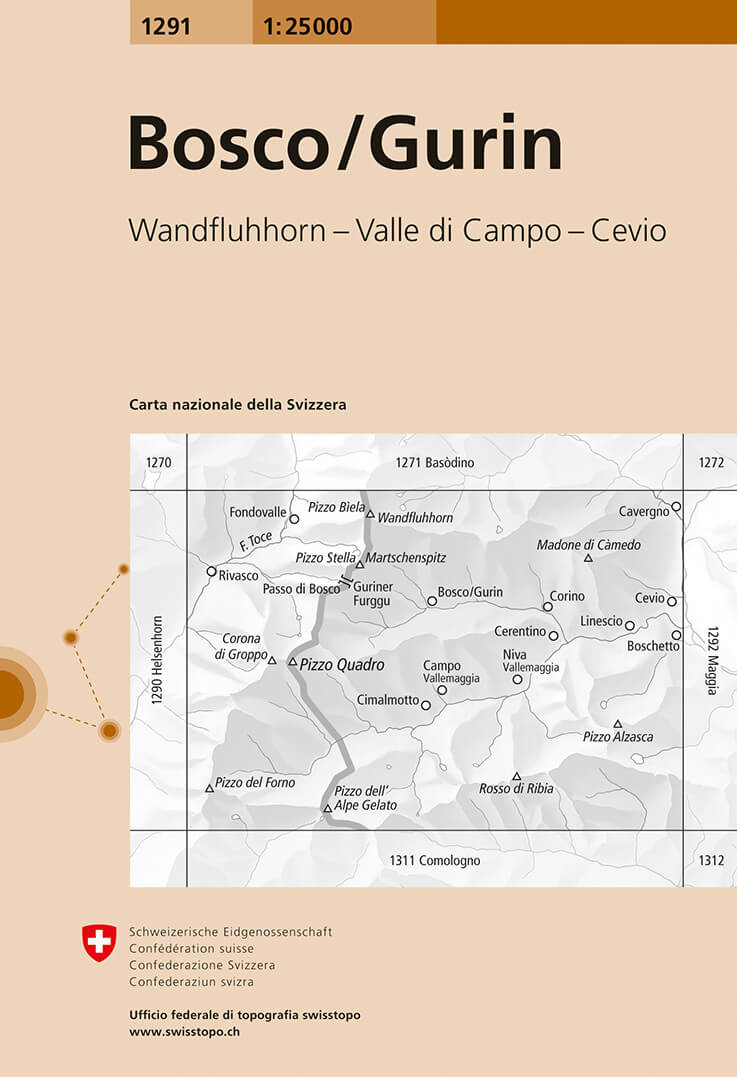
- Bosco / Gurin Swisstopo 1291
- Map No. 1291, Bosco/Gurin, in the topographic survey of Switzerland at 1:25,000 from Bundesamt für Landestopographie (swisstopo), covering the whole country on 247 small format sheets, with special larger maps published for popular regions including some titles now available in hiking versions.Highly regarded for their superb use of graphic... Read more
De Zwerver
Netherlands

Stanfords
United Kingdom
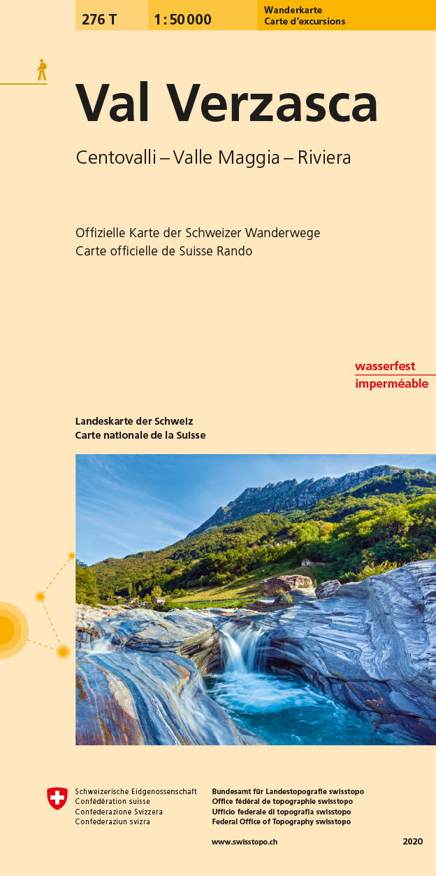
- Val Verzasca Swisstopo Hiking 276T
- Val Verzasca area, map No. 276T, at 1:50,000 in a special hiking edition of the country’s topographic survey, published by Swisstopo in cooperation with the Swiss Hiking Federation. Coverage extends from Belinzona in the east and Locarno in the south to include both Val Verzasca and Valle Maggia.Cartography, identical to the standard version of... Read more