De Zwerver
Netherlands
» Click to open
» Click to close
De Zwerver
Netherlands
» Click to open
Stanfords
United Kingdom
  • Cannes - Grasse - Cote d`Azur IGN 3643ET
  • Topographic survey of France at 1:25,000 in IGN`s excellent TOP25 / Série Bleue series. All the maps are GPS compatible, with a 1km UTM grid plus latitude and longitude lines at 5’ intervals. Contours are at 5m intervals except for mountainous areas where the maps have contours at 10m intervals, vividly enhanced by hill shading and graphics for... Read more
» Click to close
De Zwerver
Netherlands
2024
De Zwerver
Netherlands
De Zwerver
Netherlands
De Zwerver
Netherlands
» Click to open
Stanfords
United Kingdom
  • Salon-de-Provence - Miramas IGN 3143OT
  • Between 2014 and 2019, the IGN renewed its entire Serie Bleue collection.A new map for optimal readability, with better geometric precision and enriched tourist information.A new format twice as large: the format of the new Serie Bleue is equivalent to that of the Top 25 and the number of references will thus be divided by 2.For most maps, the... Read more
» Click to close
De Zwerver
Netherlands
2015
De Zwerver
Netherlands
» Click to open
Stanfords
United Kingdom
  • Nice - Menton - Cote d`Azur IGN 3742OT
  • Topographic survey of France at 1:25,000 in IGN`s excellent TOP25 / Série Bleue series. All the maps are GPS compatible, with a 1km UTM grid plus latitude and longitude lines at 5’ intervals. Contours are at 5m intervals except for mountainous areas where the maps have contours at 10m intervals, vividly enhanced by hill shading and graphics for... Read more
» Click to close
De Zwerver
Netherlands
De Zwerver
Netherlands
2024
De Zwerver
Netherlands
2013
» Click to open
Stanfords
United Kingdom
2013
  • Southern Provence: Marseille - Aix-en-Provence - Toulon
  • The Marseille - Aix-en-Provence - Toulon area of Provence at 1:60,000, with an enlargement for the Calanques National Park at 1:25,000, on a contoured and GPS compatible map from Didier Richard with a base derived from IGN’s topographic survey, highlighting both local hiking routes and the GR network of long-distance paths, gîtes and mountain... Read more
» Click to close
De Zwerver
Netherlands
» Click to open
Stanfords
United Kingdom
» Click to close
De Zwerver
Netherlands
De Zwerver
Netherlands
2013
» Click to open
Stanfords
United Kingdom
2013
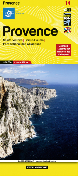
  • Maures - Esterel Didier Richard 15
  • Massif de Maures and the Esterel area of Provence and the French Riviera at 1:60,000 on a contoured and GPS compatible map from Didier Richard with a base derived from IGN’s topographic survey, highlighting both local hiking routes and the GR network of long-distance paths, gîtes d’etape, interesting natural and cultural sites, etc. The map... Read more
» Click to close
De Zwerver
Netherlands
» Click to open
Stanfords
United Kingdom
  • Camargue - Alpilles IGN 75033
  • TOP75 IGN maps (Tourism & Hiking) are ideal for discovering exceptional regions. Thanks to their ultra-precise mapping at a scale of 1:75,000, you can practice your favorite leisure activities: on foot by bike or by car. These maps include, in addition, 5 extracts of TOP25 at a scale of 1:25,000 for hiking in exceptional natural sites. Read more
» Click to close