De Zwerver
Netherlands

Stanfords
United Kingdom
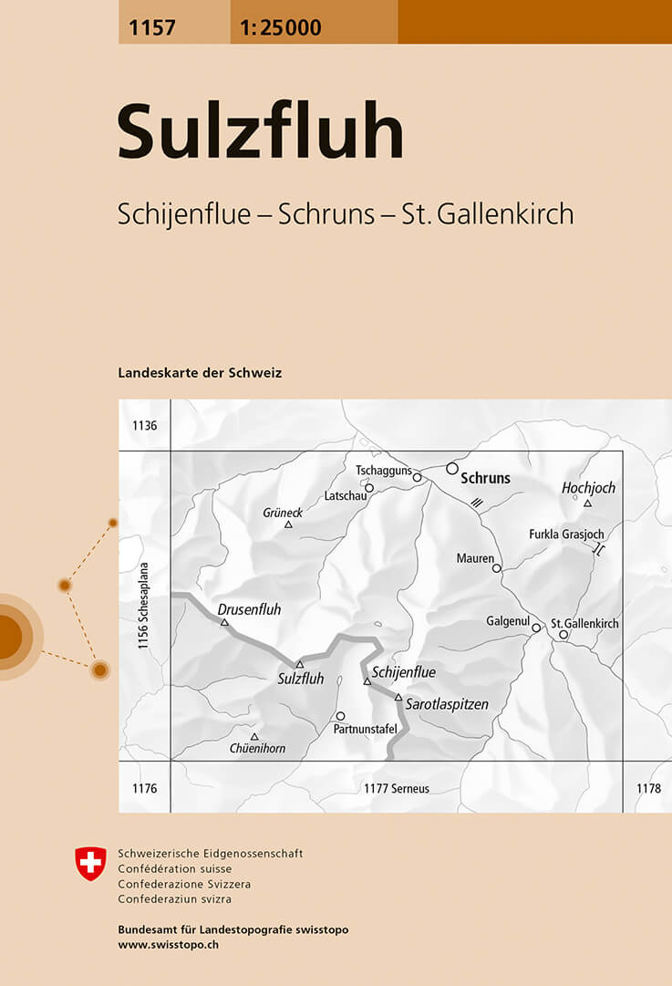
- Sulzfluh Swisstopo 1157
- Map No. 1157, Sulzfluh, in the topographic survey of Switzerland at 1:25,000 from Bundesamt für Landestopographie (swisstopo), covering the whole country on 247 small format sheets, with special larger maps published for popular regions including some titles now available in hiking versions.Highly regarded for their superb use of graphic relief... Read more
De Zwerver
Netherlands

Stanfords
United Kingdom
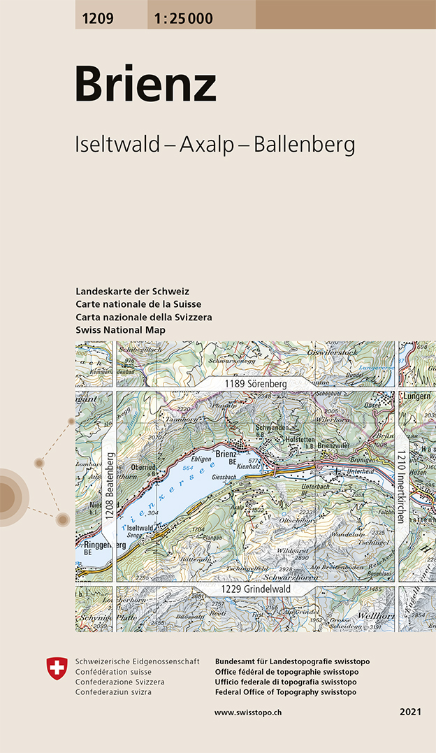
- Brienz Swisstopo 1209
- Map No. 1209, Brienz, in the topographic survey of Switzerland at 1:25,000 from Bundesamt für Landestopographie (swisstopo), covering the whole country on 247 small format sheets, with special larger maps published for popular regions including some titles now available in hiking versions.Highly regarded for their superb use of graphic relief... Read more
De Zwerver
Netherlands
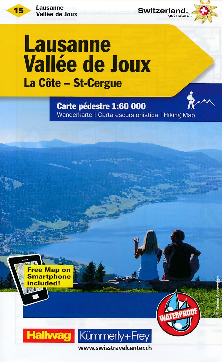
- Wandelkaart 15 Lausanne - Vallée de Joux | Kümmerly & Frey
- Zeer duidelijke wandelkaart van een deel van Zwitserland. Deze kaart - gemaakt op scheur en watervast papier - is bedoeld voor de gewone en gemiddelde bergwandelaar. Ook voor huttentochten is deze zeker geschikt. Slechts voor de gevorderde wandelaar die glesjers gaat overschrijden zijn de 25.000 topografische kaarten aan te raden. Op deze... Read more
De Zwerver
Netherlands
Stanfords
United Kingdom
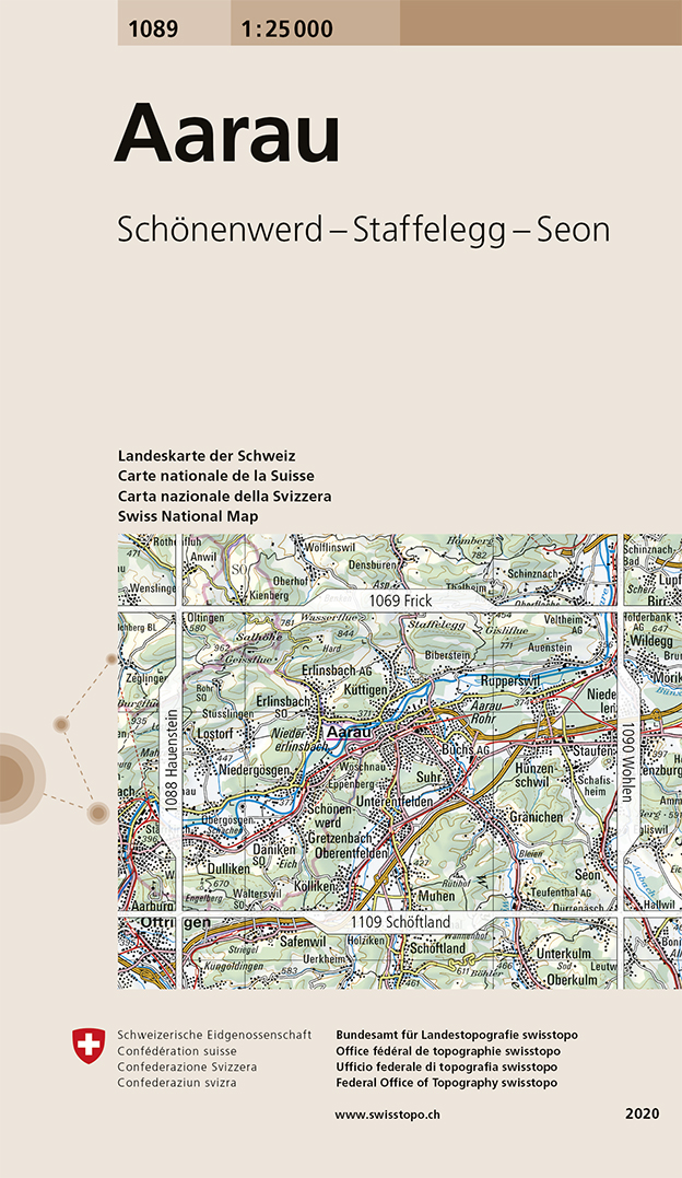
- Aarau Swisstopo 1089
- Map No. 1089, Aarau, in the topographic survey of Switzerland at 1:25,000 from Bundesamt für Landestopographie (swisstopo), covering the whole country on 247 small format sheets, with special larger maps published for popular regions including some titles now available in hiking versions.Highly regarded for their superb use of graphic relief... Read more
De Zwerver
Netherlands

Stanfords
United Kingdom
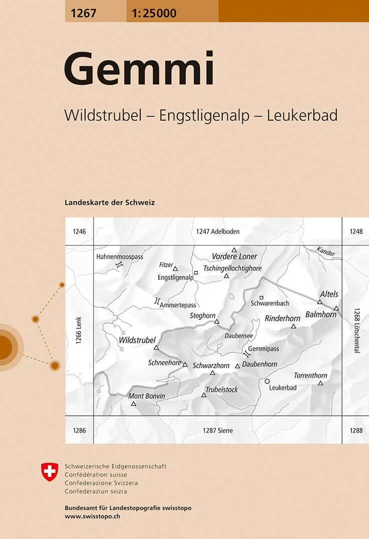
- Gemmi Swisstopo 1267
- Map No. 1267, Gemmi, in the topographic survey of Switzerland at 1:25,000 from Bundesamt für Landestopographie (swisstopo), covering the whole country on 247 small format sheets, with special larger maps published for popular regions including some titles now available in hiking versions.Highly regarded for their superb use of graphic relief... Read more
De Zwerver
Netherlands

De Zwerver
Netherlands
Stanfords
United Kingdom
- Beckenried Swisstopo 1171
- Map No. 1171, Beckenried, in the topographic survey of Switzerland at 1:25,000 from Bundesamt für Landestopographie (swisstopo), covering the whole country on 247 small format sheets, with special larger maps published for popular regions including some titles now available in hiking versions.Highly regarded for their superb use of graphic... Read more
De Zwerver
Netherlands
Stanfords
United Kingdom
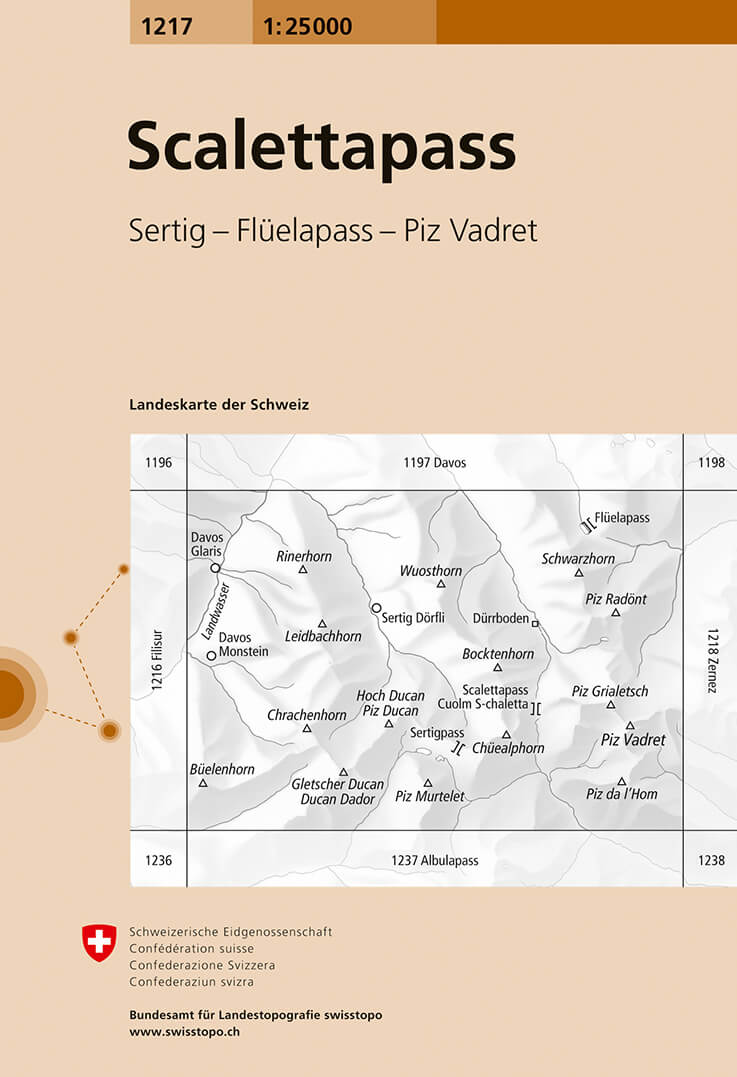
- Scalettapass Swisstopo 1217
- Map No. 1217, Scalettapass, in the topographic survey of Switzerland at 1:25,000 from Bundesamt für Landestopographie (swisstopo), covering the whole country on 247 small format sheets, with special larger maps published for popular regions including some titles now available in hiking versions.Highly regarded for their superb use of graphic... Read more
De Zwerver
Netherlands
De Zwerver
Netherlands

Stanfords
United Kingdom
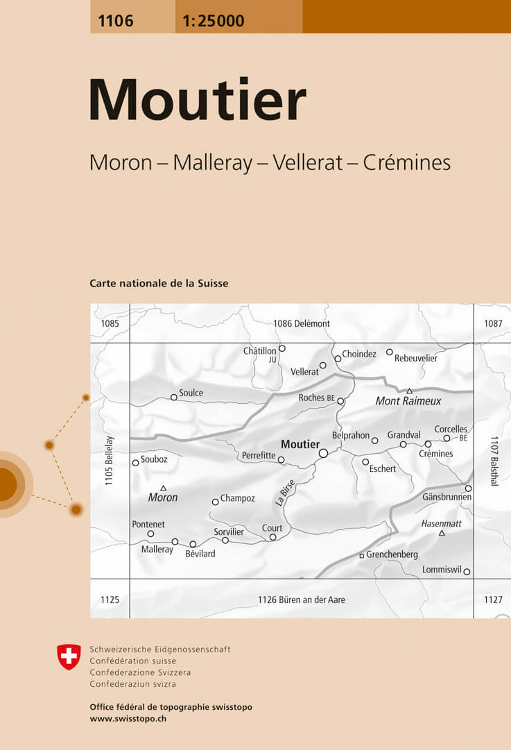
- Moutier Swisstopo 1106
- Map No. 1106, Moutier, in the topographic survey of Switzerland at 1:25,000 from Bundesamt für Landestopographie (swisstopo), covering the whole country on 247 small format sheets, with special larger maps published for popular regions including some titles now available in hiking versions.Highly regarded for their superb use of graphic relief... Read more
De Zwerver
Netherlands

Stanfords
United Kingdom
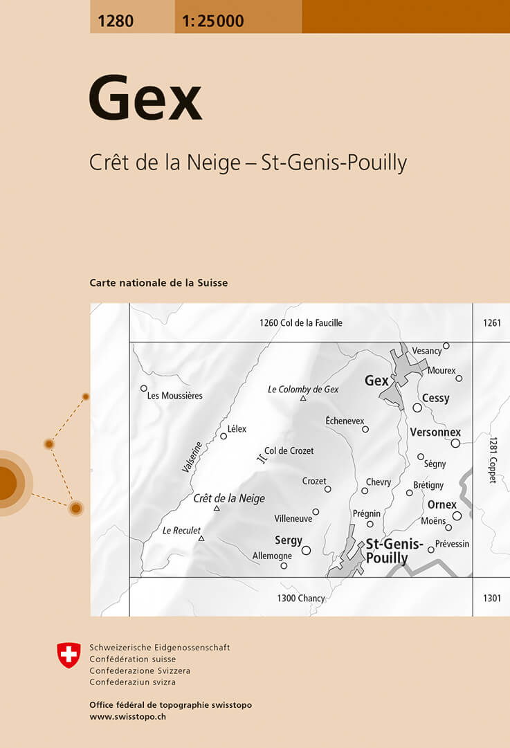
- Gex Swisstopo 1280
- Map No. 1280, Gex, in the topographic survey of Switzerland at 1:25,000 from Bundesamt für Landestopographie (swisstopo), covering the whole country on 247 small format sheets, with special larger maps published for popular regions including some titles now available in hiking versions.Highly regarded for their superb use of graphic relief and... Read more
De Zwerver
Netherlands

Stanfords
United Kingdom
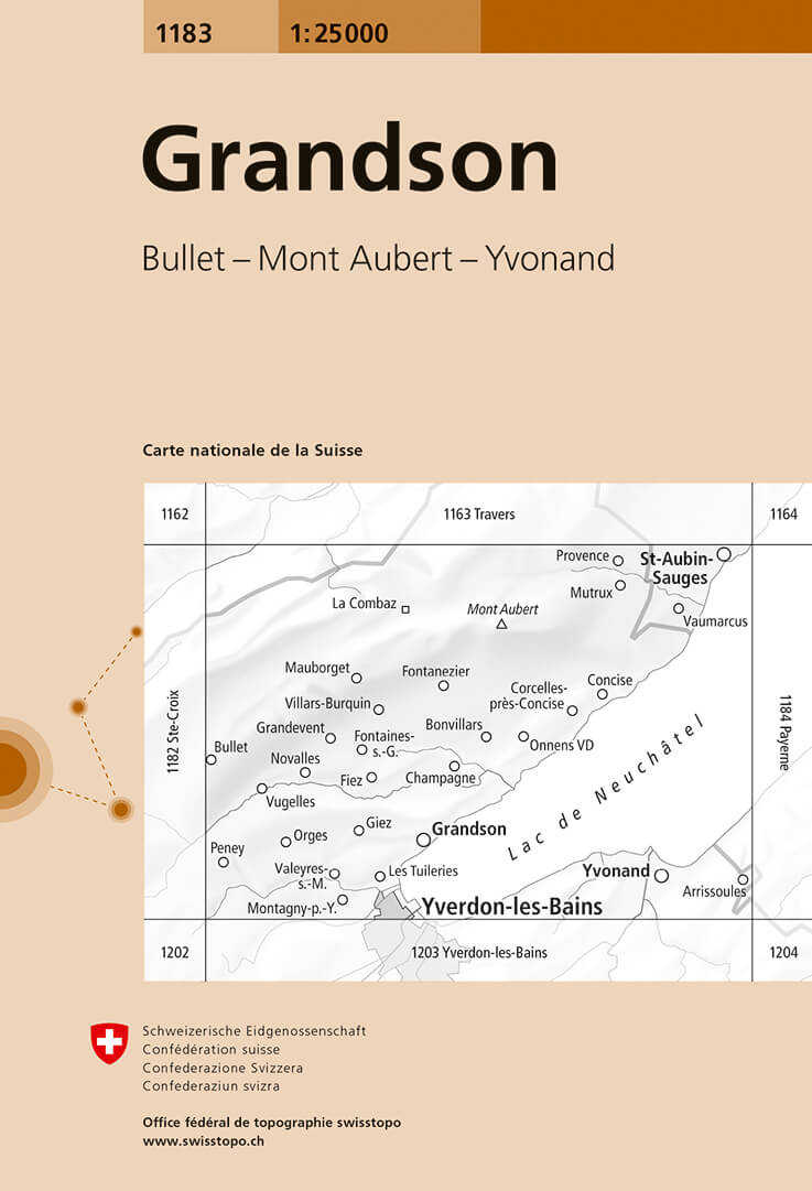
- Grandson Swisstopo 1183
- Map No. 1183, Grandson, in the topographic survey of Switzerland at 1:25,000 from Bundesamt für Landestopographie (swisstopo), covering the whole country on 247 small format sheets, with special larger maps published for popular regions including some titles now available in hiking versions.Highly regarded for their superb use of graphic relief... Read more
De Zwerver
Netherlands
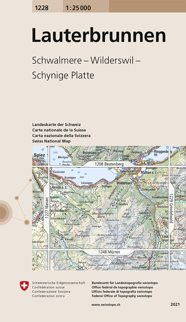
- Wandelkaart - Topografische kaart 1228 Lauterbrunnen | Swisstopo
- Map No. 1228, Lauterbrunnen, in the topographic survey of Switzerland at 1:25,000 from Swisstopo. Coverage includes Interlaken with the southern part of the Thunersee and the area south of it with Wengen, Wilderswil, and the peaks of Schynige Platte and Schalmere.Swiss topographic survey at 1:25,000 covers the whole country on 247 small format... Read more

Stanfords
United Kingdom
- Lauterbrunnen Swisstopo 1228
- Map No. 1228, Lauterbrunnen, in the topographic survey of Switzerland at 1:25,000 from Swisstopo. Coverage includes Interlaken with the southern part of the Thunersee and the area south of it with Wengen, Wilderswil, and the peaks of Schynige Platte and Schalmere.Swiss topographic survey at 1:25,000 covers the whole country on 247 small format... Read more
De Zwerver
Netherlands
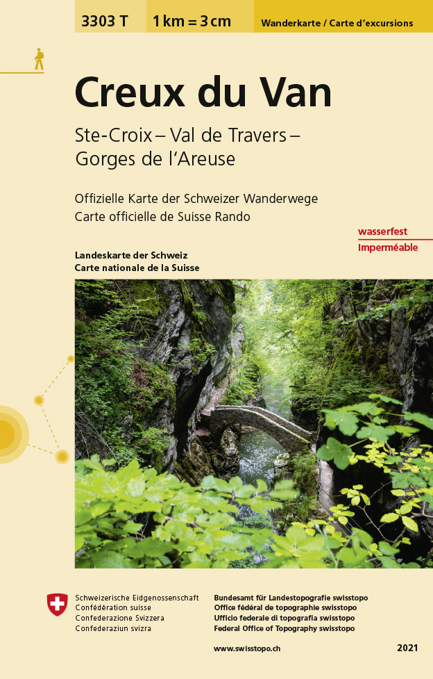
- Wandelkaart - Topografische kaart 3303T Creux du Van | Swisstopo
- Een nieuwe serie van de Zwitserse topografische dienst: eindelijk goede wandelkaarten met ingetekende wandelroutes op scheur- en watervast papier. Vooralsnog zijn ze uitgebracht van de populaire wandelgebieden en niet landelijk dekkend (zie overzicht) Op een gedetailleerde schaal van 1:33.333 met als ondergrond de onovertroffen topografische... Read more
De Zwerver
Netherlands
Stanfords
United Kingdom
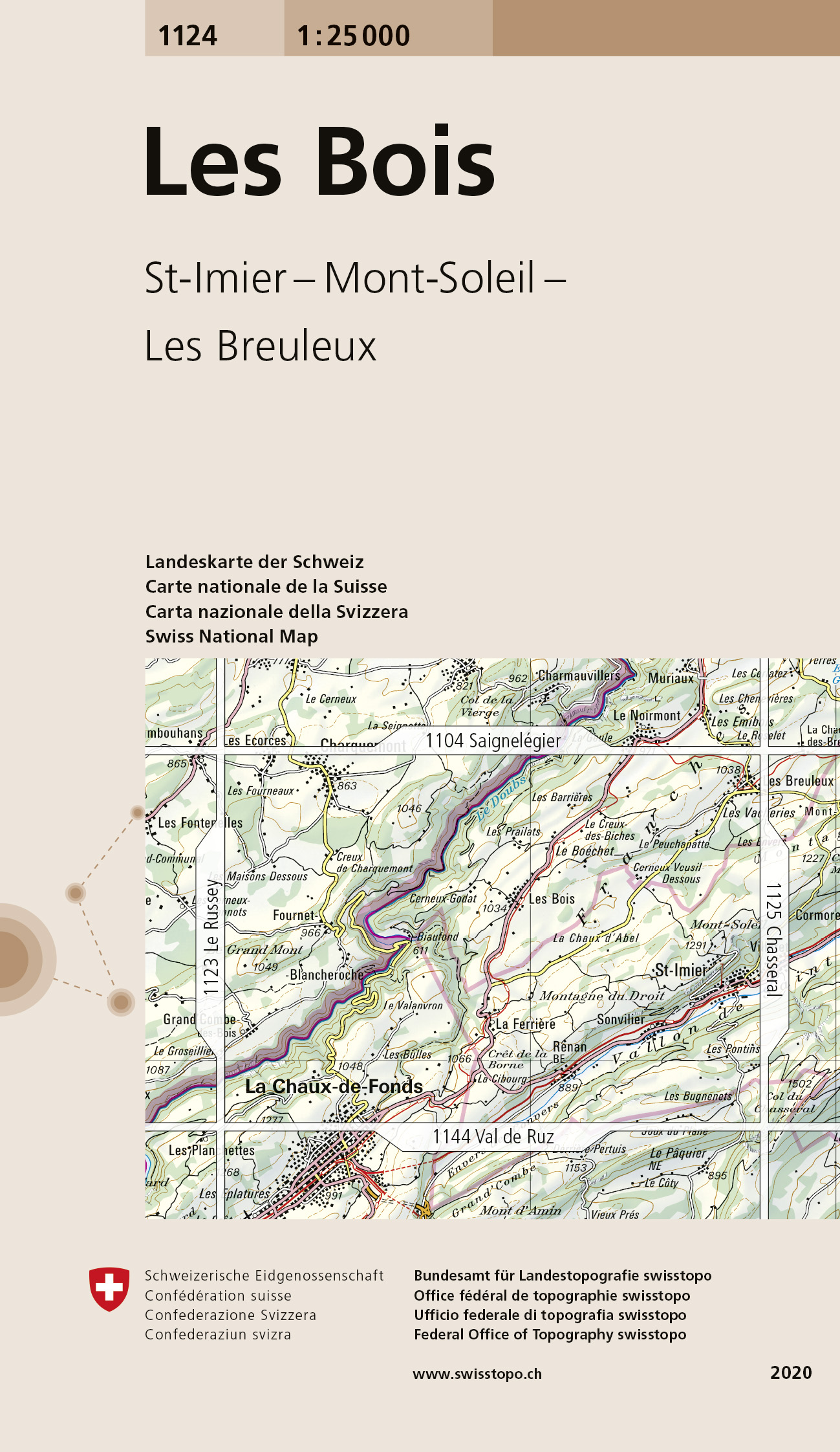
- Les Bois Swisstopo 1124
- Map No. 1124, Les Bois, in the topographic survey of Switzerland at 1:25,000 from Bundesamt für Landestopographie (swisstopo), covering the whole country on 247 small format sheets, with special larger maps published for popular regions including some titles now available in hiking versions.Highly regarded for their superb use of graphic relief... Read more
