De Zwerver
Netherlands

Stanfords
United Kingdom
- Binntal Swisstopo 1270
- Map No. 1270, Binntal, in the topographic survey of Switzerland at 1:25,000 from Bundesamt für Landestopographie (swisstopo), covering the whole country on 247 small format sheets, with special larger maps published for popular regions including some titles now available in hiking versions.Highly regarded for their superb use of graphic relief... Read more
De Zwerver
Netherlands
- Wandelkaart - Topografische kaart 3314T Andermatt | Swisstopo
- Een nieuwe serie van de Zwitserse topografische dienst: eindelijk goede wandelkaarten met ingetekende wandelroutes op scheur- en watervast papier. Vooralsnog zijn ze uitgebracht van de populaire wandelgebieden en niet landelijk dekkend (zie overzicht) Op een gedetailleerde schaal van 1:33.333 met als ondergrond de onovertroffen topografische... Read more
De Zwerver
Netherlands
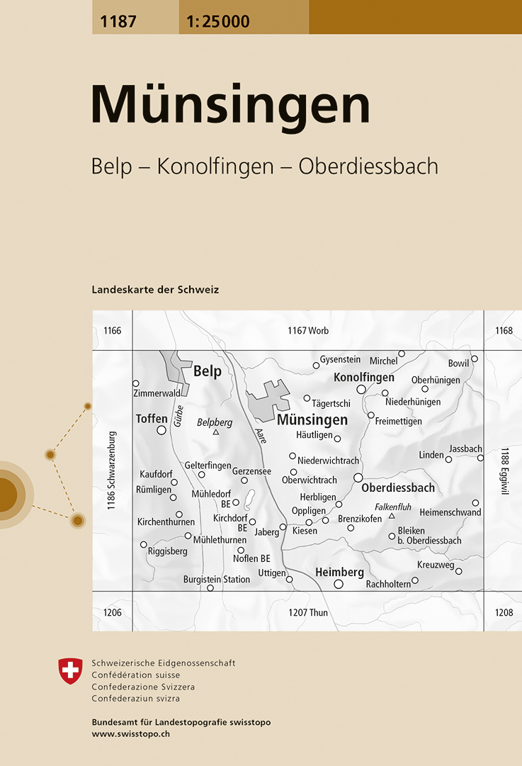
- Wandelkaart - Topografische kaart 1187 Münsingen | Swisstopo
- Zeer gedetailleerde wandelkaart van een deel van Zwitserland. De topografische details van deze kaarten zijn onovertroffen; de werkelijkheid is perfect weergegeven op deze kaart van uitzonderlijk hoog niveau. Ze zijn geschikt voor alle soorten gebruik: voor eenvoudige wandeltochten in simpel terrein tot zware bergtochten en beklimmingen van de... Read more

Stanfords
United Kingdom
- Münsingen Swisstopo 1187
- Map No. 1187, Münsingen, in the topographic survey of Switzerland at 1:25,000 from Bundesamt für Landestopographie (swisstopo), covering the whole country on 247 small format sheets, with special larger maps published for popular regions including some titles now available in hiking versions.Highly regarded for their superb use of graphic... Read more
De Zwerver
Netherlands
- Wandelkaart - Topografische kaart 1228 Lauterbrunnen | Swisstopo
- Map No. 1228, Lauterbrunnen, in the topographic survey of Switzerland at 1:25,000 from Swisstopo. Coverage includes Interlaken with the southern part of the Thunersee and the area south of it with Wengen, Wilderswil, and the peaks of Schynige Platte and Schalmere.Swiss topographic survey at 1:25,000 covers the whole country on 247 small format... Read more

Stanfords
United Kingdom
- Lauterbrunnen Swisstopo 1228
- Map No. 1228, Lauterbrunnen, in the topographic survey of Switzerland at 1:25,000 from Swisstopo. Coverage includes Interlaken with the southern part of the Thunersee and the area south of it with Wengen, Wilderswil, and the peaks of Schynige Platte and Schalmere.Swiss topographic survey at 1:25,000 covers the whole country on 247 small format... Read more
De Zwerver
Netherlands

Stanfords
United Kingdom
- Stans Swisstopo Hiking 245T
- Stans area, map No. 245T, at 1:50,000 in a special hiking edition of the country’s topographic survey, published by Swisstopo in cooperation with the Swiss Hiking Federation. Coverage includes the southern part of Lake Lucerne, Pilatus and the Engelberg area.Cartography, identical to the standard version of the survey, is highly regarded for... Read more
De Zwerver
Netherlands
Stanfords
United Kingdom
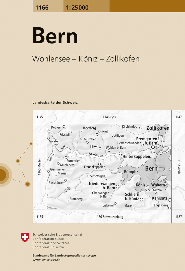
- Bern Swisstopo 1166
- Map No. 1166, Bern, in the topographic survey of Switzerland at 1:25,000 from Bundesamt für Landestopographie (swisstopo), covering the whole country on 247 small format sheets, with special larger maps published for popular regions including some titles now available in hiking versions.Highly regarded for their superb use of graphic relief and... Read more
De Zwerver
Netherlands
De Zwerver
Netherlands

Stanfords
United Kingdom
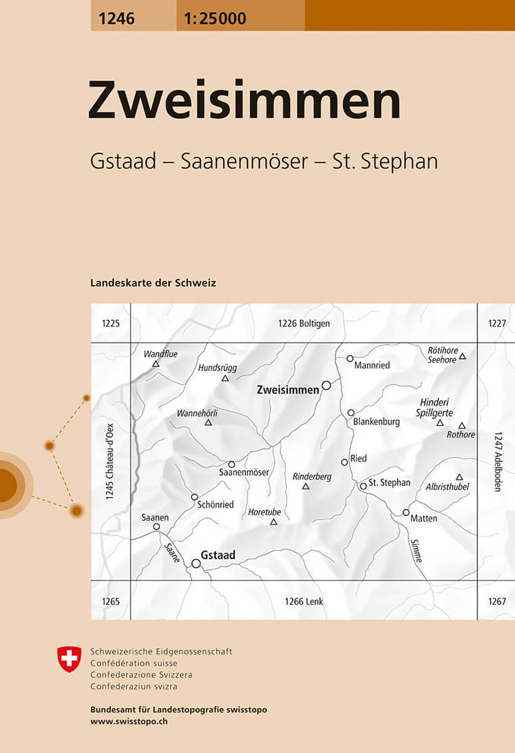
- Zweisimmen Swisstopo 1246
- Map No. 1246, Zweisimmen, in the topographic survey of Switzerland at 1:25,000 from Bundesamt für Landestopographie (swisstopo), covering the whole country on 247 small format sheets, with special larger maps published for popular regions including some titles now available in hiking versions.Highly regarded for their superb use of graphic... Read more
De Zwerver
Netherlands
Stanfords
United Kingdom
- Rossens Swisstopo 1205
- Map No. 1205, Rossens, in the topographic survey of Switzerland at 1:25,000 from Bundesamt für Landestopographie (swisstopo), covering the whole country on 247 small format sheets, with special larger maps published for popular regions including some titles now available in hiking versions.Highly regarded for their superb use of graphic relief... Read more

De Zwerver
Netherlands
- Wandelkaart 07 Valli Maira, grana e stura | IGC - Istituto Geografico Centrale
- Maira, Grana and Stura Valleys, map no. 7, in a series contoured hiking maps at 1:50,000 with local trails, long-distance footpaths, mountain accommodation, etc. from the Turin based Istituto Geografico Centrale covering the Italian Alps and Piedmont, the lakes and northern Lombardy, and the Italian Riviera.The maps have contours at 50m... Read more

Stanfords
United Kingdom
- Maira, Grana and Stura Valleys IGC 7
- Maira, Grana and Stura Valleys in a series contoured hiking maps at 1:50,000 with local trails, long-distance footpaths, mountain accommodation, etc. from the Turin based Istituto Geografico Centrale.Maps in this series have contours at 50m intervals, enhanced by shading and graphic relief. An overprint highlights local footpaths and... Read more
De Zwerver
Netherlands

Stanfords
United Kingdom
- Sustenpass Swisstopo 255
- Sustenpass, map No. 255, in the standard topographic survey of Switzerland at 1:50,000 from Swisstopo, i.e. without the special overprint highlighting walking trails, local bus stops, etc, presented in Swisstopo’s hiking editions of the 50K survey. Highly regarded for their superb use of graphic relief and hill shading, the maps give an almost... Read more
De Zwerver
Netherlands
- Wandelkaart - Topografische kaart 1244 Châtel-St-Denis | Swisstopo
- Zeer gedetailleerde wandelkaart van een deel van Zwitserland. De topografische details van deze kaarten zijn onovertroffen; de werkelijkheid is perfect weergegeven op deze kaart van uitzonderlijk hoog niveau. Ze zijn geschikt voor alle soorten gebruik: voor eenvoudige wandeltochten in simpel terrein tot zware bergtochten en beklimmingen van de... Read more

Stanfords
United Kingdom
- Châtel-St-Denis Swisstopo 1244
- Map No. 1244, Châtel-St-Denis, in the topographic survey of Switzerland at 1:25,000 from Bundesamt für Landestopographie (swisstopo), covering the whole country on 247 small format sheets, with special larger maps published for popular regions including some titles now available in hiking versions.Highly regarded for their superb use of graphic... Read more
De Zwerver
Netherlands

Stanfords
United Kingdom
- Gantrisch - Thunersee Swisstopo 5018
- Gantrisch - Thunersee area, map No. 5018, in the standard topographic survey of Switzerland at 1:50,000 from Swisstopo, i.e. without the special overprint highlighting walking trails, local bus stops, etc, presented in Swisstopo’s hiking editions of the 50K survey. Highly regarded for their superb use of graphic relief and hill shading, the... Read more
De Zwerver
Netherlands

Stanfords
United Kingdom
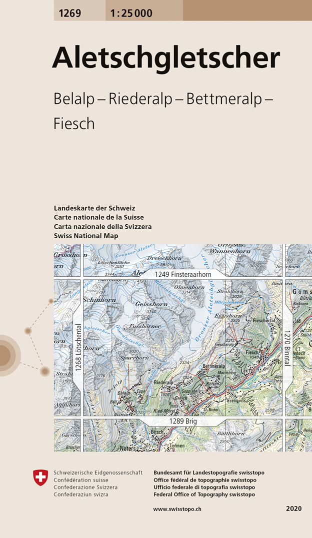
- Aletschgletscher Swisstopo 1269
- Map No. 1269, Aletschgletscher, in the topographic survey of Switzerland at 1:25,000 from Swisstopo, covering the southern part of the Aletsch Glacier, with Geisshorn and the glaciers to the west of its peak, Fiesch, Lax and, on the southern edge, Blatten and Mörel.Swiss topographic survey at 1:25,000 covers the whole country on 247 small... Read more
De Zwerver
Netherlands

Stanfords
United Kingdom
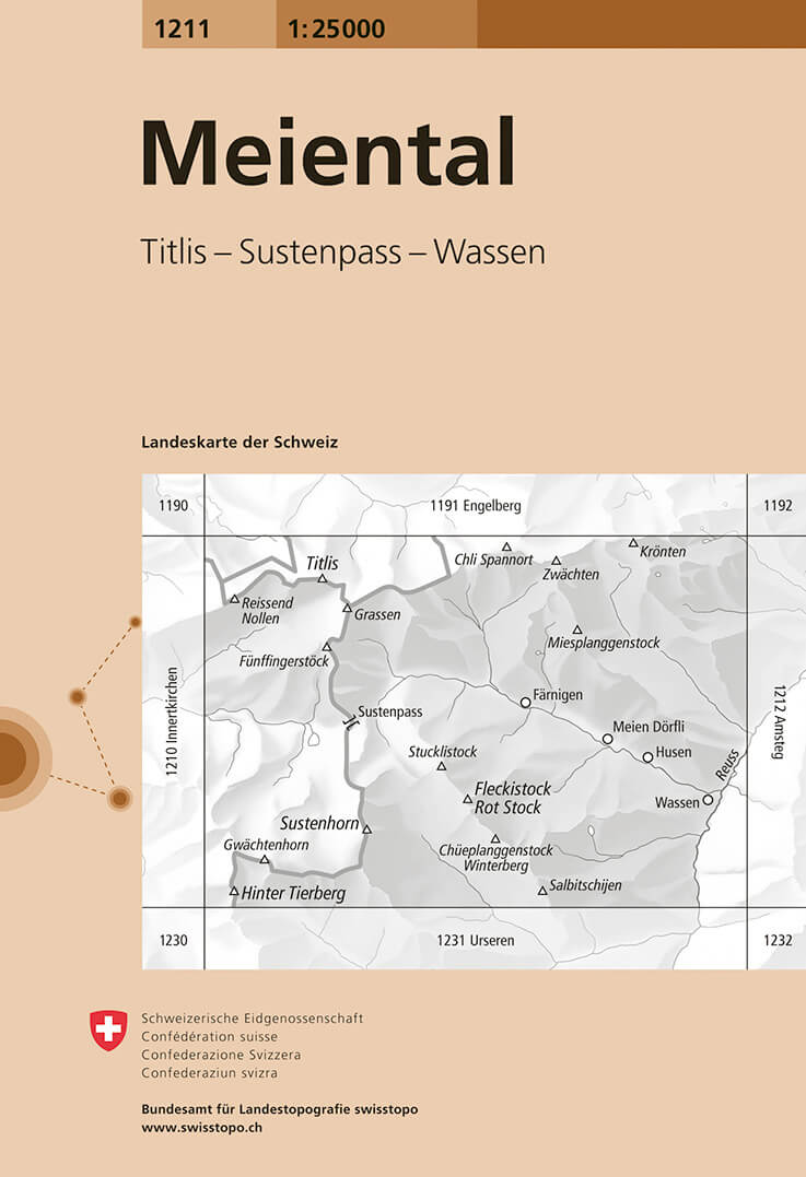
- Meiental Swisstopo 1211
- Map No. 1211, Meiental, in the topographic survey of Switzerland at 1:25,000 from Bundesamt für Landestopographie (swisstopo), covering the whole country on 247 small format sheets, with special larger maps published for popular regions including some titles now available in hiking versions.Highly regarded for their superb use of graphic relief... Read more

