
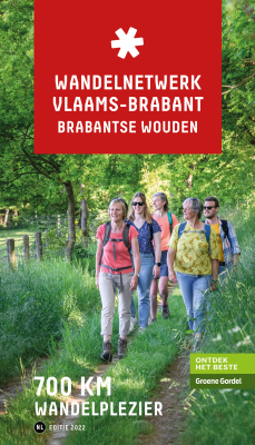
Vlaams-Brabant
Beschrijving
Province in central Belgium.
Kaart

Paden in deze landsdeel
Links
Feiten
Verslagen
Gidsen en kaarten
Overnachting
Organisaties
Reisorganisaties
GPS
Anders
Boeken

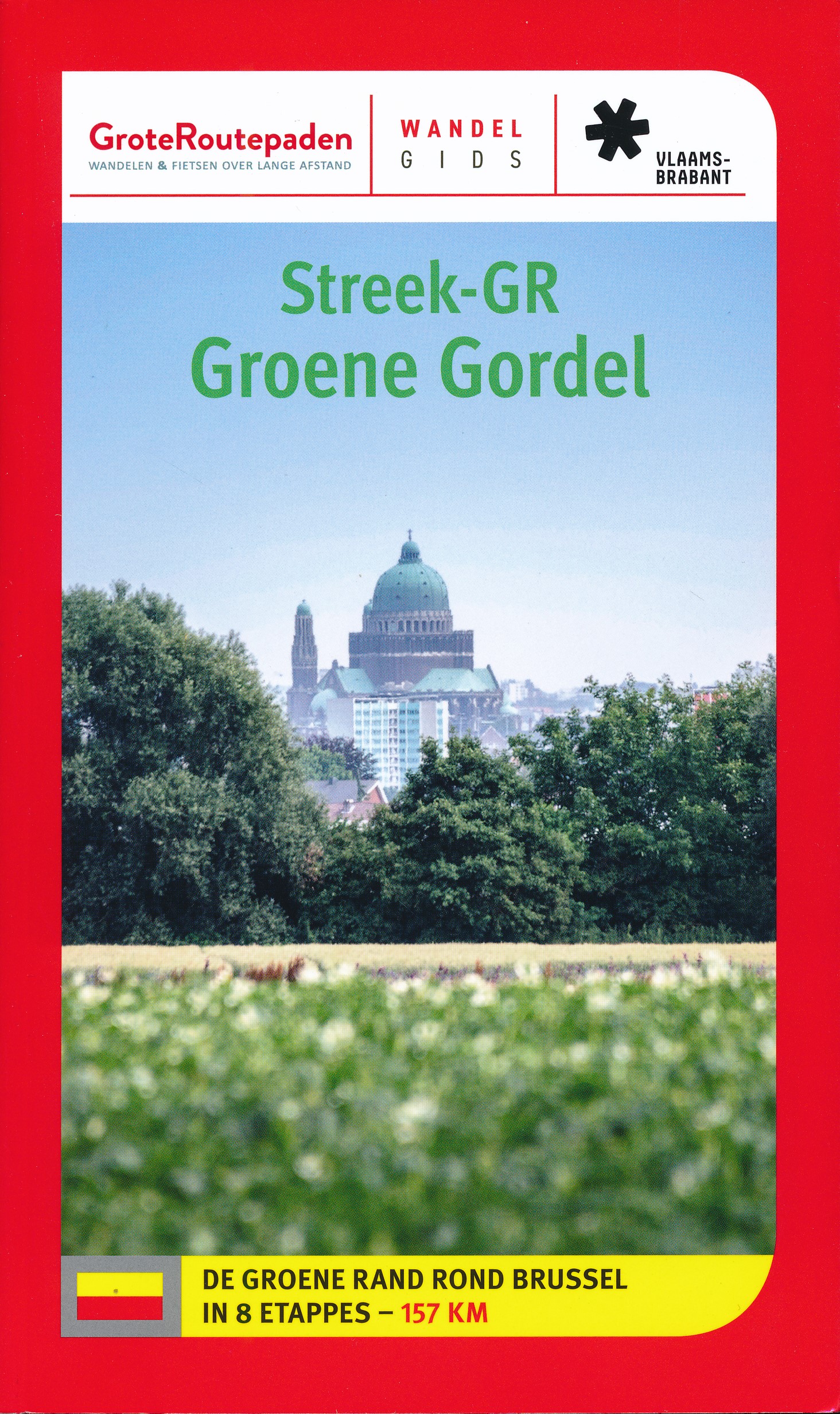
De Zwerver
Netherlands
2023
Netherlands
2023
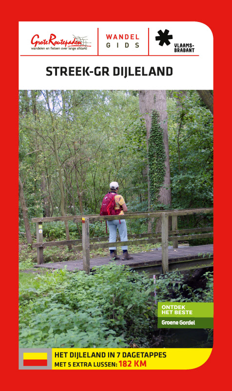
De Zwerver
Netherlands
2023
Netherlands
2023
De Zwerver
Netherlands
2004
Netherlands
2004
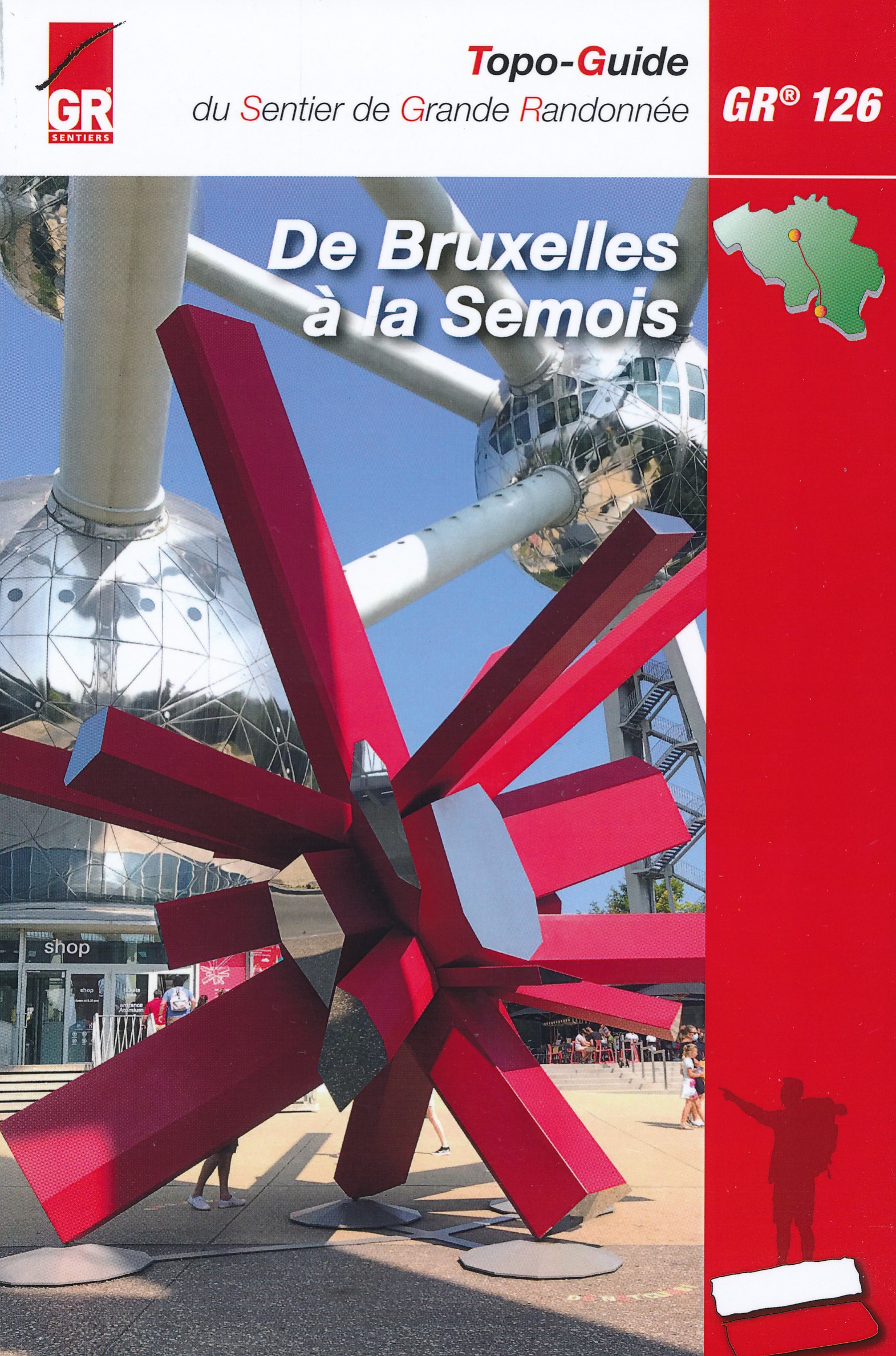
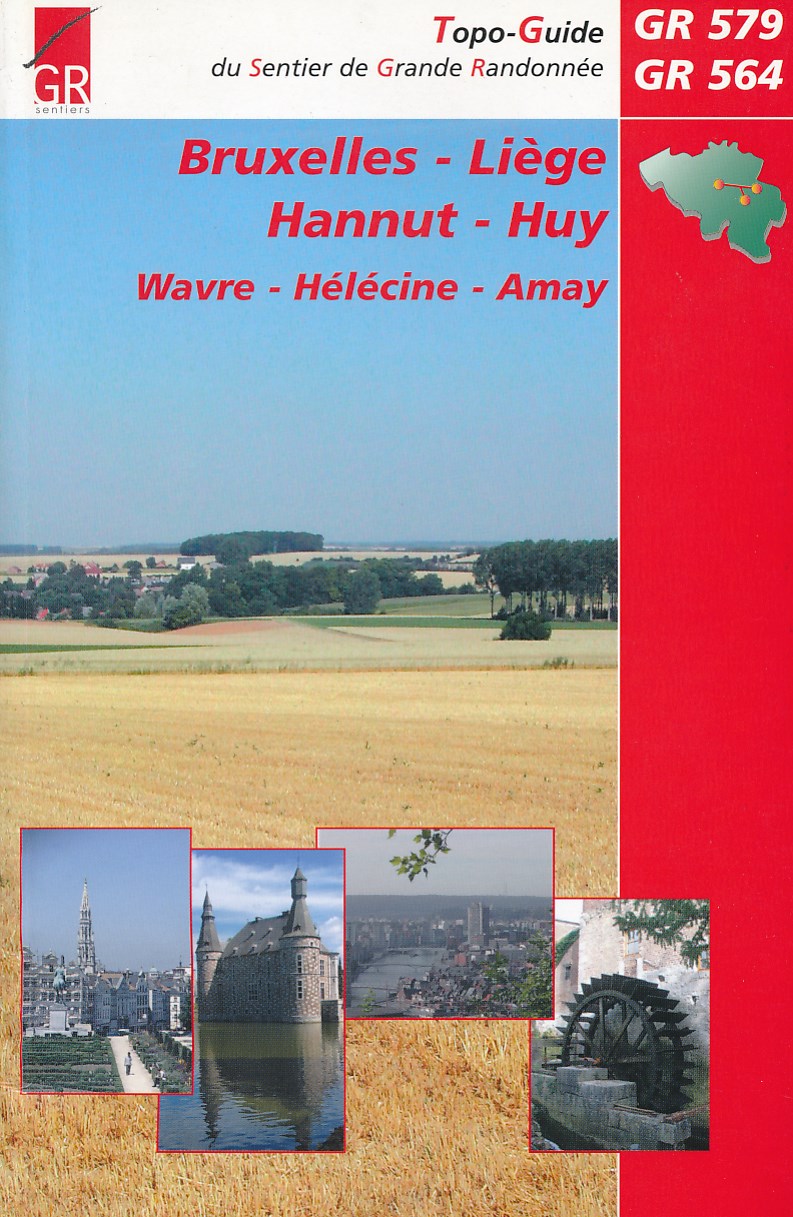
- Wandelgids Bruxelles - Liege - Hannut - Huy | GR Sentiers
- De GR 579 start bij de wandelboom achter de Sint Michielskathedraal in Brussel; op die plaats komen ook de GR 12 en de GR 126 voorbij. Van Brussel gaat het door het Terkamerenbos en Watermael-Bosvoorde naar het Zoniënwoud. Als je dat verlaat kruis je in Huldenberg de GR 512 om door een glooiend landschap naar Pécrot op Waals grondgebied te... Read more
De Zwerver
Netherlands
2015
Netherlands
2015
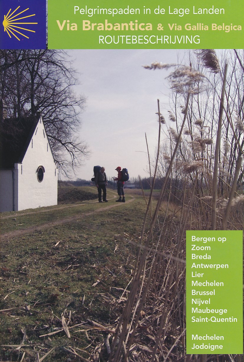
- Wandelgids - Pelgrimsroute Via Brabantica & Via Gallica Belgica | Vlaams Compostelagenootschap
- Deze beschrijving bestaat uit 2 verschillende boekjes: één voor de routebeschrijving en de andere bevat een groot aantal gedetailleerde kaarten van de route op schaal 1:50.000. De route is op deze kaarten keurig ingetekend. Let wel: deze boekjes zijn niet los verkrijgbaar, je zult de set moeten aanschaffen. Maar ook juist aan de... Read more
De Zwerver
Netherlands
2022
Netherlands
2022

De Zwerver
Netherlands
Netherlands
- Also available from:
- Stanfords, United Kingdom

Stanfords
United Kingdom
United Kingdom
- Birmingham, Wolverhampton & The Black Country OS Landranger Map 139 (paper)
- Birmingham with the surrounding area including the Black Country, Wolverhampton, Walsall, Solihull, Stourbridge, Bromsgrove and a section of the E2 European Long-distance Path on a paper version of map No. 139 from the Ordnance Survey’s Landranger series at 1:50,000, with contoured and GPS compatible topographic mapping plus tourist... Read more

De Zwerver
Netherlands
Netherlands
- Also available from:
- Stanfords, United Kingdom

Stanfords
United Kingdom
United Kingdom
- Reading & Windsor - Henley-on-Thames & Bracknell OS Landranger Map 175 (paper)
- Reading – Windsor area, including a section of the Thames Path / E2 European Long-distance Path, on a paper version of map No. 175 from the Ordnance Survey’s Landranger series at 1:50,000, with contoured and GPS compatible topographic mapping plus tourist information.MOBILE DOWNLOADS: As well as the physical edition of the map, each Landranger... Read more

De Zwerver
Netherlands
Netherlands
- Also available from:
- Stanfords, United Kingdom

Stanfords
United Kingdom
United Kingdom
- Kettering, Corby, Market Harborough & Stamford OS Landranger Map 141 (paper)
- The area around Kettering, Corby, Market Harborough and Stamford, including Rockingham Forest and part of the E2 European Long-distance Path, on a paper version of map No. 141 from the Ordnance Survey’s Landranger series at 1:50,000, with contoured and GPS compatible topographic mapping plus tourist information.MOBILE DOWNLOADS: As well as the... Read more
Bol.com
Netherlands
Netherlands
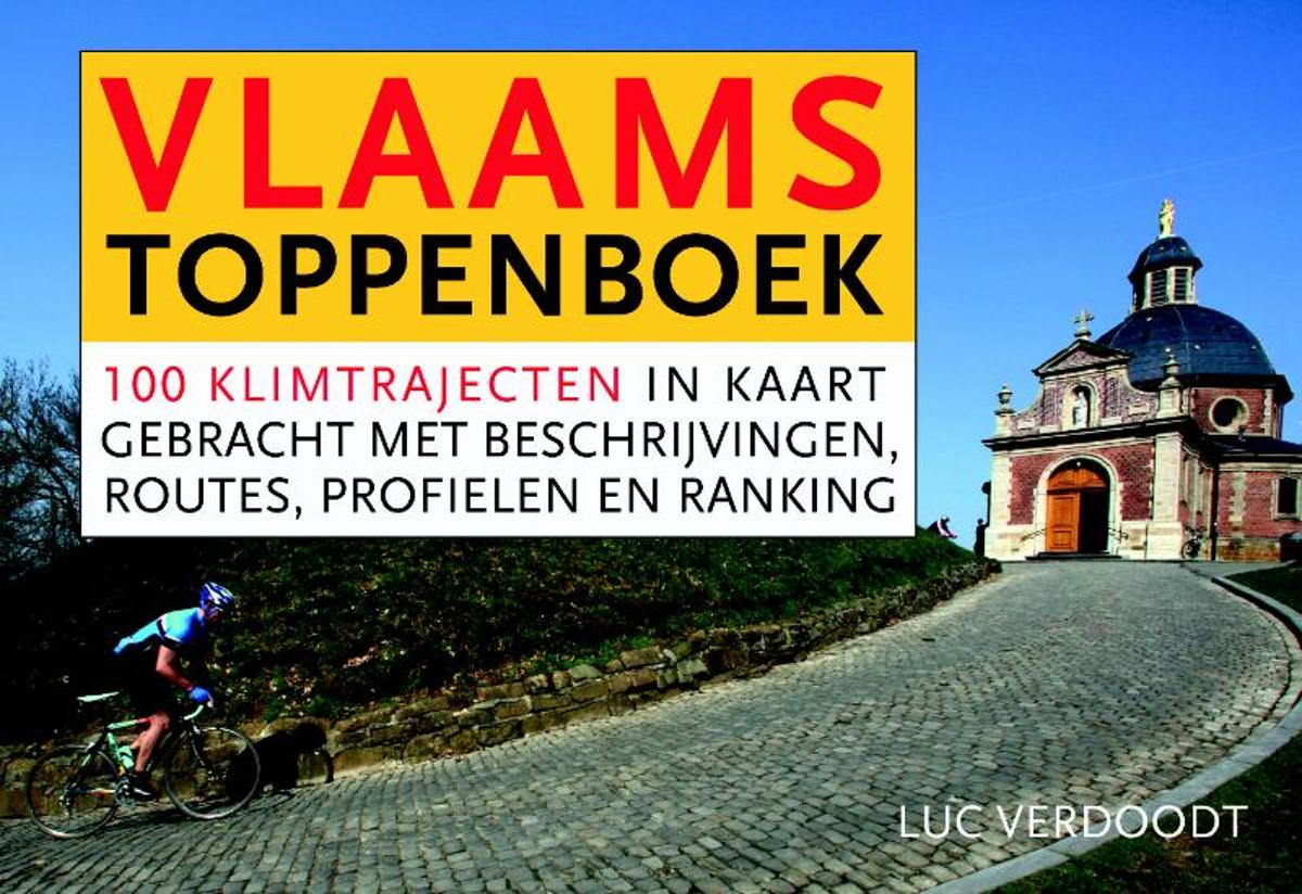
- Het Vlaams toppenboek - dwarsligger (compact formaat)
- De Vlaamse Ardennen, het Hageland, Voeren, het West-Vlaamse Heuvelland... Vlaanderen mag dan het vlakke land heten, wielerfanaten kunnen toch op behoorlijk veel plekken al dan niet op het grote verzet een 'berg' beklimmen en bedwingen.In het Vlaams Toppenboek wordt een ranking gemaakt van 100 bekende en minder bekende heuvels, hellingen, toppen... Read more
- Also available from:
- Bol.com, Belgium
Bol.com
Belgium
Belgium
- Het Vlaams toppenboek - dwarsligger (compact formaat)
- De Vlaamse Ardennen, het Hageland, Voeren, het West-Vlaamse Heuvelland... Vlaanderen mag dan het vlakke land heten, wielerfanaten kunnen toch op behoorlijk veel plekken al dan niet op het grote verzet een 'berg' beklimmen en bedwingen.In het Vlaams Toppenboek wordt een ranking gemaakt van 100 bekende en minder bekende heuvels, hellingen, toppen... Read more
Kaarten
De Zwerver
Netherlands
Netherlands
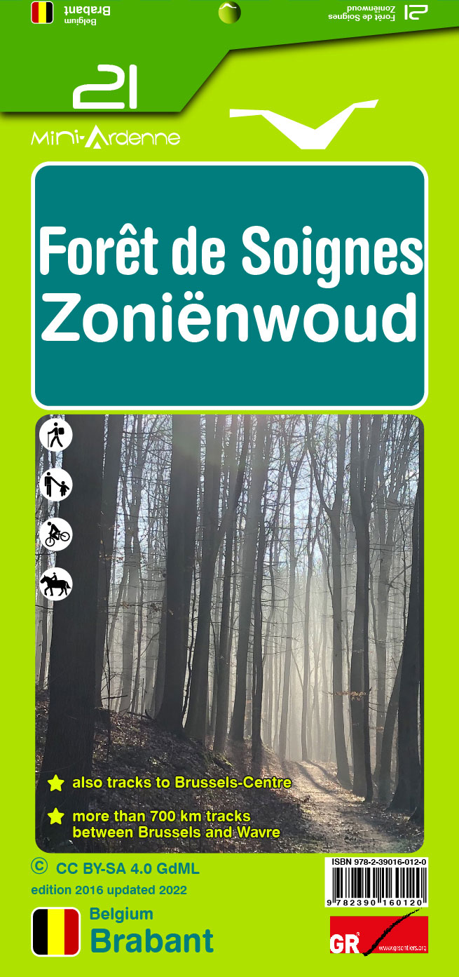
- Wandelkaart 21 Zonienwoud - Foret de Soignes | Mini-Ardenne
- Handige overzichtelijke wandelkaart op een schaal van 1:25.000 van een deel van de Ardennen of andere belangrijke wandelgebieden. In deze kaartenserie hebben de makers gekozen voor een belangrijke toeristische plaats als basis van de kaart. Naast een groot aantal ingetekende wandelroutes en paden met markering en knooppunten staan er ook... Read more
- Also available from:
- Stanfords, United Kingdom

Stanfords
United Kingdom
United Kingdom
- Sonian Forest - Zonienwoud Mini-Ardenne 21
- Ardennes Recreational Maps at a scale of 1:25,000 enable you to discover the Ardennes from junction to junction, each associated with a locality, through a network of hiking, cycling or riding paths. The network of mini walks consists of suggested routes with kilometre distance marked showing field boundaries and urbanised built up areas.... Read more
De Zwerver
Netherlands
Netherlands
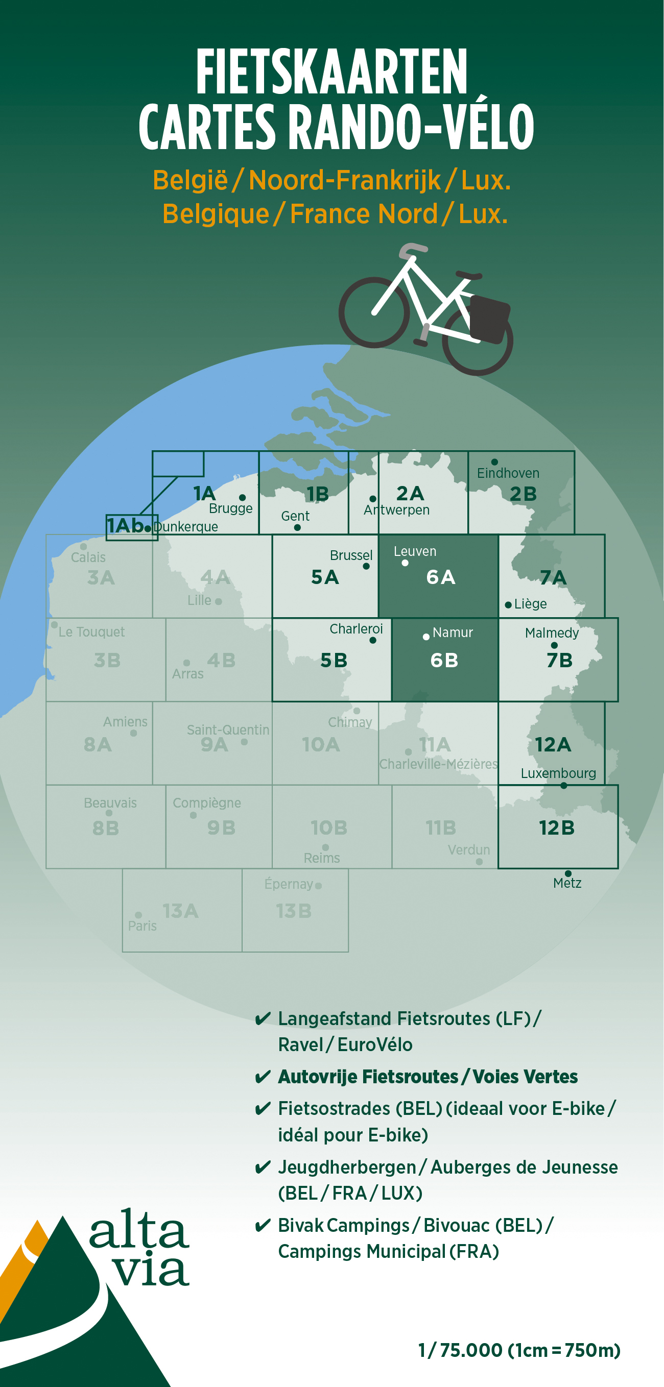
- Fietskaart 6 Brabant & Namen | Alta Via
- Alta Via`s topographical cycling maps emphasize car-free cycling routes or the so-called Voies Vertes (Green Routes), a cycling network that runs through Belgium and Luxembourg. All LF and Ravel cycle routes are included, supplemented with old railways and towpaths that have been transformed into bike paths. The map also lists all youth... Read more
- Also available from:
- Stanfords, United Kingdom

Stanfords
United Kingdom
United Kingdom
- Brabant and Namur Alta Via Cycling Map 6
- Alta Via`s topographical cycling maps emphasize car-free cycling routes or the so-called Voies Vertes (Green Routes), a cycling network that runs through Belgium and Luxembourg. All LF and Ravel cycle routes are included, supplemented with old railways and towpaths that have been transformed into bike paths. The map also lists all youth... Read more
- Also available from:
- Stanfords, United Kingdom

Stanfords
United Kingdom
United Kingdom
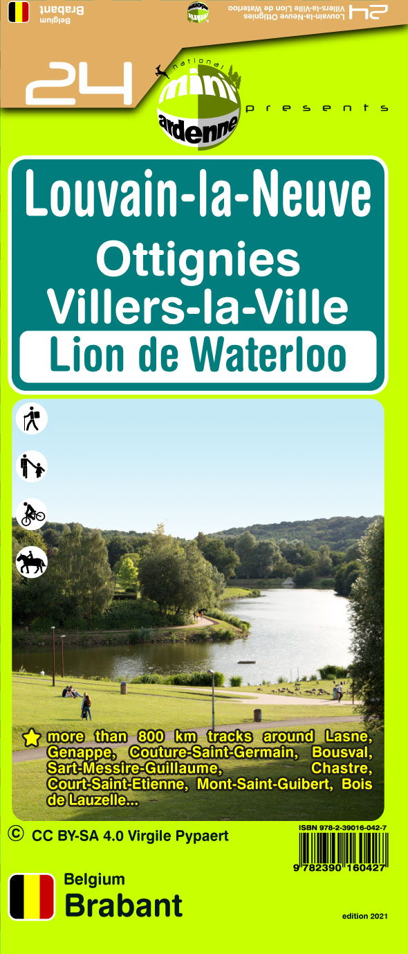
- Louvain la Neuve - Ottignies - Villers-la-Ville - Lion de Waterloo Mini-Ardenne 24
- Ardennes Recreational Maps at a scale of 1:25,000 enable you to discover the Ardennes from junction to junction, each associated with a locality, through a network of hiking, cycling or riding paths. The network of mini walks consists of suggested routes with kilometre distance marked showing field boundaries and urbanised built up areas.... Read more
De Zwerver
Netherlands
2023
Netherlands
2023

De Zwerver
Netherlands
Netherlands
- Wandelkaart WKE2 La Palma | Freytag & Berndt
- Uitstekende wandelkaart van La Palma, tweezijdig, met ingetekende routes, hoogtelijnen en andere belangrijke informatie. Ook met fietsroutes, bovendien GPS geschikt! Read more
- Also available from:
- Bol.com, Netherlands
- Bol.com, Belgium
- The Book Depository, United Kingdom

Bol.com
Netherlands
Netherlands
- FB WKE2 La Palma
- Dubbelzijdige wandel- en vrijetijdskaart • toeristische tips • stadsplattegronden • fietspaden en mountainbikeroutes • GPS-punten • ski- en langlaufroutes Read more
Bol.com
Belgium
Belgium
- FB WKE2 La Palma
- Dubbelzijdige wandel- en vrijetijdskaart • toeristische tips • stadsplattegronden • fietspaden en mountainbikeroutes • GPS-punten • ski- en langlaufroutes Read more

The Book Depository
United Kingdom
United Kingdom
- La Palma Hiking + Leisure Map 1:30 000
- Uitstekende wandelkaart van La Palma, tweezijdig, met ingetekende routes, hoogtelijnen en andere belangrijke informatie. Ook met fietsroutes, bovendien GPS geschikt! Read more

Stanfords
United Kingdom
United Kingdom
- Flemish Brabant Falkplan Cycling Map 36
- Brussels region and the eastern part of the Flemish Brabant province of Belgium at 1:50,000 in a series from Falk B.V. showing the network of signposted cycling routes on large, double-sided indexed maps with prominent highlighting of long-distance LF routes, symbols indicating accommodation and other tourist services, plus in each title two or... Read more

Stanfords
United Kingdom
United Kingdom
- Luxembourg North
- One of two topographic survey maps of Luxembourg at 1:50,000, with contours at 10-metres intervals and additional relief shading. An overprint highlights long-distance footpaths, including the GR5 (E-2), cycle routes, and various places of interest, including campsites. The map covers an area of approximately 53 x 43 km / 33 x 27 miles. Map... Read more

Stanfords
United Kingdom
United Kingdom
- Luxembourg South
- One of two topographic survey maps of Luxembourg at 1:50,000, with contours at 10-metres intervals and additional relief shading. An overprint highlights long-distance footpaths, including the GR5 (E-2), cycle routes, and various places of interest, including campsites. The map covers an area of approximately 53 x 43 km / 33 x 27 miles. Map... Read more

Stanfords
United Kingdom
United Kingdom
- Ardennes Falkplan Cycling Map 37
- Brussels region and the eastern part of the Flemish Brabant province of Belgium at 1:50,000 in a series from Falk B.V. showing the network of signposted cycling routes on large, double-sided indexed maps with prominent highlighting of long-distance LF routes, symbols indicating accommodation and other tourist services, plus in each title two or... Read more