
GR98 - Les Calanques
Beschrijving
- Name GR98 - Les Calanques (GR98)
- Lengte van pad 80 km, 50 mijl
- Lengte in dagen 5 dagen
- Start van pad Sainte-Baume
- Einde van pad La Madrague de Montredon
- Traildino graad MW, Gemiddelde wandeling, trektocht
- Huttentrektocht graad T1, Wandeling


98

Les Calanques are a series of limestone sea inlets east from Marseille. The GR92 (GR92-51) explores this small treasure along the Mediterranean. Sailing boats float in the bleu waters between the sharp white rocks, and you puzzle where exactly the sounds of rock climbers come from. The trail can be steep in places.
The GR92 as a whole, is much longer than this. The Calanques is its main asset. The hinterland is interesting too, but totally different.
Select some tracks
☐Sentier de Grande Randonnée 98, 63km
Kaart

Links
Feiten
Verslagen
Gidsen en kaarten
Overnachting
Organisaties
Reisorganisaties
GPS
Anders
Boeken


Stanfords
United Kingdom
2021
United Kingdom
2021
- Les Calanques à pied - Parc National des Calanques P132
- Les Calanques à pied, FFRP topo-guide Ref. No. P132, with 28 day walks of varying length and difficulty along the coast between Marseille and La Ciotat. Each walk is presented on a separate colour extract from IGN’s topographic survey of France at 1:25,000, with its description cross-referenced to the map. Also included in this guide is a... Read more
Kaarten
De Zwerver
Netherlands
Netherlands
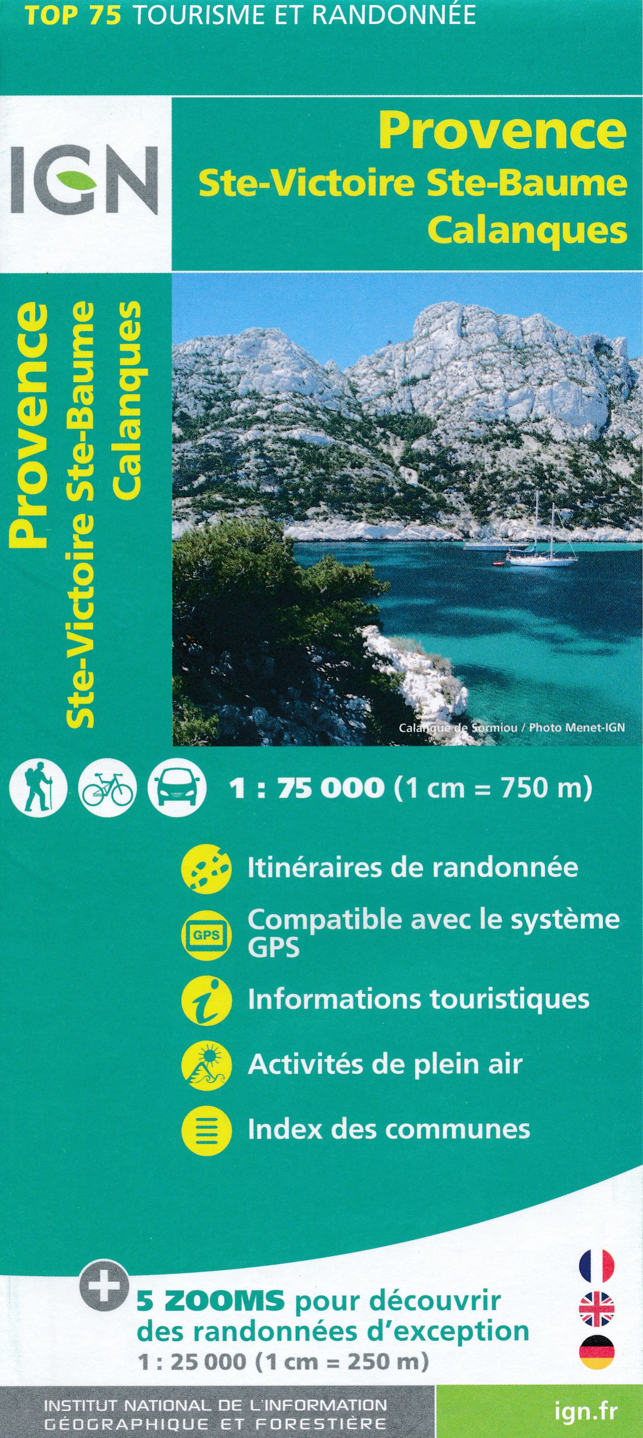
- Fietskaart - Wandelkaart 35 Ste Victoire - Ste Baume - Calanques - Provence | IGN - Institut Géographique National
- Ste-Victoire - Ste-Baume - Calanques area of Provence in a series of GPS compatible, contoured TOP 75 maps at 1:75,000 from the IGN, highlighting local and long-distance hiking paths, cycling routes and sites for other recreational activities. The map includes five large panels with IGN Read more
- Also available from:
- Stanfords, United Kingdom

Stanfords
United Kingdom
United Kingdom
- Provence - Ste-Victoire - Ste-Baume - Calanques IGN 75035
- Ste-Victoire - Ste-Baume - Calanques area of Provence in a series of GPS compatible, contoured TOP 75 maps at 1:75,000 from the IGN, highlighting local and long-distance hiking paths, cycling routes and sites for other recreational activities. The map includes five large panels with IGN’s topographic mapping at 1:25,000 and extensive overprint... Read more
De Zwerver
Netherlands
Netherlands
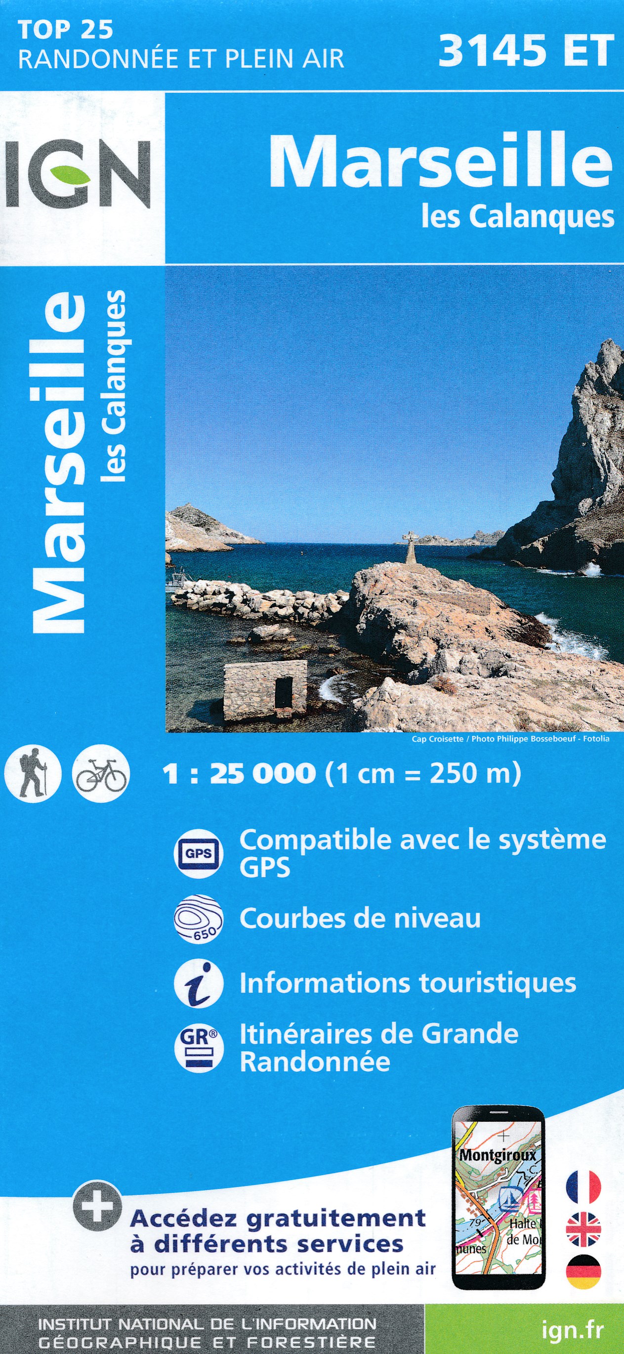
- Wandelkaart - Topografische kaart 3145ET Marseille | IGN - Institut Géographique National
- Topographic survey of France at 1:25,000 in IGN`s excellent TOP25 / Série Bleue series. All the maps are GPS compatible, with a 1km UTM grid plus latitude and longitude lines at 5’ intervals. Contours are at 5m intervals except for mountainous areas where the maps have contours at 10m intervals, vividly enhanced by hill shading and graphics for... Read more
- Also available from:
- Stanfords, United Kingdom

Stanfords
United Kingdom
United Kingdom
- Marseille - Les Calanques IGN 3145ET
- Topographic survey of France at 1:25,000 in IGN`s excellent TOP25 / Série Bleue series. All the maps are GPS compatible, with a 1km UTM grid plus latitude and longitude lines at 5’ intervals. Contours are at 5m intervals except for mountainous areas where the maps have contours at 10m intervals, vividly enhanced by hill shading and graphics for... Read more
De Zwerver
Netherlands
Netherlands
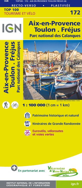
- Fietskaart - Wegenkaart - landkaart 172 Toulon - Aix en Provence - Frejus | IGN - Institut Géographique National
- Map No. 172, Toulon - Aix-en-Provence, at 1:100,000, part of the TOP100 series from the Institut Géographique National (IGN). These exceptionally detailed, contoured and GPS compatible road maps which include English language map legend are ideal for exploring the French countryside by car, by bike, or even on foot. Used by millions of locals... Read more
- Also available from:
- Stanfords, United Kingdom

Stanfords
United Kingdom
United Kingdom
- Aix-en-Provence - Toulon - Frejus - Calanques National Park IGN TOP100 172
- Discover the new double-sided laminated edition of TOP100 road maps of France from the Institut Géographique National (IGN); exceptionally detailed, contoured road maps which include the cycle paths and greenways of the AF3V (French Association for the Development of Cycle Paths and Greenways), ideal for exploring the French countryside by car,... Read more
De Zwerver
Netherlands
Netherlands
- Also available from:
- Stanfords, United Kingdom

Stanfords
United Kingdom
United Kingdom
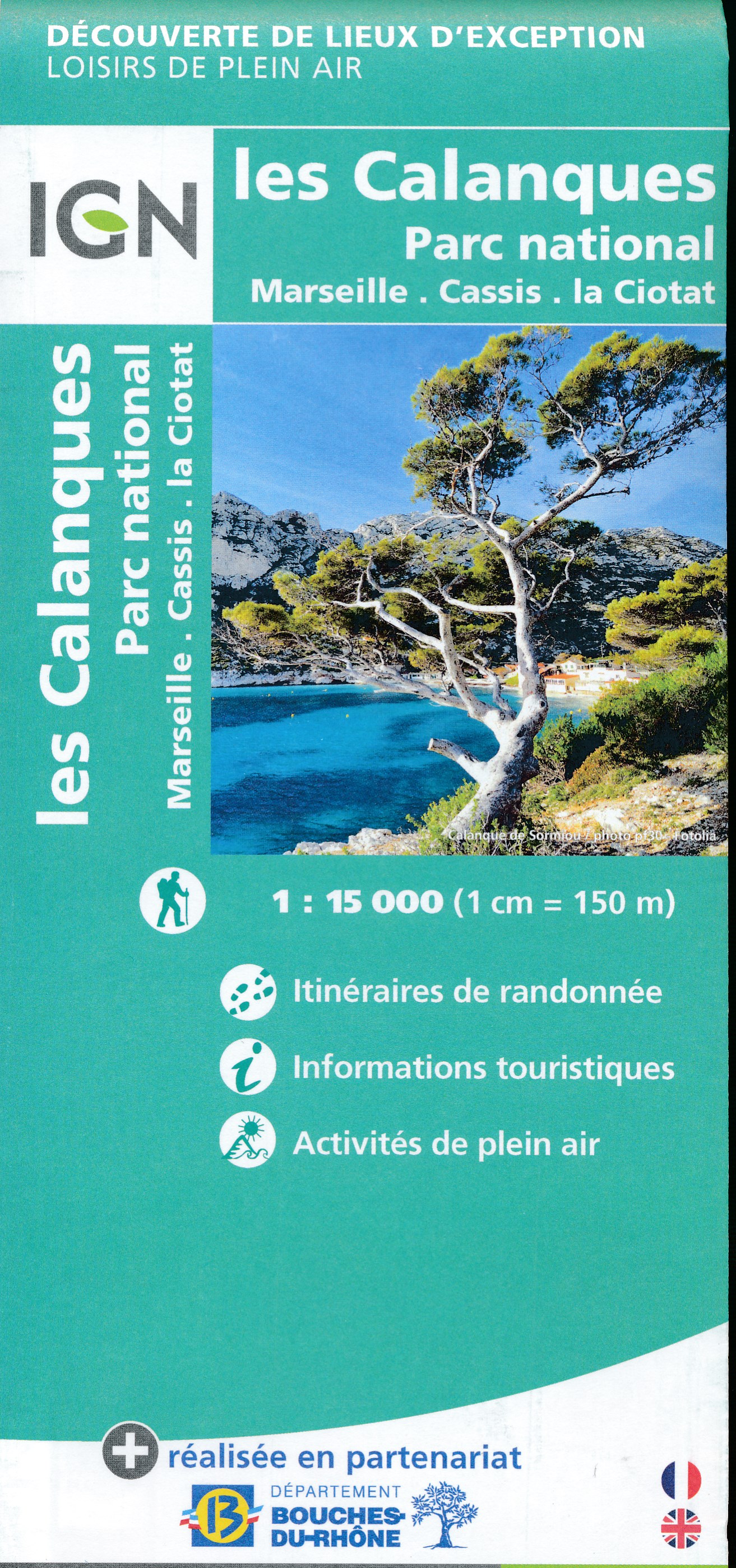
- Les Calanques de Marseille a Cassis IGN 82011
- Topographic survey of France at 1:25,000 in IGN`s excellent TOP25 / Série Bleue series. All the maps are GPS compatible, with a 1km UTM grid plus latitude and longitude lines at 5’ intervals. Contours are at 5m intervals except for mountainous areas where the maps have contours at 10m intervals, vividly enhanced by hill shading and graphics for... Read more