
Eifel
Beschrijving
Low mountain range in Germany, states of Rheinland-Pfalz and Nordrhein-Westfalen. Small parts extending into Luxembourg and Belgium.
Paden in deze regio
- Ahr-Venn-WegGPX
- AhrtalwegGPX
- E3GPX
- EifelsteigGPX
- Erft-Lieser-Mosel-Weg GPX
- GR15 - AE - Ardennes-EifelGPX
- GR5GPX
- GR56 - Hautes Fagnes - EifelGPX
- Josef-Schramm-Weg GPX
- Karl-Kaufmann-WegGPX
- KarolingerwegGPX
- KrönungswegGPX
- LieserpfadGPX
- MatthiaswegGPX
- MoselhöhenwegGPX
- MoselsteigGPX
- Rhein-Kyll-WegGPX
- Rhein-Rureifel-Weg GPX
- RheinhöhenwegGPX
- Rhine-Meuse Trail
- Rotwein WanderwegGPX
- VulkanwegGPX
- Wanderweg der Deutschen EinheitGPX
- Wildnis TrailGPX
- WillibrorduswegGPX
Links
Feiten
Verslagen
Gidsen en kaarten
Overnachting
Organisaties
Reisorganisaties
GPS
Anders
Boeken

De Zwerver
Netherlands
2009
Netherlands
2009
- Wandelgids GR 5 Mer Du Nord-Mediterrannee Noordzee - Middellandse Zee deel Ardennen (Maastricht - Diekirch ) | GR Sentiers
- LET OP: deze wandelgids van dit deel van de GR5 is alleen nog maar in het Frans leverbaar. De Nederlandstalige versie is geheel uitverkocht, niet meer te bestellen en er komt naar alle waarschijnlijkheid geen nieuwe versie in het Nederlands! Uitstekende routegids met gedetailleerde kaarten en een routebeschrijving. Fout lopen wordt op deze... Read more
De Zwerver
Netherlands
2021
Netherlands
2021
De Zwerver
Netherlands
2020
Netherlands
2020
- Wandelgids Wandergenuss Rhein/Westerwald | IdeeMedia
- 365 Kilometer Wandergenuss von Perl bis Koblenz. Smartphone-Anbindung. Aktuellste GPS-Daten Read more

De Zwerver
Netherlands
2016
Netherlands
2016
- Wandelgids Kom-Emine Bulgarije E3 | Oilaripi
- Een uitstekende wandelgids van een beroemd lange-afstands-wandelpad in Bulgarije, onderdeel van de E3 route. Goede beschrijving, mooie kaarten en praktische informatie. Onverwacht hoog nivo van de gids voor een land waar tot voor kort weinig beschikbaar was. Kom-Emine is a long distance path in Bulgaria, part of the E3 European Long Distance... Read more
De Zwerver
Netherlands
2021
Netherlands
2021
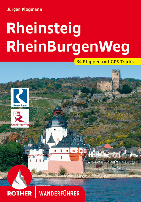
- Wandelgids Rheinsteig mit Rheinburgenweg und Rheinhöhenwegen | Rother Bergverlag
- Der romantische Mittelrhein zwischen Mainz/Wiesbaden und Bonn ist eine der spektakulärsten Landschaften Deutschlands und UNESCO-Welterbe. Neben dem Erleben der Natur trifft der Wanderer am Rhein auf viel Kultur, sehenswerte mittelalterliche Städte und die weltweit größte Burgendichte. In diesem Rother Wanderführer werden die wichtigsten... Read more

De Zwerver
Netherlands
2024
Netherlands
2024
De Zwerver
Netherlands
2020
Netherlands
2020
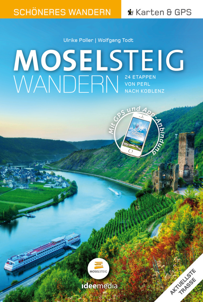
- Wandelgids Moselsteig | IdeeMedia
- 24 traumhafte Etappen auf Deutschlands jüngstem Fernwanderweg Read more
De Zwerver
Netherlands
2021
Netherlands
2021
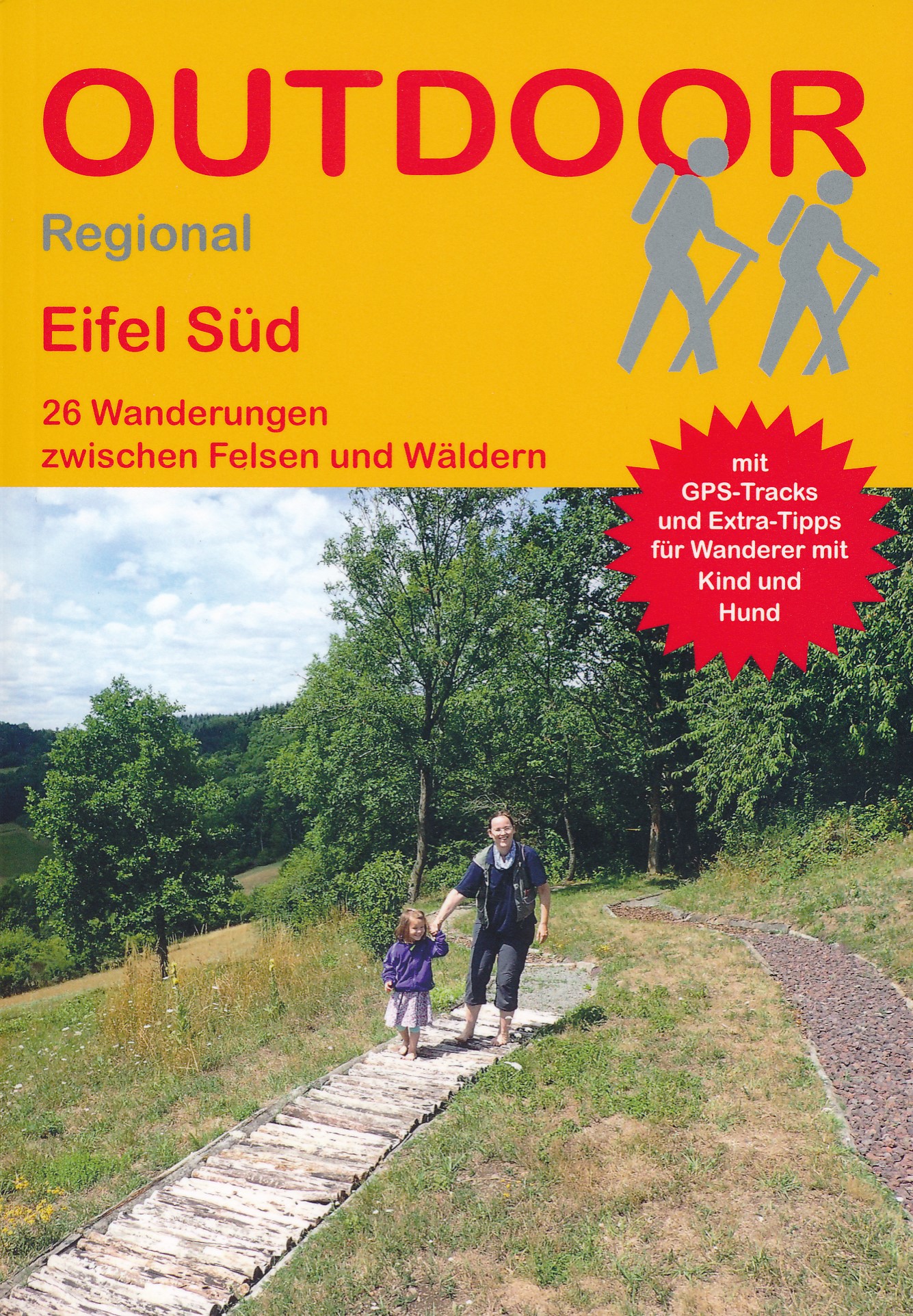
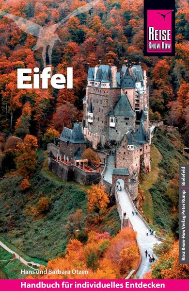
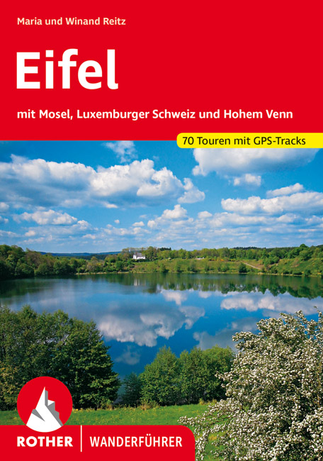
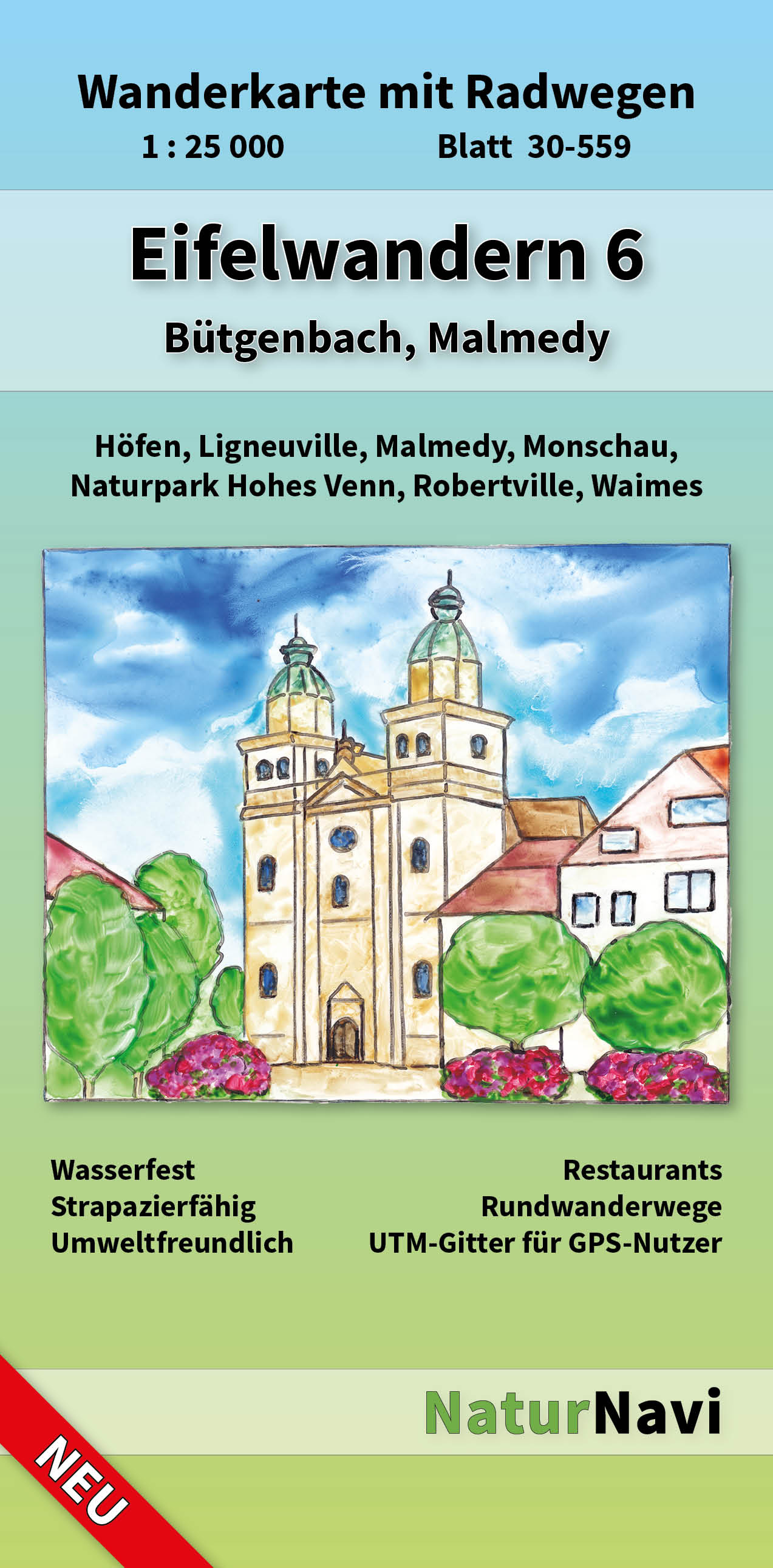
- Wandelgids Eifel | Rother Bergverlag
- Uitstekende wandelgids met een groot aantal dagtochten in dal en hooggebergte. Met praktische informatie en beperkt kaartmateriaal! Wandelingen in verschillende zwaarte weergegeven in rood/blauw/zwart. Auf Schritt und Tritt führt Sie dieser Band aus der Reihe der ROTHER WANDERFÜHRER durch ein Stück unverbrauchte Natur mitten in Deutschland.... Read more
Kaarten
De Zwerver
Netherlands
Netherlands
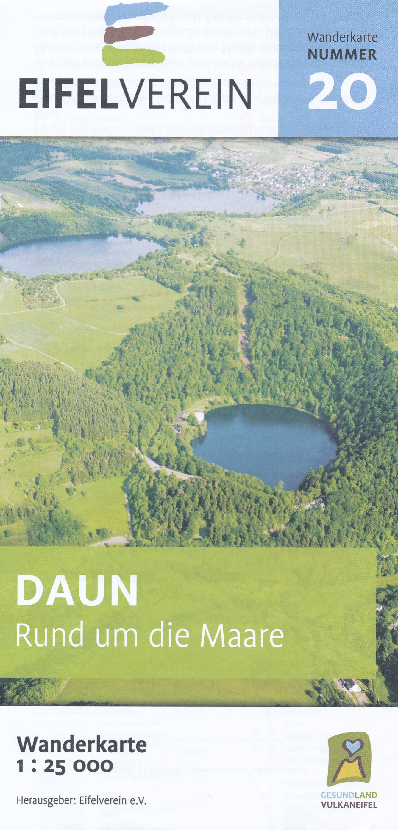
- Wandelkaart 20 Daun - Rund um die Maare | Eifelverein
- Wandelkaart van een deelgebied van de Eifel. Deze kaarten worden uitgegeven door de zeer actieve Eifelverein. Deze vereniging houdt zich onder andere bezig met de wandelroutes in het gebied: op bijna elke boom in de Eifel vind je wel een teken! De kaarten zijn nauwkeurig en gedetaileerd, met ingetekende wandelroutes maar ook symbolen voor... Read more
De Zwerver
Netherlands
2021
Netherlands
2021

De Zwerver
Netherlands
2014
Netherlands
2014
- Wandelkaart 07 Mercantour & Alpi-Maritieme | Didier Richard
- Mercantour National Park and the Maritime Alps on a large, double-sided, contoured and GPS compatible map from Editions Didier Richard highlighting local walking trails and long-distance hiking routes including the GR5. Coverage extends from well north of Col de Larch to Sospel, Levens and Roquestéron in the mountains north of the French... Read more
- Also available from:
- Stanfords, United Kingdom

Stanfords
United Kingdom
2014
United Kingdom
2014
- Mercantour & Alpi-Marittime Didier Richard 07
- Mercantour National Park and the Maritime Alps on a large, double-sided, contoured and GPS compatible map from Editions Didier Richard highlighting local walking trails and long-distance hiking routes including the GR5. Coverage extends from well north of Col de Larch to Sospel, Levens and Roquestéron in the mountains north of the French... Read more
De Zwerver
Netherlands
Netherlands
- Also available from:
- Stanfords, United Kingdom

Stanfords
United Kingdom
United Kingdom
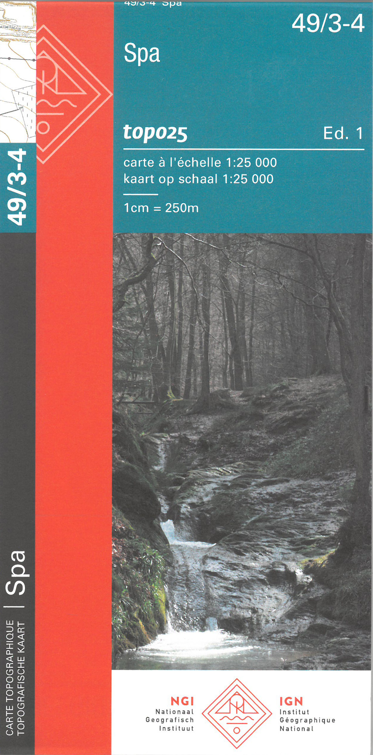
- Spa NGI Topo 49/3-4
- Topographical survey of Belgium at 1:20,000 from Nationaal Geografisch Instituut / Institut Géographique National, the country’s national survey organization. Each 20K map covers one quarter of the corresponding 1:50,000 map (with adjustments in the border and coastal areas). The maps provide all the information expected of topographic mapping... Read more

De Zwerver
Netherlands
Netherlands
- Wandelkaart - Wegenkaart - landkaart 7 Westelijke Rhodopen - Western Rhodopes | Domino
- Western Rhodope Mountains at 1:100,000 on a contoured GPS compatible map from Domino extending from just west of the Pirin National Park to Asenovgrad in the north-east. The map is double-sided with a good overlap between the sides. Topography is shown by contours at 50m intervals with relief shading and spot heights, plus colouring for... Read more
- Also available from:
- Stanfords, United Kingdom

Stanfords
United Kingdom
United Kingdom
- Western Rhodope Mountains Domino Map
- Western Rhodope Mountains at 1:100,000 on a contoured GPS compatible map from Domino extending from just west of the Pirin National Park to Asenovgrad in the north-east. The map is double-sided with a good overlap between the sides. Topography is shown by contours at 50m intervals with relief shading and spot heights, plus colouring for... Read more

De Zwerver
Netherlands
Netherlands
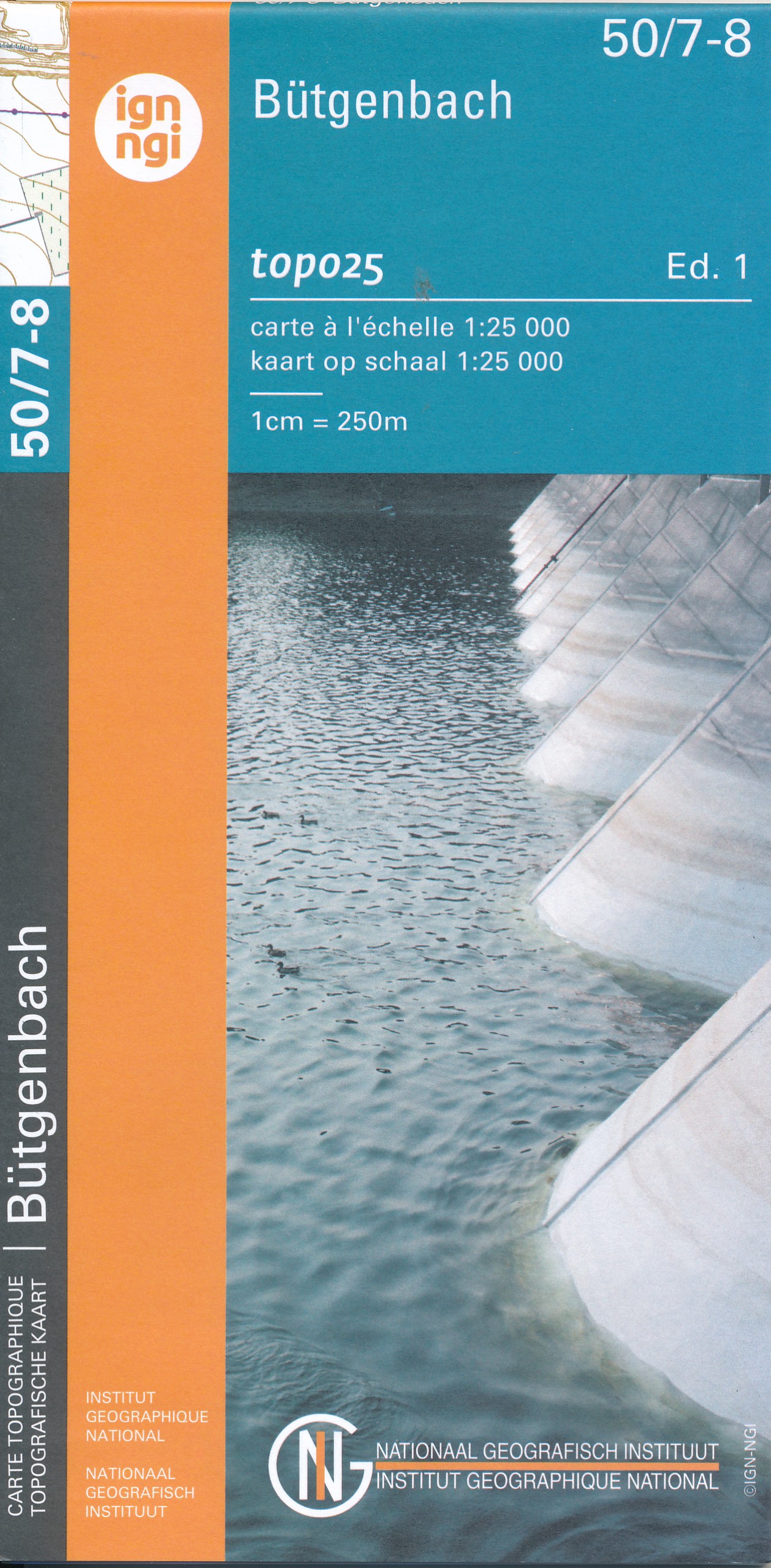
- Wandelkaart - Topografische kaart 50/7-8 Topo25 Bütgenbach - Büllingen,Bullange | NGI - Nationaal Geografisch Instituut
- Topographical survey of Belgium at 1:20,000 from Nationaal Geografisch Instituut / Institut Géographique National, the country’s national survey organization. Each 20K map covers one quarter of the corresponding 1:50,000 map (with adjustments in the border and coastal areas). The maps provide all the information expected of topographic mapping... Read more
- Also available from:
- Stanfords, United Kingdom

Stanfords
United Kingdom
United Kingdom
- Butgenbach NGI Topo 50/7-8
- Topographical survey of Belgium at 1:20,000 from Nationaal Geografisch Instituut / Institut Géographique National, the country’s national survey organization. Each 20K map covers one quarter of the corresponding 1:50,000 map (with adjustments in the border and coastal areas). The maps provide all the information expected of topographic mapping... Read more
De Zwerver
Netherlands
Netherlands
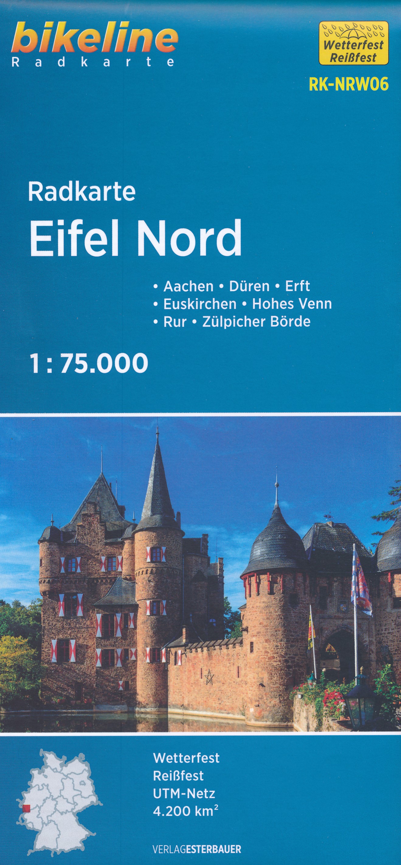
- Fietskaart NRW06 Bikeline Radkarte Eifel Nord | Esterbauer
- Bikeline Radkarte Deutschland Eifel Nord Aachen, Köln 1 : 75 000 ab 6.9 EURO Aachen - Ahr - Düren - Erft - Eupen - Hohes Venn - Rur - Zülpicher Börde. GPS-tauglich mit UTM-Netz. Bikeline Radkarte Nordrhein-Westfalen. 2. Auflage Read more
De Zwerver
Netherlands
2023
Netherlands
2023