
Rhön
Beschrijving
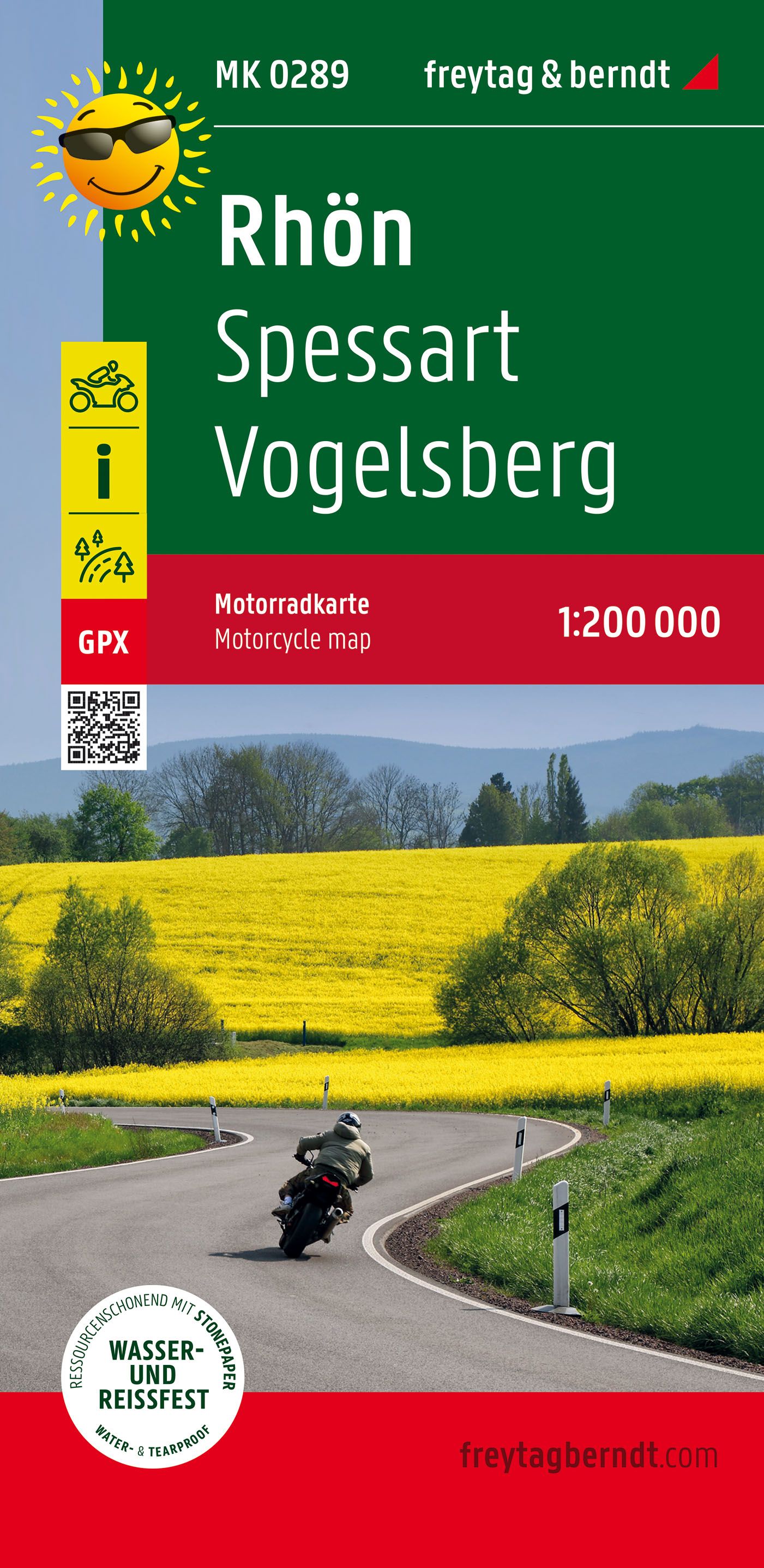
Low mountain range in Bayern, Hessen and Thüringen.
Paden in deze regio
Links
Feiten
Verslagen
Gidsen en kaarten
Overnachting
Organisaties
Reisorganisaties
GPS
Anders
Boeken
De Zwerver
Netherlands
2023
Netherlands
2023
De Zwerver
Netherlands
2011
Netherlands
2011
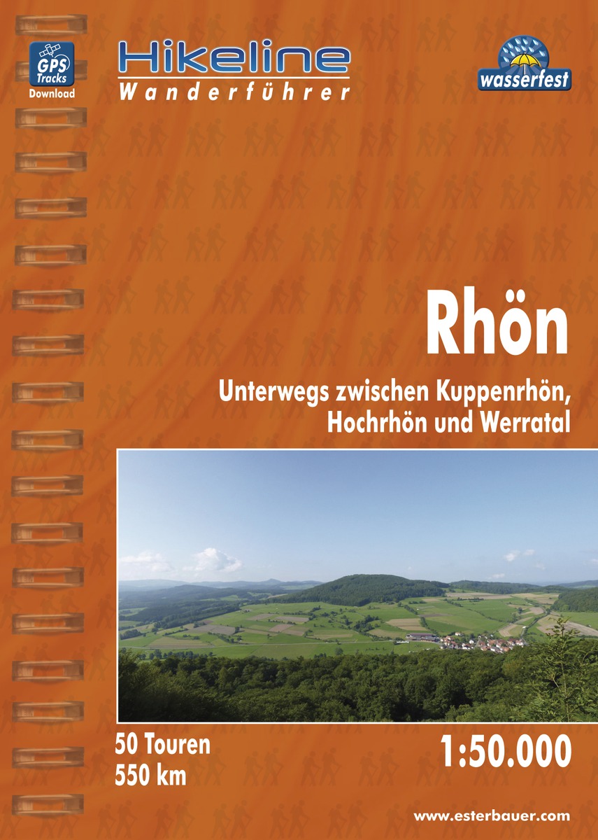
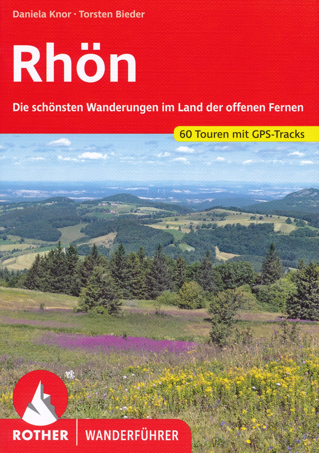
- Wandelgids Hikeline Rhön | Esterbauer
- Handzame gids met een goede beschrijving van een groot aantal dagtochten in dit gebied. De gids is in spiraalbinding en elke pagina is op scheur- en watervast papier gedrukt. Daar is echt over nagedacht! Länge, Höhenmeter Die 50 in diesem Buch beschriebenen Wandertouren sind jeweils zwischen 4 und 20 Kilometer lang, im Durchschnitt sind es... Read more
De Zwerver
Netherlands
2011
Netherlands
2011
De Zwerver
Netherlands
2012
Netherlands
2012
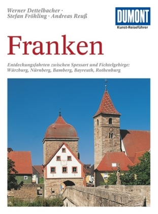
- Reisgids Kunstreiseführer Franken | Dumont
- Für Kunstliebhaber und Geschichtsinteressierte ist die Region im Norden Bayerns dank ihrer Fülle an herausragenden Sehenswürdigkeiten ein kleines Juwel. Allein die von der Bau- und Handwerkskunst vieler Jahrhunderte geprägten Städte wie Nürnberg, Bamberg, Bayreuth, Coburg, Würzburg oder Rothenburg rechtfertigen einen Besuch. Eingebettet sind... Read more

De Zwerver
Netherlands
2016
Netherlands
2016
- Wandelgids Kom-Emine Bulgarije E3 | Oilaripi
- Een uitstekende wandelgids van een beroemd lange-afstands-wandelpad in Bulgarije, onderdeel van de E3 route. Goede beschrijving, mooie kaarten en praktische informatie. Onverwacht hoog nivo van de gids voor een land waar tot voor kort weinig beschikbaar was. Kom-Emine is a long distance path in Bulgaria, part of the E3 European Long Distance... Read more
Bol.com
Netherlands
Netherlands
- Bayerische Rhön
- Die Mittelgebirgsregion im Grenzgebiet der Bundesländer Bayern, Hessen und Thüringen lockt insbesondere Naturliebhaber und Wanderer mit ihren einzigartigen Landschaften: Große Waldgebiete wechseln mit dunklen Hochmooren, klare Flüsse und einsame Hochflächen mit mächtigen Erhebungen wie dem Kreuzberg, dem heiligen Berg der Franken. Geschützt... Read more
- Also available from:
- Bol.com, Belgium
Bol.com
Belgium
Belgium
- Bayerische Rhön
- Die Mittelgebirgsregion im Grenzgebiet der Bundesländer Bayern, Hessen und Thüringen lockt insbesondere Naturliebhaber und Wanderer mit ihren einzigartigen Landschaften: Große Waldgebiete wechseln mit dunklen Hochmooren, klare Flüsse und einsame Hochflächen mit mächtigen Erhebungen wie dem Kreuzberg, dem heiligen Berg der Franken. Geschützt... Read more
Bol.com
Netherlands
Netherlands
- Daumensprung und Jakobsstab. OutdoorHandbuch
- Wie breit ist der Fluss? Wie tief ist die Schlucht? Werden wir diesen Berg noch erreichen können? Die möglichst genaue Beantwortung dieser Fragen kann unter Umständen in der freien Wildbahn lebenswichtig sein. Das Schätzen von Höhen, Tiefen, Entfernungen und Distanzen ist auch bei großer Übung und Erfahrung recht schwierig, und oft verhaut man... Read more
- Also available from:
- Bol.com, Belgium
Bol.com
Belgium
Belgium
- Daumensprung und Jakobsstab. OutdoorHandbuch
- Wie breit ist der Fluss? Wie tief ist die Schlucht? Werden wir diesen Berg noch erreichen können? Die möglichst genaue Beantwortung dieser Fragen kann unter Umständen in der freien Wildbahn lebenswichtig sein. Das Schätzen von Höhen, Tiefen, Entfernungen und Distanzen ist auch bei großer Übung und Erfahrung recht schwierig, und oft verhaut man... Read more
Bol.com
Netherlands
Netherlands
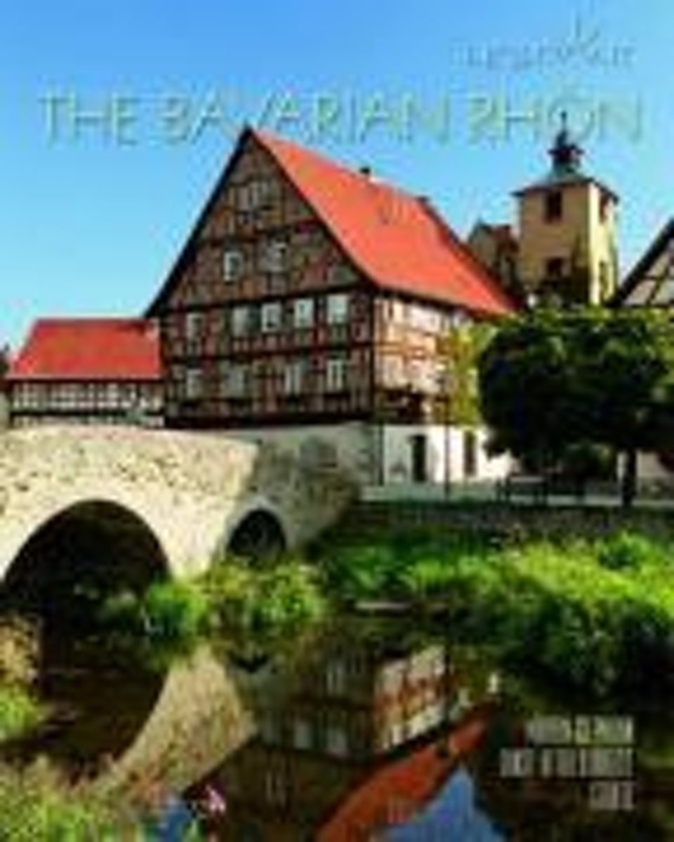
- Bavarian Rhon
- The upland region extending over the border country of the German federal states of Bavaria, Hesse, and Thuringia is showcased here for its exceptional scenery: extensive forested areas alternating with dark high moors, clear rivers, and empty plateaus with impressive mountains such as the Kreuzberg, the holy mountain of the Franconians.... Read more
- Also available from:
- Bol.com, Belgium
Bol.com
Belgium
Belgium
- Bavarian Rhon
- The upland region extending over the border country of the German federal states of Bavaria, Hesse, and Thuringia is showcased here for its exceptional scenery: extensive forested areas alternating with dark high moors, clear rivers, and empty plateaus with impressive mountains such as the Kreuzberg, the holy mountain of the Franconians.... Read more
Bol.com
Netherlands
Netherlands
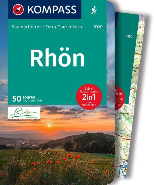
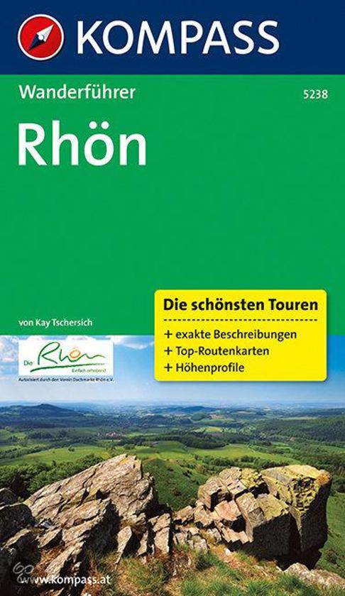
- WF5238 Rhön Kompass
- De Kompass wandelgids + kaart geeft een overzicht van alle wandelroutes in het gebied met nauwkeurige routeaanwijzingen en hoogteaanduidingen, De extra grote kaart, schaal 1:35 000, is ideaal om van te voren uw route uit te stippelen en om onderweg te gebruiken • naast de bekende bestemmingen, worden ook de minder bekende vermeld • openbaar... Read more
- Also available from:
- Bol.com, Belgium
Bol.com
Belgium
Belgium
- WF5238 Rhön Kompass
- De Kompass wandelgids + kaart geeft een overzicht van alle wandelroutes in het gebied met nauwkeurige routeaanwijzingen en hoogteaanduidingen, De extra grote kaart, schaal 1:35 000, is ideaal om van te voren uw route uit te stippelen en om onderweg te gebruiken • naast de bekende bestemmingen, worden ook de minder bekende vermeld • openbaar... Read more
- Also available from:
- Bol.com, Belgium
Bol.com
Netherlands
2020
Netherlands
2020
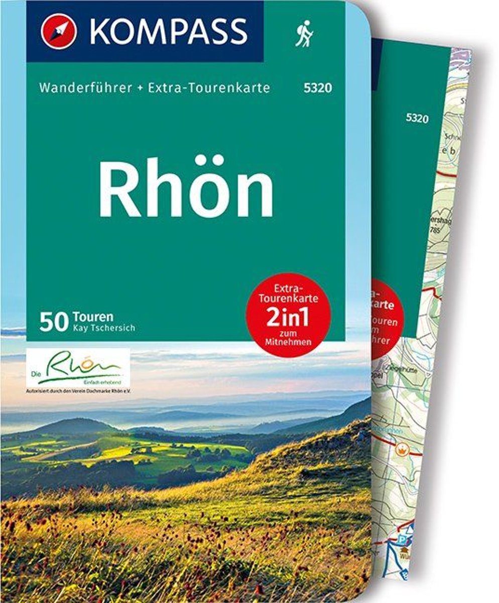
- WF5320 Rhön Kompass
- Destination:. Die Rhön ist ein faszinierend vielfältiges Mittelgebirge, das Teile der Bundesländer Bayern, Hessen und Thüringen zu einem Naturgroßraum vereint. Über die Hälfte des Gebietes ist als Biosphärenreservat ausgewiesen.. Zwischen Meiningen und Fulda gelegen, wird die Rhöner Region von den Flüssen Fulda, Fränkische Saale und Werra... Read more
- Also available from:
- Bol.com, Belgium
Bol.com
Belgium
2020
Belgium
2020
- WF5320 Rhön Kompass
- Destination:. Die Rhön ist ein faszinierend vielfältiges Mittelgebirge, das Teile der Bundesländer Bayern, Hessen und Thüringen zu einem Naturgroßraum vereint. Über die Hälfte des Gebietes ist als Biosphärenreservat ausgewiesen.. Zwischen Meiningen und Fulda gelegen, wird die Rhöner Region von den Flüssen Fulda, Fränkische Saale und Werra... Read more
Bol.com
Netherlands
2008
Netherlands
2008
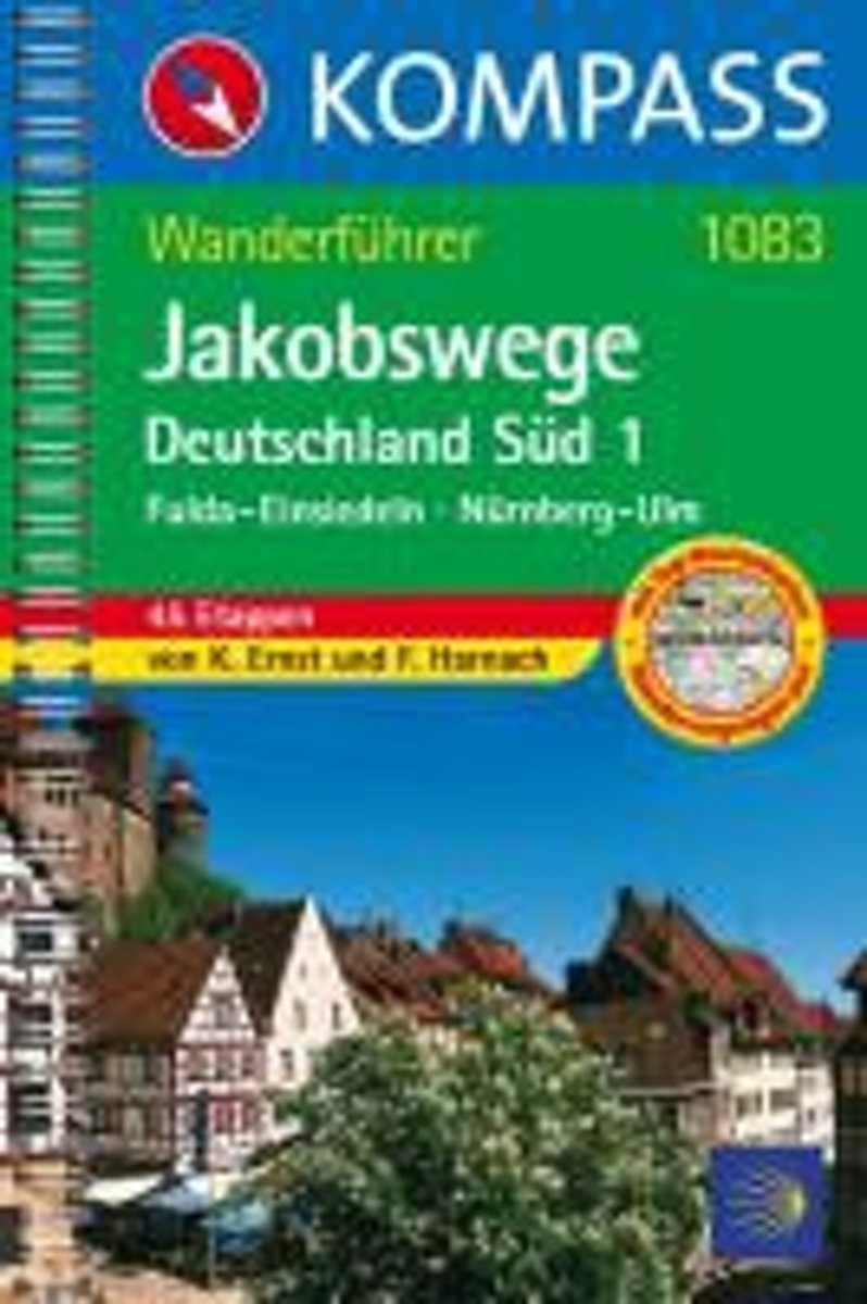
- WF1083 Jakobsweg Deutschland 1, Fulda, Einsiedeln Kompass
- Fulda-Einsiedeln, Nürnberg-Ulm; 45 EtappenDe Kompass wandelgids + kaart geeft een overzicht van alle wandelroutes in het gebied met nauwkeurige routeaanwijzingen en hoogteaanduidingen, De extra grote kaart, schaal 1:35 000, is ideaal om van te voren uw route uit te stippelen en om onderweg te gebruiken • naast de bekende bestemmingen, worden... Read more
- Also available from:
- Bol.com, Belgium
Bol.com
Belgium
2008
Belgium
2008
- WF1083 Jakobsweg Deutschland 1, Fulda, Einsiedeln Kompass
- Fulda-Einsiedeln, Nürnberg-Ulm; 45 EtappenDe Kompass wandelgids + kaart geeft een overzicht van alle wandelroutes in het gebied met nauwkeurige routeaanwijzingen en hoogteaanduidingen, De extra grote kaart, schaal 1:35 000, is ideaal om van te voren uw route uit te stippelen en om onderweg te gebruiken • naast de bekende bestemmingen, worden... Read more
Kaarten

De Zwerver
Netherlands
Netherlands
- Wandelkaart 6 Pirin gebergte | Domino
- Pirin Mountains at 1:50,000 on a large, double-sided, contoured map with GPS waypoints for shelters and chalets, peaks, etc. and highlighting hiking routes. Topography is shown by contours at 40m intervals with additional relief shading and graphics and colouring for sandstone stacks, single rocks over 5m high, marshlands and different types of... Read more
- Also available from:
- Stanfords, United Kingdom

Stanfords
United Kingdom
United Kingdom
- Pirin Mountains Domino
- Pirin Mountains at 1:50,000 on a large, double-sided, contoured map with GPS waypoints for shelters and chalets, peaks, etc. and highlighting hiking routes. Topography is shown by contours at 40m intervals with additional relief shading and graphics and colouring for sandstone stacks, single rocks over 5m high, marshlands and different types of... Read more

De Zwerver
Netherlands
Netherlands
- Wandelkaart Strandzha - Bulgarije | Domino
- Strandzha Mountains in the south-eastern corner of Bulgaria between Burgas to the Turkish border on a contoured and GPS compatible map from Domino showing local hiking trails and highlighting various interesting sites, with three more detailed enlargements at 1:25,000. Most place names are in both Latin and Cyrillic alphabet; map legend... Read more
- Also available from:
- Stanfords, United Kingdom

Stanfords
United Kingdom
United Kingdom
- Strandzha Mountains: Burgas to the Turkish Border Domino Map
- Strandzha Mountains in the south-eastern corner of Bulgaria between Burgas to the Turkish border on a contoured and GPS compatible map from Domino showing local hiking trails and highlighting various interesting sites, with three more detailed enlargements at 1:25,000. Most place names are in both Latin and Cyrillic alphabet; map legend... Read more
De Zwerver
Netherlands
Netherlands
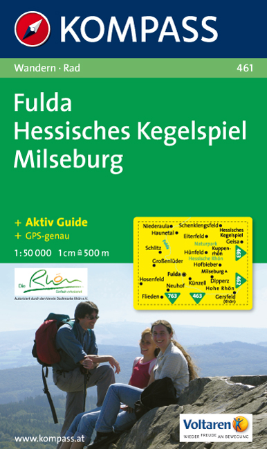
- Wandelkaart 461 Fulda - Hessisches Kegelspiel - Milseburg | Kompass
- Goede wandelkaart met vrijwel alle topografische details en ingetekende routes. Ook met symbolen voor toeristische bezienswaardigheden, register. Berghutten duidelijk weergegeven. Gevaarlijke wandelroutes zijn goed herkenbaar. GPS toepasbaar. Inclusief een Duitstalig boekje met informatie en routesuggesties. Eine heiße Sache: Eine Reihe... Read more

De Zwerver
Netherlands
Netherlands
- Wandelkaart - Wegenkaart - landkaart 7 Westelijke Rhodopen - Western Rhodopes | Domino
- Western Rhodope Mountains at 1:100,000 on a contoured GPS compatible map from Domino extending from just west of the Pirin National Park to Asenovgrad in the north-east. The map is double-sided with a good overlap between the sides. Topography is shown by contours at 50m intervals with relief shading and spot heights, plus colouring for... Read more
- Also available from:
- Stanfords, United Kingdom

Stanfords
United Kingdom
United Kingdom
- Western Rhodope Mountains Domino Map
- Western Rhodope Mountains at 1:100,000 on a contoured GPS compatible map from Domino extending from just west of the Pirin National Park to Asenovgrad in the north-east. The map is double-sided with a good overlap between the sides. Topography is shown by contours at 50m intervals with relief shading and spot heights, plus colouring for... Read more

De Zwerver
Netherlands
Netherlands
- Wandelkaart Sredna Gora - Bulgarije | Domino
- Pirin Mountains at 1:50,000 on a large, double-sided, contoured map with GPS waypoints for shelters and chalets, peaks, etc. and highlighting hiking routes. Topography is shown by contours at 40m intervals with additional relief shading and graphics and colouring for sandstone stacks, single rocks over 5m high, marshlands and different types of... Read more

De Zwerver
Netherlands
Netherlands
- Wandelkaart 1 Stara Planina gebergte | Domino
- Stara Planina Central: Zlatitsa to Kalofer map at 1:50,000 from Bulgarian publishers Domino, contoured and GPS compatible, with hiking trails, accommodation options including a list of local mountain refuges, etc. The map is double-sided and covers the mountains from just west of Ribaritsa and Zlatitsa eastwards beyond Kalofer to the peak of... Read more
- Also available from:
- Stanfords, United Kingdom

Stanfords
United Kingdom
United Kingdom
- Stara Planina Central: Zlatitsa to Kalofer Domino Map
- Stara Planina Central: Zlatitsa to Kalofer map at 1:50,000 from Bulgarian publishers Domino, contoured and GPS compatible, with hiking trails, accommodation options including a list of local mountain refuges, etc. The map is double-sided and covers the mountains from just west of Ribaritsa and Zlatitsa eastwards beyond Kalofer to the peak of... Read more
De Zwerver
Netherlands
2021
Netherlands
2021

De Zwerver
Netherlands
Netherlands
- Wandelkaart 2 Stara Planina gebergte | Domino
- Stara Planina Central: Uzana to Vratnik map at 1:50,000 from Bulgarian publishers Domino, contoured and GPS compatible, with hiking trails, accommodation options including a list of local mountain refuges, etc. The map is double-sided and covers the mountains from just west of the Uzana massif, the geographical centre of Bulgaria, eastwards to... Read more
- Also available from:
- Stanfords, United Kingdom

Stanfords
United Kingdom
United Kingdom
- Stara Planina Central: Uzana to Vratnik Domino Map
- Stara Planina Central: Uzana to Vratnik map at 1:50,000 from Bulgarian publishers Domino, contoured and GPS compatible, with hiking trails, accommodation options including a list of local mountain refuges, etc. The map is double-sided and covers the mountains from just west of the Uzana massif, the geographical centre of Bulgaria, eastwards to... Read more

- Also available from:
- Stanfords, United Kingdom

Stanfords
United Kingdom
2021
United Kingdom
2021
- Rhon Scenic Routes Cycling Map
- Rhon on a waterproof, tear-resistant, GPS compatible cycling map at 1:75,000 from the ADFC (Allgemeiner Deutscher Fahrrad-Club - the official German cycling federation), in a series of maps with extensive overprint for long-distance and local cycling routes. GPS waypoints, route profiles, details of online links for information about... Read more

De Zwerver
Netherlands
Netherlands
- Wandelkaart 3 Stara Planina gebergte | Domino
- Stara Planina Western: Belogradchik to Berkovita map at 1:50,000 from Bulgarian publishers Domino, contoured and GPS compatible, with hiking trails, accommodation options including a list of local mountain refuges, etc. The map is double-sided and covers the mountains from the peak of Byala Voda near Belogradchik eastwards to just beyond... Read more
- Also available from:
- Stanfords, United Kingdom

Stanfords
United Kingdom
United Kingdom
- Stara Planina Western: Belogradchik to Berkovita Domino Map
- Stara Planina Western: Belogradchik to Berkovita map at 1:50,000 from Bulgarian publishers Domino, contoured and GPS compatible, with hiking trails, accommodation options including a list of local mountain refuges, etc. The map is double-sided and covers the mountains from the peak of Byala Voda near Belogradchik eastwards to just beyond... Read more

De Zwerver
Netherlands
Netherlands
- Wandelkaart 4 Stara Planina gebergte | Domino
- Stara Planina Western: Berkovita to Zlatitsa map at 1:50,000 from Bulgarian publishers Domino, contoured and GPS compatible, with hiking trails, accommodation options including a list of local mountain refuges, etc. The map is double-sided and covers the mountains from Varshets (directly north of Sofia) to just beyond Etrepole.Maps in the... Read more
- Also available from:
- Stanfords, United Kingdom

Stanfords
United Kingdom
United Kingdom
- Stara Planina Western: Berkovita to Zlatitsa Domino Map
- Stara Planina Western: Berkovita to Zlatitsa map at 1:50,000 from Bulgarian publishers Domino, contoured and GPS compatible, with hiking trails, accommodation options including a list of local mountain refuges, etc. The map is double-sided and covers the mountains from Varshets (directly north of Sofia) to just beyond Etrepole.Maps in the... Read more

De Zwerver
Netherlands
2023
Netherlands
2023

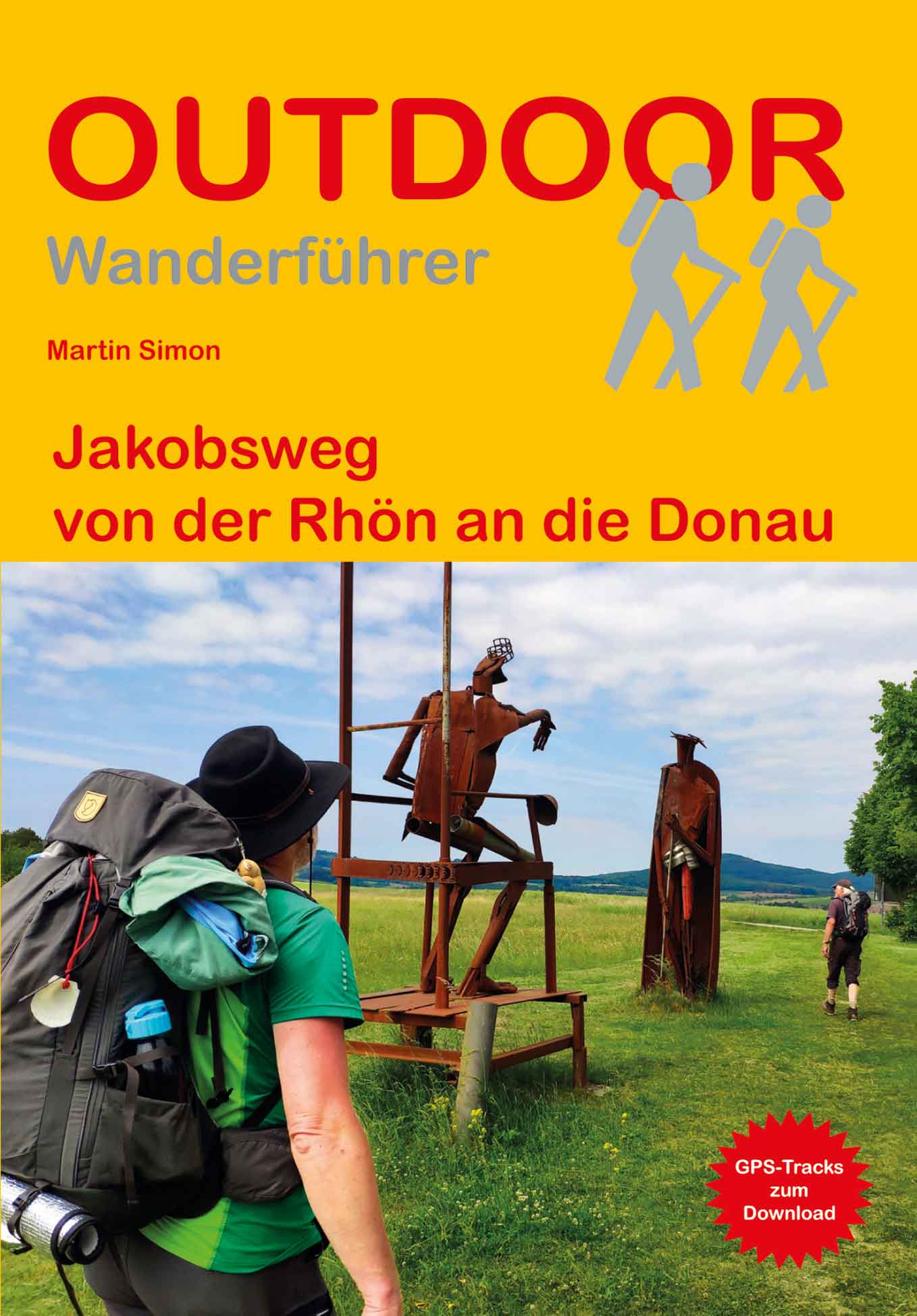
De Zwerver
Netherlands
Netherlands
- Wandelkaart 5 Rila gebergte | Domino
- Rila Mountains at 1:50,000 on a large, double-sided, contoured map with GPS waypoints for shelters and chalets, peaks, etc. and highlighting hiking routes. Topography is shown by contours at 50m intervals with additional relief shading and graphics and colouring for scree, single rocks over 5m high, marshlands and pine scrub and forests. An... Read more
- Also available from:
- Stanfords, United Kingdom

Stanfords
United Kingdom
United Kingdom
- Rila Mountains Domino
- Rila Mountains at 1:50,000 on a large, double-sided, contoured map with GPS waypoints for shelters and chalets, peaks, etc. and highlighting hiking routes. Topography is shown by contours at 50m intervals with additional relief shading and graphics and colouring for scree, single rocks over 5m high, marshlands and pine scrub and forests. An... Read more