Nordrhein-Westfalen
Beschrijving
Paden in deze landsdeel
- Ahr-Venn-WegGPX
- AhrtalwegGPX
- Bückebergweg
- BurgensteigGPX
- Christine Kochweg GPX
- E1GPX
- E11GPX
- E8GPX
- Eder HöhenwegGPX
- EggewegGPX
- EhmsenwegGPX
- EifelsteigGPX
- ElisabethpfadGPX
- EmmerwegGPX
- Ems-Hase-Hunte-ElsewegGPX
- EmswegGPX
- Erft-Lieser-Mosel-Weg GPX
- GR15 - AE - Ardennes-EifelGPX
- Graf EngelbertwegGPX
- HansawegGPX
- HermannshöhenGPX
- HermannswegGPX
- Hessenweg 2GPX
- Hessenweg 4GPX
- Hessenweg 6GPX
- Jacobspad LimburgGPX
- Josef-Schramm-Weg GPX
- Kaiser OttowegGPX
- Karl-Kaufmann-WegGPX
- KarolingerwegGPX
- KölnpfadGPX
- KrönungswegGPX
- LahnhöhenwegGPX
- LönspfadGPX
- Maas-NiederrheinpadGPX
- MarskramerpadGPX
- MatthiaswegGPX
- MühlensteigGPX
- MühlenwegGPX
- Medebacher BergwegGPX
- MoselhöhenwegGPX
- MoselsteigGPX
- Natursteig SiegGPX
- NiederrheinwegGPX
- NoaberpadGPX
- Oude IJssel-Rijnpad
- PlackwegGPX
- Römerkanal WanderwegGPX
- RennwegGPX
- Rhein-Kyll-WegGPX
- Rhein-Rureifel-Weg GPX
- RheinhöhenwegGPX
- RheinsteigGPX
- RothaarsteigGPX
- RothaarwegGPX
- Ruhr HöhenwegGPX
- RunenwegGPX
- Sauerland WaldrouteGPX
- Siegerland HöhenringGPX
- Sintfeld HöhenwegGPX
- TalsperrenwegGPX
- TöddenwegGPX
- VulkanwegGPX
- Wanderweg der Deutschen EinheitGPX
- WeserberglandwegGPX
- WesergebirgswegGPX
- Westfalen WanderwegGPX
- Wildnis TrailGPX
- WillibrorduswegGPX
- Winterberger HochtourGPX
- WupperwegGPX
Links
Feiten
Verslagen
Gidsen en kaarten
Overnachting
Organisaties
Reisorganisaties
GPS
Anders
Boeken
De Zwerver
Netherlands
2024
Netherlands
2024
De Zwerver
Netherlands
2020
Netherlands
2020
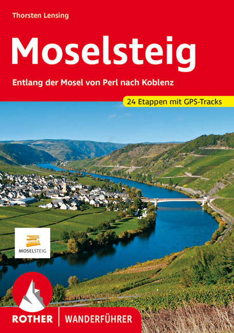
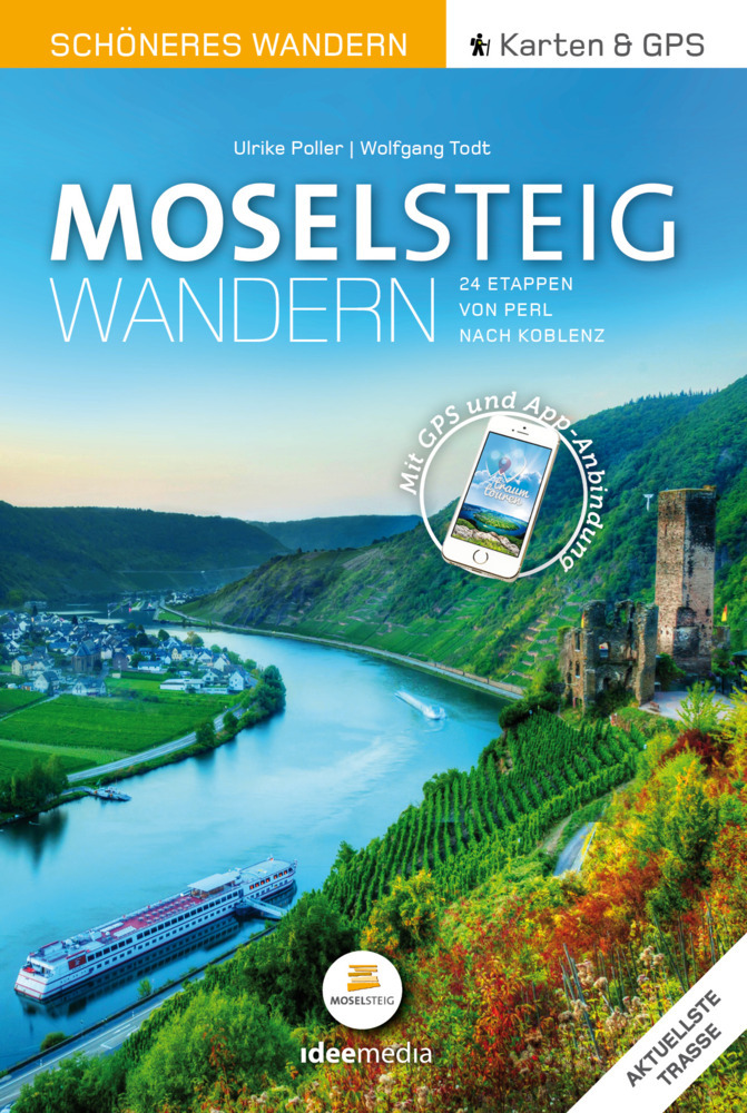
- Wandelgids Moselsteig | IdeeMedia
- 24 traumhafte Etappen auf Deutschlands jüngstem Fernwanderweg Read more
De Zwerver
Netherlands
2015
Netherlands
2015
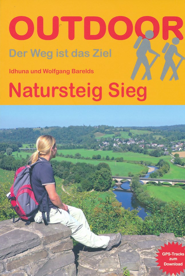
- Wandelgids Natursteig Sieg | Conrad Stein Verlag
- Handzaam boekje met de routebeschrijving inclusief een heleboel praktische informatie. De beschrijving is uitstekend, maar kaarten zijn beperkt en schetsmatig aanwezig. Duits. Der Natursteig Sieg wurde im April 2011 als viel gelobter Fernwanderweg in Deutschland eröffnet. Auf fast 200 km Länge führt er entlang der Sieg von Siegburg nahe der... Read more
De Zwerver
Netherlands
2021
Netherlands
2021
De Zwerver
Netherlands
2013
Netherlands
2013
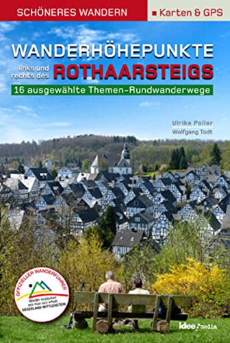
- Wandelgids Wanderhöhepunkte rechts und links des Rothaarsteigs | IdeeMedia
- 12 traumhafte neue Rundtouren im Siegerland. Neuerscheinung. Read more

De Zwerver
Netherlands
2017
Netherlands
2017
- Wandelgids 411 Kautokeino - Nordkap E1 | Conrad Stein Verlag
- Handzaam boekje met de routebeschrijving inclusief een heleboel praktische informatie. De beschrijving is uitstekend, maar kaarten zijn wat beperkt. Duits. Die 330 km lange Wanderung auf dem E1 von Kautokeino zum Nordkap ist ein unvergessliches Wanderabenteuer. In 15 Etappen laufen Sie durch die Wildnis Nordnorwegens und überqueren die... Read more
De Zwerver
Netherlands
2012
Netherlands
2012
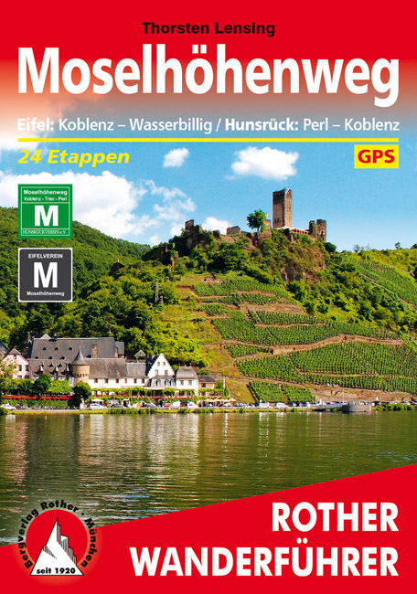
- Wandelgids Moselhöhenweg | Rother Bergverlag
- Duitstalige wandelgids met zeer goed beschreven wandelingen in de wandelgebieden. Redelijk kaartmateriaal, vooral de beschrijving van de route en de praktische info die er bij hoort is goed. 152 Seiten mit 86 Farbabbildungen 24 Höhenprofile, 25 Wanderkärtchen im Maßstab 1:75.000, eine Übersichtskarte im Maßstab 1:600.000 Wer einmal mit dem Zug... Read more
De Zwerver
Netherlands
2022
Netherlands
2022
De Zwerver
Netherlands
2017
Netherlands
2017
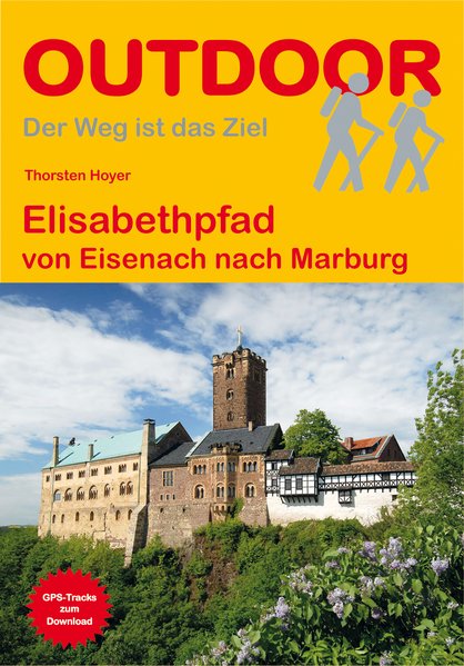
- Wandelgids Elisabethpfad von Eisenach nach Marburg | Conrad Stein Verlag
- Travel & Languages Travel (special interest) Guides (general) International Books Read more

De Zwerver
Netherlands
2021
Netherlands
2021
De Zwerver
Netherlands
2014
Netherlands
2014
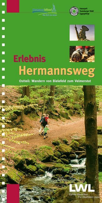
- Wandelgids Erlebnis Hermannsweg - Ostteil | TPK Kiper
- Zeer goede wandelgids met een prima beschrijving, zeer duidelijke kaarten en veel informatie. Bovendien in een ringband, dus uitermate handig in gebruik! Route van Bielefeld naar Horn - Bad Meinberg Östlicher Teil des zweibändigen Wanderführers "Erlebnis Hermannsweg" - Der Hermannsweg im Teutoburger Wald gilt als einer der schönsten... Read more
De Zwerver
Netherlands
2023
Netherlands
2023
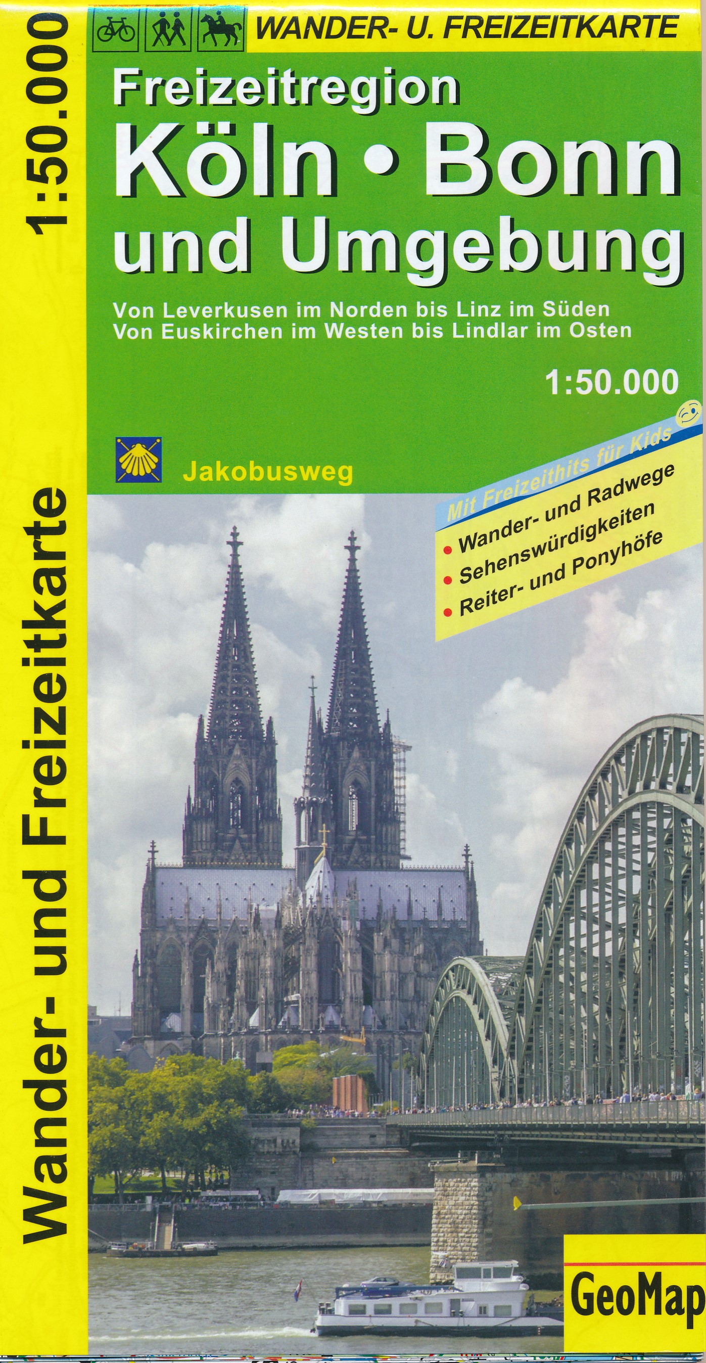
Kaarten
De Zwerver
Netherlands
Netherlands
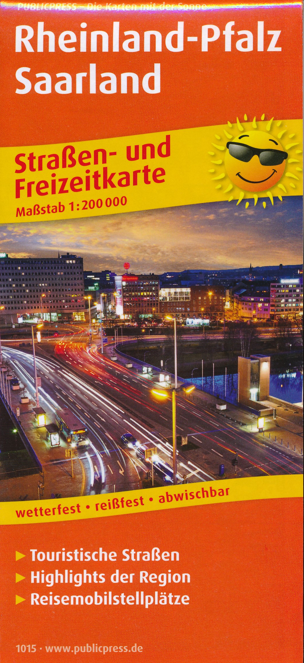
- Wegenkaart - landkaart 1015 Rheinland-Pfalz und Saarland | Publicpress
- Rheinland-Pfalz. Straßen- und Freizeitkarte 1 : 20 000 ab 10 EURO Straßen- und Freizeitkarte mit Touristischen Straßen, Highlights der Region und Reisemobilstellplätzen. 1:200000 PUBLICPRESS Straßen- und Freizeitkarte. 1. Auflage Read more

De Zwerver
Netherlands
Netherlands
- Wandelkaart 5 Rila gebergte | Domino
- Rila Mountains at 1:50,000 on a large, double-sided, contoured map with GPS waypoints for shelters and chalets, peaks, etc. and highlighting hiking routes. Topography is shown by contours at 50m intervals with additional relief shading and graphics and colouring for scree, single rocks over 5m high, marshlands and pine scrub and forests. An... Read more
- Also available from:
- Stanfords, United Kingdom

Stanfords
United Kingdom
United Kingdom
- Rila Mountains Domino
- Rila Mountains at 1:50,000 on a large, double-sided, contoured map with GPS waypoints for shelters and chalets, peaks, etc. and highlighting hiking routes. Topography is shown by contours at 50m intervals with additional relief shading and graphics and colouring for scree, single rocks over 5m high, marshlands and pine scrub and forests. An... Read more

- Also available from:
- Stanfords, United Kingdom

Stanfords
United Kingdom
United Kingdom
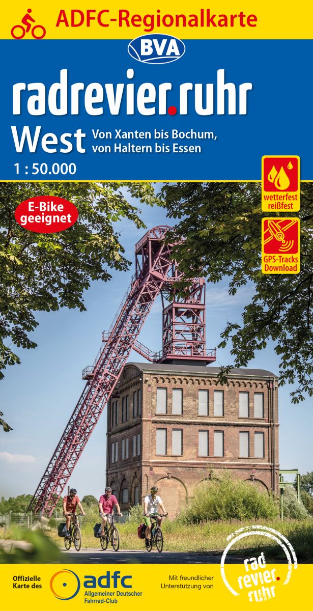
- Ruhr Region West Cycling Map
- Ruhrgebiet West on a waterproof, tear-resistant, GPS compatible cycling map at 1:50,000 from the ADFC (Allgemeiner Deutscher Fahrrad-Club - the official German cycling federation), in a series of maps with extensive overprint for long-distance and local cycling routes. GPS waypoints, route profiles, details of online links for information about... Read more
De Zwerver
Netherlands
2019
Netherlands
2019
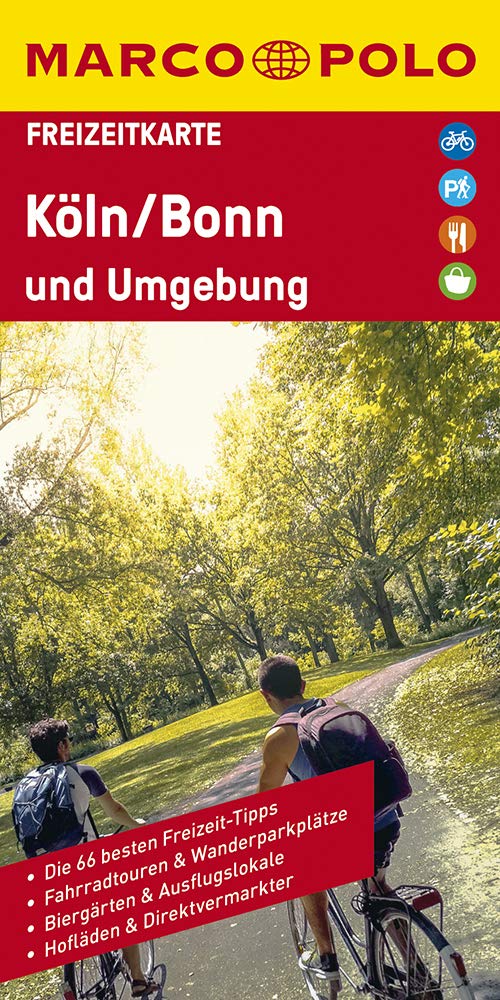
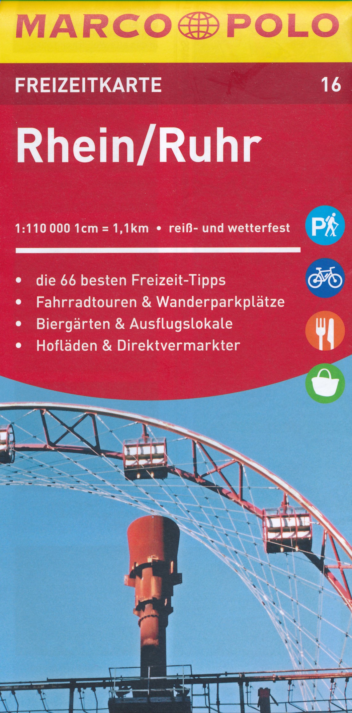
- Wegenkaart - landkaart 16 Marco Polo Freizeitkarte Rhein - Ruhr | MairDumont
- Die Freizeitkarte für Ihre schönsten Ausflugserlebnisse. Sie enthält farblich markierte Tipps zu Erlebnis, Natur und Kultur. Auch das leibliche Wohl kommt nicht zu kurz ... Gemütliche Biergärten und traditionsreiche Ausflugslokale werden ausführlich behandelt.DE Read more
De Zwerver
Netherlands
Netherlands
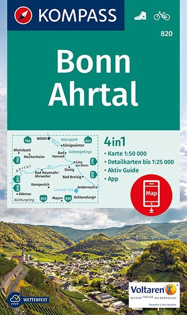
- Wandelkaart 820 Bonn - Ahrtal | Kompass
- Bonn – Ahrtal area of northern Eifel between Bonn and Mayen on a detailed, GPS compatible map at 1:50,000 from Kompass with local and long-distance footpaths, cycling routes, accommodation, etc, printed on durable, waterproof and tear-resistant synthetic paper.KOMPASS HIKING & RECREATIONAL MAPS: this title is part of an extensive series... Read more
- Also available from:
- Stanfords, United Kingdom

Stanfords
United Kingdom
United Kingdom
- Bonn - Ahrtal Kompass 820
- Bonn – Ahrtal area of northern Eifel between Bonn and Mayen on a detailed, GPS compatible map at 1:50,000 from Kompass with local and long-distance footpaths, cycling routes, accommodation, etc, printed on durable, waterproof and tear-resistant synthetic paper.KOMPASS HIKING & RECREATIONAL MAPS: this title is part of an extensive series... Read more

De Zwerver
Netherlands
Netherlands
- Wandelkaart Strandzha - Bulgarije | Domino
- Strandzha Mountains in the south-eastern corner of Bulgaria between Burgas to the Turkish border on a contoured and GPS compatible map from Domino showing local hiking trails and highlighting various interesting sites, with three more detailed enlargements at 1:25,000. Most place names are in both Latin and Cyrillic alphabet; map legend... Read more
- Also available from:
- Stanfords, United Kingdom

Stanfords
United Kingdom
United Kingdom
- Strandzha Mountains: Burgas to the Turkish Border Domino Map
- Strandzha Mountains in the south-eastern corner of Bulgaria between Burgas to the Turkish border on a contoured and GPS compatible map from Domino showing local hiking trails and highlighting various interesting sites, with three more detailed enlargements at 1:25,000. Most place names are in both Latin and Cyrillic alphabet; map legend... Read more

De Zwerver
Netherlands
Netherlands
- Wandelkaart Eifelsteig | Publicpress
- Deze gedetailleerde wandelkaart beschrijft de wandelroute van 313 km lengte van Aachen naar Trier, maar ook enkele mogelijke alternatieve routes. Beschreven met veel praktische informatie en bezienswaardigheden onderweg. Erg handig uitgevoerd in water- en scheurvast plastic en in praktisch uitklapformaat! Die Wanderkarte Eifelsteig widmet sich... Read more
Meer kaarten…