
Rheinland-Pfalz
Beschrijving
Paden in deze landsdeel
- Ahr-Venn-WegGPX
- AhrtalwegGPX
- Alsenztal Wanderweg
- AusoniuswegGPX
- BonifatiuswegGPX
- Deutsche WeinstrasseGPX
- E1GPX
- E8GPX
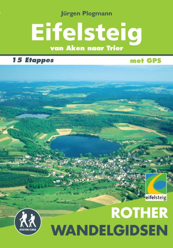
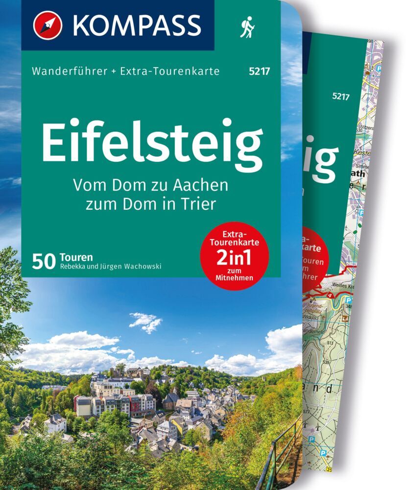
- EifelsteigGPX
- Erft-Lieser-Mosel-Weg GPX
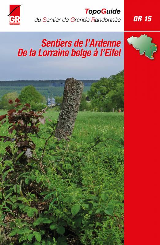
- GR15 - AE - Ardennes-EifelGPX
- GR5GPX
- Hessenweg 7GPX
- Hunsrück Höhenweg
- Jakobsweg im Elsass
- Josef-Schramm-Weg GPX
- Karl-Kaufmann-WegGPX
- KarolingerwegGPX
- KrönungswegGPX
- Lahn WanderwegGPX
- LahnhöhenwegGPX
- LieserpfadGPX
- MatthiaswegGPX
- Mosel-OurwegGPX
- MoselhöhenwegGPX
- MoselsteigGPX
- Nahe HöhenwegGPX
- NibelungenwegGPX
- Pfälzer WeinsteigGPX
- Rhein-Kyll-WegGPX
- Rhein-Rureifel-Weg GPX
- RheinburgenwegGPX
- Rheingauer Riesling Routen
- RheinhöhenwegGPX
- RheinsteigGPX
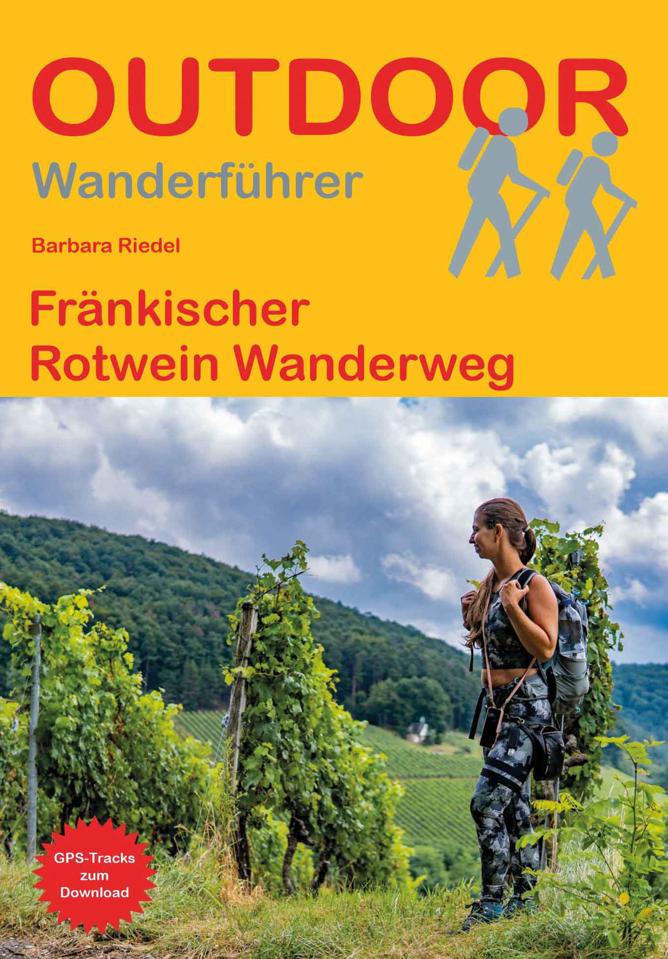
- Rotwein WanderwegGPX
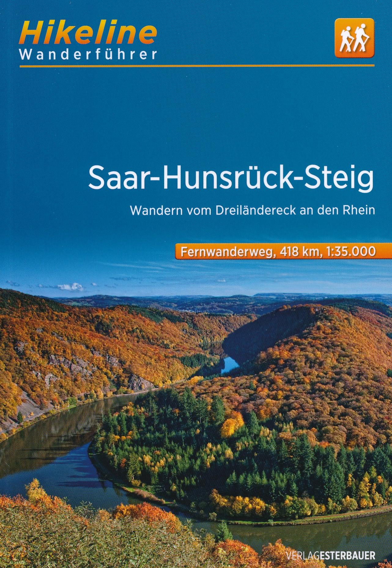
- Saar-HunsrücksteigGPX
- SchinderhannespfadGPX
- Siegerland HöhenringGPX
- SironawegGPX
- SoonwaldsteigGPX
- SponheimerwegGPX
- Taunus HöhenwegGPX
- VulkanwegGPX
- Weinwanderweg Rhein-NaheGPX
- WesterwaldsteigGPX
- Westpfalz WanderwegGPX
- WillibrorduswegGPX
Links
Feiten
Verslagen
Gidsen en kaarten
Overnachting
Organisaties
Reisorganisaties
GPS
Anders
Boeken
De Zwerver
Netherlands
2017
Netherlands
2017
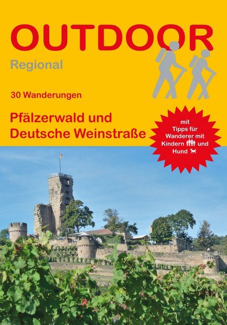
- Wandelgids Pfälzerwald und Deutsche Weinstraße (30 Wanderungen) | Conrad Stein Verlag
- Travel & Languages Travel (special interest) Guides (general) International Books Read more
De Zwerver
Netherlands
2021
Netherlands
2021
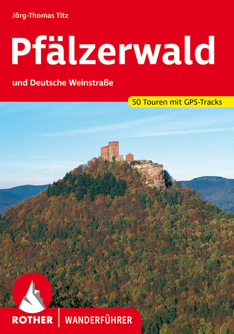
- Wandelgids Pfälzerwald | Rother Bergverlag
- Uitstekende wandelgids met een groot aantal dagtochten in dal en hooggebergte. Met praktische informatie en beperkt kaartmateriaal! Wandelingen in verschillende zwaarte weergegeven in rood/blauw/zwart. ",Fröhlich Pfalz, Gott erhalt's", ist ein gern genutzter Trinkspruch in der "Toskana Deutschlands", wie die Pfalz wegen... Read more
De Zwerver
Netherlands
2019
Netherlands
2019

De Zwerver
Netherlands
2021
Netherlands
2021
De Zwerver
Netherlands
2020
Netherlands
2020
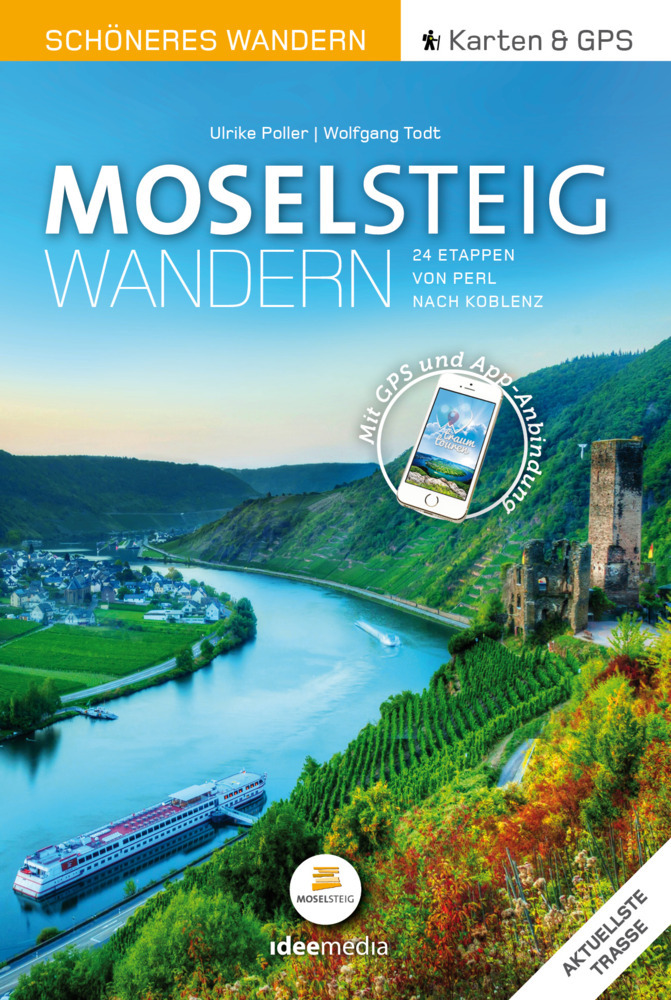
- Wandelgids Moselsteig | IdeeMedia
- 24 traumhafte Etappen auf Deutschlands jüngstem Fernwanderweg Read more

De Zwerver
Netherlands
2020
Netherlands
2020
- Wandelkaart - Wandelgids Moselsteig | IdeeMedia
- Complete gids + kaartenset om de Moselsteig te lopen langs de Moezel van Perl bij Schengen via Trier en Cochem naar Koblenz aan de Rijn. Totaal 365 km. Beschrijving van 24 wandeletappes met belangrijke informatie voor onderweg. Detailkaartjes en hoogteprofielen, overnachtingsadressen, bezienswaardigheden. Bij het boek horen 3 topografische... Read more
De Zwerver
Netherlands
2021
Netherlands
2021
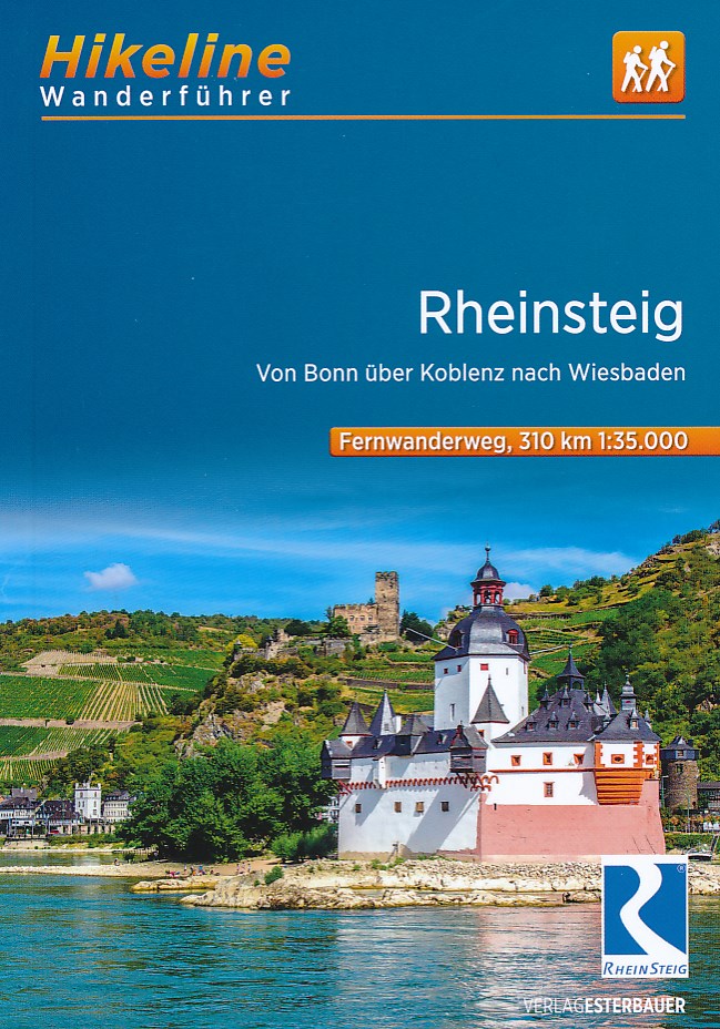
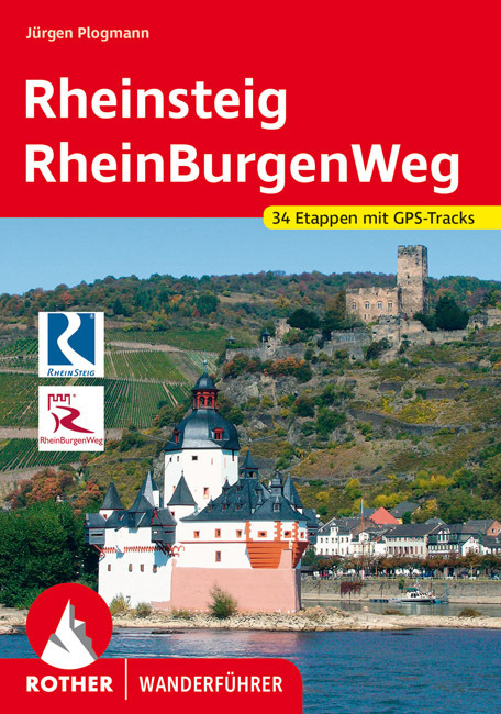
- Wandelgids Rheinsteig mit Rheinburgenweg und Rheinhöhenwegen | Rother Bergverlag
- Der romantische Mittelrhein zwischen Mainz/Wiesbaden und Bonn ist eine der spektakulärsten Landschaften Deutschlands und UNESCO-Welterbe. Neben dem Erleben der Natur trifft der Wanderer am Rhein auf viel Kultur, sehenswerte mittelalterliche Städte und die weltweit größte Burgendichte. In diesem Rother Wanderführer werden die wichtigsten... Read more


De Zwerver
Netherlands
2017
Netherlands
2017
- Wandelgids Hikeline Saar-Hunsrück Steig | Esterbauer
- Handzame gids over de Saar-Hunsrück-Steig met een goede beschrijving van de gehele route. Der Saar-Hunsrück-Steig wurde im Mai 2007 eröffnet und mit dem Deutschen Wandersiegel als Premiumfernwanderweg ausgezeichnet und erfüllt somit die hohen Qualitätskriterien des Deutschen Wanderinstitutes. Europaweit einmalig ist dabei der niedrige Anteil... Read more
Meer boeken…
Kaarten

De Zwerver
Netherlands
Netherlands
- Wandelkaart Sredna Gora - Bulgarije | Domino
- Pirin Mountains at 1:50,000 on a large, double-sided, contoured map with GPS waypoints for shelters and chalets, peaks, etc. and highlighting hiking routes. Topography is shown by contours at 40m intervals with additional relief shading and graphics and colouring for sandstone stacks, single rocks over 5m high, marshlands and different types of... Read more

De Zwerver
Netherlands
2014
Netherlands
2014
- Wandelkaart 07 Mercantour & Alpi-Maritieme | Didier Richard
- Mercantour National Park and the Maritime Alps on a large, double-sided, contoured and GPS compatible map from Editions Didier Richard highlighting local walking trails and long-distance hiking routes including the GR5. Coverage extends from well north of Col de Larch to Sospel, Levens and Roquestéron in the mountains north of the French... Read more
- Also available from:
- Stanfords, United Kingdom

Stanfords
United Kingdom
2014
United Kingdom
2014
- Mercantour & Alpi-Marittime Didier Richard 07
- Mercantour National Park and the Maritime Alps on a large, double-sided, contoured and GPS compatible map from Editions Didier Richard highlighting local walking trails and long-distance hiking routes including the GR5. Coverage extends from well north of Col de Larch to Sospel, Levens and Roquestéron in the mountains north of the French... Read more

De Zwerver
Netherlands
Netherlands
- Wandelkaart 2 Stara Planina gebergte | Domino
- Stara Planina Central: Uzana to Vratnik map at 1:50,000 from Bulgarian publishers Domino, contoured and GPS compatible, with hiking trails, accommodation options including a list of local mountain refuges, etc. The map is double-sided and covers the mountains from just west of the Uzana massif, the geographical centre of Bulgaria, eastwards to... Read more
- Also available from:
- Stanfords, United Kingdom

Stanfords
United Kingdom
United Kingdom
- Stara Planina Central: Uzana to Vratnik Domino Map
- Stara Planina Central: Uzana to Vratnik map at 1:50,000 from Bulgarian publishers Domino, contoured and GPS compatible, with hiking trails, accommodation options including a list of local mountain refuges, etc. The map is double-sided and covers the mountains from just west of the Uzana massif, the geographical centre of Bulgaria, eastwards to... Read more
De Zwerver
Netherlands
Netherlands
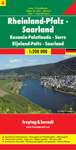
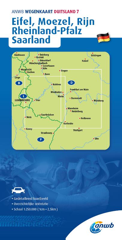
- Wegenkaart - landkaart 04 Rheinland-Pfalz - Saarland | Freytag & Berndt
- Deutschland 04 Rheinland Pfalz, Saarland 1 : 200 000 ab 10.9 EURO Touristische Informationen. Ortregister. GPS-tauglich Deutschland Freytag & Berndt Autokarte Read more

De Zwerver
Netherlands
2016
Netherlands
2016
- Wandelkaart 04 Vanoise - Beaufortain | Didier Richard
- Vanoise National Park and the Beaufortain Massif in the French Alps at 1:60,000 on a contoured and GPS compatible map from Didier Richard with a base derived from IGN Read more
- Also available from:
- Stanfords, United Kingdom

Stanfords
United Kingdom
2016
United Kingdom
2016
- Vanoise National Park - Beaufortain Didier Richard 04
- Vanoise National Park and the Beaufortain Massif in the French Alps at 1:60,000 on a contoured and GPS compatible map from Didier Richard with a base derived from IGN’s topographic survey, highlighting both local hiking routes and the GR network of long-distance paths, gîtes and mountain refuges, interesting natural and cultural sites, etc. The... Read more

De Zwerver
Netherlands
Netherlands
- Wandelkaart 3 Stara Planina gebergte | Domino
- Stara Planina Western: Belogradchik to Berkovita map at 1:50,000 from Bulgarian publishers Domino, contoured and GPS compatible, with hiking trails, accommodation options including a list of local mountain refuges, etc. The map is double-sided and covers the mountains from the peak of Byala Voda near Belogradchik eastwards to just beyond... Read more
- Also available from:
- Stanfords, United Kingdom

Stanfords
United Kingdom
United Kingdom
- Stara Planina Western: Belogradchik to Berkovita Domino Map
- Stara Planina Western: Belogradchik to Berkovita map at 1:50,000 from Bulgarian publishers Domino, contoured and GPS compatible, with hiking trails, accommodation options including a list of local mountain refuges, etc. The map is double-sided and covers the mountains from the peak of Byala Voda near Belogradchik eastwards to just beyond... Read more
De Zwerver
Netherlands
Netherlands
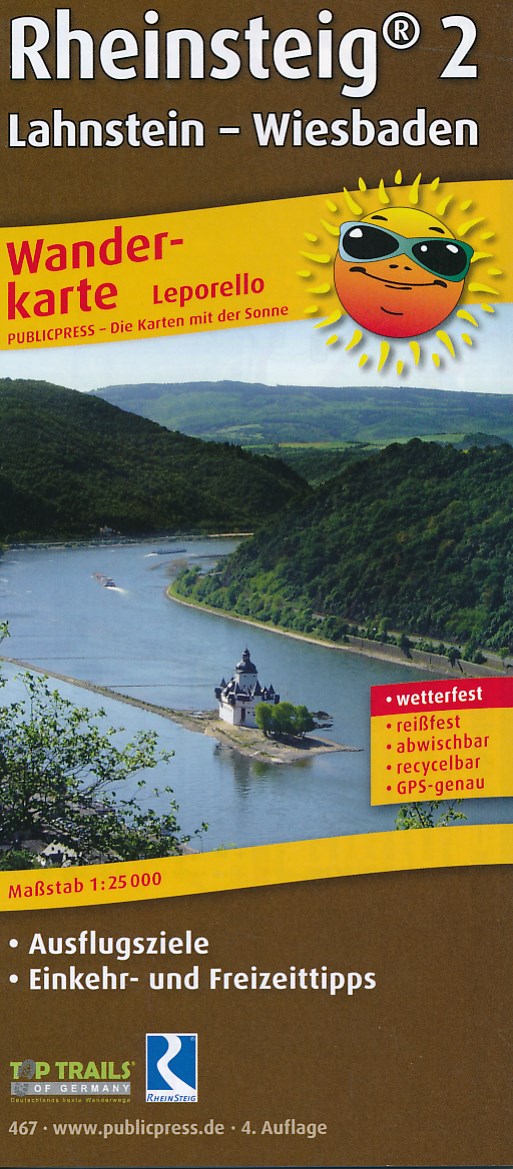
- Wandelkaart Rheinsteig 2 | Publicpress
- Die Wanderkarte beschreibt den zweiten Teil des Premiumwanderweges von Lahnstein bei Koblenz bis Wiesbaden im Leporello-Format. Die 172,5 km führen naturnah am rechtsrheinischen Ufer entlang; auch auf schmalen Pfaden in angrenzende Wälder und Weinberge durch die Regionen Mittelrhein und Rheingau. Welche Sehenswürdigkeiten außer der Loreley noch... Read more


De Zwerver
Netherlands
Netherlands
- Wandelkaart 4 Stara Planina gebergte | Domino
- Stara Planina Western: Berkovita to Zlatitsa map at 1:50,000 from Bulgarian publishers Domino, contoured and GPS compatible, with hiking trails, accommodation options including a list of local mountain refuges, etc. The map is double-sided and covers the mountains from Varshets (directly north of Sofia) to just beyond Etrepole.Maps in the... Read more
- Also available from:
- Stanfords, United Kingdom

Stanfords
United Kingdom
United Kingdom
- Stara Planina Western: Berkovita to Zlatitsa Domino Map
- Stara Planina Western: Berkovita to Zlatitsa map at 1:50,000 from Bulgarian publishers Domino, contoured and GPS compatible, with hiking trails, accommodation options including a list of local mountain refuges, etc. The map is double-sided and covers the mountains from Varshets (directly north of Sofia) to just beyond Etrepole.Maps in the... Read more

De Zwerver
Netherlands
Netherlands
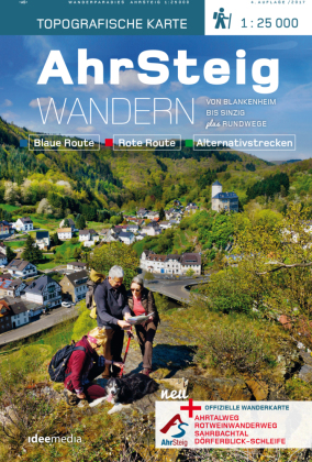
- Wandelkaart Ahrsteig - von Blankenheim bis Sinzig | IdeeMedia
- 14 traumhafte Touren von Blankenheim bis Sinzig. Neuerscheinung. Read more
De Zwerver
Netherlands
Netherlands
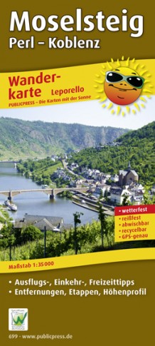
- Wandelkaart Moselsteig | Publicpress
- Beschreven met veel praktische informatie en bezienswaardigheden onderweg. Erg handig uitgevoerd in water- en scheurvast plastic en in praktisch uitklapformaat! Der Qualitätswanderweg führt auf seinen 365 km Länge von Perl nach Koblenz entlang der Mosel durch eine der schönsten Kulturlandschaften Europas. Geprägt wird sie vom Wein, einer über... Read more

De Zwerver
Netherlands
Netherlands
- Wandelkaart 05 Outdoorkarte FR Elsass - Colmar - Sélestat - Elzas | Kümmerly & Frey
- The central part of Alsace around Colmar and Sélestat on a GPS compatible, double-sided map at 1:50,000 from Kümmerly+Frey printed on sturdy, waterproof and tear-resistant synthetic paper; contoured, with hiking and cycling routes, sites for other recreational activities, various accommodation options, restaurants and ferme-auberge locations,... Read more
- Also available from:
- Stanfords, United Kingdom

Stanfords
United Kingdom
United Kingdom
- Alsace - Colmar - Sélestat - Freiburg im Breisgau - Lahr K+F Outdoor Map 5
- The central part of Alsace around Colmar and Sélestat on a GPS compatible, double-sided map at 1:50,000 from Kümmerly+Frey printed on sturdy, waterproof and tear-resistant synthetic paper; contoured, with hiking and cycling routes, sites for other recreational activities, various accommodation options, restaurants and ferme-auberge locations,... Read more