
Dolomiti
Beschrijving
Kaart

Paden in deze regio
- Alta Via Dolomiti 1GPX
- Alta Via Dolomiti 10
- Alta Via Dolomiti 2GPX
- Alta Via Dolomiti 3GPX
- Alta Via Dolomiti 4GPX
- Alta Via Dolomiti 5
- Alta Via Dolomiti 6GPX
- Alta Via Dolomiti 7
- Alta Via Dolomiti 8
- Alta Via Dolomiti 9
- Südalpenweg - 3GPX
- Sentiero della PaceGPX
- Tiroler Höhenweg
- Traumpfad München-VenedigGPX
- Via AlpinaGPX
Links
Feiten
Verslagen
Gidsen en kaarten
Overnachting
Organisaties
Reisorganisaties
GPS
Anders
Boeken
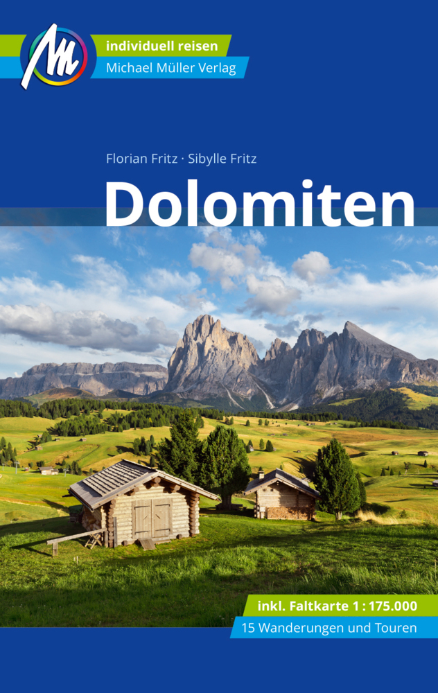
De Zwerver
Netherlands
2022
Netherlands
2022
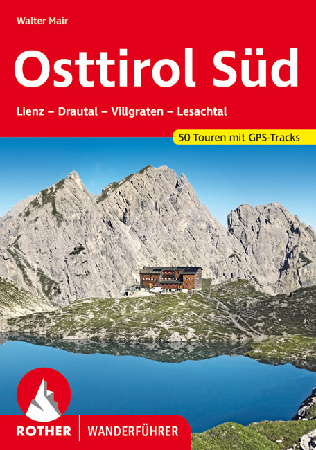
- Wandelgids Osttirol Süd | Rother Bergverlag
- Uitstekende wandelgids met een groot aantal dagtochten in dal en hooggebergte. Met praktische informatie en beperkt kaartmateriaal! Wandelingen in verschillende zwaarte weergegeven in rood/blauw/zwart. Osttirol liegt südlich der Hohen Tauern, der höchsten Alpenkette Österreichs, die so manche Regenfront aus dem Norden abhält. Von Süden her tun... Read more
De Zwerver
Netherlands
2023
Netherlands
2023
De Zwerver
Netherlands
2020
Netherlands
2020
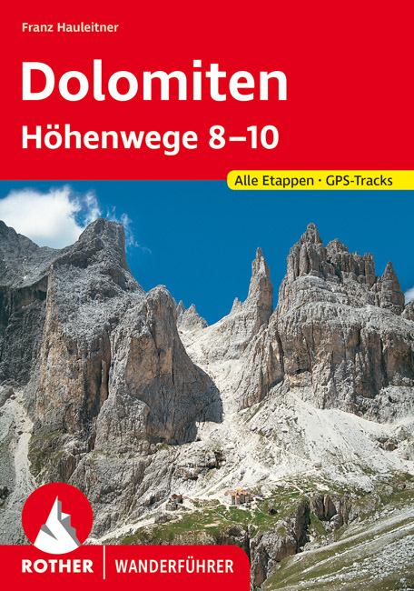
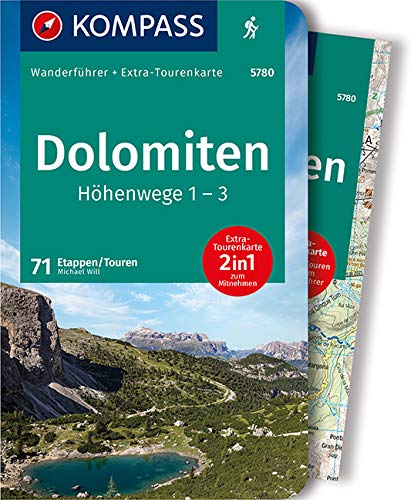
- Wandelgids Dolomiten-Höhenwege 8-10 (Dolomieten) | Rother Bergverlag
- Der Band ´´Dolomiten-Höhenwege 8-10´´ wurde grundlegend aktualisiert und überarbeitet. Es handelt sich dabei um vorwiegend leichte, teils aber auch anspruchsvolle Steige, die in 13 bis 18 Tagesetappen durch ständig wechselnde Landschaften und gewaltige Hochgebirgsszenerien mit eindrucksvollen Fernblicken führen: Der 160 km lange Höhenweg Nr. 8... Read more
De Zwerver
Netherlands
2022
Netherlands
2022
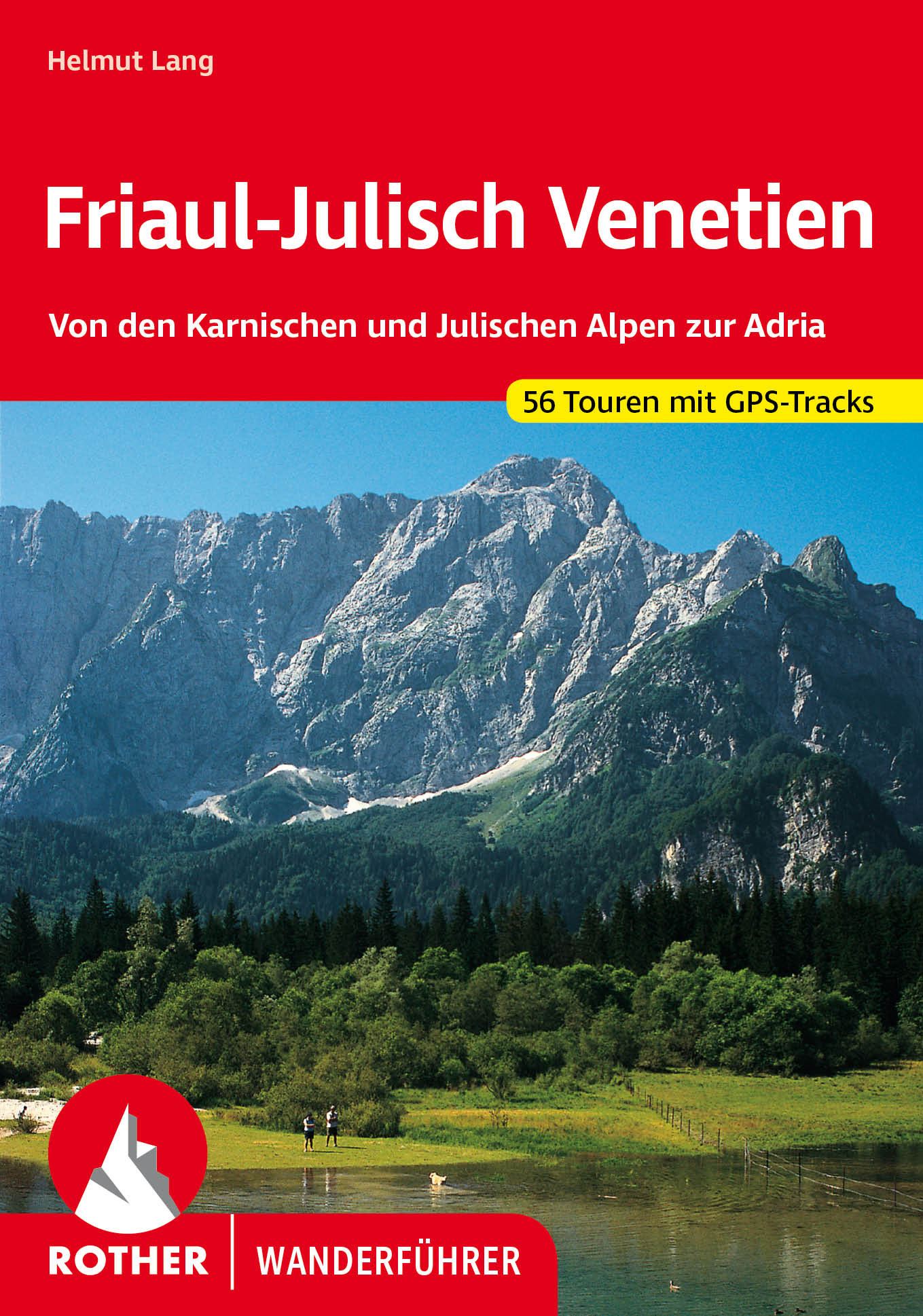
- Wandelgids 40 Friaul - Julisch Venetien - Venetië | Rother Bergverlag
- Duitstalige wandelgids met zeer goed beschreven wandelingen in de genoemde gebieden. Redelijk kaartmateriaal, vooral de beschrijving van de route en de praktische info die er bij hoort is meer dan goed. Over alle eilanden verspreid. Friaul-Julisch Venetien welch geheimnisvoller Zauber schwingt in diesen Worten mit! Sie bezeichnen eine Region im... Read more
De Zwerver
Netherlands
2022
Netherlands
2022
De Zwerver
Netherlands
2018
Netherlands
2018
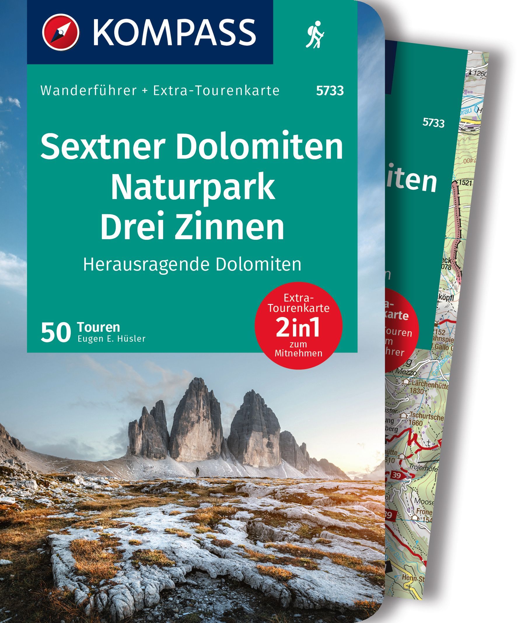
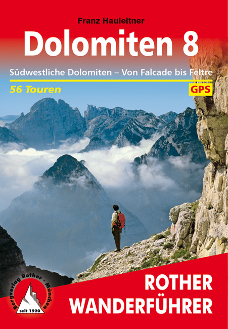
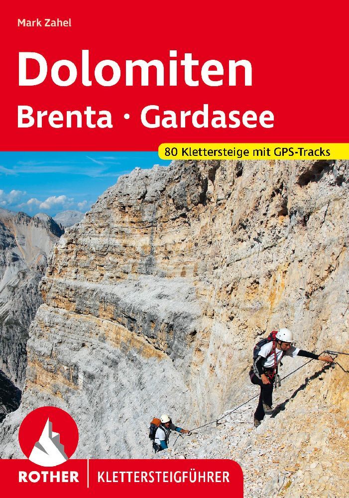
- Wandelgids Dolomiten 8 | Rother Bergverlag
- Uitstekende wandelgids met een groot aantal dagtochten in dal en hooggebergte. Met praktische informatie en beperkt kaartmateriaal! Wandelingen in verschillende zwaarte weergegeven in rood/blauw/zwart. 56 Höhenprofile; 56 Wanderkärtchen im Maßstab 1:25.000, 1:50.000 und 1:75.000, zwei Übersichtskarten im Maßstab 1:500.000 und 1:600.000,... Read more

De Zwerver
Netherlands
2013
Netherlands
2013
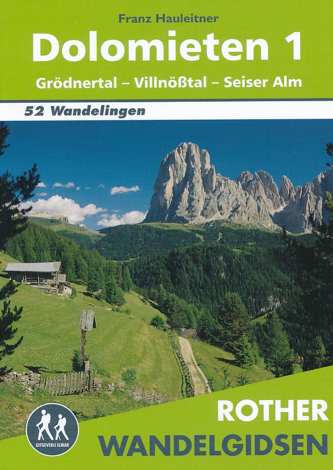
- Wandelgids Dolomieten 1 | Uitgeverij Elmar
- De Rother wandelgids Dolomieten 1 bevat 52 uitgelezen wandelingen in het westelijk gedeelte van de Grödner Dolomieten. Alle wandelingen zijn voorzien van betrouwbare routebeschrijvingen, gedetailleerde wandelkaarten en informatieve hoogteprofielen. Deze wandelgids voor de Dolomieten beschrijft wandeltochten tussen Brixen, Bozen en het Fassatal... Read more
De Zwerver
Netherlands
2019
Netherlands
2019
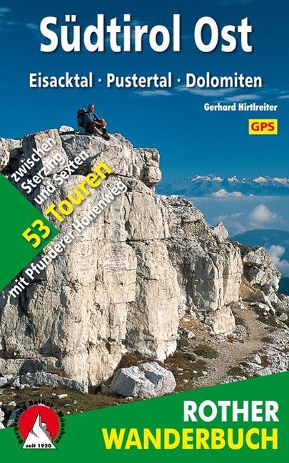
- Wandelgids Südtirol Ost Eisacktal - Pustertal - Dolomiten | Rother Bergverlag
- De ‘Rother Wanderbücher’ behandelen telkens de 50 mooiste wandelingen, die variëren van eenvoudige kindvriendelijke wandelingen tot routes die aanzienlijk meer ervaring vereisen. Uitvoerige routebeschrijvingen, een aantrekkelijke lay-out met vele kleurenfoto’s, niets aan duidelijkheid te wensen gelaten hoogteprofielen, kaartjes met de... Read more
De Zwerver
Netherlands
2015
Netherlands
2015
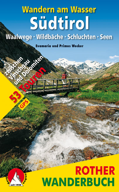
- Wandelgids Zuid Tirol -Wandern am Wasser Südtirol | Rother Bergverlag
- Waalwege · Wildbäche · Schluchten · Seen. 53 Touren zwischen Vinschgau und Dolomiten. Mit GPS-Tracks. Read more

De Zwerver
Netherlands
2023
Netherlands
2023
Kaarten

De Zwerver
Netherlands
Netherlands
- Wandelkaart 2458 Firenze - Siena - Chianti | Kompass
- Florence - Siena - Chianti area on a double-sided map at 1:50,000 from Kompass, printed on durable, waterproof and tear-resistant synthetic paper. Coverage includes Val di Pesa, Val d’Elsa, Monteriggioni, etc. Contours are at 40m intervals, with a 2-km UTM grid. Extensive overprint includes GEA - Grande Escursione Appenninica, Sentiero Italia,... Read more
- Also available from:
- Stanfords, United Kingdom

Stanfords
United Kingdom
United Kingdom
- Florence - Siena - Chianti Kompass 2458
- Florence - Siena - Chianti area on a double-sided map at 1:50,000 from Kompass, printed on durable, waterproof and tear-resistant synthetic paper. Coverage includes Val di Pesa, Val d’Elsa, Monteriggioni, etc. Contours are at 40m intervals, with a 2-km UTM grid. Extensive overprint includes GEA - Grande Escursione Appenninica, Sentiero Italia,... Read more
De Zwerver
Netherlands
Netherlands
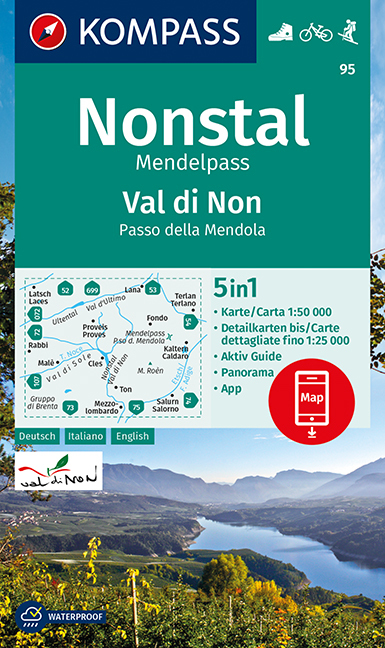
- Wandelkaart 95 Valle di Non/Nonstal | Kompass
- Valle di Non (Nonstal) area of the Dolomites west of Bolzano on a GPS compatible hiking and recreational map at 1:50,000 from Kompass.KOMPASS HIKING MAPS OF ITALY:This title is part of an extensive series of walking maps from Kompass covering selected areas of Italy at mainly 1:50,000, with a GPS compatible, contoured topographic base,... Read more
- Also available from:
- Stanfords, United Kingdom

Stanfords
United Kingdom
United Kingdom
- Valle di Non / Nonstal - Passo della Mendola / Mendelpass Kompass 95
- Valle di Non (Nonstal) area of the Dolomites west of Bolzano on a GPS compatible hiking and recreational map at 1:50,000 from Kompass.KOMPASS HIKING MAPS OF ITALY:This title is part of an extensive series of walking maps from Kompass covering selected areas of Italy at mainly 1:50,000, with a GPS compatible, contoured topographic base,... Read more
De Zwerver
Netherlands
Netherlands
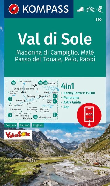
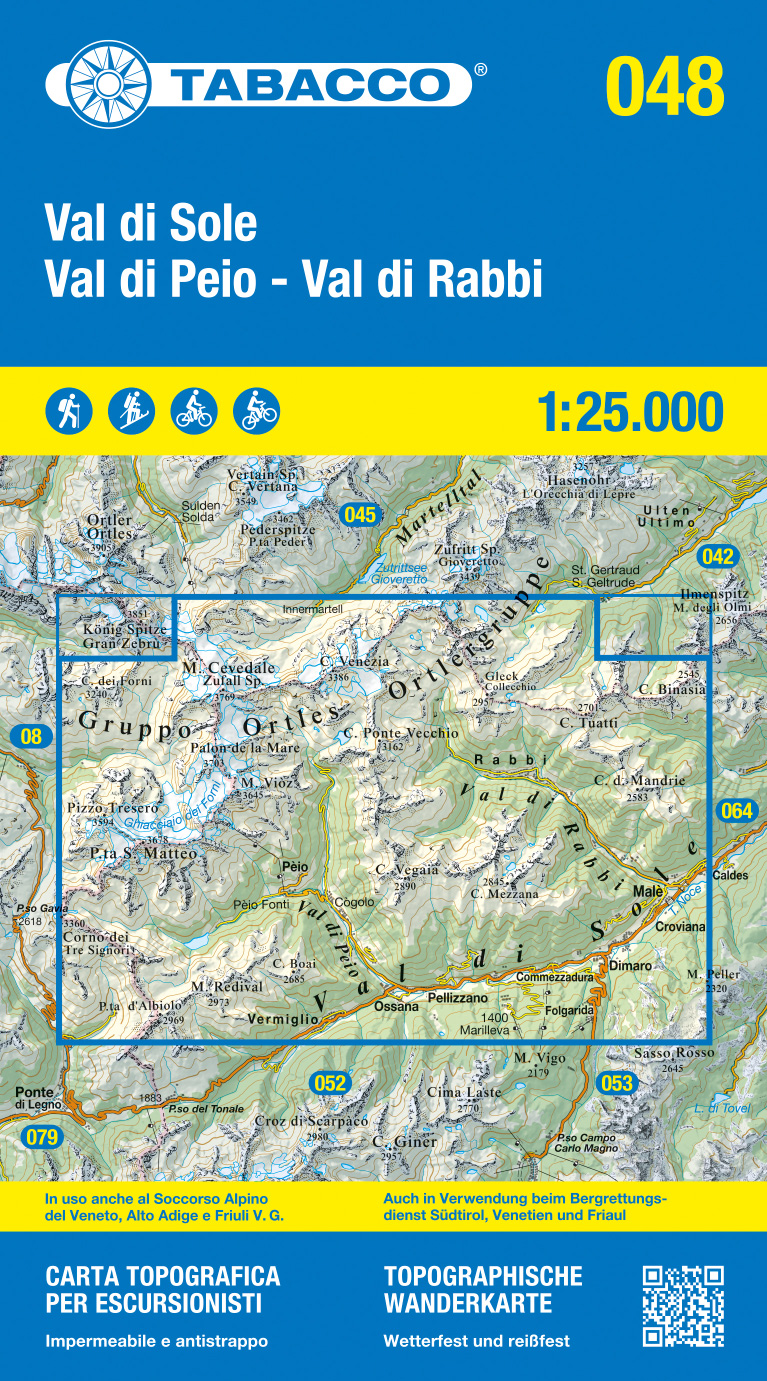
- Wandelkaart 119 Val di Sole | Kompass
- Map No. 119, Val di Sole - with a panorama map on the reverse, from Kompass in a series providing detailed coverage of the Dolomites and Lake Garda area and supplementing their main series of walking maps of Italy at 1:50,000. Maps in this series have a more detailed base and smaller contour interval than coverage at 1:50,000.*Cartography:*... Read more
- Also available from:
- Stanfords, United Kingdom

Stanfords
United Kingdom
United Kingdom
- Val di Sole - Madonna di Campiglio - Malè - Passo del Tonale Kompass 119
- Map No. 119, Val di Sole - with a panorama map on the reverse, from Kompass in a series providing detailed coverage of the Dolomites and Lake Garda area and supplementing their main series of walking maps of Italy at 1:50,000. Maps in this series have a more detailed base and smaller contour interval than coverage at 1:50,000.*Cartography:*... Read more
De Zwerver
Netherlands
Netherlands
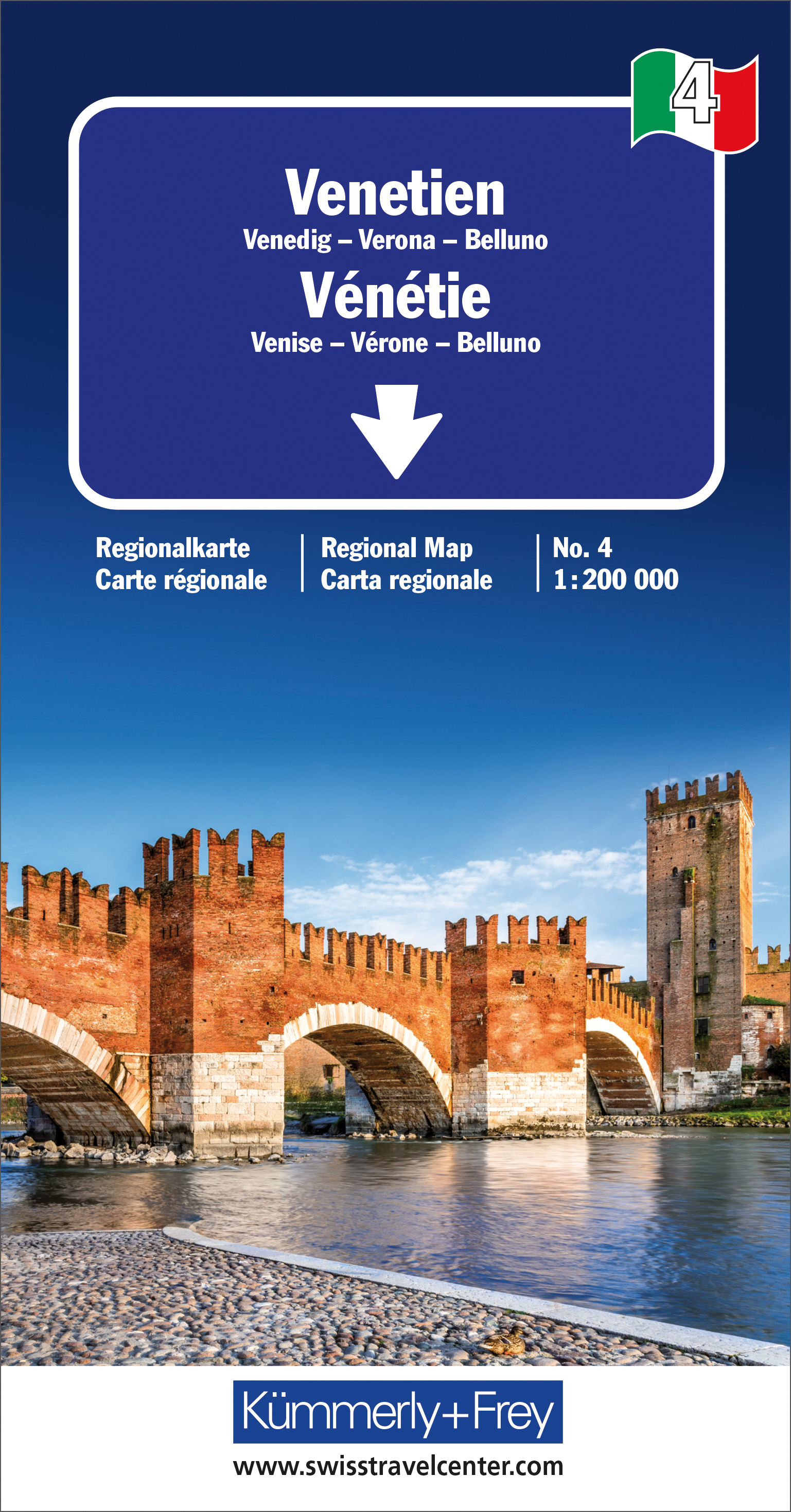
- Wegenkaart - landkaart 04 Venetie / Veneto | Kümmerly & Frey
- Strassenkarte Italien Blatt 4: Venetien ab 10.95 EURO Venedig-Verona-Blluno. Regionalkarte Nr. 4. Massstab 1:200000 Italien Regionalkarte Kümmerly & Frey Karte. 1. Auflage, Laufzeit bis 2021 Read more
De Zwerver
Netherlands
Netherlands
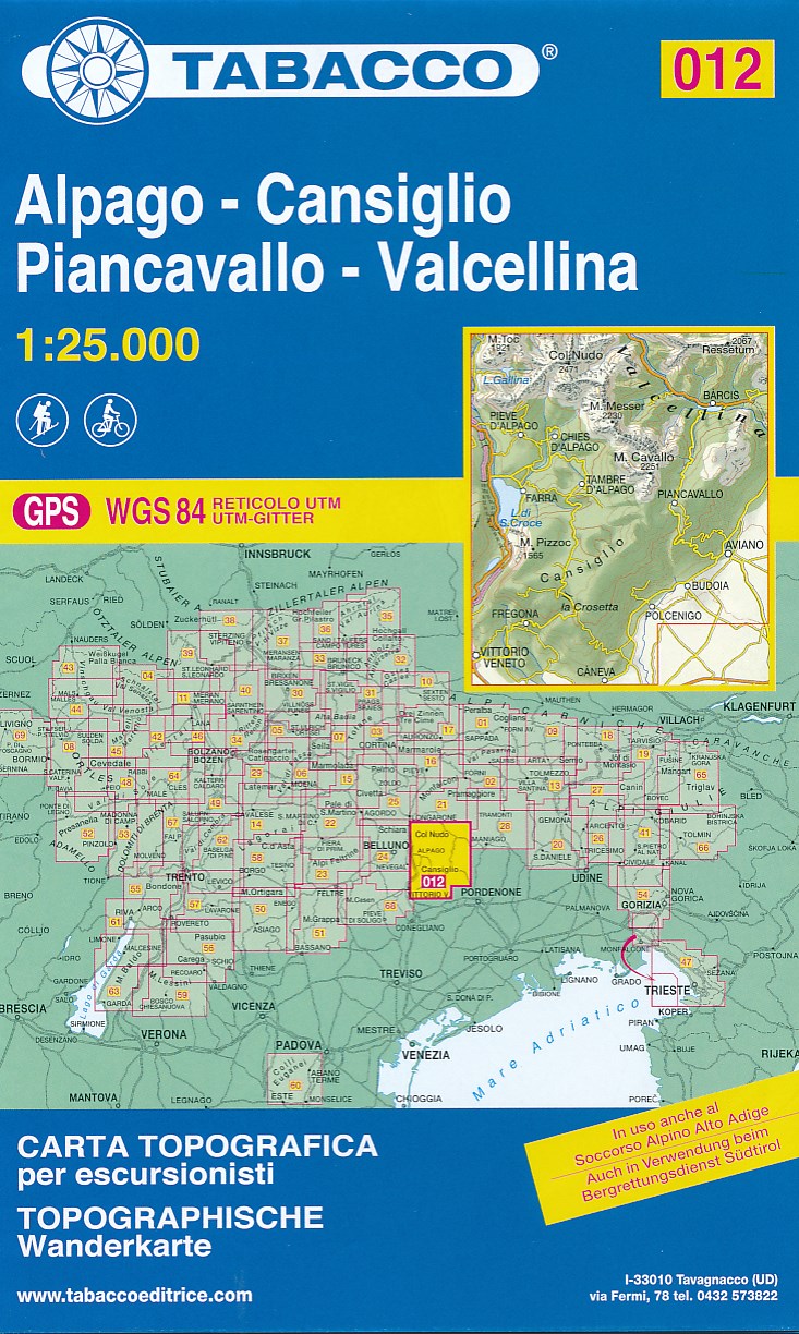
- Wandelkaart 012 Alpago - Cansiglio - Piancavallo - Valcellina | Tabacco Editrice
- De beste wandelkaarten voor de Dolomieten. Zeer veel topografische details met secure hoogtelijnen (25 meter interval), helder kleurgebruik en bijna alle Tabacco kaarten hebben een UTM grid (voor GPS toepasbaar). Daarnaast zijn op deze wandelkaarten wandelroutes ingetekend met nummering gelijk aan markering onderweg aangebracht door de lokale... Read more
- Also available from:
- Stanfords, United Kingdom

Stanfords
United Kingdom
United Kingdom
- Alpago - Cansiglio - Piancavallo - Valcellina Tabacco 012
- Alpago - Cansiglio - Piancavallo – Valcellina area in a series of Tabacco maps at 1:25,000 covering the Dolomites and the mountains of north-eastern Italy - Stanfords’ most popular coverage for this region, with excellent cartography and extensive overprint for hiking routes and other recreational activities, local bus stops, etc. Additional... Read more
De Zwerver
Netherlands
Netherlands
- Also available from:
- Stanfords, United Kingdom
Stanfords
United Kingdom
United Kingdom
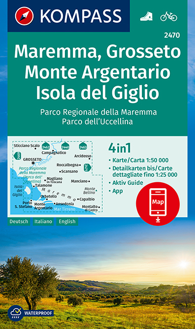
- Maremma - Grosseto - Monte Argentario - Isola di Giglio Kompass 2470
- Maremma - Grosseto - Monte Argentario - Isola di Giglio area on a double-sided map at 1:50,000 from Kompass, printed on durable, waterproof and tear-resistant synthetic paper. Coverage includes Parco Regionale della Maremma, Parco Naturale dell’Iccellina, Monte Bellino, etc. Contours are at 40m intervals, with a 2-km UTM grid. Extensive... Read more
De Zwerver
Netherlands
2022
Netherlands
2022
De Zwerver
Netherlands
Netherlands
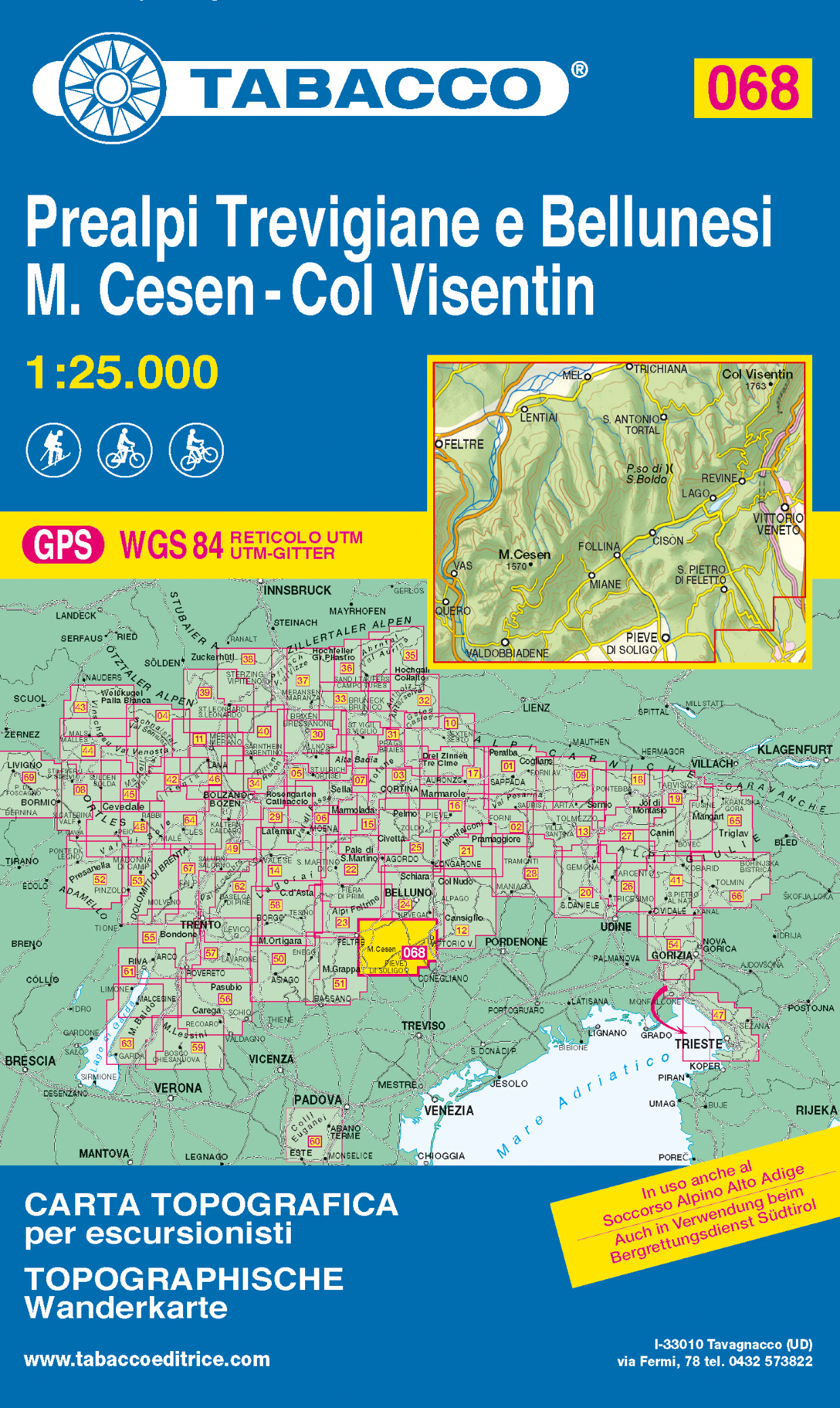
- Wandelkaart 068 Prealpi Trevigiane e Bellunesi - M. Cesen - Col Visentin | Tabacco Editrice
- Monte Grappa - Basano - Feltre in a series of Tabacco maps at 1:25,000 covering the Dolomites and the mountains of north-eastern Italy - Stanfords’ most popular coverage for this region, with excellent cartography and extensive overprint for hiking routes and other recreational activities, local bus stops, etc. Additional overprint in this... Read more
- Also available from:
- Stanfords, United Kingdom

Stanfords
United Kingdom
United Kingdom
- Prealpi Trevigiane and Bellunesi - M. Cesen - Col Visentin Tabacco 068
- Monte Grappa - Basano - Feltre in a series of Tabacco maps at 1:25,000 covering the Dolomites and the mountains of north-eastern Italy - Stanfords’ most popular coverage for this region, with excellent cartography and extensive overprint for hiking routes and other recreational activities, local bus stops, etc. Additional overprint in this... Read more
De Zwerver
Netherlands
2023
Netherlands
2023

De Zwerver
Netherlands
Netherlands
- Wandelkaart 14 San Remo, imperia Monte Carlo | IGC - Istituto Geografico Centrale
- The westernmost part of the Italian Riviera with coverage extending from Monte Carlo to Imperia and northwards to Tende, in a series contoured hiking maps at 1:50,000 with local trails, long-distance footpaths, mountain accommodation, etc. from the Turin based Istituto Geografico Centrale.Maps in this series have contours at 50m intervals,... Read more
- Also available from:
- Stanfords, United Kingdom

Stanfords
United Kingdom
United Kingdom
- San Remo - Imperia - Monte Carlo IGC 14
- The westernmost part of the Italian Riviera with coverage extending from Monte Carlo to Imperia and northwards to Tende, in a series contoured hiking maps at 1:50,000 with local trails, long-distance footpaths, mountain accommodation, etc. from the Turin based Istituto Geografico Centrale.Maps in this series have contours at 50m intervals,... Read more