Umbria
Beschrijving
Region in the center of Italy.
Links
Feiten
Verslagen
Gidsen en kaarten
Overnachting
Organisaties
Reisorganisaties
GPS
Anders
Boeken
De Zwerver
Netherlands
2022
Netherlands
2022
- Also available from:
- Stanfords, United Kingdom

Stanfords
United Kingdom
2017
United Kingdom
2017
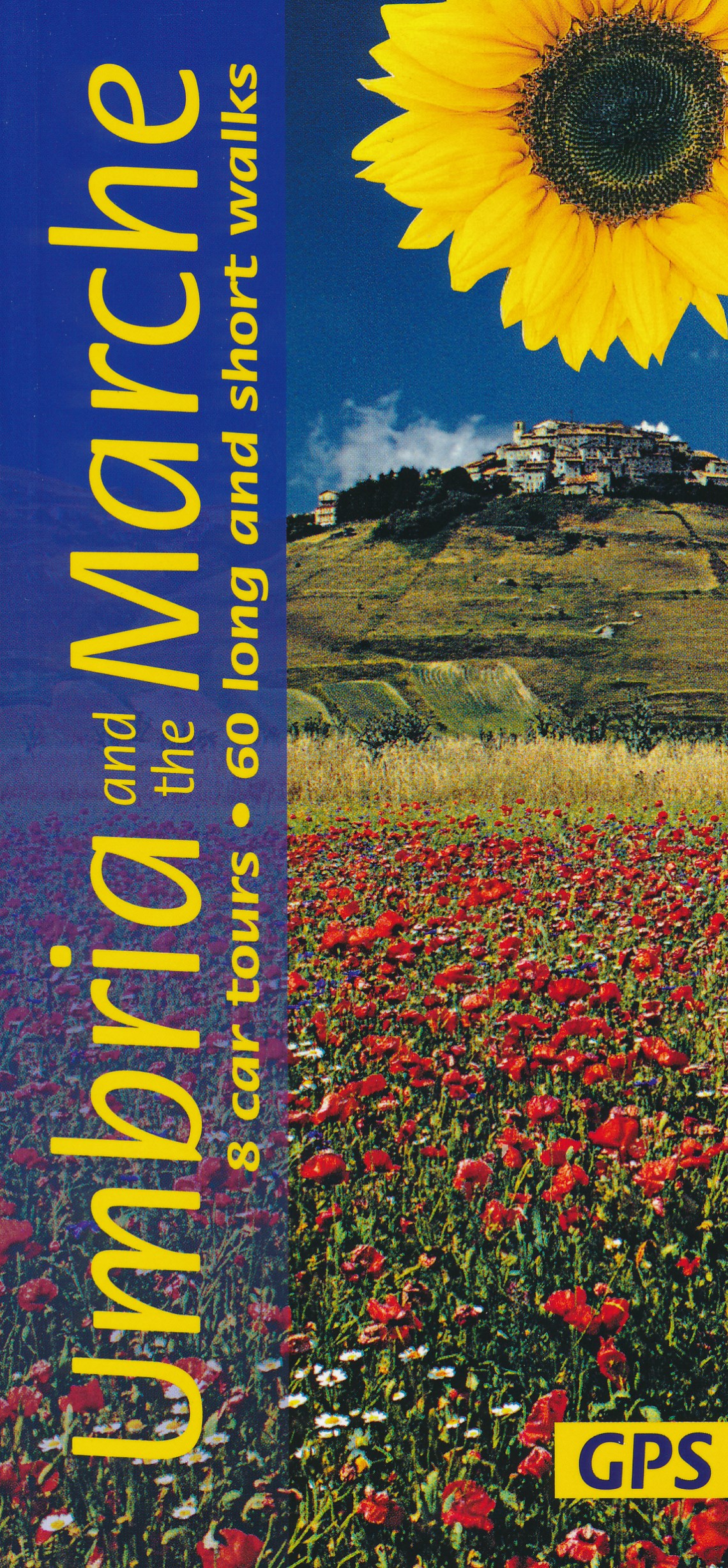
- Umbria and the Marche Sunflower Landscape Guide
- Umbria promotes itself as `Italy`s Green Heart`, and this description applies equally well to the lesser-known neighbouring region of the Marche. The main focal points of this guide are the two most beautiful areas of the Apennines in the region – the idyllic, deeply-etched valley of Valnerina in Umbria and the legendary Monti Sibillini which... Read more
De Zwerver
Netherlands
2021
Netherlands
2021
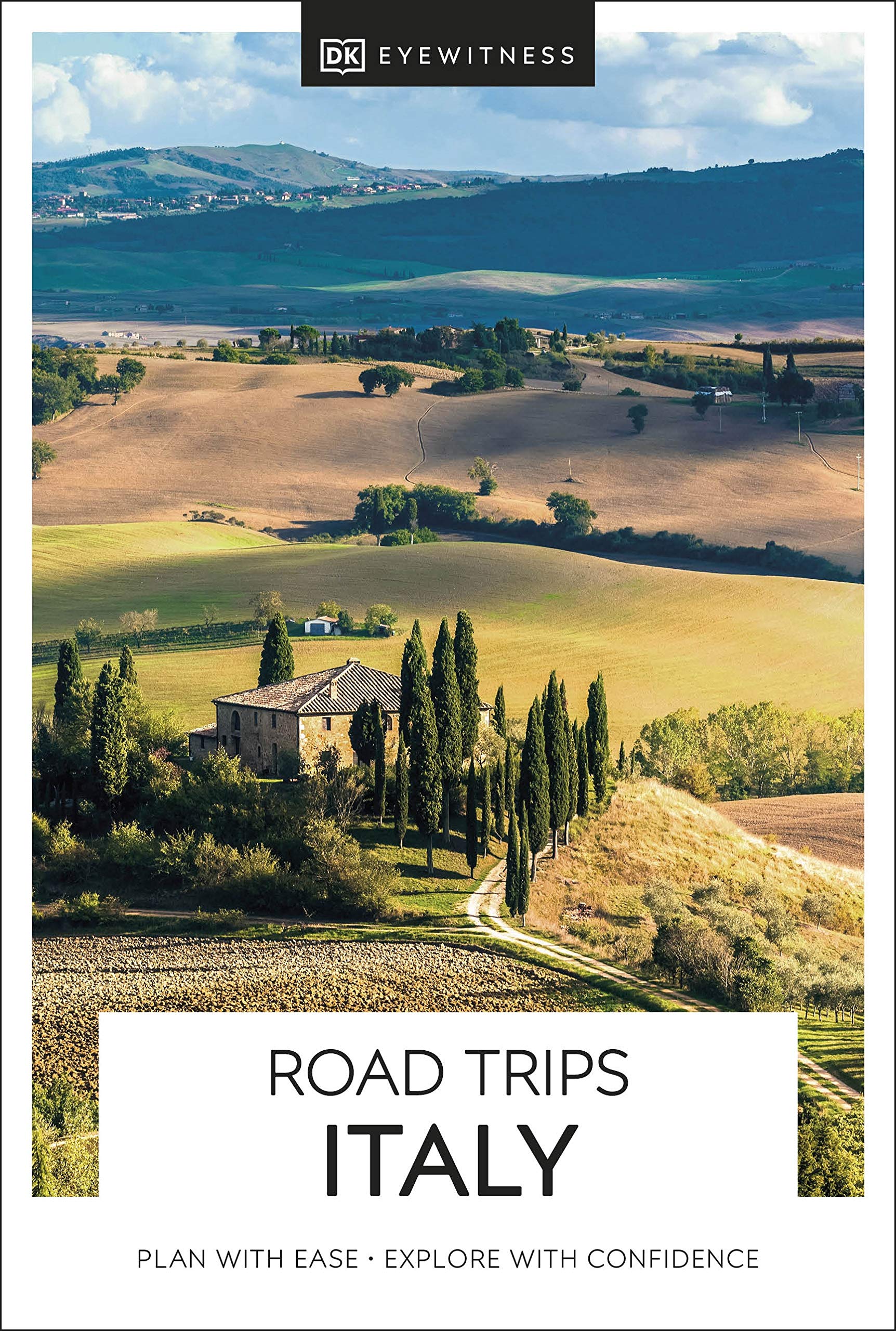
- Reisgids road trips Italy - Italië | Eyewitness
- Stretching from the snow-capped mountain ranges in the north to the sun-baked beaches and scirocco-scorched towns of the south, Italy is an ideal destination for a road trip. It`s yours to explore with Road Trips Italy, containing 24 wonderful drives across the country, from the quiet medieval town of Orta San Giulio and its island, Isola di... Read more
- Also available from:
- Stanfords, United Kingdom

Stanfords
United Kingdom
2021
United Kingdom
2021
- DK Eyewitness Road Trips Italy
- Stretching from the snow-capped mountain ranges in the north to the sun-baked beaches and scirocco-scorched towns of the south, Italy is an ideal destination for a road trip. It`s yours to explore with Road Trips Italy, containing 24 wonderful drives across the country, from the quiet medieval town of Orta San Giulio and its island, Isola di... Read more
De Zwerver
Netherlands
2021
Netherlands
2021
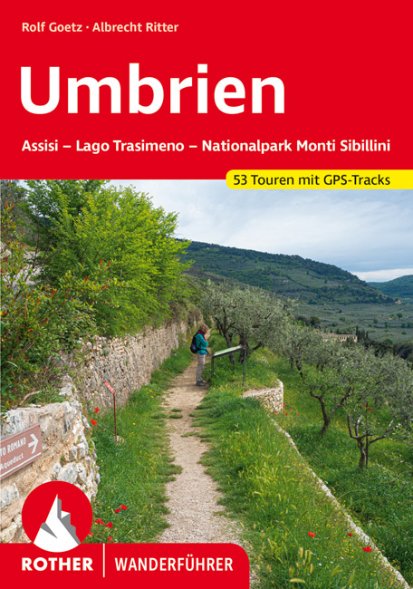
- Wandelgids 317 Umbrien - Umbrië | Rother Bergverlag
- Goede duitstalige wandelgids. Veel dagtochten, met gradaties en kleuren in zwaarte gerangschikt. Veel praktische informatie. Handzaam formaat. Ungeachtet der zentralen Lage im Städtedreieck Florenz, Ancona und Rom ist Umbrien eine Welt für sich, die schon gar nicht mit dem berühmten toskanischen Nachbarn in einen Topf geworfen werden will. Es... Read more
De Zwerver
Netherlands
2017
Netherlands
2017
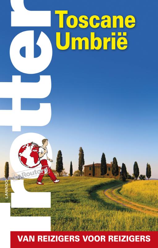
- Reisgids Trotter Toscane Umbrië | Lannoo
- Veel aandacht voor praktische informatie als hotels en restaurants, maar ook, soms wat beperkte beschrijvingen van bezienswaardigheden. Handig zijn de vele plattegronden: verrassend en verfrissend geschreven! -De no-nonsensegids voor een allesomvattende trip - Praktische en overzichtelijke gids voor de zelfstandige reiziger die weet wat hij... Read more
De Zwerver
Netherlands
2018
Netherlands
2018
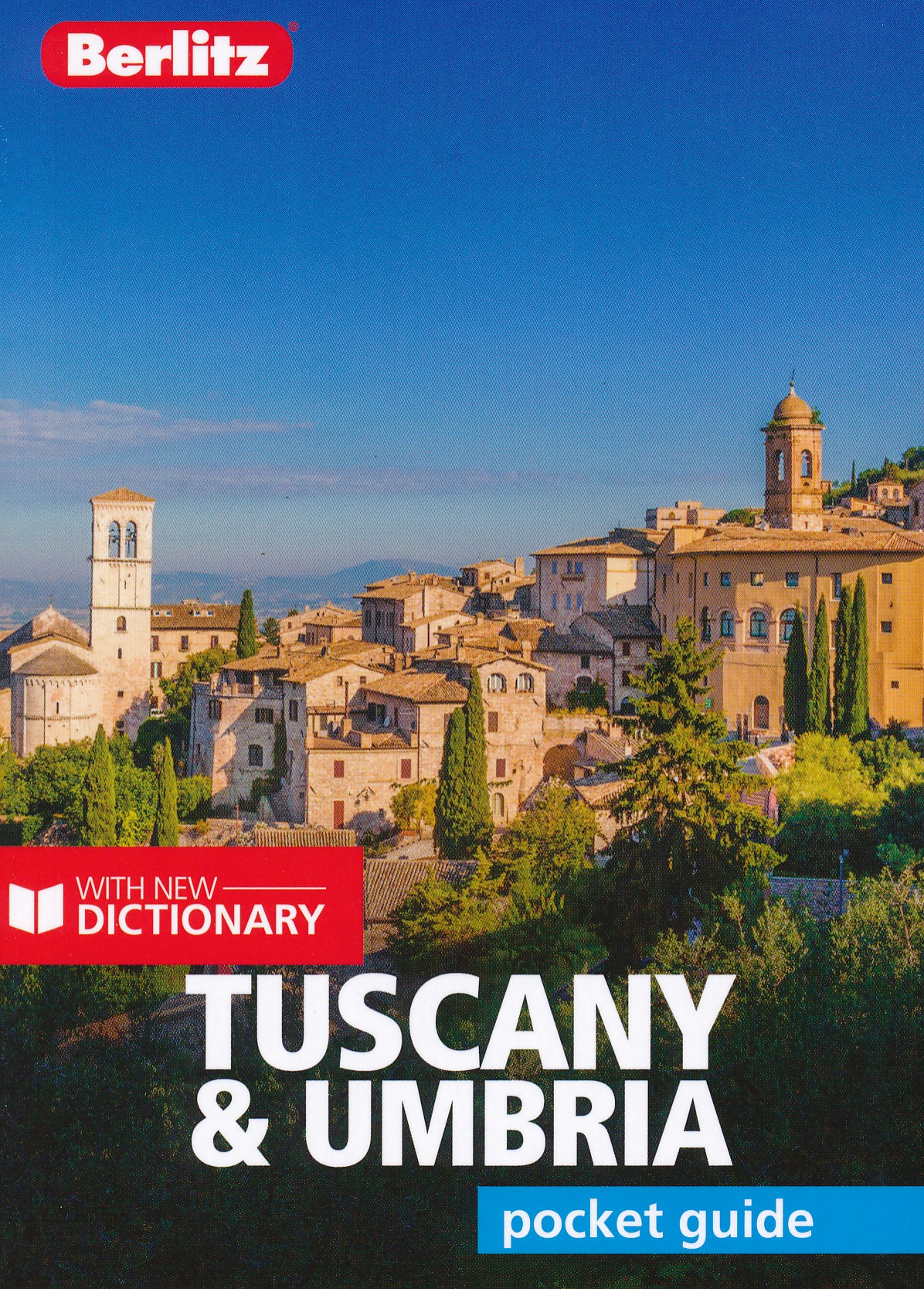
- Reisgids Pocket Guide Tuscany - Umbria, Toscane en Umbrie | Berlitz
- Toscane en Umbrie Pocket Guide Berlitz is een handzaam engelstalige reisgids met bezienswaardigheden, kaartjes, hotels en restaurants Berlitz Pocket Guide Tuscany and Umbria is a concise, full-colour travel guide that combines lively text with vivid photography to highlight the very best that this bountiful region has to offer, from its... Read more
De Zwerver
Netherlands
2021
Netherlands
2021
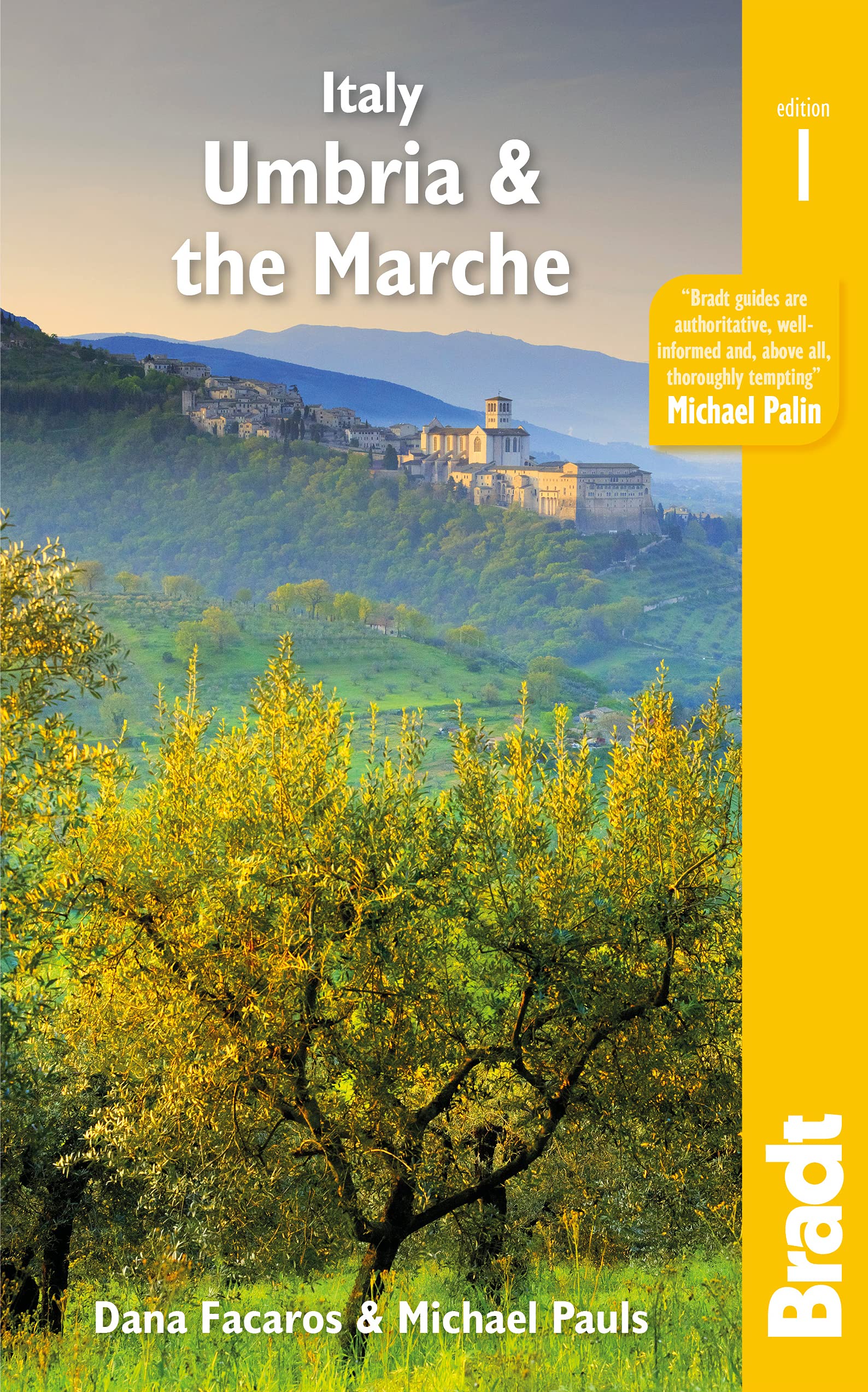
- Reisgids Italy: Umbria and the Marches | Bradt Travel Guides
- Bradt`s Umbria & the Marche is the most detailed guide to combine these two small central Italian regions, which offer all the beauty, history and culture of neighbouring Tuscany only without the crowds, the traffic or eye-popping prices. Dana Facaros and Michael Pauls (authors of the original Cadogan guide to the area) lived in Umbria in the... Read more
- Also available from:
- Stanfords, United Kingdom

Stanfords
United Kingdom
2021
United Kingdom
2021
- Italy: Umbria & The Marches
- Bradt`s Umbria & the Marche is the most detailed guide to combine these two small central Italian regions, which offer all the beauty, history and culture of neighbouring Tuscany only without the crowds, the traffic or eye-popping prices. Dana Facaros and Michael Pauls (authors of the original Cadogan guide to the area) lived in Umbria in the... Read more
De Zwerver
Netherlands
2012
Netherlands
2012
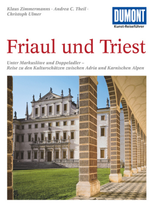
- Reisgids Kunstreiseführer Friaul und Triest | Dumont
- Das Thema dieses Kunst-Reiseführers ist die italienische Region Friaul- Julisch Venetien. Sie besteht aus zwei Provinzen, von denen das Friaul die weitaus größere ist. Julisch Venetien dagegen umfasst seit 1954 nur noch die Stadt Triest und einen kleinen Küstenstreifen bis Muggia. Wie ein Amphitheater liegt das Friaul im äußersten Nordosten... Read more
De Zwerver
Netherlands
2014
Netherlands
2014
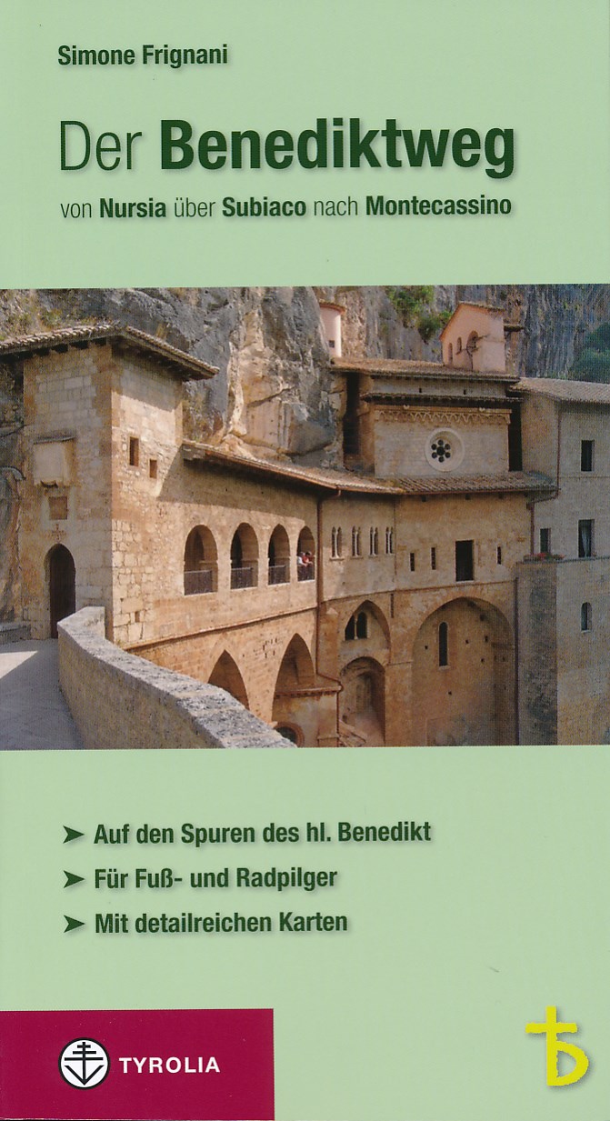
- Wandelgids - Pelgrimsroute Der Benediktweg - Lazio - Umbria | Tyrolia
- 300 km lange pelgrimstocht in de voetsporen van de heilige Benedictus - wandelgids en fietsgids over de pelgrimsroute, die de belangrijkste plekken waar Benedictus heeft geleefd met elkaar verbindt . De Benedictusweg voert door Lazio en Umbrië van Nursia via Subiaco naar Montecassino. Der Benediktweg von Nursia über Subiaco nach Montecassino.... Read more

De Zwerver
Netherlands
2022
Netherlands
2022
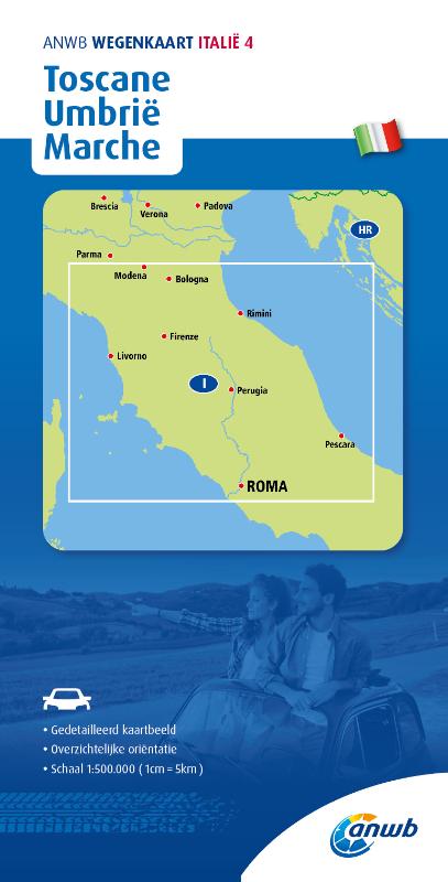
Kaarten
De Zwerver
Netherlands
2021
Netherlands
2021
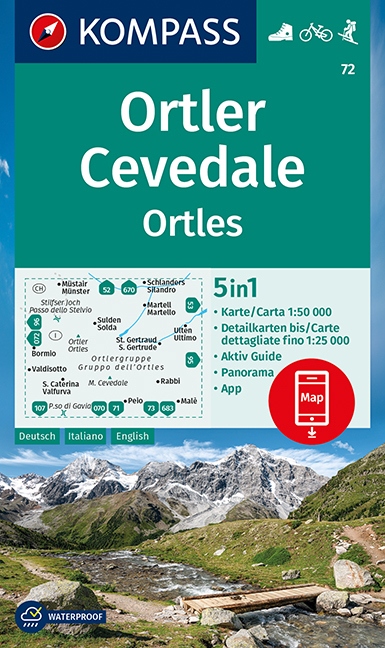
- Wandelkaart 72 Ortler/Ortles - Cevedale | Kompass
- Ortles/Ortler – Cevedale area of the Dolomites on a GPS compatible hiking and recreational map at 1:50,000 from Kompass with a panorama map on the reverse and printed on durable, waterproof and tear-resistant synthetic paper.KOMPASS HIKING MAPS OF ITALY:This title is part of an extensive series of walking maps from Kompass covering selected... Read more
- Also available from:
- Stanfords, United Kingdom

Stanfords
United Kingdom
2021
United Kingdom
2021
- Ortles / Ortler - Cevedale Kompass 72
- Ortles/Ortler – Cevedale area of the Dolomites on a GPS compatible hiking and recreational map at 1:50,000 from Kompass with a panorama map on the reverse and printed on durable, waterproof and tear-resistant synthetic paper.KOMPASS HIKING MAPS OF ITALY:This title is part of an extensive series of walking maps from Kompass covering selected... Read more

De Zwerver
Netherlands
Netherlands
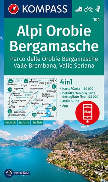
- Wandelkaart 104 Alpi Orobie Bergamasche, Parco delle Orobie Bergamasche, Valle Brembana, Valle Seriana | Kompass
- Alpi Orobie (Bergamasker Alps) between Bergamo and Sondrio including Lago d’Iseo, on a GPS compatible hiking and recreational map at 1:50,000 from Kompass, printed on durable, waterproof and tear-resistant synthetic paper.KOMPASS HIKING MAPS OF ITALY – TO SEE THE OTHER TITLES IN THIS SERIES PLEASE CLICK ON THE SERIES LINK. The series covers the... Read more
- Also available from:
- Stanfords, United Kingdom
Stanfords
United Kingdom
United Kingdom
- Alpi Orobie Bergamasche - Valle Brembana - Valle Seriana Kompass 104
- Alpi Orobie (Bergamasker Alps) between Bergamo and Sondrio including Lago d’Iseo, on a GPS compatible hiking and recreational map at 1:50,000 from Kompass, printed on durable, waterproof and tear-resistant synthetic paper.KOMPASS HIKING MAPS OF ITALY – TO SEE THE OTHER TITLES IN THIS SERIES PLEASE CLICK ON THE SERIES LINK. The series covers the... Read more
De Zwerver
Netherlands
Netherlands
De Zwerver
Netherlands
Netherlands
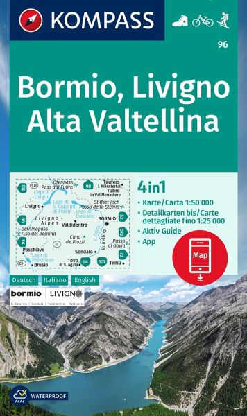
- Wandelkaart 96 Bormio - Livigno - Alta Valtellina | Kompass
- Map No. 96, Bormio - Livigno - Corna di Campo, from Kompass printed on sturdy, waterproof and tear-resistant synthetic paper in a series of walking maps of selected areas of Italy at 1:50,000, with hiking routes on a topographic base, various types of accommodation, recreational facilities, places of interest, etc. Kompass are Europe’s largest... Read more
- Also available from:
- Stanfords, United Kingdom

Stanfords
United Kingdom
United Kingdom
- Bormio - Livigno - Alta Valtellina Kompass 96
- Map No. 96, Bormio - Livigno - Corna di Campo, from Kompass printed on sturdy, waterproof and tear-resistant synthetic paper in a series of walking maps of selected areas of Italy at 1:50,000, with hiking routes on a topographic base, various types of accommodation, recreational facilities, places of interest, etc. Kompass are Europe’s largest... Read more
De Zwerver
Netherlands
2023
Netherlands
2023
De Zwerver
Netherlands
Netherlands
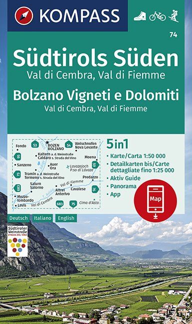
- Wandelkaart 74 Südtirols Süden - Bolzano Vigneti e Dolomiti | Kompass
- Map No. 74, Termeno/Tramin - Cavalese - with a panorama map on the reverse, from Kompass in a series of walking maps of selected areas of Italy at 1:50,000, with hiking routes on a topographic base, various types of accommodation, recreational facilities, places of interest, etc. Kompass are Europe’s largest publishers of walking maps, with... Read more
- Also available from:
- Stanfords, United Kingdom

Stanfords
United Kingdom
United Kingdom
- Bolzano Vignetei e Dolomiti / Southern South Tyrol Kompass 74
- Map No. 74, Termeno/Tramin - Cavalese - with a panorama map on the reverse, from Kompass in a series of walking maps of selected areas of Italy at 1:50,000, with hiking routes on a topographic base, various types of accommodation, recreational facilities, places of interest, etc. Kompass are Europe’s largest publishers of walking maps, with... Read more
De Zwerver
Netherlands
Netherlands
De Zwerver
Netherlands
Netherlands
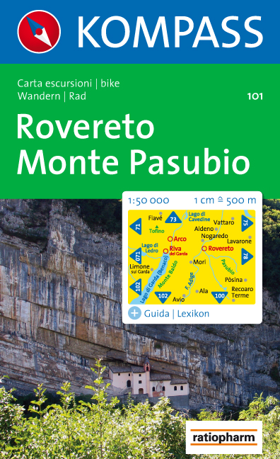
- Wandelkaart 101 Rovereto - Monte Pasubio | Kompass
- Map No. 101, Rovereto - Monte Pasubio, from Kompass in a series of walking maps of selected areas of Italy at 1:50,000, with hiking routes on a topographic base, various types of accommodation, recreational facilities, places of interest, etc. Kompass are Europe Read more
- Also available from:
- Stanfords, United Kingdom

Stanfords
United Kingdom
United Kingdom
- Rovereto - Monte Pasubio Kompass 101
- Map No. 101, Rovereto - Monte Pasubio, from Kompass in a series of walking maps of selected areas of Italy at 1:50,000, with hiking routes on a topographic base, various types of accommodation, recreational facilities, places of interest, etc. Kompass are Europe’s largest publishers of walking maps, with extensive coverage of hiking areas in... Read more
De Zwerver
Netherlands
Netherlands
- Also available from:
- Stanfords, United Kingdom

Stanfords
United Kingdom
United Kingdom
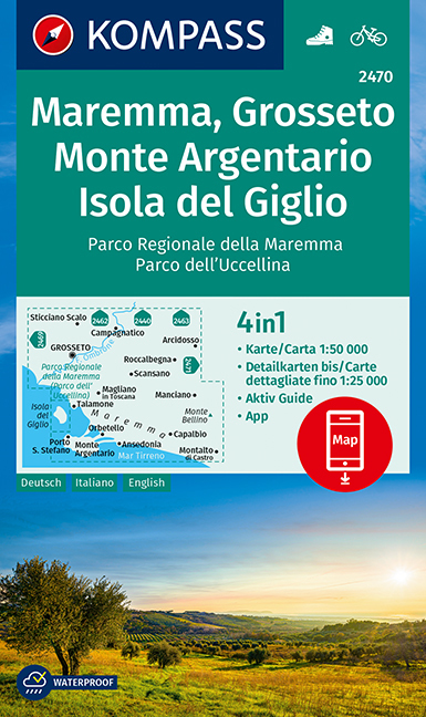
- Maremma - Grosseto - Monte Argentario - Isola di Giglio Kompass 2470
- Maremma - Grosseto - Monte Argentario - Isola di Giglio area on a double-sided map at 1:50,000 from Kompass, printed on durable, waterproof and tear-resistant synthetic paper. Coverage includes Parco Regionale della Maremma, Parco Naturale dell’Iccellina, Monte Bellino, etc. Contours are at 40m intervals, with a 2-km UTM grid. Extensive... Read more
De Zwerver
Netherlands
Netherlands
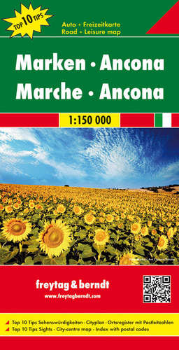
- Wegenkaart - landkaart 623 Marche - Marken - Ancona | Freytag & Berndt
- Marken - Ancona 1 : 150 000 ab 10.9 EURO Top 10 Tips Freytag & Berndt Autokarte Read more
De Zwerver
Netherlands
Netherlands
- Also available from:
- Stanfords, United Kingdom
Stanfords
United Kingdom
2021
United Kingdom
2021
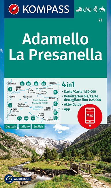
- Adamello - La Presanella Kompass 71
- Adamello - La Presanella area just north of Lake Garda on a GPS compatible hiking and recreational map at 1:50,000 from Kompass, printed on durable, waterproof and tear-resistant synthetic paper. KOMPASS HIKING MAPS OF ITALY: this title is part of an extensive series of walking maps from Kompass covering selected areas of Italy at mainly... Read more
De Zwerver
Netherlands
Netherlands
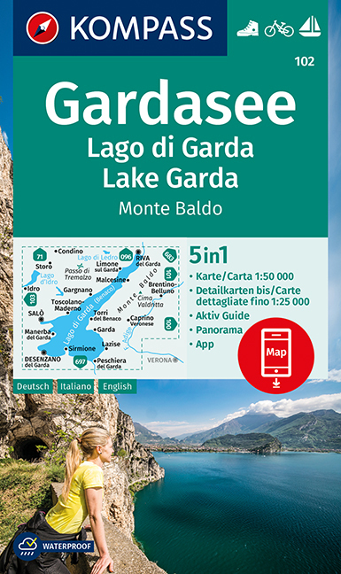
- Wandelkaart 102 Gardasee - Lago di Garda - Lake Garda | Kompass
- Lake Garda and the surrounding mountain on a waterproof and tear-resistant, contoured and GPS compatible map at 1:50,000 from Kompass with hiking and cycling trails, plus on the reverse a panorama map of the area, street plans of central Verona, Riva del Garda and Peschiera, and extensive English language to the area. Contours are at 40m... Read more
- Also available from:
- Stanfords, United Kingdom
Stanfords
United Kingdom
United Kingdom
- Lake Garda - Monte Baldo Kompass 102
- Lake Garda and the surrounding mountain on a waterproof and tear-resistant, contoured and GPS compatible map at 1:50,000 from Kompass with hiking and cycling trails, plus on the reverse a panorama map of the area, street plans of central Verona, Riva del Garda and Peschiera, and extensive English language to the area. Contours are at 40m... Read more
Meer kaarten…