
Blefjell
Beschrijving

Blefjell is a southeastern spur of the Hardangervidda. In eight days you can walk south, starting in Immingfjell and ending in the town of Kongsberg where the trail ends. In between you will pass three unstaffed huts, two self-service cabins where you can buy food, and a private cabin.
The vegetation is rather sparse, as a consequence of the poor quartzite soil. As you progress south, following the crest of the Blefjell range, the mountains get lower. Halfway, Blefjell peak itself arises above the landscape to 1351 meters.
Kaart

Links
Feiten
Verslagen
Gidsen en kaarten
Overnachting
Organisaties
Reisorganisaties
GPS
Anders
Kaarten
De Zwerver
Netherlands
Netherlands
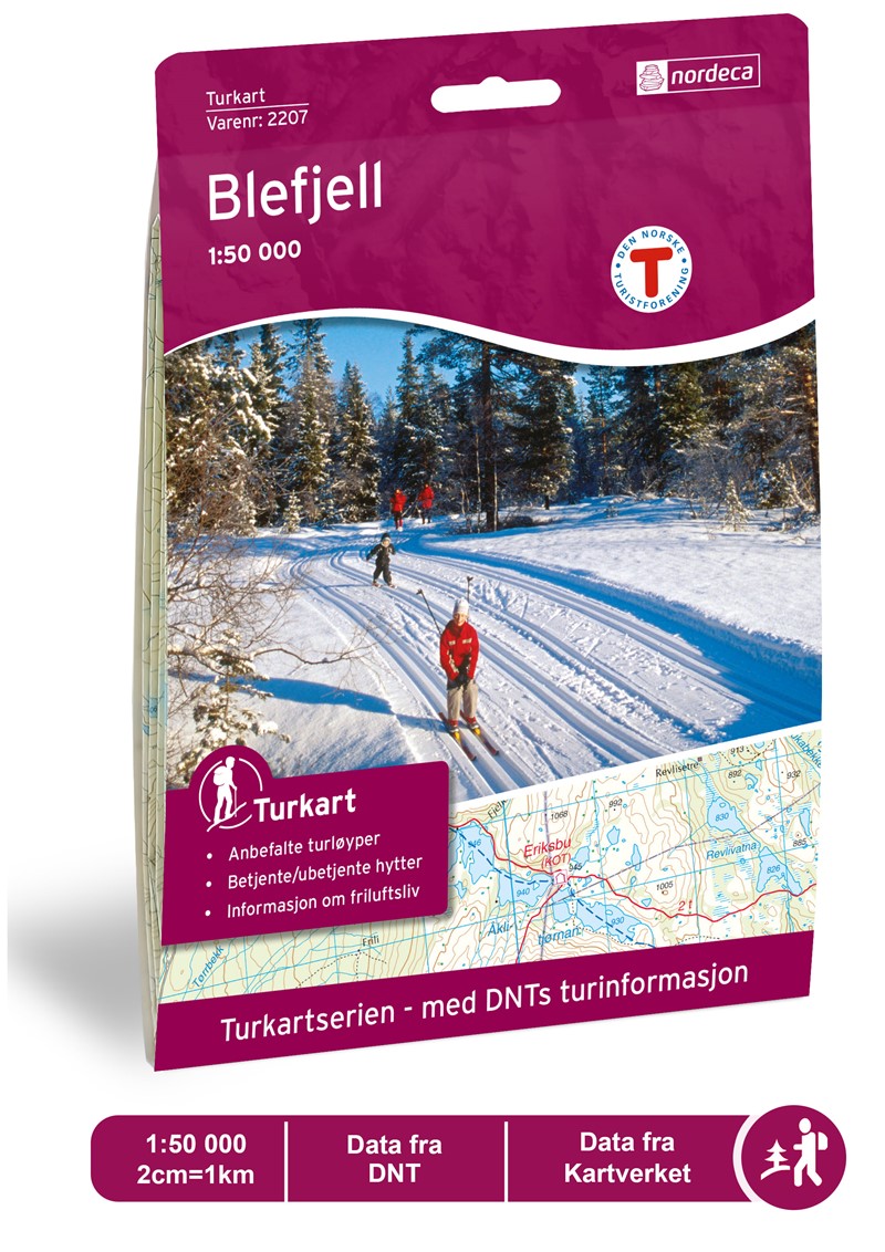
- Wandelkaart 2207 Turkart Blefjell | Nordeca
- Gebied: Blefjell og Vegglifjell Uitstekende wandelkaart van een deel van Noorwegen. De Noren zelf gebruiken deze kaarten ook voor hun wandeltochten in de berggebieden. Afhankelijk van de moeilijkheidsgraad van het gebied voldoet een 1:25.000, 1:50.000 of 1:100.000 kaart. Alle noodzakelijke informatie vind je er op terug: bemande en onbemande... Read more

Stanfords
United Kingdom
United Kingdom
- Blefjell Nordeca 2207
- Blefjell area in Norway in a series of GPS compatible recreational Turkart maps at 1:50,000 with cartography from Norway’s topographic survey and additional tourist information. Contours lines are drawn at 20m intervals. The overprint varies from title to title, but includes local footpaths, in some cases distinguishing between easy and more... Read more