
Lofoten Isles
Beschrijving

The sight of the Lofoten isles is well known: wild and jagged peaks rising out of the blue waters, behind the colourful houses of a picturesque fishing hamlet. It is said that if the sea water would rise to the foot of the Aiguilles du Midi, one would get a characteristic view of the Lofoten peaks.
The rock material of these islands is very old, and often volcanic in origin. During the ice age, the glaciers thoroughly polished the mountains, resulting in smooth rock faces. Rock climbers love these islands. Hiking is a bit more awkward, since there are few marked trails, and only a few bunkhouses.
To get to these islands is actually not as difficult as one would think. Take the E10 from Narvik, and you will be able to drive via dams and bridges to the southernmost island. Smaller islands, like Vaerøy still further south, can only be reached by boat.
Kaart

Links
Feiten
Verslagen
Gidsen en kaarten
Overnachting
Organisaties
Reisorganisaties
GPS
Anders
Boeken
Netherlands
2024
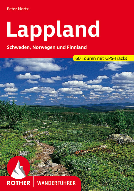
- Wandelgids Lappland - Lapland | Rother Bergverlag
- Uitstekende wandelgids met een groot aantal dagtochten in dal en hooggebergte. Met praktische informatie en beperkt kaartmateriaal! Wandelingen in verschillende zwaarte weergegeven in rood/blauw/zwart. Lappland ist die Heimat des Urvolkes der Samis, der Rentiere, der Fjälls, der Bären sowie eines unermesslichen Reichtums an Natur. Die Region,... Read more
Netherlands
2017
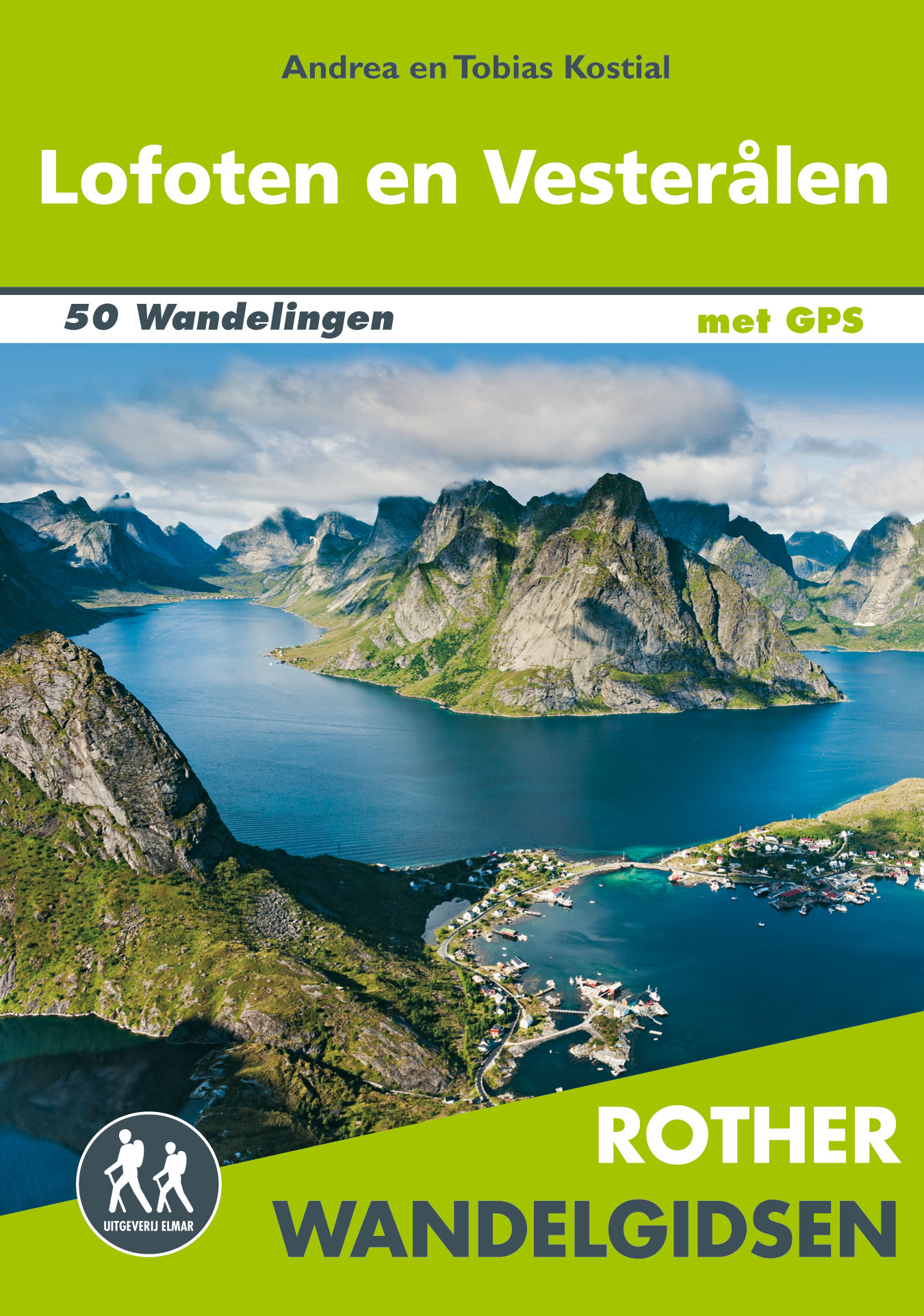
- Wandelgids Lofoten en Vesterålen | Uitgeverij Elmar
- De Rother wandelgids Lofoten en de Vesterålen beschrijft de 50 mooiste kustwandelingen en uitzichtrijke bergtochten: wandelen in het licht van de middernachtzon op de archipels van de Lofoten en de Vesterålen. Zoals gebruikelijk zijn er verschillende wandelingen voor beginnende en ervaren wandelaars en is er onmisbare informatie over de streek,... Read more

Netherlands
2023
Netherlands
2018
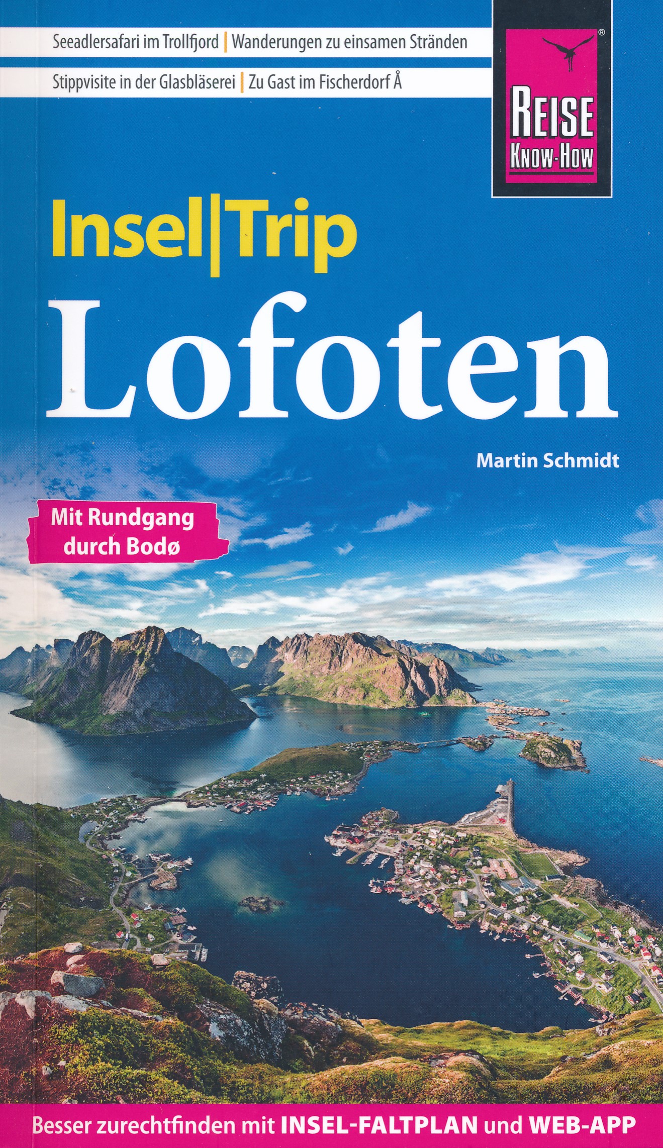
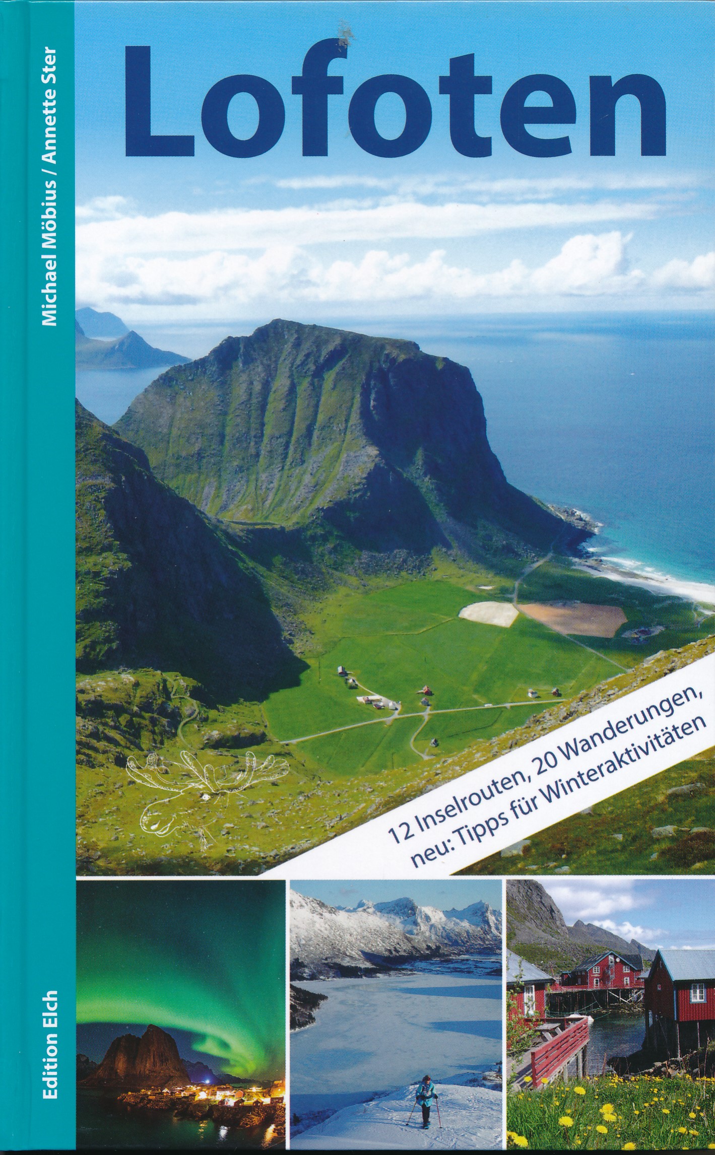
- Reisgids Lofoten | Edition Elch
- De meest uitgebreide reisgids die er bestaat over de Lofoten, duitstalig. Met informatie over de geologie, het klimaat, het bijzondere lichtspel, de flora en fauna, visvangst, kunst e.d. Tevens met 12 eilandroutes per auto en 14 wandelroutes, en informatie over allerlei buitensporten en praktische zaken als accomodaties, restaurants, transport,... Read more
Netherlands
- Rough Water Handling
- Rough Water Handling by Doug Cooper is a practical guide that will help you to master the skills needed to manoeuvre a sea kayak efficiently in rough water and advanced conditions. For intermediate and advanced paddlers, Doug draws on his personal and coaching experience to help the reader master sea kayak handling skills and techniques.... Read more
- Also available from:
- Bol.com, Belgium
Belgium
- Rough Water Handling
- Rough Water Handling by Doug Cooper is a practical guide that will help you to master the skills needed to manoeuvre a sea kayak efficiently in rough water and advanced conditions. For intermediate and advanced paddlers, Doug draws on his personal and coaching experience to help the reader master sea kayak handling skills and techniques.... Read more
Netherlands
- Majestic Norway
- Majestic Norway is a book about my travel experiences during two separate trips to Norway, with my wife Pat. We first visited Oslo, the capitol city of Norway, in May 2012, as part of the itinerary on a P&O Baltic cruise, on-board the cruise ship MV Azura .Our second visit took place in 2014, with another P&O cruise, this time, sailing on the... Read more
- Also available from:
- Bol.com, Belgium
Belgium
- Majestic Norway
- Majestic Norway is a book about my travel experiences during two separate trips to Norway, with my wife Pat. We first visited Oslo, the capitol city of Norway, in May 2012, as part of the itinerary on a P&O Baltic cruise, on-board the cruise ship MV Azura .Our second visit took place in 2014, with another P&O cruise, this time, sailing on the... Read more
Netherlands
- Mit dem Wohnmobil nach Norwegen 02. Der Norden
- Tourenkarten: ber 8000 km Nord-Norwegen in 15 Touren (rot markiert) zu den bekanntesten und vielen unbekannten Sehensw rdigkeiten. Genaue Markierung vieler Stell-, Bade-, Picknick- und Wanderparkpl tze, Toiletten, Ver- und Entsorgungsstationen, Trinkwasserstellen sowie der sch nsten Campingpl tze. Natur erleben, wandern: Abstecher zu fast... Read more
- Also available from:
- Bol.com, Belgium
Belgium
- Mit dem Wohnmobil nach Norwegen 02. Der Norden
- Tourenkarten: ber 8000 km Nord-Norwegen in 15 Touren (rot markiert) zu den bekanntesten und vielen unbekannten Sehensw rdigkeiten. Genaue Markierung vieler Stell-, Bade-, Picknick- und Wanderparkpl tze, Toiletten, Ver- und Entsorgungsstationen, Trinkwasserstellen sowie der sch nsten Campingpl tze. Natur erleben, wandern: Abstecher zu fast... Read more

United Kingdom
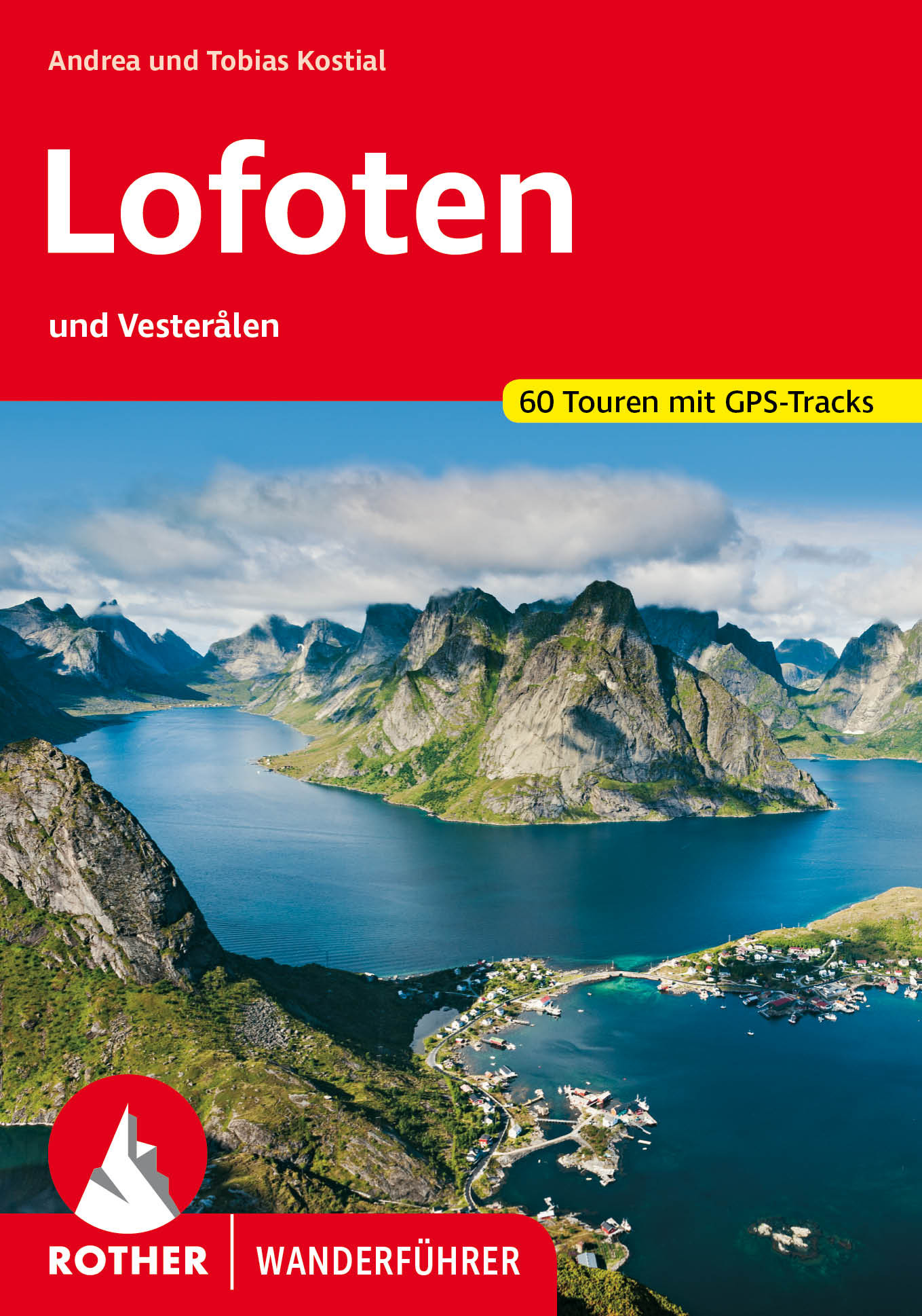
- Lofoten and Vesterålen Rother Guide
- Deeply cut fjords, white sandy beaches and spectacular mountain landscapes: the Lofoten are islands of extreme Nordic beauty. A paradise for walkers who will find remote paths here and be rewarded with fantastic views. The Rother walking guide `Lofoten and Vesteralen` introduces the 60 most beautiful walks north of the Arctic Circle.The choice... Read more
Kaarten
Netherlands
2013
- Wandelkaart - Wegenkaart - landkaart Lofoten & Værøy | Projekt Nord
- Lofoten Islands on a GPS compatible map at 1:100,000 from ProjektNord, with a vivid presentation of the islands Read more
- Also available from:
- Stanfords, United Kingdom

United Kingdom
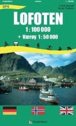
2013
- Lofoten - Vaeroy
- Lofoten Islands on a GPS compatible map at 1:100,000 from ProjektNord, with a vivid presentation of the islands’ topography, plenty of tourist information, plus an enlargement showing Værøy in greater detail at 1:50,000. The map presents the whole of the Lofoten archipelago at 1:100,000 with Værøy plus Røst and the southernmost islands on... Read more
Netherlands
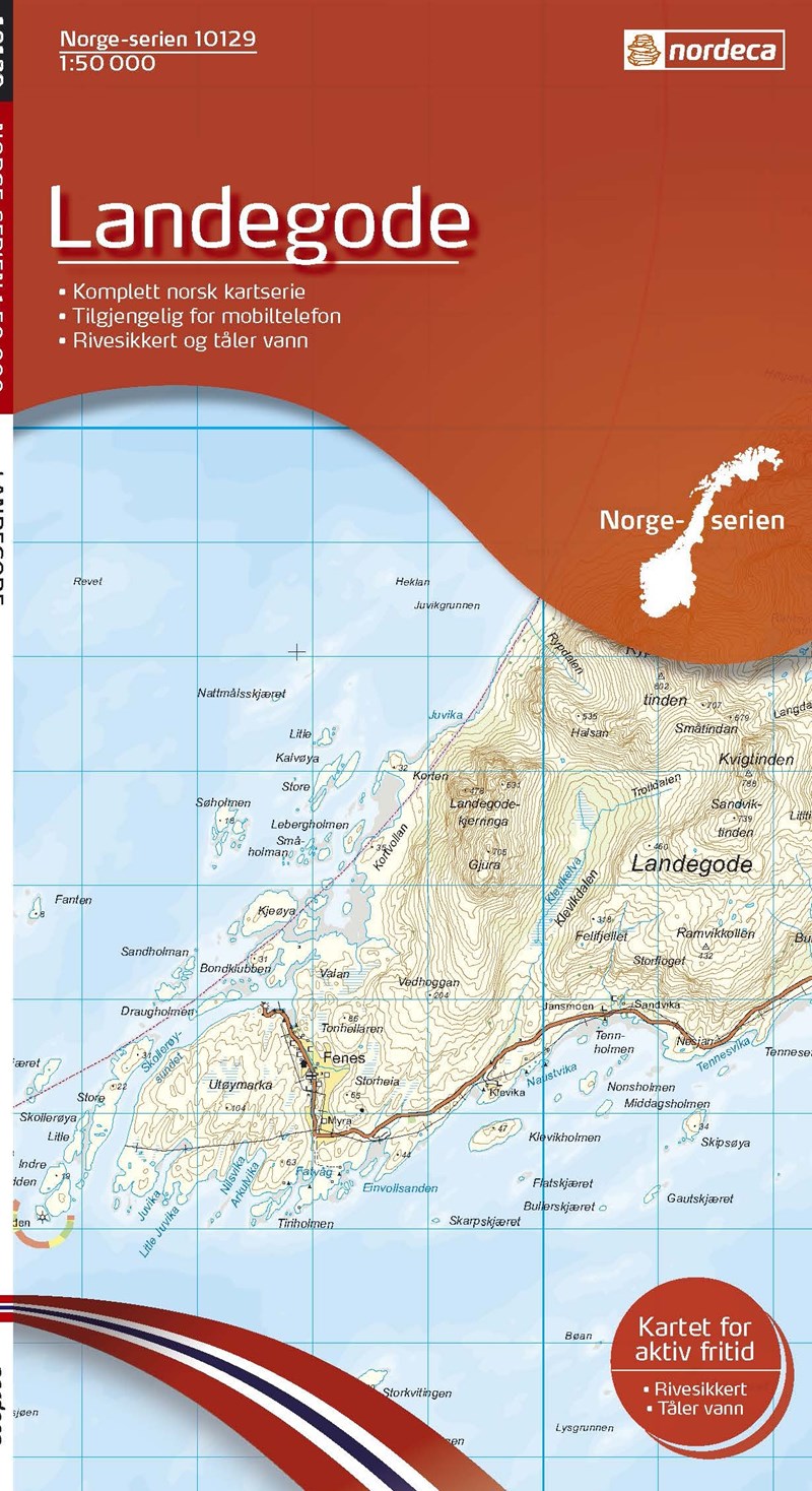
- Wandelkaart - Topografische kaart 10129 Norge Serien Landegode | Nordeca
- Een compleet nieuwe serie topografische kaarten voor Noorwegen 1:50 000. Het heeft een moderne cartografie, ontwikkeld voor het actieve buitenleven. Deze kaarten zijn ideaal voor wandel-en recreatief gebruik in de bergen, bossen, langs de kust en voor de jacht en de visserij. Voor professionele organisaties bieden de kaarten de nodige kennis... Read more
Netherlands
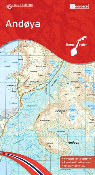
- Wandelkaart - Topografische kaart 10146 Norge Serien Andøya | Nordeca
- Een compleet nieuwe serie topografische kaarten voor Noorwegen 1:50 000. Het heeft een moderne cartografie, ontwikkeld voor het actieve buitenleven. Deze kaarten zijn ideaal voor wandel-en recreatief gebruik in de bergen, bossen, langs de kust en voor de jacht en de visserij. Voor professionele organisaties bieden de kaarten de nodige kennis... Read more
Netherlands
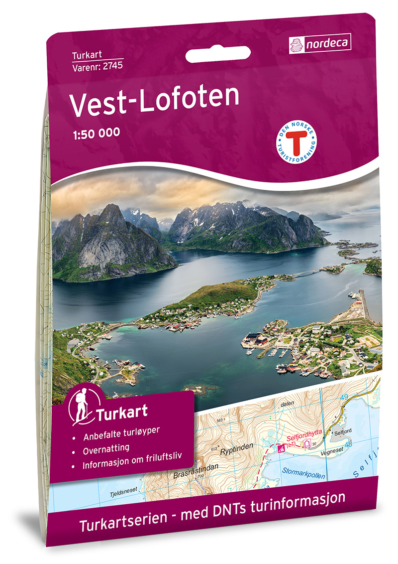
- Wandelkaart 2745 Turkart Vest-Lofoten - West Lofoten | Nordeca
- Gebied: West en Zuidelijk Lofoten Uitstekende wandelkaart van een deel van Noorwegen. De Noren zelf gebruiken deze kaarten ook voor hun wandeltochten in de berggebieden. Afhankelijk van de moeilijkheidsgraad van het gebied voldoet een 1:25.000, 1:50.000 of 1:100.000 kaart. Alle noodzakelijke informatie vind je er op terug: bemande en onbemande... Read more
Netherlands
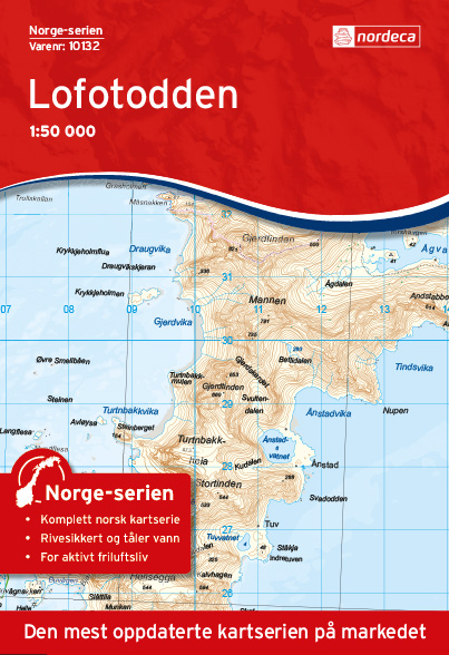
- Wandelkaart - Topografische kaart 10132 Norge Serien Lofotodden | Nordeca
- Een compleet nieuwe serie topografische kaarten voor Noorwegen 1:50 000. Het heeft een moderne cartografie, ontwikkeld voor het actieve buitenleven. Deze kaarten zijn ideaal voor wandel-en recreatief gebruik in de bergen, bossen, langs de kust en voor de jacht en de visserij. Voor professionele organisaties bieden de kaarten de nodige kennis... Read more
Netherlands
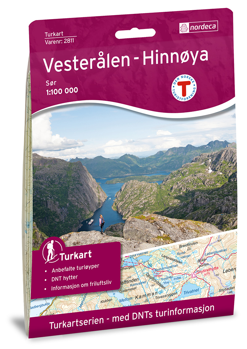
- Wandelkaart 2811 Turkart Vesterålen Hinnøya Sør | Nordeca
- Uitstekende wandelkaart van een deel van Noorwegen. De Noren zelf gebruiken deze kaarten ook voor hun wandeltochten in de berggebieden. Afhankelijk van de moeilijkheidsgraad van het gebied voldoet een 1:25.000, 1:50.000 of 1:100.000 kaart. Alle noodzakelijke informatie vind je er op terug: bemande en onbemande hutten, campings,... Read more
Netherlands
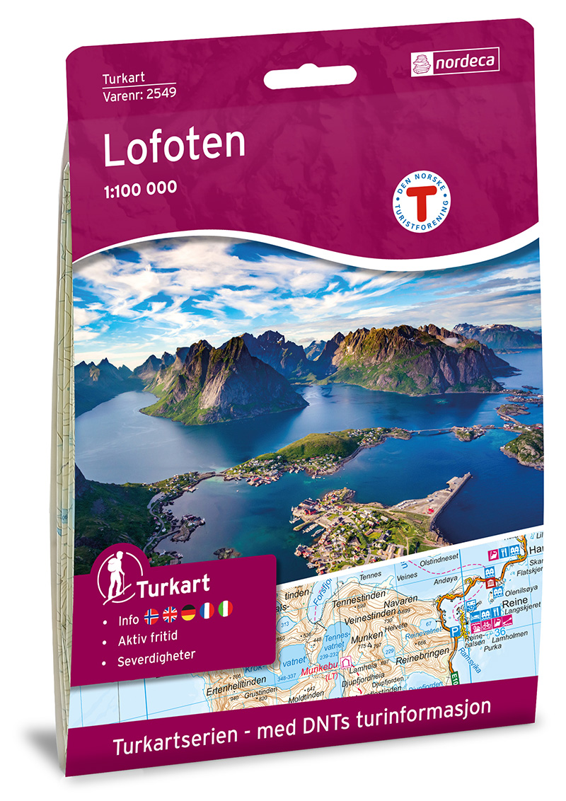
- Wandelkaart 2549 Turkart Lofoten | Nordeca
- Gebied: Lofoten, Vågan; Hadsel, Moskenes, Værøy; Steigen, Røst; Flakstad, Vestvågøy; Lødingen Uitstekende wandelkaart van een deel van Noorwegen. De Noren zelf gebruiken deze kaarten ook voor hun wandeltochten in de berggebieden. Afhankelijk van de moeilijkheidsgraad van het gebied voldoet een 1:25.000, 1:50.000 of 1:100.000 kaart. Alle... Read more
Netherlands
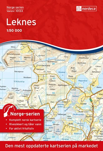
- Wandelkaart - Topografische kaart 10133 Norge Serien Leknes | Nordeca
- Een compleet nieuwe serie topografische kaarten voor Noorwegen 1:50 000. Het heeft een moderne cartografie, ontwikkeld voor het actieve buitenleven. Deze kaarten zijn ideaal voor wandel-en recreatief gebruik in de bergen, bossen, langs de kust en voor de jacht en de visserij. Voor professionele organisaties bieden de kaarten de nodige kennis... Read more
Netherlands
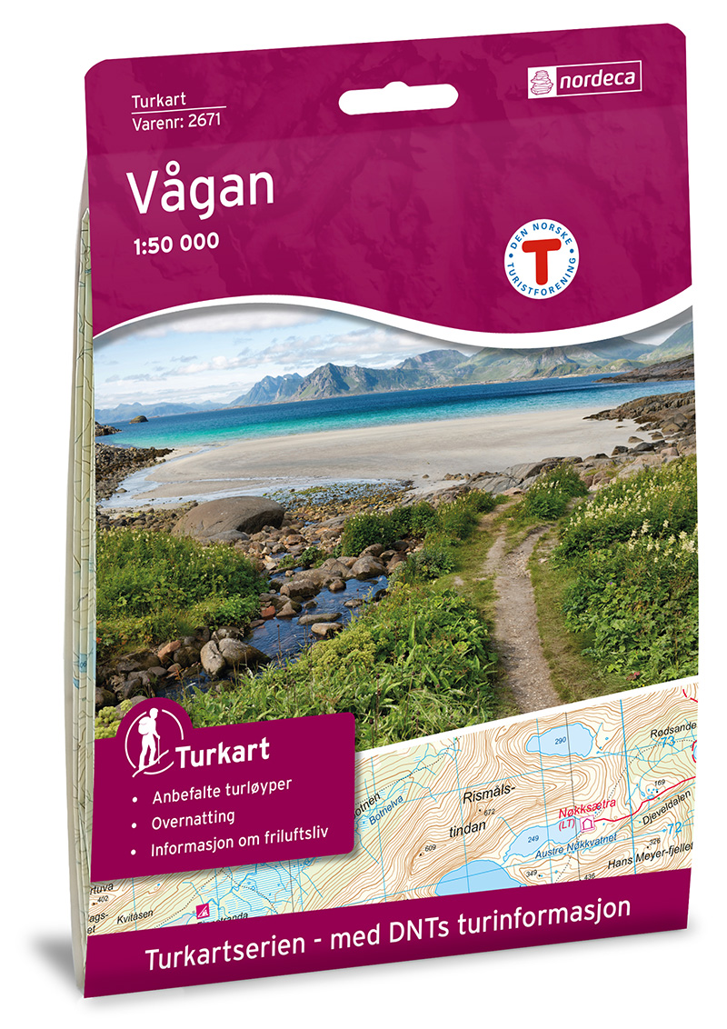
- Wandelkaart 2671 Turkart Vågan | Nordeca
- Gebied: Lofoten, Vesterålen og Hinnøya Uitstekende wandelkaart van een deel van Noorwegen. De Noren zelf gebruiken deze kaarten ook voor hun wandeltochten in de berggebieden. Afhankelijk van de moeilijkheidsgraad van het gebied voldoet een 1:25.000, 1:50.000 of 1:100.000 kaart. Alle noodzakelijke informatie vind je er op terug: bemande en... Read more
Netherlands
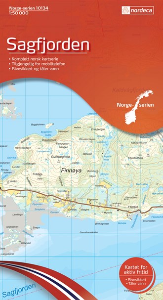
- Wandelkaart - Topografische kaart 10134 Norge Serien Sagfjorden | Nordeca
- Een compleet nieuwe serie topografische kaarten voor Noorwegen 1:50 000. Het heeft een moderne cartografie, ontwikkeld voor het actieve buitenleven. Deze kaarten zijn ideaal voor wandel-en recreatief gebruik in de bergen, bossen, langs de kust en voor de jacht en de visserij. Voor professionele organisaties bieden de kaarten de nodige kennis... Read more
Netherlands
2023
Netherlands
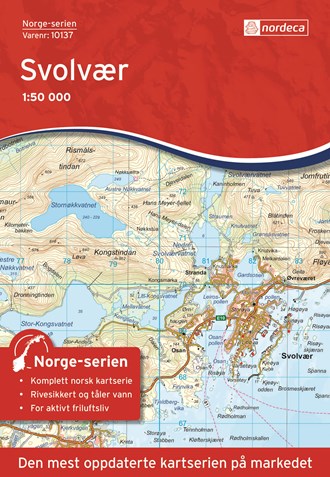
- Wandelkaart - Topografische kaart 10137 Norge Serien Svolvær - Svolvaer | Nordeca
- Een compleet nieuwe serie topografische kaarten voor Noorwegen 1:50 000. Het heeft een moderne cartografie, ontwikkeld voor het actieve buitenleven. Deze kaarten zijn ideaal voor wandel-en recreatief gebruik in de bergen, bossen, langs de kust en voor de jacht en de visserij. Voor professionele organisaties bieden de kaarten de nodige kennis... Read more