
Skarvheimen
Beschrijving

Between Jotunheimen and the Hardangervidda lies a large and mountainous region which in recent years got the name Skarvheimen. You will find other names as well, like Filefjell. This is an area of wild mountains and deep valleys in the west, and more gentle plateaus in the east.
Most hikers will know this area because of the popular trail connecting Finse and Aurland through the Aurlandsdal valley. Another popular destination is the Hallingskarvet ridge (1933 m) that can be reached from the Bergen railway. Elsewhere, there are high mountains. The Filefjell plateau reaches 1920 m (Juklegga). Around the beautiful Hemsedal valley are fine mountains as well.
Apart from the popular Aurlandsdal hike, there is a very good connection between Hardangervidda and Jotunheimen. This walk starts in the little hamlet of Haugastøl on the border of the Ustevatn lake, and runs north to the huts Sulebu and Slettningsbu. Total time is seven days.
Kaart

Links
Feiten
Verslagen
Gidsen en kaarten
Overnachting
Organisaties
Reisorganisaties
GPS
Anders
Kaarten
Netherlands
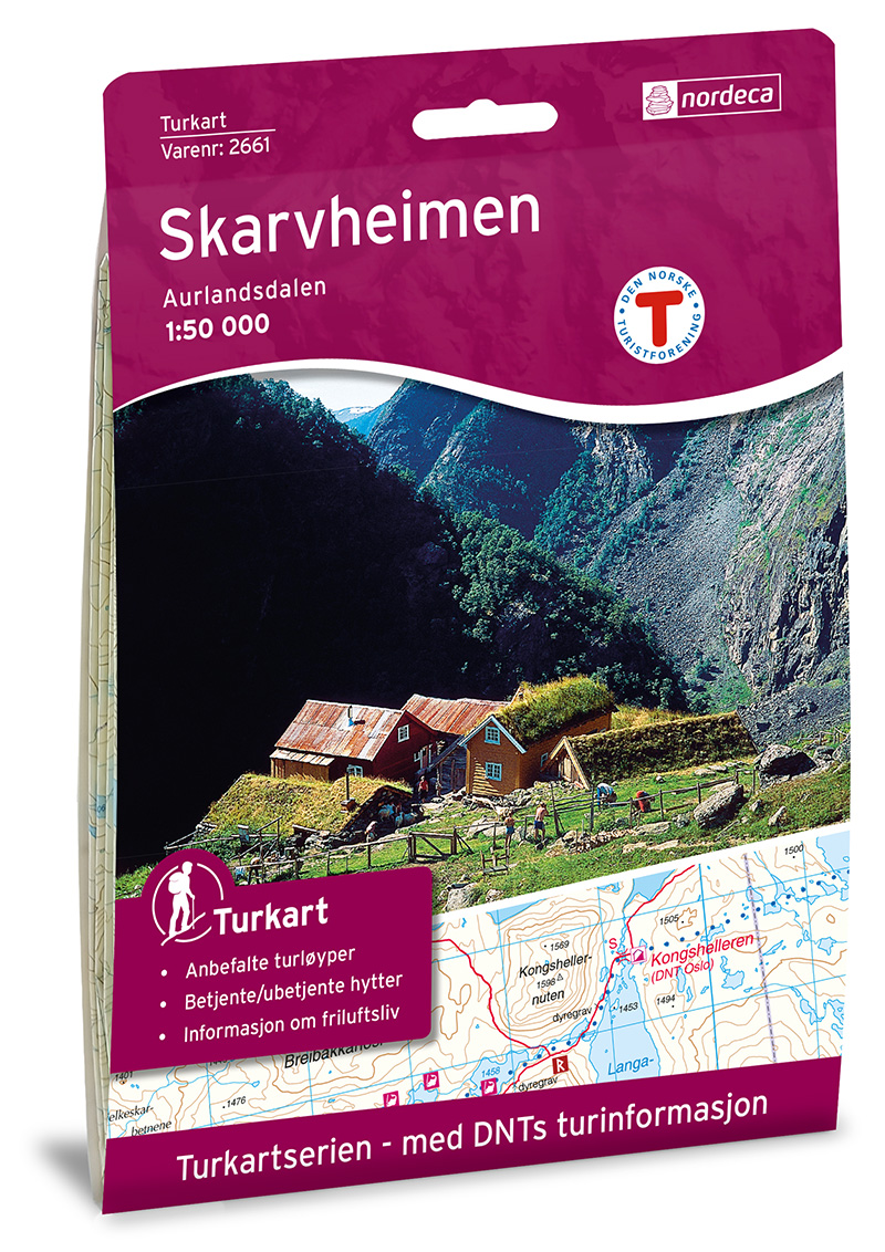
- Wandelkaart 2661 Turkart Skarvheimen | Nordeca
- Uitstekende wandelkaart van een deel van Noorwegen. De Noren zelf gebruiken deze kaarten ook voor hun wandeltochten in de berggebieden. Afhankelijk van de moeilijkheidsgraad van het gebied voldoet een 1:25.000, 1:50.000 of 1:100.000 kaart. Alle noodzakelijke informatie vind je er op terug: bemande en onbemande hutten, campings,... Read more
Netherlands
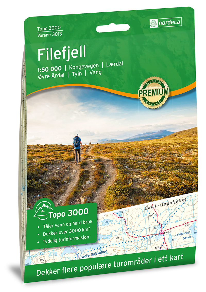
- Wandelkaart 3013 Topo 3000 Filefjell | Nordeca
- Een nieuwe serie van Nordeca. Een grote kaart op scheurvast papier. Het heldere kaartbeeld wat we van de andere series ook kennen is hier gebruikt wat de kaart goed leesbaar maakt. Topo 3000 is a detailed map covering an area of 64 x 47 km (over 3000 km2) Here you will find the hiking routes easily, over the mountains, through the forest and... Read more


United Kingdom
- Skarvheimen Nordeca 2661
- Skarvheimen area in Norway in a series of GPS compatible recreational maps at 1:50,000 with cartography from Norway’s topographic survey and additional tourist information. Contours lines are drawn at 20m intervals. The overprint varies from title to title, but includes local footpaths, in some cases distinguishing between easy and more... Read more