
Sulitjelma
Beschrijving

Sulitjelma is a mountain range in north Norway, east of the city of Bodø. This mountain range was mined for cupper up till the 90's, forming a community of 2.000 people. Now, the mountains, rising to 1900 meters, and the glaciers in between form again a desolate landscape, difficult to explore.
Most of the hiking is done in the mountain plateau to the south, the Sulitjelmafjellene. Here, also, mountain ranges and deep valleys cut through the plains, and there is no monotony. The open and barren landscape evolves gradually while walking.
If you come from the south, you will have passed the Saltfjellet, the mountains of Rana and the Okstindan mountain range. If you want to continue north, the village of Sulitjelma just south of the main Sulitjelma mountain range is the starting point for another long adventure: the Nordkalottleden, running north to Kautokeino for 800 km, switching between the nordic countries Finland, Sweden and Norway.
Back to the Sulitjelmafjellene: you will find a network of marked trails and some ten little DNT mountain huts. You will have plenty of opportunity to feel alone in this vast, empty landscape.
Kaart

Paden in deze regio


")


Links
Feiten
Verslagen
Gidsen en kaarten
Overnachting
Organisaties
Reisorganisaties
GPS
Anders
Boeken

Netherlands
2010
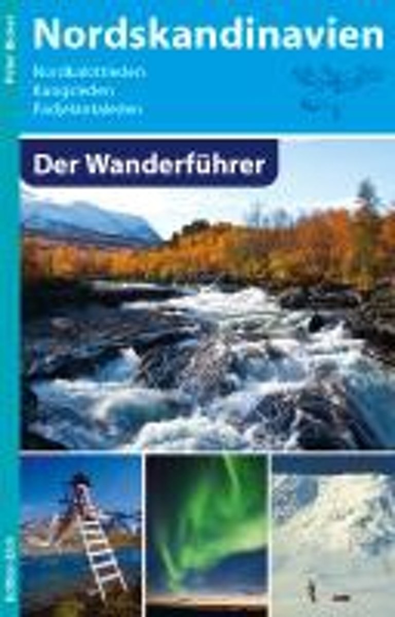
- Nordskandinavien - Der Wanderführer
- Aktualisierte und erweiterte Neuauflage: Dieses Buch enthält die erste vollständige Beschreibung des 1993 eingeweihten, sehr populären Nordkalottleden. 800 Kilometer führt dieser schönste und längste Wanderweg Nordskandinaviens durch die Berge Norwegens, Schwedens und Finnlands, überquert dabei 15 Mal die Grenzen und führt auch über den... Read more
- Also available from:
- Bol.com, Belgium
Belgium
2010
- Nordskandinavien - Der Wanderführer
- Aktualisierte und erweiterte Neuauflage: Dieses Buch enthält die erste vollständige Beschreibung des 1993 eingeweihten, sehr populären Nordkalottleden. 800 Kilometer führt dieser schönste und längste Wanderweg Nordskandinaviens durch die Berge Norwegens, Schwedens und Finnlands, überquert dabei 15 Mal die Grenzen und führt auch über den... Read more
Kaarten
Netherlands
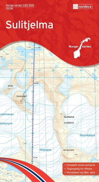
- Wandelkaart - Topografische kaart 10128 Norge Serien Sulitjelma | Nordeca
- Een compleet nieuwe serie topografische kaarten voor Noorwegen 1:50 000. Het heeft een moderne cartografie, ontwikkeld voor het actieve buitenleven. Deze kaarten zijn ideaal voor wandel-en recreatief gebruik in de bergen, bossen, langs de kust en voor de jacht en de visserij. Voor professionele organisaties bieden de kaarten de nodige kennis... Read more

United Kingdom
- Sulitjelma Nordeca 10128
- Map No. 10128, Sulitjelma, in the new topographic survey of Norway at 1:50,000 covering the country on 195 double-sided sheets and first published by Nordeca in 2011 - 2012; fully GPS compatible, indicating waymarked footpaths, campsites, tourist huts, illuminated ski runs, etc.The maps, now published by Nordeca, the successors to Statens... Read more