
Via Algarviana
Beschrijving
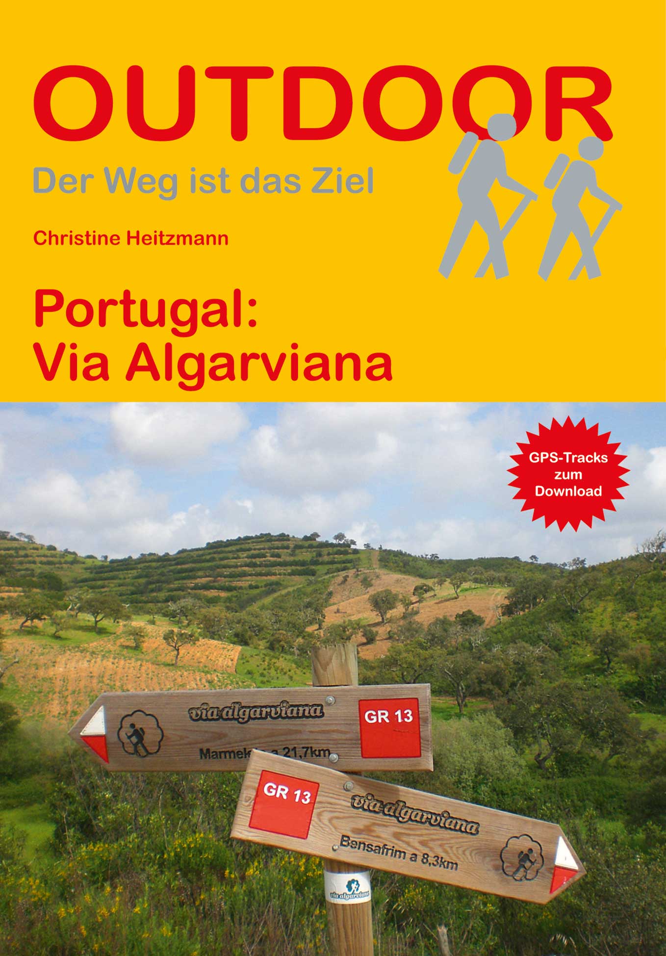
- Name Via Algarviana (GR13)
- Lengte van pad 300 km, 186 mijl
- Lengte in dagen 14 dagen
- Start van pad Alcoutim
- Einde van pad Cabo de São Vicente
- Traildino graad EW, Makkelijke wandeling, natuurpad


Alcoutim – Cabo Santo Vincent, Algarve, 300 km, 14 days
The Algarve is a popular holiday destination in the South of Portugal. It differs from the Mediterranean in the influence of the Atlantic.
The Via Algarviana is a popular trail. It runs inland, not along the coastline.
The trail starts at the Spanish border in the village of Alcoutim. The first half of the trail runs through rather depopulated hills and villages. The second half of the trail is nearer to the popular tourist destinations along the coast. The villages the trail passes thrive on tourism and the hills gradually flatten out. During the last stage, the ocean is approaching from both sides, the landscape drastically changes to open grassland and the walk ends in Cape São Vicente.
The area is still full of remains of the old rural life. When you pay attention, you will find many traces of old farms, bakeries, even bath houses. Nowadays, large areas consist of Eucalyptus plantations, thriving on the poor grounds. Wind farms are another obvious or obtrusive new element in the landscape. You will have to deal with that.
Still, there is so much to enjoy. In March and April the air is saturated with Nightingales‘ songs and Citrus smell. Best time to walk is October till May. June to September is too hot. In autumn, the fields will turn green with the first rains. In spring flowers and weeds break out everywhere.
The trail is very well marked (as of 2017), better than almost any other trail in Europe. On the airport of Faro you can obtain a free copy of the guidebook and maps. Otherwise, download them from the trail’s website.
The trail is easy, consisting of small roads, gravel tracks and paths. Main challenge are some very long stages between villages. Alternatively carry a tent; good camping spots are easy to find. Or improvise a little with busses and taxi’s. In the villages, ask for lodging. There are more opportunities than those popping up on the Internet.
Links
Feiten
Verslagen
Gidsen en kaarten
Overnachting
Organisaties
Reisorganisaties
GPS
Anders
Boeken
Netherlands
2019

Netherlands
2019
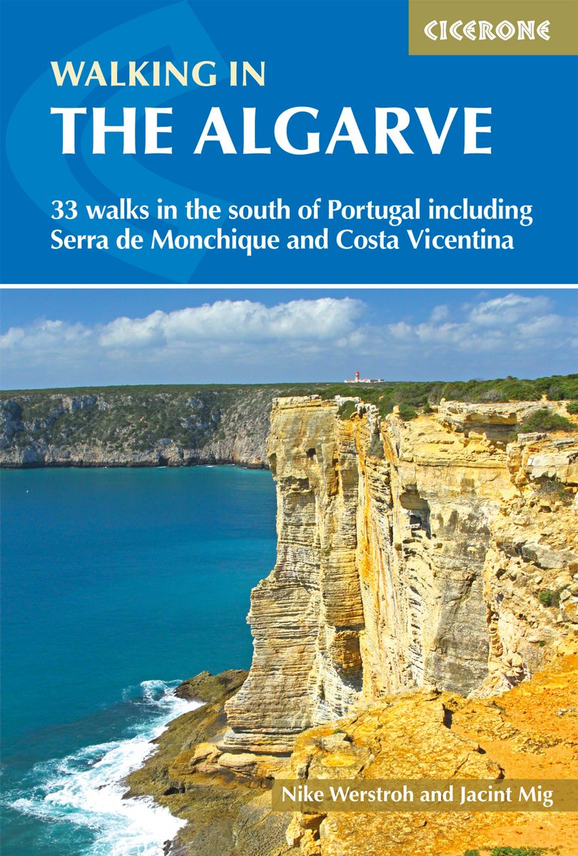
- Wandelgids Walking in the Algarve | Cicerone
- Guidebook to 33 day walks in the Algarve, Portugal's southernmost region. The selected routes offer both coastal and inland options, including the Serra de Monchique and Costa Vicentina, the south and west coasts, the central region and East Algarve. The Algarve benefits from a mild climate, fine scenery and easy transport access. Read more
- Also available from:
- Stanfords, United Kingdom
- The Book Depository, United Kingdom

United Kingdom
2019
- Algarve Walking
- This guidebook presents 33 walks in Portugal`s beautiful Algarve. Boasting good weather, easy access via Faro airport, stunning scenery and some great hiking trails, the region is a perfect destination for a walking holiday.Ranging from 3.5 to 17km, the routes cover the rugged Vicentina Coast and sun-kissed south coast, the Monchique mountains... Read more

United Kingdom
2019
- Walking in the Algarve
- 33 walks in the south of Portugal including Serra de Monchique and Costa Vicentina Read more
Kaarten
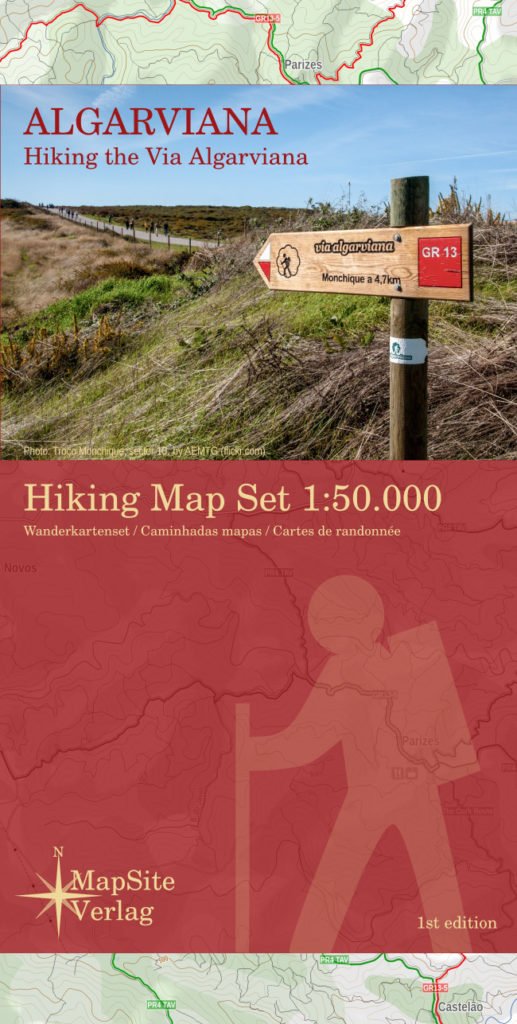
Netherlands
2017
- Wandelkaart Algarviana - Hiking the Via Algarviana | MapSite Verlag
- Wandelkaartset van 6 kaarten van de Via Algarviana. The Via Algarviana (GR13) is a long distance trail in Portugal, running 300 km from Alcoutim at the Spanish border across the entire length of the Algarve to Cape St. Vincent at the Atlantic Ocean. A scale of 1:50.000, accurate relief presentation, 25-m contours, UTM-grid and -projection (for... Read more