
Andalucía
Beschrijving
Kaart

Paden in deze regio
- GR100 Ruta de la PlataGPX
- GR140 Puerto de la Ragua - Cabo de GataGPX
- GR142 Sendero de la AlpujarraGPX
- GR143 Sendero de Almeria
- GR144 Ruta de la TrashumanciaGPX
- GR146 Ruta Monte y Olivo
- GR147 Sierra ProfundaGPX
- GR148 Tahal - Abrucena
- GR240 Sendero SulayrGPX
- GR39 Cañada de la MestaGPX
- GR40 Cañada Real SorianaGPX
- GR41 Cordel de las BuervasGPX
- GR42 Cañada Real Leonesa OccidentalGPX
- GR43 Cordel de la CampiñaGPX
- GR44 Sender de SaragossaGPX
- GR47 Camino de las MinasGPX
- GR48 Sierra MorenaGPX
- GR7 Andorra - TarifaGPX
- GR92 Sender MediterraneoGPX
Links
Feiten
Verslagen
Gidsen en kaarten
Overnachting
Organisaties
Reisorganisaties
GPS
Anders
Boeken
De Zwerver
Netherlands
2023
Netherlands
2023
De Zwerver
Netherlands
2018
Netherlands
2018
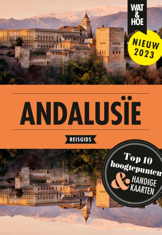
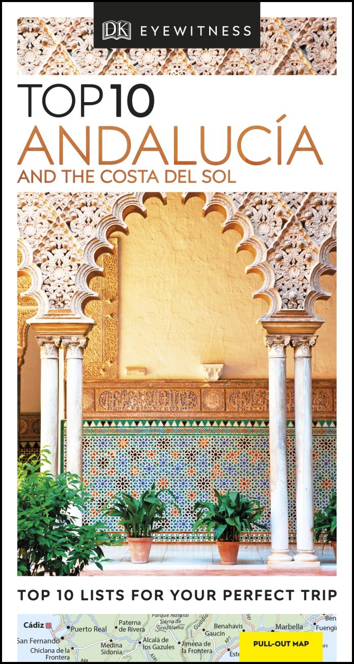
- Reisgids Zuid-Spanje, Costa del Sol - Andalusië | Insight Guides
- Een rijk geillustreerde reisgids met diepgaande teksten: één van de beste reisgidsen die er bestaan. Eerste deel bestaat uit een beschrijving van de unieke aspecten van de regio, daarna een deel echte reisgids en als afsluiting een deel met praktische informatie. De uitstekende informatie wordt vergezeld van prachtige foto's en heldere kaarten.... Read more

De Zwerver
Netherlands
Netherlands
De Zwerver
Netherlands
2018
Netherlands
2018
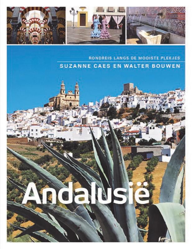
- Reisgids Andalusië - Andalusie | Edicola
- In deze reisgids nemen Suzanne Caes en Walter Bouwen je mee op hun tochten en verhalen ze informatief over de must-sees en de minder bekende plekjes van Andalusië. Dit werk is een leidraad voor iedereen die op eigen houtje Andalusië wil verkennen. In 2011 maakten de auteurs hun eerste rondreis langs de pueblos blancos in Andalusië en sindsdien... Read more
De Zwerver
Netherlands
2019
Netherlands
2019
Meer boeken…
Kaarten

De Zwerver
Netherlands
Netherlands
- Pelgrimsroute (kaart) - Wandelkaart Camino de Santiago in Spanje | CNIG - Instituto Geográfico Nacional
- All roads leading to Santiago de Compostela in the Iberian Peninsula are represented on this Caminos de Santiago / The Way of St. James Map. Routes highlighted on a physical map of the Iberian Peninsula at 1:1,250,000 from IGN/CNIG, Spain civilian topographic survey organization. The base map with altitude colouring and relief shading provides... Read more
- Also available from:
- Stanfords, United Kingdom

Stanfords
United Kingdom
United Kingdom
- Caminos de Santiago / Ways of St. James on the Iberian Peninsula CNIG Overview Map
- All roads leading to Santiago de Compostela in the Iberian Peninsula are represented on this Caminos de Santiago / The Way of St. James Map. Routes highlighted on a physical map of the Iberian Peninsula at 1:1,250,000 from IGN/CNIG, Spain civilian topographic survey organization. The base map with altitude colouring and relief shading provides... Read more
De Zwerver
Netherlands
Netherlands
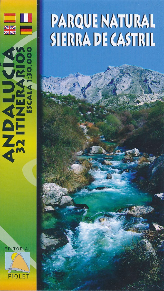
- Wandelkaart Parque Natural Sierra de Castril | Editorial Piolet
- Goede wandelkaart met hoogtelijnen en ingetekende wandelroutes van het Parque Natural Sierra de Castril in het zuidoosten van Spanje. Mapa de excursionismo del Parque Natural "Sierra de Castril"; situado en el extremo noroccidental de la provincia de Granada y colinda por el norte y el oeste con los abruptos relieves de las sierras prebéticas... Read more
De Zwerver
Netherlands
Netherlands
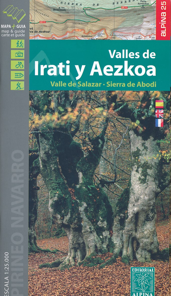
- Wandelkaart 01 Mapa de los Valles de Irati - Aezkoa (Roncesvalles) | Editorial Alpina
- Valles de Irati & Aezkoa in an extensive and very popular series of walking maps from Editorial Alpina covering the Pyrenees, Catalonia and other selected hiking areas in Spain, including Picos de Europa, Sierra Nevada and parts of Andalucía, Majorca, etc. Scales vary from 1:50,000 to 1:10,000, with the majority of the titles at 1:25,000. The... Read more
- Also available from:
- Stanfords, United Kingdom

Stanfords
United Kingdom
United Kingdom
- Valles de Irati y Aezkoa Editorial Alpina
- Valles de Irati & Aezkoa in an extensive and very popular series of walking maps from Editorial Alpina covering the Pyrenees, Catalonia and other selected hiking areas in Spain, including Picos de Europa, Sierra Nevada and parts of Andalucía, Majorca, etc. Scales vary from 1:50,000 to 1:10,000, with the majority of the titles at 1:25,000. The... Read more
De Zwerver
Netherlands
Netherlands
De Zwerver
Netherlands
2013
Netherlands
2013
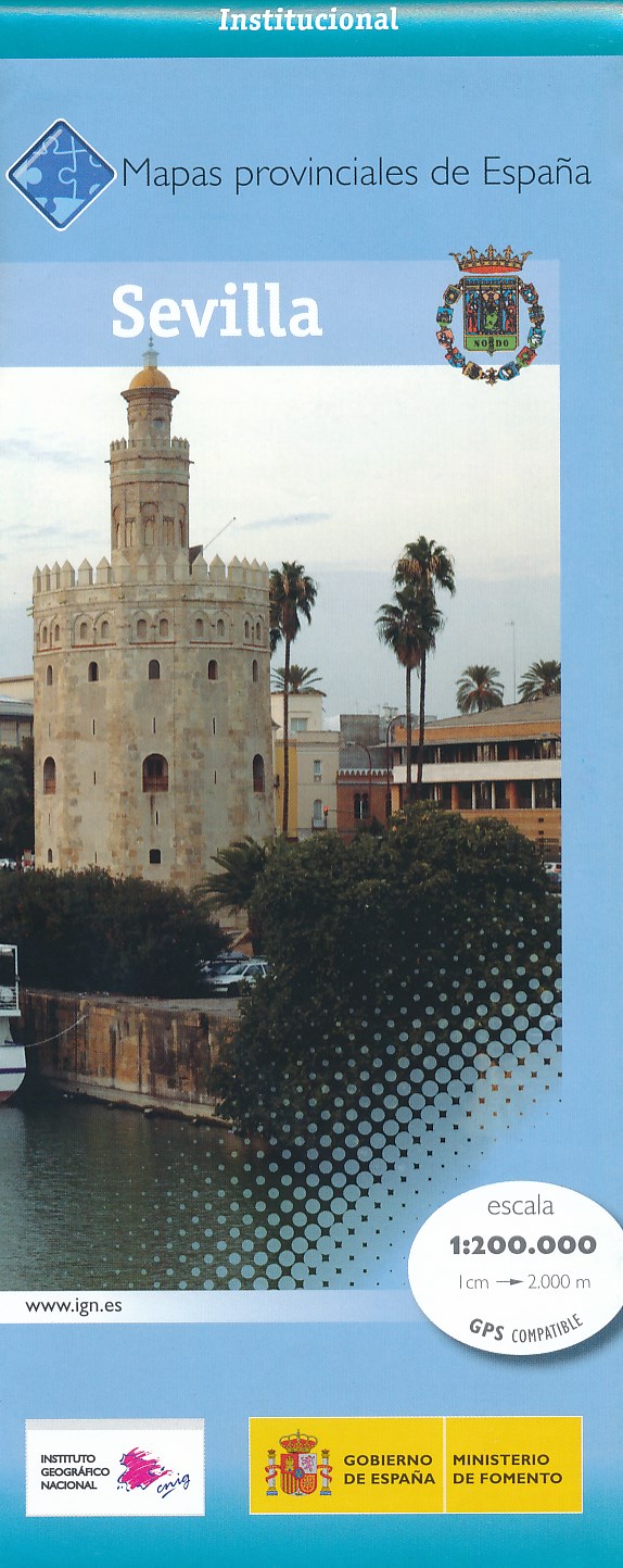
- Wegenkaart - landkaart Mapa Provincial Sevilla | CNIG - Instituto Geográfico Nacional
- Seville Province in a series of contoured, GPS-compatible, indexed road maps at 1:200,000 from the IGN - CNIG, Spain Read more
- Also available from:
- Stanfords, United Kingdom

Stanfords
United Kingdom
2013
United Kingdom
2013
- Seville Province 200K CNIG Map No. 40
- Contoured, GPS-compatible, indexed road map at 1:200,000 from CNIG - Spain’s civilian survey organization, with exceptionally informative presentation of the landscape and highlighting for facilities and places of interest including campsites and paradors.Maps in CNIG’s 200K Provincial Series provide an excellent picture the topography through... Read more
De Zwerver
Netherlands
Netherlands
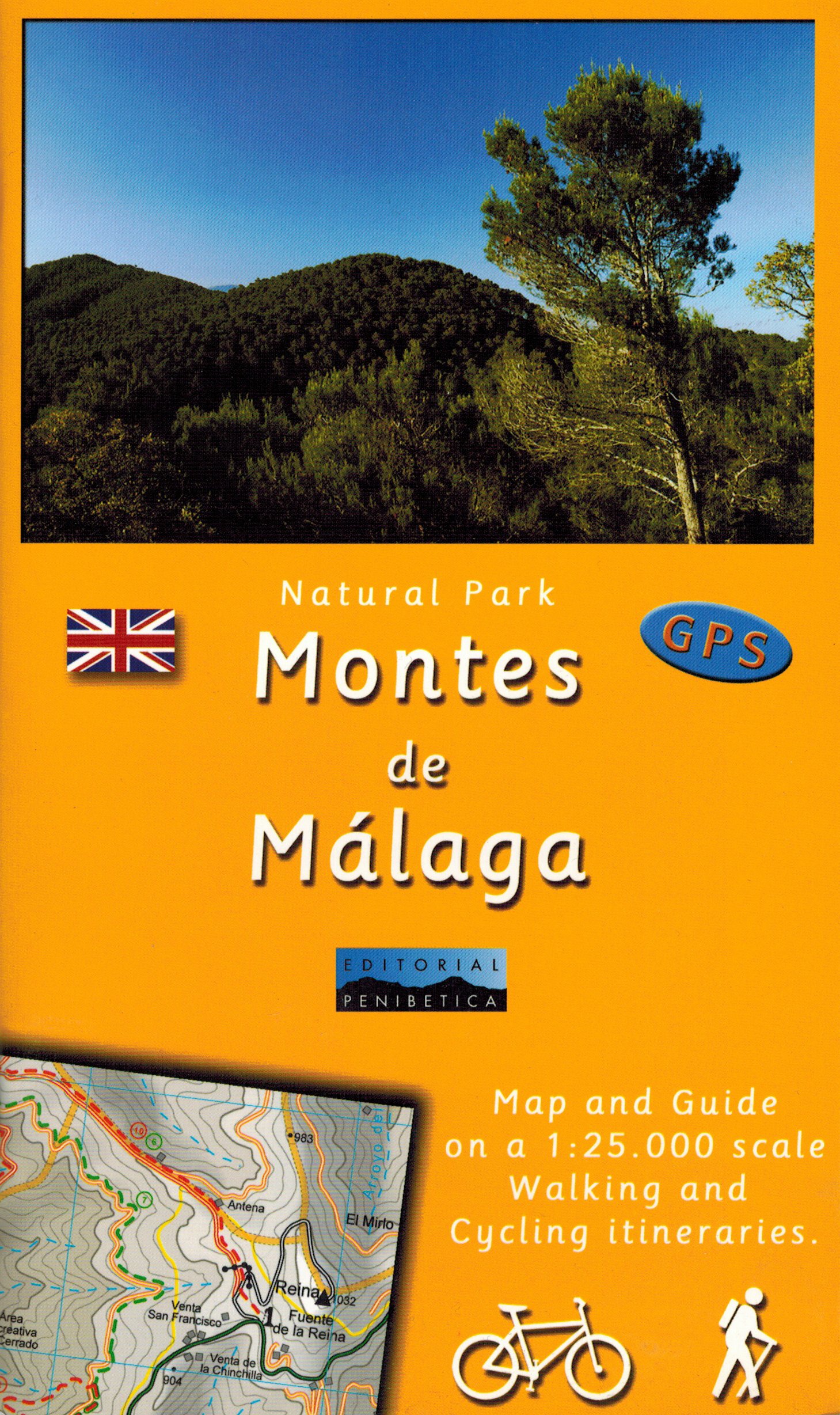
- Wandelkaart Montes de Malaga | Editorial Penibetica
- Een zeer uitgebreide wandel- en fietskaart van het nationale park Montes de Málaga met een spaanstalig gidsje met beschreven wandelroutes van variërende lengte. Op de kaart worden hoogtelijnen, plaatselijke voorzieningen, wandel- en fietsroutes meegenomen. GPS compatible. Read more
- Also available from:
- Stanfords, United Kingdom

Stanfords
United Kingdom
United Kingdom
- Montes de Malaga Map-Guide ENGLISH
- Montes de Málaga Natural Park, just north of Málaga itself, on a contoured, GPS compatible map at 1:25,000 from Editorial Penibetica, highlighting local hiking trails and cycling routes. Accompanying English language booklet provides descriptions of recommended walking trails and cycling routes, details of campsites and huts, etc. Contours are... Read more
De Zwerver
Netherlands
Netherlands
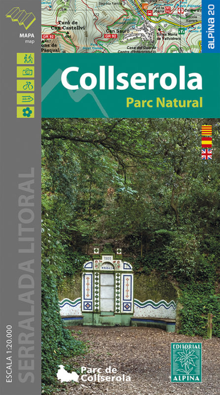
- Wandelkaart 61 Serra de Collserola | Editorial Alpina
- Collserola Natural Park in an extensive and very popular series of walking maps from Editorial Alpina covering the Pyrenees, Catalonia and other selected hiking areas in Spain, including Picos de Europa, Sierra Nevada and parts of Andalucía, Majorca, etc. Scales vary from 1:50,000 to 1:10,000, with the majority of the titles at 1:25,000. The... Read more
- Also available from:
- Stanfords, United Kingdom

Stanfords
United Kingdom
United Kingdom
- Collserola Parc Natural Editorial Alpina
- Collserola Natural Park in an extensive and very popular series of walking maps from Editorial Alpina covering the Pyrenees, Catalonia and other selected hiking areas in Spain, including Picos de Europa, Sierra Nevada and parts of Andalucía, Majorca, etc. Scales vary from 1:50,000 to 1:10,000, with the majority of the titles at 1:25,000. The... Read more
De Zwerver
Netherlands
Netherlands
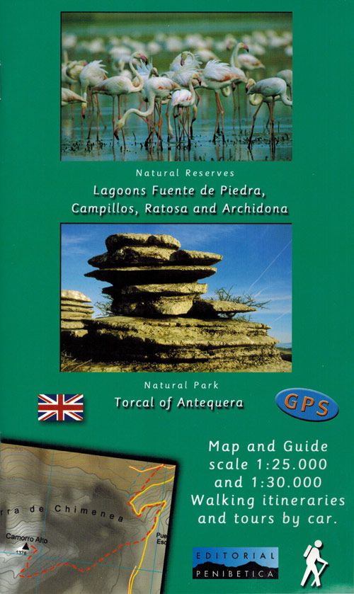
- Wandelkaart - Fietskaart NP Torcal de Antequera | Editorial Penibetica
- Torcal de Antequera and Lagunas Fuente de Piedra in central Andalucía near Antequera on a set of two separate, contoured, GPS compatible maps from Editorial Penibetica, highlighting local hiking trails. Accompanying English language booklet provides descriptions of recommended walking trails and details of campsites and huts, etc.A map at... Read more
- Also available from:
- Stanfords, United Kingdom

Stanfords
United Kingdom
United Kingdom
- Torcal de Antequera - Lagoons Fuente de Piedra, Campillos, Ratosa & Archidona Editorial Penibetica ENGLISH
- Torcal de Antequera and Lagunas Fuente de Piedra in central Andalucía near Antequera on a set of two separate, contoured, GPS compatible maps from Editorial Penibetica, highlighting local hiking trails. Accompanying English language booklet provides descriptions of recommended walking trails and details of campsites and huts, etc.A map at... Read more
- Also available from:
- Stanfords, United Kingdom

Stanfords
United Kingdom
United Kingdom
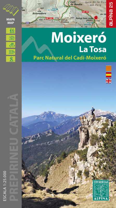
- Moixeró - La Tosa - Cadí-Moixeró Natural Park Editorial Alpina
- Moixeró - La Tosa in an extensive and very popular series of walking maps from Editorial Alpina covering the Pyrenees, Catalonia and other selected hiking areas in Spain, including Picos de Europa, Sierra Nevada and parts of Andalucía, Majorca, etc. Scales vary from 1:50,000 to 1:10,000, with the majority of the titles at 1:25,000. The maps... Read more
De Zwerver
Netherlands
Netherlands
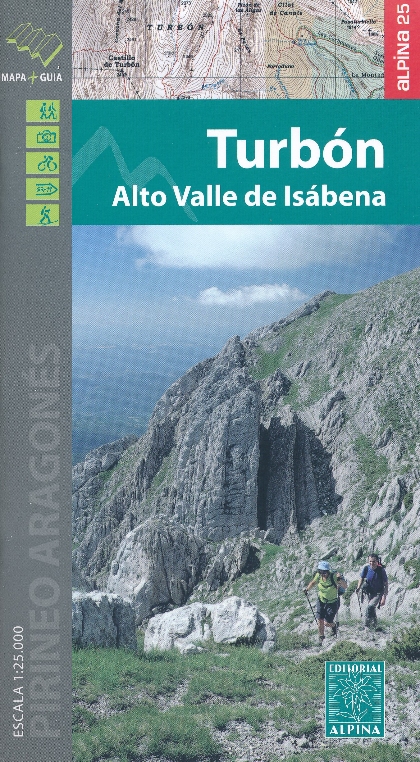
- Wandelkaart 17 Turbón, Alto Valle de Isábena | Editorial Alpina
- El Turbón - Alto Valle de Isábena in an extensive and very popular series of walking maps from Editorial Alpina covering the Pyrenees, Catalonia and other selected hiking areas in Spain, including Picos de Europa, Sierra Nevada and parts of Andalucía, Majorca, etc. Scales vary from 1:50,000 to 1:10,000, with the majority of the titles at... Read more
- Also available from:
- Stanfords, United Kingdom

Stanfords
United Kingdom
United Kingdom
- El Turbón – Alto Valle de Isábena Editorial Alpina
- El Turbón - Alto Valle de Isábena in an extensive and very popular series of walking maps from Editorial Alpina covering the Pyrenees, Catalonia and other selected hiking areas in Spain, including Picos de Europa, Sierra Nevada and parts of Andalucía, Majorca, etc. Scales vary from 1:50,000 to 1:10,000, with the majority of the titles at... Read more
De Zwerver
Netherlands
Netherlands
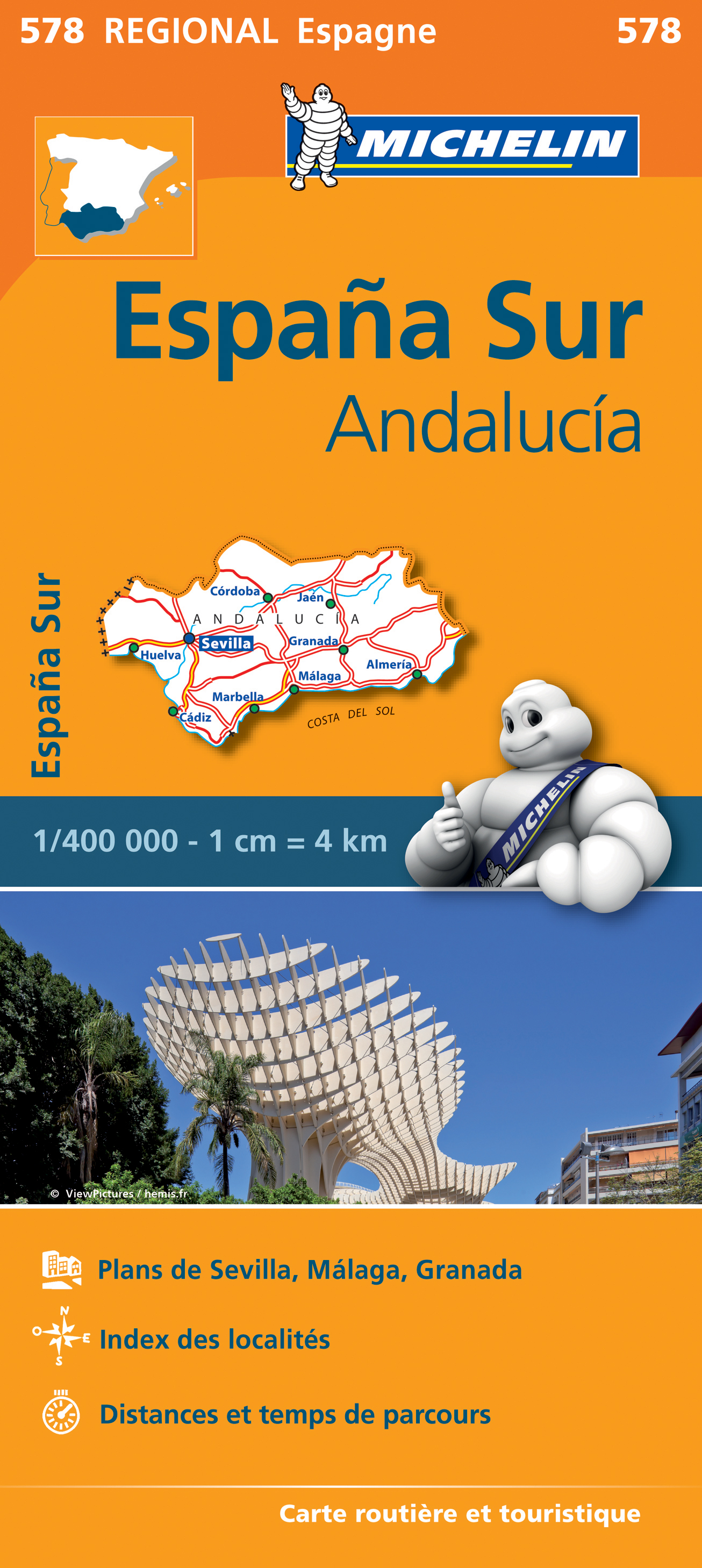
- Wegenkaart - landkaart 578 Andalusië - Malaga - Granada - Sevilla | Michelin
- Une carte fiable pour parcourir les régions d'Europe Read more

De Zwerver
Netherlands
Netherlands
- Wandelkaart 55 Montseny Parc Natural | Editorial Alpina
- Montseny in an extensive and very popular series of walking maps from Editorial Alpina covering the Pyrenees, Catalonia and other selected hiking areas in Spain, including Picos de Europa, Sierra Nevada and parts of Andalucía, Majorca, etc. Scales vary from 1:50,000 to 1:10,000, with the majority of the titles at 1:25,000. The maps have... Read more
- Also available from:
- Stanfords, United Kingdom

Stanfords
United Kingdom
United Kingdom
- Montseny NP - Turo de l`Home - Les Agudas - Matagalls - la Calma Editorial Alpina 2-Map Set
- Montseny in an extensive and very popular series of walking maps from Editorial Alpina covering the Pyrenees, Catalonia and other selected hiking areas in Spain, including Picos de Europa, Sierra Nevada and parts of Andalucía, Majorca, etc. Scales vary from 1:50,000 to 1:10,000, with the majority of the titles at 1:25,000. The maps have... Read more
De Zwerver
Netherlands
Netherlands
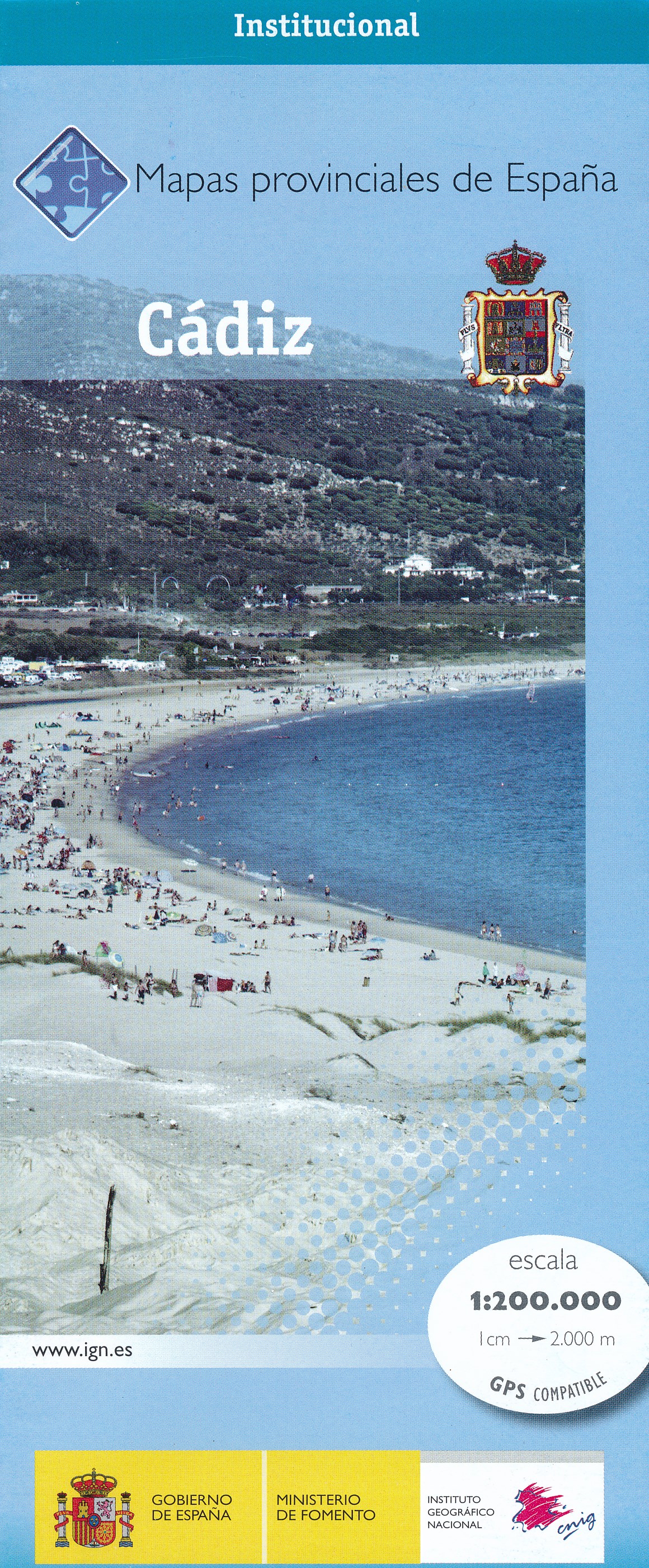
- Wegenkaart - landkaart Mapa Provincial Cadiz | CNIG - Instituto Geográfico Nacional
- Contoured, GPS-compatible, indexed road map at 1:200,000 from CNIG - Spain’s civilian survey organization, with exceptionally informative presentation of the landscape and highlighting for facilities and places of interest including campsites and paradors.Maps in CNIG’s 200K Provincial Series provide an excellent picture the topography through... Read more
- Also available from:
- Stanfords, United Kingdom

Stanfords
United Kingdom
United Kingdom
- Cadíz Province 200K CNIG Map No. 12
- Contoured, GPS-compatible, indexed road map at 1:200,000 from CNIG - Spain’s civilian survey organization, with exceptionally informative presentation of the landscape and highlighting for facilities and places of interest including campsites and paradors.Maps in CNIG’s 200K Provincial Series provide an excellent picture the topography through... Read more