
Fuerteventura, Canarias
Beschrijving

The Canary island of Fuerteventura has recently been declared a biosphere reserve by Unesco. It shares this status with Tenerife, but that’s about the only resemblance between the two islands.
Fuerteventura is a large, dry island, almost treeless, eroded by winds since it is by far the oldest of the Canary Islands. Highest point is only 807 m. Still, this island is a very good place for hiking. The semi desert inland with its colourful sands and volcanoes contrast with the azur blue coastline and is virtually empty of habitation. Most people live along the coast, and in some big towns where the main tourist influx happens (windsurfing).
This exotic scenery is the background for many nature reserves - 30% of the island - rich in rare birds and animals, including Egyptian Vultures and wild dogs and cats. Moreover, a fantastic trail traverses the island from north to south, the GR131.
Best time for hiking is winter. This is the time of the “eternal spring”. Temperatures are around 20 degrees Celsius. Most rain is in October. Summer is pleasant too, but bring sun protection, and plan your siesta in the afternoon.
Check the complete list of Canary Islands.
Kaart

Paden in deze regio
Links
Feiten
Verslagen
Gidsen en kaarten
Overnachting
Organisaties
Reisorganisaties
GPS
Anders
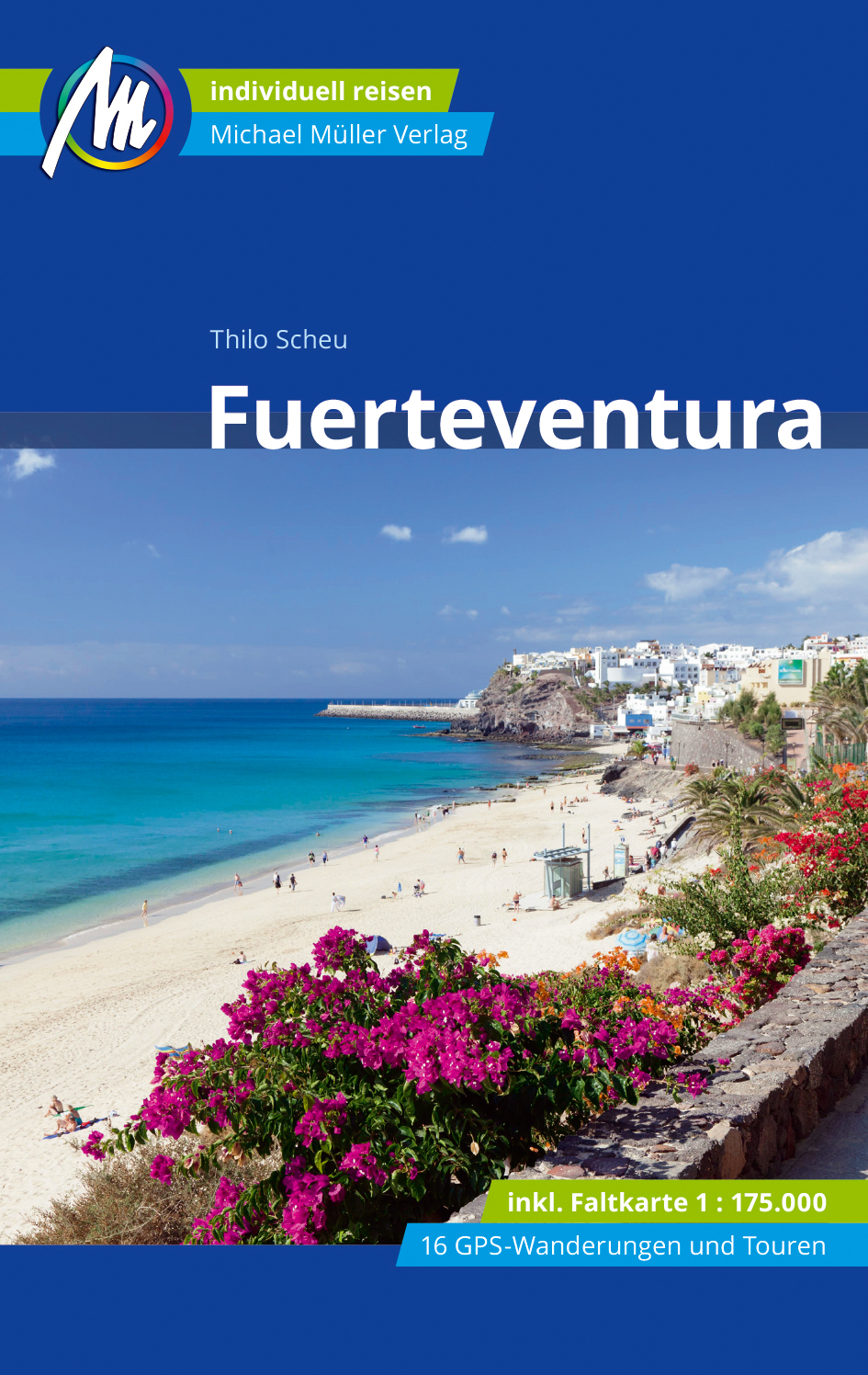
Boeken
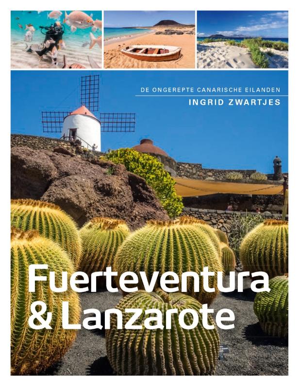
Netherlands
2021
Netherlands
2018
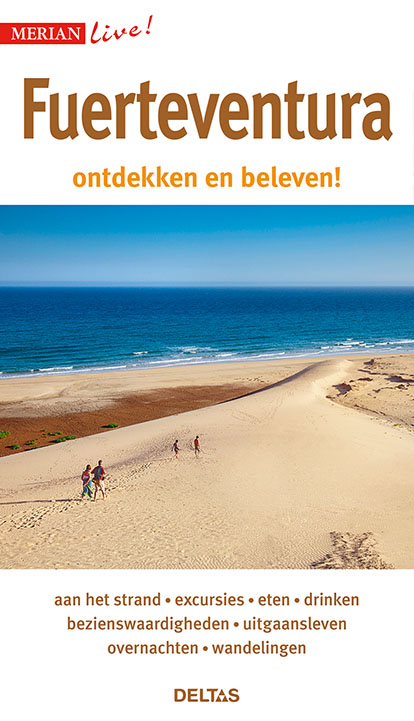
- Reisgids Merian live Fuerteventura | Deltas
- Leuke handzame reisgids met een beschrijving van alle bezienswaardigheden; vrij veel praktische tips als het gaat om bijv. Accommodatie of restaurants. Goed voor een eerste kennismaking met het land. Handzaam reisgidsje met de volgende hoofdstukken: - Aan het strand - Excursies - Bezienswaardigheden - Eten en Drinken - Uitgangsleven -... Read more
Netherlands
2023
Netherlands
2022

Netherlands
- Geheimnisvolle Schatzsuche
- Die Suche nach verschollenen Sch tzen von K nigen, Piraten und versunkenen Reichen fasziniert die Menschen immer wieder aufs Neue. Mehr noch als der lockende Reichtum ziehen das Abenteuer und die Herausforderung eines ungel sten R tsels so viele Schatzsucher in ihren Bann. Reich bebildert, dokumentiert dieses Buch die Suche nach den ber... Read more
- Also available from:
- Bol.com, Belgium
Belgium
- Geheimnisvolle Schatzsuche
- Die Suche nach verschollenen Sch tzen von K nigen, Piraten und versunkenen Reichen fasziniert die Menschen immer wieder aufs Neue. Mehr noch als der lockende Reichtum ziehen das Abenteuer und die Herausforderung eines ungel sten R tsels so viele Schatzsucher in ihren Bann. Reich bebildert, dokumentiert dieses Buch die Suche nach den ber... Read more
Netherlands
2013
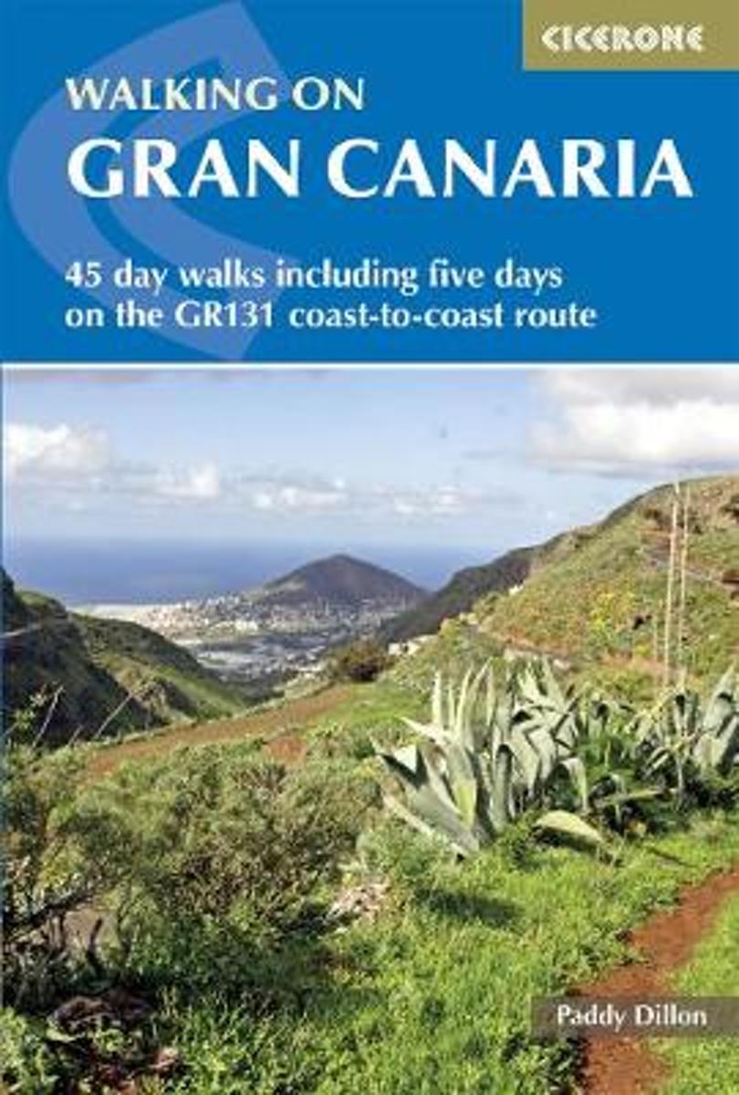
- Walking on Gran Canaria
- This guide, the fourth in a series of five to the Canary Islands, offers 45 walks including a five-day coast-to-coast route on the long-distance GR 131 - an island-hopping trail that stretches across all seven of the Canaries. All routes Read more
- Also available from:
- Bol.com, Belgium
Belgium
2013
- Walking on Gran Canaria
- This guide, the fourth in a series of five to the Canary Islands, offers 45 walks including a five-day coast-to-coast route on the long-distance GR 131 - an island-hopping trail that stretches across all seven of the Canaries. All routes Read more
Netherlands
- Wandelkaart Tour & Trail Lanzarote | Discovery Walking Guides
- Travel & Languages Reference Maps & Road Atlases International Books Read more
- Also available from:
- Bol.com, Netherlands
- Bol.com, Belgium
- Stanfords, United Kingdom
Netherlands
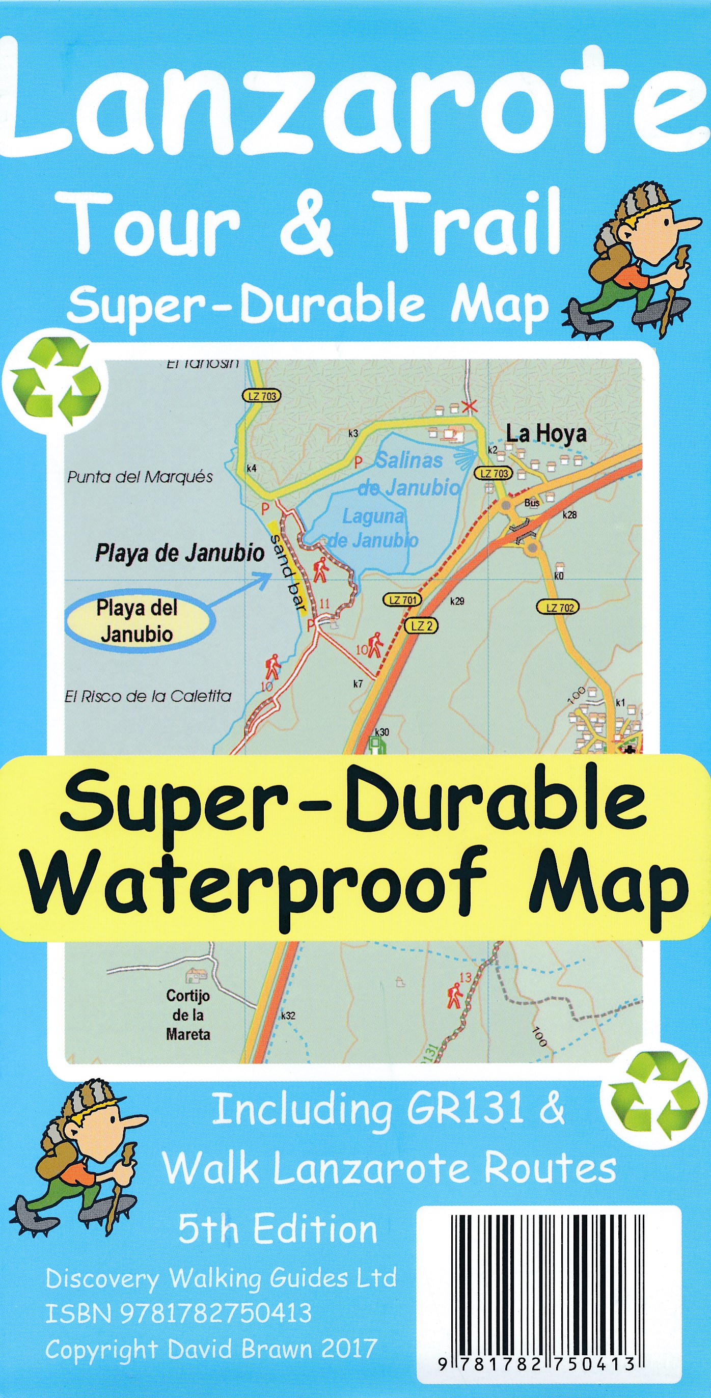
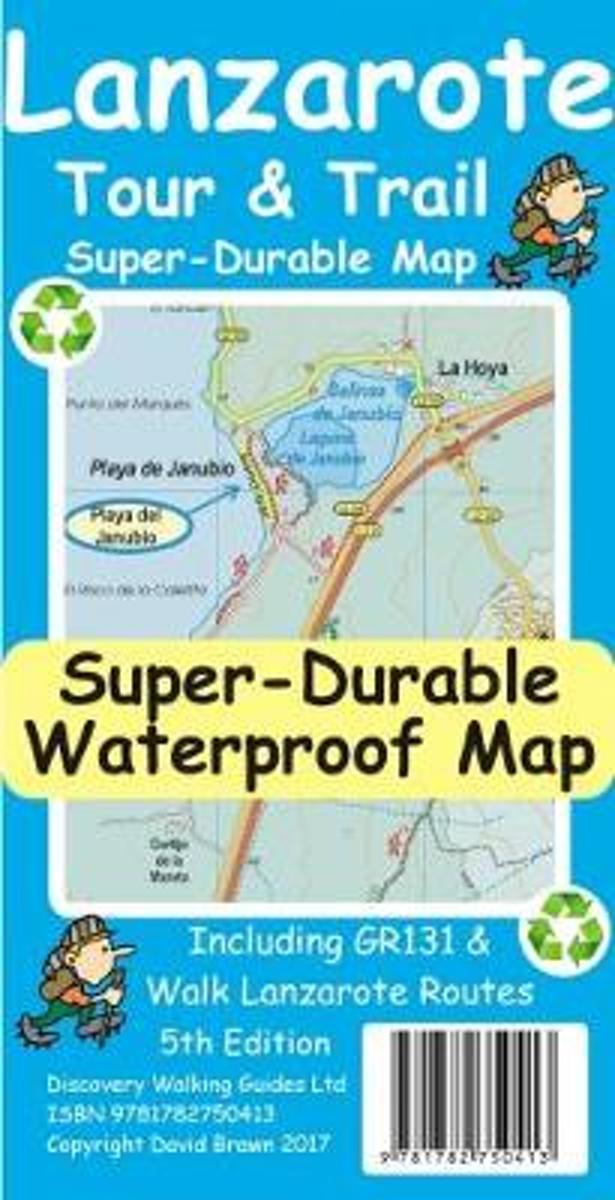
- Lanzarote Tour & Trail Super-Durable Map
- This map is being replaced by a new 4th edition published on 9 May 2016 ISBN 9781782750277. Lanzarote Tour & Trail Map 3rd edition Super-Durable version covers this big island at a scale of 1:40,000 resulting in the most detailed and toughest map of Lanzarote that you can buy. All the country walking routes from our new 3rd edition of Walk!... Read more
Belgium
- Lanzarote Tour & Trail Super-Durable Map
- This map is being replaced by a new 4th edition published on 9 May 2016 ISBN 9781782750277. Lanzarote Tour & Trail Map 3rd edition Super-Durable version covers this big island at a scale of 1:40,000 resulting in the most detailed and toughest map of Lanzarote that you can buy. All the country walking routes from our new 3rd edition of Walk!... Read more

United Kingdom
- Lanzarote Tour & Trail Super-Durable Map
- Lanzarote Tour & Trail Super-Durable Map 5th edition covers this big island at a scale of 1:40,000 resulting in the most detailed and toughest map of Lanzarote that you can buy. Large 960mm by 700mm double sided map sheet with generous overlap, to reduce turning the map in use, folds to 235mm by 120mm pocket size using our special `concertina... Read more
Kaarten

Netherlands
2015
- Wegenkaart - landkaart Spanje | Borch
- Espana (Spanien) 1 : 1 875 000 ab 9.9 EURO Espana del Oeste, Espana del Este, Islas Canarias Borch Map. 9. Auflage Read more
Netherlands
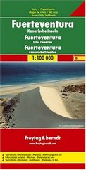
- Wegenkaart - landkaart Fuerteventura | Freytag & Berndt
- Fuerteventura at 1:100,000 on a map from Freytag & Berndt with icons highlighting numerous places of interest and recreational facilities including campsites. The island Read more
- Also available from:
- Stanfords, United Kingdom

United Kingdom
- Fuerteventura F&B
- Fuerteventura at 1:100,000 on a map from Freytag & Berndt with icons highlighting numerous places of interest and recreational facilities including campsites. The island’s topography is well presented by relief shading with spot heights, names of peaks and other geographical features, and boundaries of protected areas.The map highlights scenic... Read more

- Also available from:
- Stanfords, United Kingdom

United Kingdom
- Lanzarote Kompass 241
- Lanzarote at 1:50,000 on a contoured and GPS compatible map from Kompass, with extensive tourist overprint, plus street plans of Arrecife, Puerto del Carmen and Teguise. Coverage includes the nearby islands of Graciosa, Montaña Clara and Alwegranza.Topography is vividly presented by contours at 50m intervals, enhanced by relief shading plus... Read more
- Also available from:
- Stanfords, United Kingdom

United Kingdom
2020
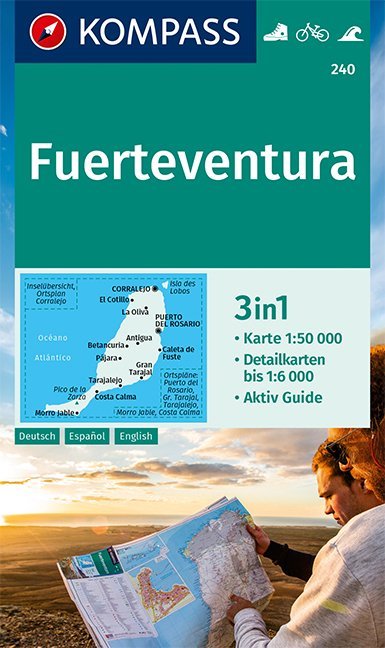
- Fuerteventura Kompass 240
- Fuerteventura ar 1:50,000 in a series of maps of the Canary Islands from Kompass, Europe’s leading publisher of detailed, contoured hiking maps. Excellent also for exploring each island on bike or by car, the maps highlight numerous hiking trails, indicating difficult sections, and show cycle routes. A wide range of symbols highlight various... Read more

Netherlands
- Tenerife Hikers Maps
- Our latest hiking research on Tenerife has resulted in new editions of Walk! Tenerife and Tenerife Hikers' Super-Durable Maps being published in 2017. Thanks to Jan Kostura's 2016 research we have several new hiking adventures described in detail in Walk! Tenerife. Jan's gps records of his research for new routes and updating of current routes... Read more
- Also available from:
- Bol.com, Belgium
Belgium
- Tenerife Hikers Maps
- Our latest hiking research on Tenerife has resulted in new editions of Walk! Tenerife and Tenerife Hikers' Super-Durable Maps being published in 2017. Thanks to Jan Kostura's 2016 research we have several new hiking adventures described in detail in Walk! Tenerife. Jan's gps records of his research for new routes and updating of current routes... Read more
Netherlands
2009
- Fuerteventura WK240
- Toeristische kaart voor wandelen, fietsen en vrije tijd met activiteitengids en stadsplattegronden • goed leesbare schaal van 1:50 000 • te gebruiken met GPS • met praktische informatie over de regio • wandel- en fietspaden • aanbevolen routes • kastelen • uitzichtpunten • stranden en baaien • toeristische informatie • veel topografische... Read more
- Also available from:
- Bol.com, Belgium
Belgium
2009
- Fuerteventura WK240
- Toeristische kaart voor wandelen, fietsen en vrije tijd met activiteitengids en stadsplattegronden • goed leesbare schaal van 1:50 000 • te gebruiken met GPS • met praktische informatie over de regio • wandel- en fietspaden • aanbevolen routes • kastelen • uitzichtpunten • stranden en baaien • toeristische informatie • veel topografische... Read more

Netherlands
- Lanzarote WK241
- Toeristische kaart voor wandelen, fietsen en vrije tijd met activiteitengids en stadsplattegronden • goed leesbare schaal van 1:50 000 • te gebruiken met GPS • met praktische informatie over de regio • wandel- en fietspaden • aanbevolen routes • kastelen • uitzichtpunten • stranden en baaien • toeristische informatie • veel topografische... Read more
- Also available from:
- Bol.com, Belgium
Belgium
- Lanzarote WK241
- Toeristische kaart voor wandelen, fietsen en vrije tijd met activiteitengids en stadsplattegronden • goed leesbare schaal van 1:50 000 • te gebruiken met GPS • met praktische informatie over de regio • wandel- en fietspaden • aanbevolen routes • kastelen • uitzichtpunten • stranden en baaien • toeristische informatie • veel topografische... Read more
Netherlands
2018
- Kompass WK240 Fuerteventura
- Toeristische kaart voor wandelen, fietsen en vrije tijd met activiteitengids en stadsplattegronden; goed leesbare schaal van 1:50 000; te gebruiken met GPS; met praktische informatie over de regio; wandel- en fietspaden; aanbevolen routes; kastelen; uitzichtpunten; stranden en baaien; toeristische informatie; veel topografische details; Duitstalig Read more
- Also available from:
- Bol.com, Belgium
Belgium
2018
- Kompass WK240 Fuerteventura
- Toeristische kaart voor wandelen, fietsen en vrije tijd met activiteitengids en stadsplattegronden; goed leesbare schaal van 1:50 000; te gebruiken met GPS; met praktische informatie over de regio; wandel- en fietspaden; aanbevolen routes; kastelen; uitzichtpunten; stranden en baaien; toeristische informatie; veel topografische details; Duitstalig Read more

Netherlands
- Kanaren/DVD-ROM
- Deze digitale wandel-, fiets- en skiroute kaarten van Kompass op CD of DVD zijn bruikbaar met GPS • je kunt inzoomen op de kaart tot een schaal van 1: 10 000 • prima manier om je eigen route te plannen, met hoogteprofielen • zeer eenvoudig om de gekozen route te printen of te downloaden op mobiele telefoon of PDA • vlieg vogelvlucht over een... Read more
- Also available from:
- Bol.com, Belgium
Belgium
- Kanaren/DVD-ROM
- Deze digitale wandel-, fiets- en skiroute kaarten van Kompass op CD of DVD zijn bruikbaar met GPS • je kunt inzoomen op de kaart tot een schaal van 1: 10 000 • prima manier om je eigen route te plannen, met hoogteprofielen • zeer eenvoudig om de gekozen route te printen of te downloaden op mobiele telefoon of PDA • vlieg vogelvlucht over een... Read more

United Kingdom
- Pajara 25K Fuerteventura CNIG Topographic Survey Map No. 1093-III/IV
- Topographic coverage of the Canary Islands at 1:25,000 published by the Instituto Geográfico Nacional – Centro Nacional de Información Geografica, the country’s civilian survey organization. The maps have contours at 10m intervals and colouring and/or graphics to show different types of vegetation or land use. Boundaries of national parks and... Read more

United Kingdom
- El Castillo CNIG Topo 1094
- El Castillo area of Fuerteventura, map No. 1094 in the topographic coverage of the Canary Islands at 1:50,000 from the Instituto Geográfico Nacional - Centro Nacional de Información Geograficá, Spain’s civilian survey organization. Maps in the MTN50 (Mapa Topográfico Nacional) series begun in late 1990s have contours at 20m intervals enhanced... Read more
United Kingdom
- El Roque 25K Fuerteventura CNIG Topographic Survey Map No. 1086-I
- Topographic coverage of the Canary Islands at 1:25,000 published by the Instituto Geográfico Nacional – Centro Nacional de Información Geografica, the country’s civilian survey organization. The maps have contours at 10m intervals and colouring and/or graphics to show different types of vegetation or land use. Boundaries of national parks and... Read more
United Kingdom
- El Castillo 25K Fuerteventura CNIG Topographic Survey Map No. 1094-I
- Topographic coverage of the Canary Islands at 1:25,000 published by the Instituto Geográfico Nacional – Centro Nacional de Información Geografica, the country’s civilian survey organization. The maps have contours at 10m intervals and colouring and/or graphics to show different types of vegetation or land use. Boundaries of national parks and... Read more

United Kingdom
- Gran Canaria
- Gran Canaria, Las Palmas and the island’s main resorts on a clear and informative, waterproof and tear-resistant map from Berndtson, with both the road map and the street plans indexed and highlighting the island’s 15 top rated sites and other places of interest, as well as providing general tourist information. On one side a map at 1:100,000... Read more