
GR132 La Gomera
Beschrijving
- Name GR132 La Gomera (GR132)
- Lengte van pad 120 km, 75 mijl
- Lengte in dagen 6 dagen
- Start van pad San Sebastián de la Gomera
- Einde van pad San Sebastián de la Gomera
- Traildino graad MW, Gemiddelde wandeling, trektocht
- Huttentrektocht graad T1, Wandeling
 The island of Gomera is a popular hiking destination. Nature is different from the other islands. The centre of the island is densely forested and hilly. This laurel rain forest is protected and declared a Unesco World Heritage Site.
The coastal ring is dry and eroded. This trail, the GR132, is exploring this coastal ring. The earth is split at many places by deep eroded ravines, called barrancos, which make the hiking more strenuous. In some of these ravines, the forest thrives. When possible, the islanders cultivate the soil by creating terraced fields. The GR touches the rain forest in the northern part of the island.
The GR132 is an interesting and diverse walk. The trail is marked. One passes villages where accommodation is available. Maps and guidebooks are available.
Check the complete list of Canary Islands.
Links
Feiten
Verslagen
Gidsen en kaarten
Overnachting
Organisaties
Reisorganisaties
GPS
Anders
Boeken

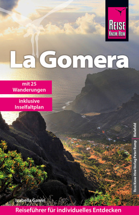
Netherlands
2023
Netherlands
2018
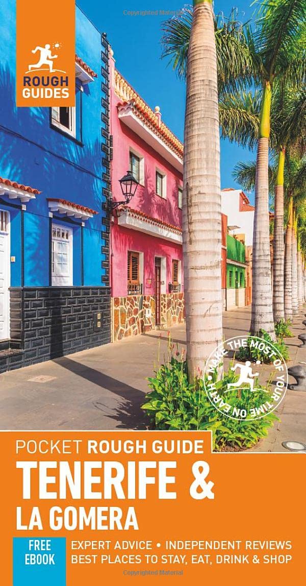
- Reisgids Reishandboek Tenerife, La Gomera, El Hierro | Uitgeverij Elmar
- Praktische en culturele reisgids met alle bezienswaardigheden * Veel achtergrondinformatie * Praktische informatie: onder andere accommodatie, vervoer, gezondheid, geldzaken etc. * Alle bezienswaardigheden * Kaarten en plattegronden in kleur Ruige bergen en mistige oerbossen. Kleurrijke koloniale steden. Natuurlijk gevormde zeebaden. En de geur... Read more
Netherlands
2022
Netherlands
2012
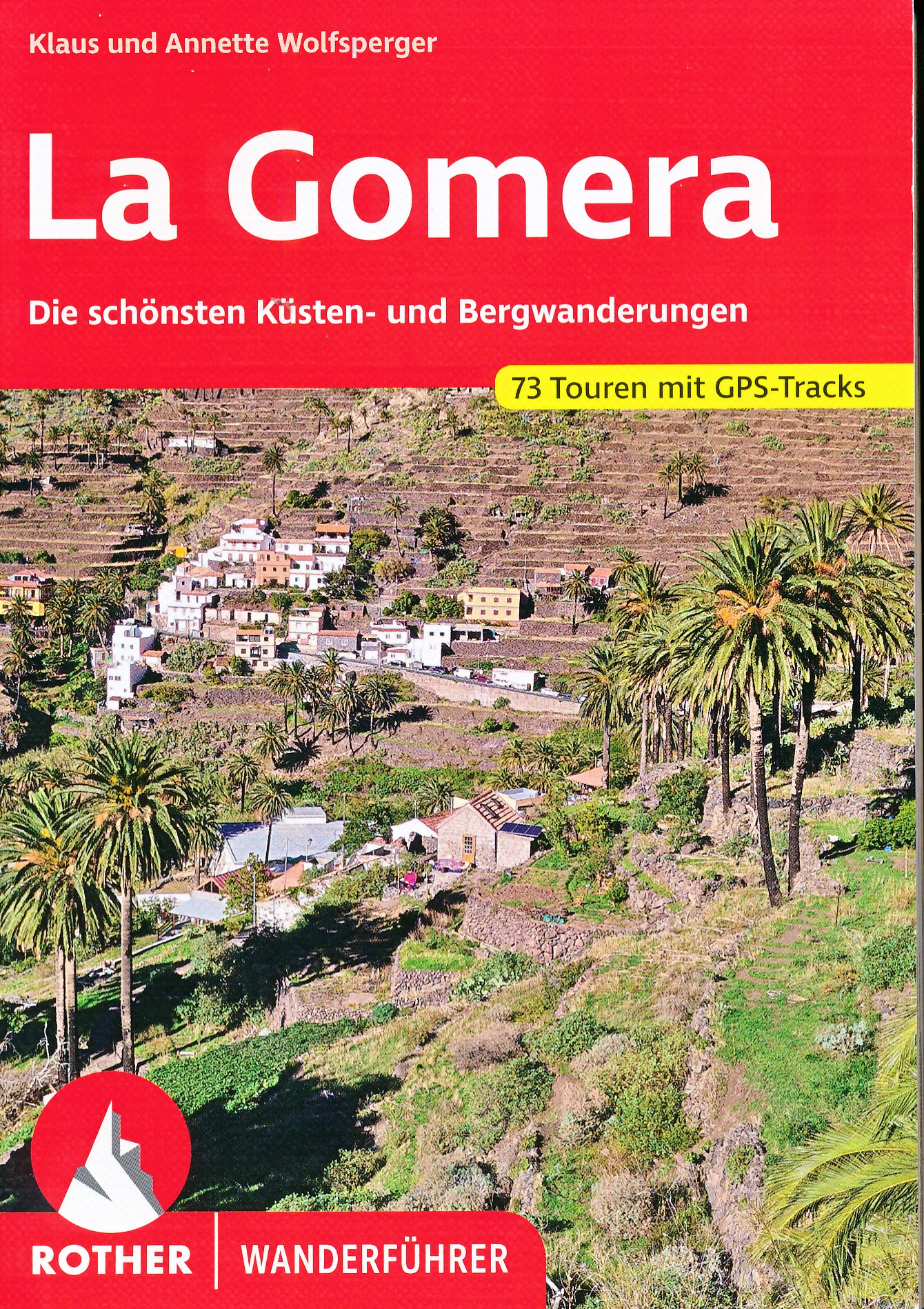
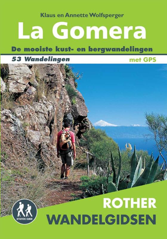
- Wandelgids La Gomera | Uitgeverij Elmar
- De Rother Wandelgids La Gomera beschrijft 53 wandelroutes voor dit populaire Canarische Eiland. Wandel in de schaduw van de 1487 meter hoge Garajonay, geniet van de verbluffend mooie uitzichten en rust uit tussen de laurierbomen. Niet voor niets is Nationaal park Garajonay door UNESCO aangewezen als wereldnatuurerfgoed. Alle dagwandelingen... Read more
- Also available from:
- Bol.com, Netherlands
- Bol.com, Belgium
Netherlands
2012
- Rother Wandelgidsen - La Gomera
- De Rother Wandelgids La Gomera beschrijft 53 wandelroutes voor dit populaire Canarische Eiland.Wandel in de schaduw van de 1487 meter hoge Garajonay, geniet van de verbluffend mooie uitzichten en rust uit tussen de laurierbomen.Niet voor niets is Nationaal park Garajonay door UNESCO aangewezen als wereldnatuurerfgoed.Alle dagwandelingen hebben... Read more
Belgium
2012
- Rother Wandelgidsen - La Gomera
- De Rother Wandelgids La Gomera beschrijft 53 wandelroutes voor dit populaire Canarische Eiland.Wandel in de schaduw van de 1487 meter hoge Garajonay, geniet van de verbluffend mooie uitzichten en rust uit tussen de laurierbomen.Niet voor niets is Nationaal park Garajonay door UNESCO aangewezen als wereldnatuurerfgoed.Alle dagwandelingen hebben... Read more
Netherlands
2017
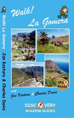
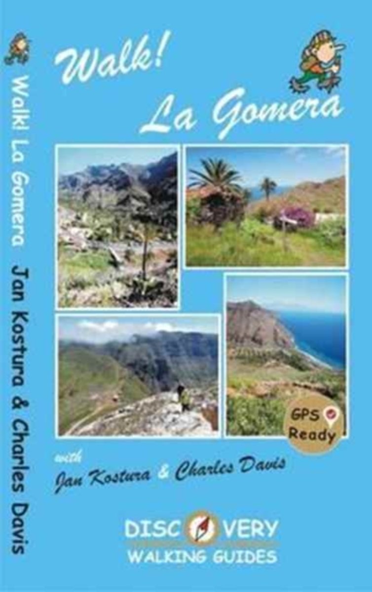
- Wandelgids Walk! La Gomera | Discovery Walking Guides
- La Gomera is the ultimate get-away-from-it-all island: easy-going, unspoilt, friendly, isolated from the hustle and bustle of modern living, and so laid back it`s virtually supine - even the volcanoes have been dormant for millions of years. The walks, however, are a bit more energetic. For the new 4th edition of Walk! La Gomera Charles Davis... Read more
- Also available from:
- Bol.com, Netherlands
- Bol.com, Belgium
- The Book Depository, United Kingdom
Netherlands
2017
- Walk! La Gomera
- La Gomera is the ultimate get-away-from-it-all island: easy-going, unspoilt, friendly, isolated from the hustle and bustle of modern living, and so laid back it's virtually supine - even the volcanoes have been dormant for millions of years. The walks, however, are a bit more energetic. For the new 4th edition of Walk! La Gomera Charles Davis... Read more
Belgium
2017
- Walk! La Gomera
- La Gomera is the ultimate get-away-from-it-all island: easy-going, unspoilt, friendly, isolated from the hustle and bustle of modern living, and so laid back it's virtually supine - even the volcanoes have been dormant for millions of years. The walks, however, are a bit more energetic. For the new 4th edition of Walk! La Gomera Charles Davis... Read more

United Kingdom
2017
- Walk! La Gomera
- La Gomera is the ultimate get-away-from-it-all island: easy-going, unspoilt, friendly, isolated from the hustle and bustle of modern living, and so laid back it`s virtually supine - even the volcanoes have been dormant for millions of years. The walks, however, are a bit more energetic. For the new 4th edition of Walk! La Gomera Charles Davis... Read more
Netherlands
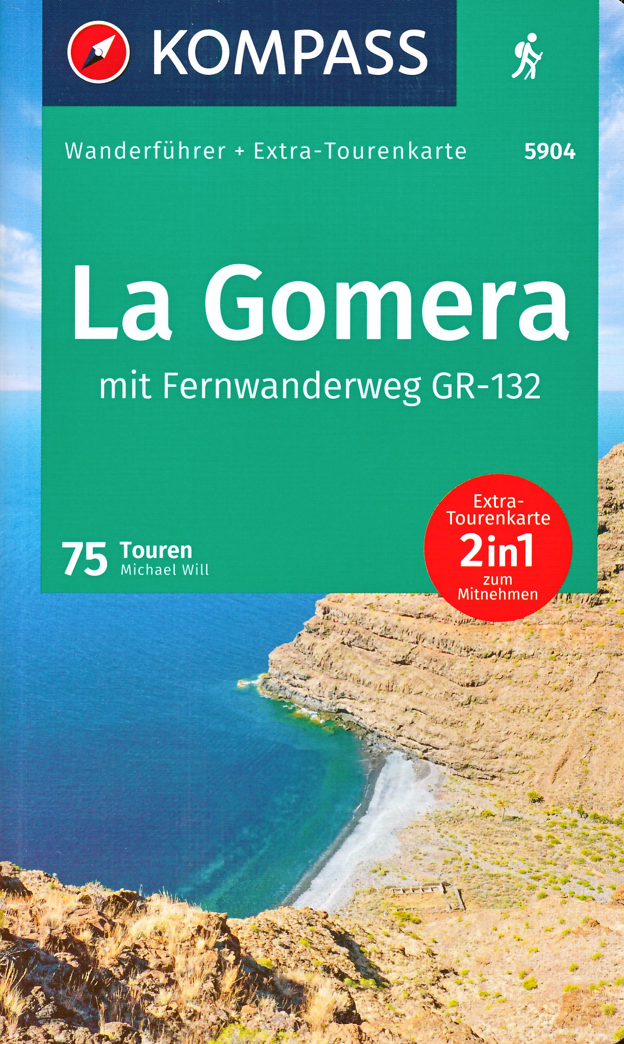
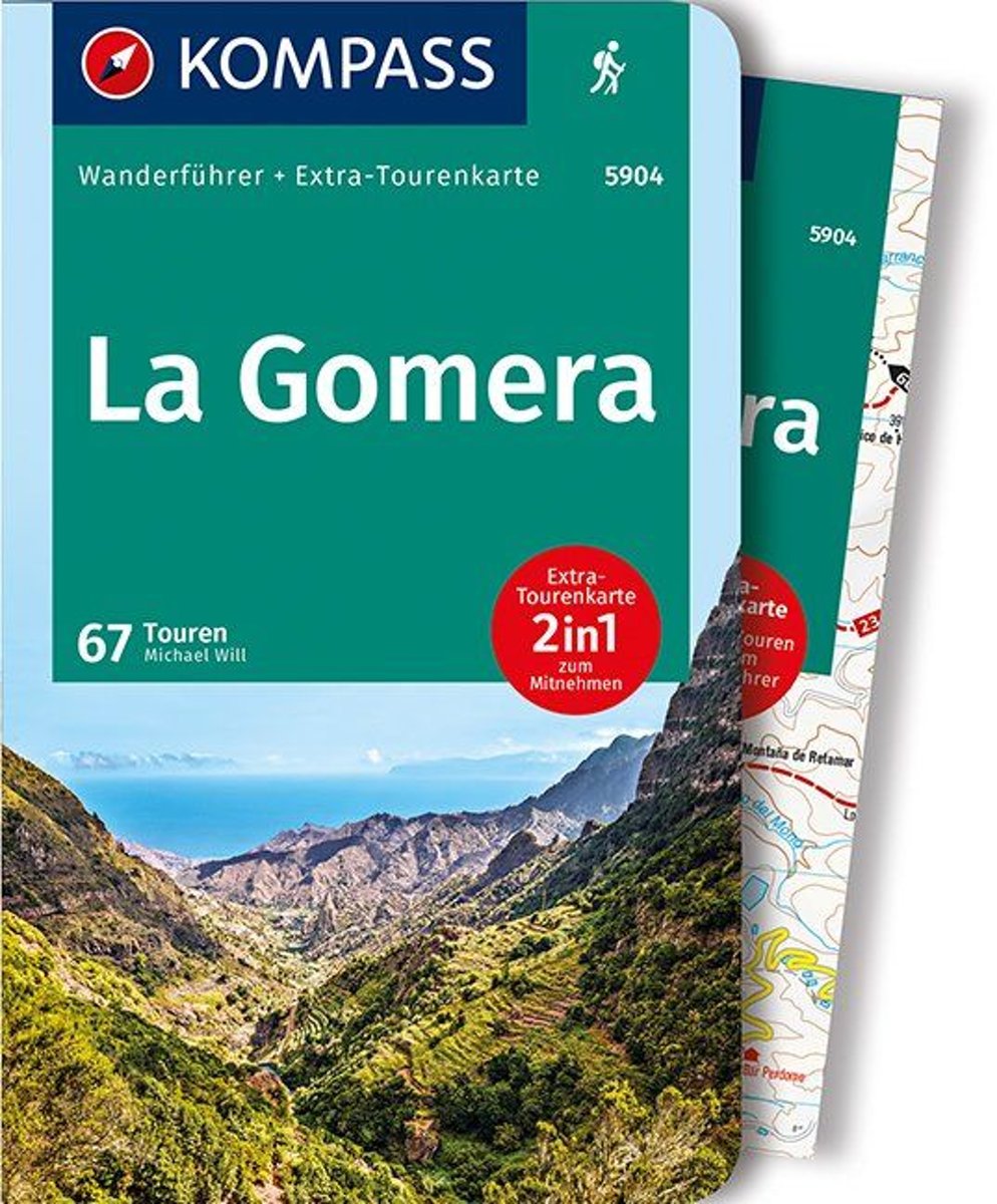
- WF5904 La Gomera mit Karte Kompass
- De Kompass wandelgids + kaart geeft een overzicht van alle wandelroutes in het gebied met nauwkeurige routeaanwijzingen en hoogteaanduidingen, De extra grote kaart, schaal 1:35 000, is ideaal om van te voren uw route uit te stippelen en om onderweg te gebruiken; naast de bekende bestemmingen, worden ook de minder bekende vermeld; openbaar... Read more
- Also available from:
- Bol.com, Belgium
Belgium
- WF5904 La Gomera mit Karte Kompass
- De Kompass wandelgids + kaart geeft een overzicht van alle wandelroutes in het gebied met nauwkeurige routeaanwijzingen en hoogteaanduidingen, De extra grote kaart, schaal 1:35 000, is ideaal om van te voren uw route uit te stippelen en om onderweg te gebruiken; naast de bekende bestemmingen, worden ook de minder bekende vermeld; openbaar... Read more
Netherlands
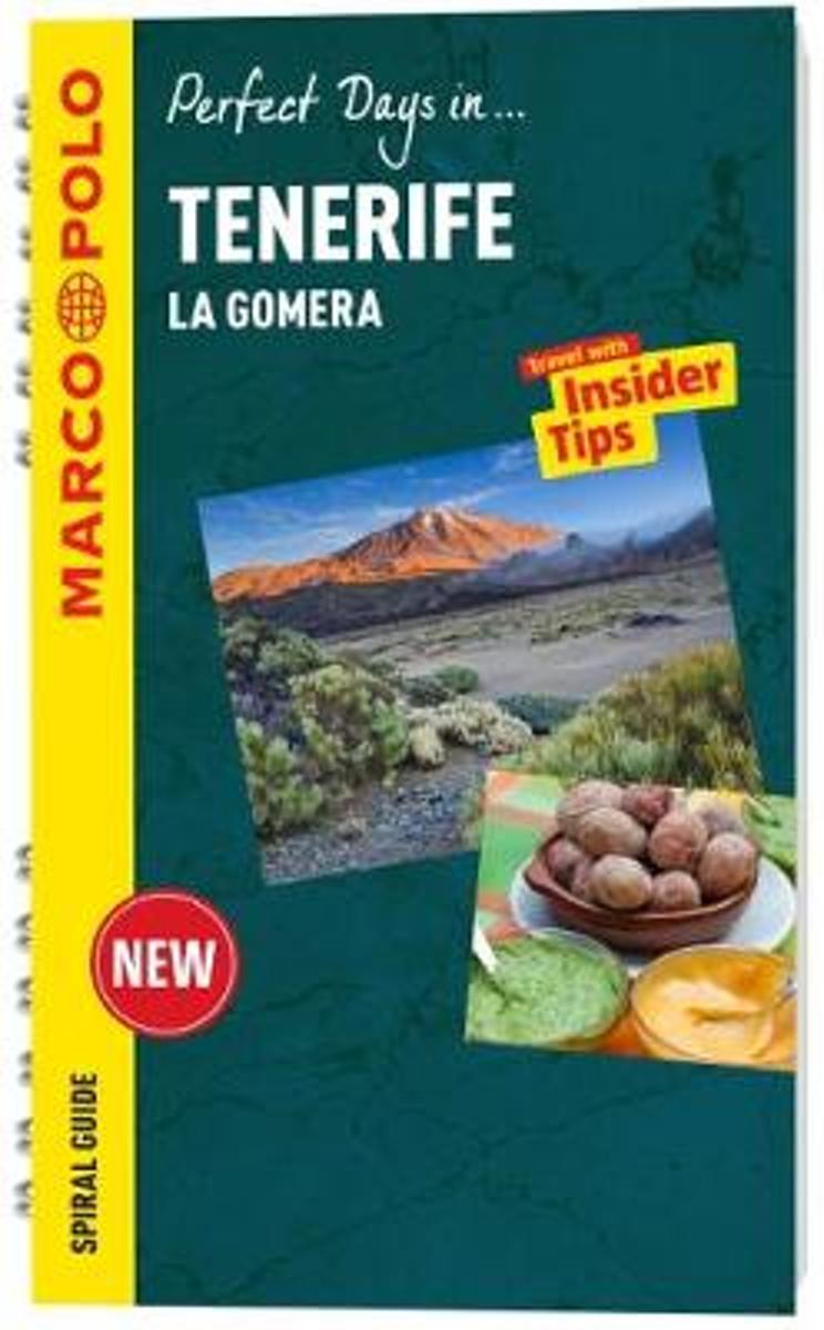
- Tenerife Marco Polo Travel Guide - with pull out map
- Perfect Days in... Tenerife. For advice you can trust, look no further than Marco Polo. The Tenerife Marco Polo Travel Guide is a compact travel guide for people who have little time to prepare for a trip, don't want to miss anything, like to be inspired by great ideas for exciting days out and love all things ultra-practical and easy to use.... Read more
- Also available from:
- Bol.com, Belgium
Belgium
- Tenerife Marco Polo Travel Guide - with pull out map
- Perfect Days in... Tenerife. For advice you can trust, look no further than Marco Polo. The Tenerife Marco Polo Travel Guide is a compact travel guide for people who have little time to prepare for a trip, don't want to miss anything, like to be inspired by great ideas for exciting days out and love all things ultra-practical and easy to use.... Read more
Netherlands
- Walking In The Canary Islands
- The severn volcanic Canary Islands lie just over 100 miles off the coast of Africa and have a sunny, hot climate with little rainfall and snow only on the highest peaks. The islands are crowned by El Teide, Spain's highest mountain at an impressive 3718 metres.Although the islands are often very rough and rocky, with high and often inaccessible... Read more
- Also available from:
- Bol.com, Belgium
Belgium
- Walking In The Canary Islands
- The severn volcanic Canary Islands lie just over 100 miles off the coast of Africa and have a sunny, hot climate with little rainfall and snow only on the highest peaks. The islands are crowned by El Teide, Spain's highest mountain at an impressive 3718 metres.Although the islands are often very rough and rocky, with high and often inaccessible... Read more
Netherlands
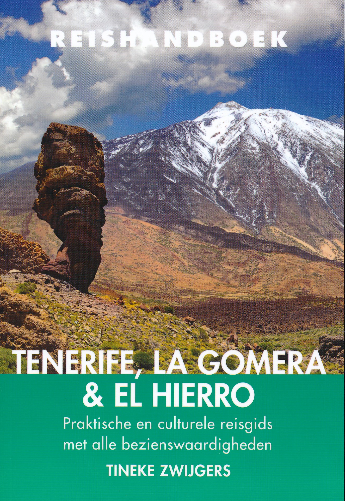
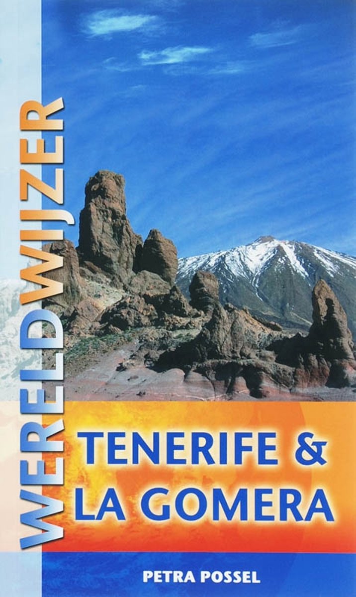
- Wereldwijzer / Tenerife & La Gomera
- Bij Canarische eilanden denken veel mensen aan zon, zee, voile stranden, drukke boulevards en massatoerisme. Maar deze eilanden hebben veel meer te bieden. Aan de drukke zuidkust is men gelukkig met man en macht aan het werk om het toerisme naar een hoger niveau te tillen. Tenerife, het grootste van de zeven bewoonde eilanden, heeft de hoogste... Read more
- Also available from:
- Bol.com, Belgium
Belgium
- Wereldwijzer / Tenerife & La Gomera
- Bij Canarische eilanden denken veel mensen aan zon, zee, voile stranden, drukke boulevards en massatoerisme. Maar deze eilanden hebben veel meer te bieden. Aan de drukke zuidkust is men gelukkig met man en macht aan het werk om het toerisme naar een hoger niveau te tillen. Tenerife, het grootste van de zeven bewoonde eilanden, heeft de hoogste... Read more
Netherlands
2010
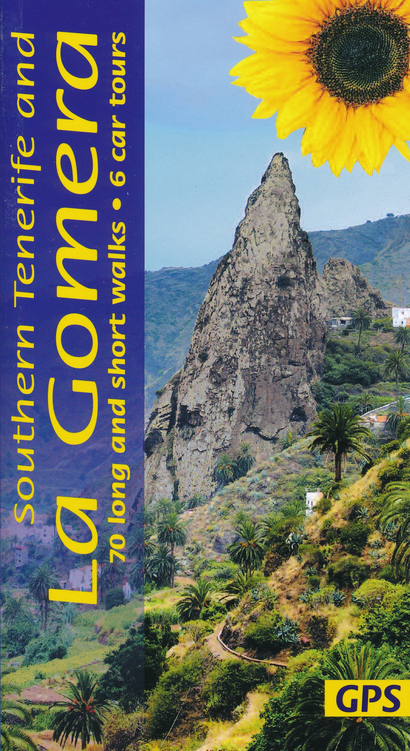
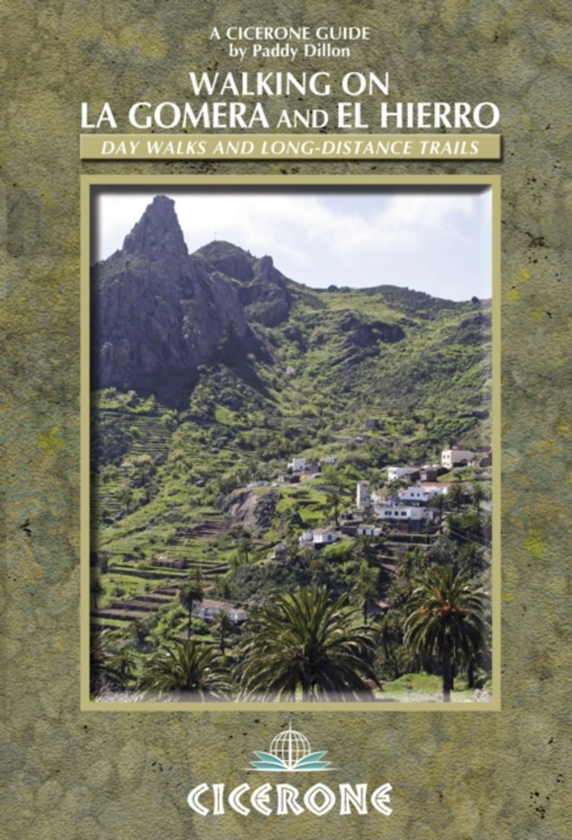
- Walking on La Gomera and El Hierro
- Walking guide to La Gomera and El Hierro, in the Canaries, with day walks and long-distance trails including Camino de La Virgen, GR132 around La Gomera and part of GR131 across the Canary Islands. Routes in Garajonay National Park and from San Sebastien and Valverde. Rugged mountain treks, coastal walks and easier expeditions. Read more
- Also available from:
- Bol.com, Belgium
Belgium
2010
- Walking on La Gomera and El Hierro
- Walking guide to La Gomera and El Hierro, in the Canaries, with day walks and long-distance trails including Camino de La Virgen, GR132 around La Gomera and part of GR131 across the Canary Islands. Routes in Garajonay National Park and from San Sebastien and Valverde. Rugged mountain treks, coastal walks and easier expeditions. Read more
Netherlands
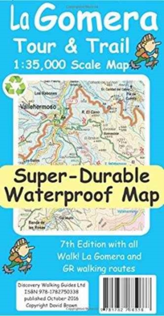
- La Gomera Tour & Trail Super-Durable Map
- La Gomera Tour & Trail Super-Durable Map 7th edition replaces our 6th edition in October 2016 - Digital editions of this map are available for use on mobile phone apps from Viewranger and MyTrails, plus Custom Map version for Garmin mapping gps units is available as a digital download from Discovery Walking Guides. Continuing with our larger... Read more
- Also available from:
- Bol.com, Belgium
Belgium
- La Gomera Tour & Trail Super-Durable Map
- La Gomera Tour & Trail Super-Durable Map 7th edition replaces our 6th edition in October 2016 - Digital editions of this map are available for use on mobile phone apps from Viewranger and MyTrails, plus Custom Map version for Garmin mapping gps units is available as a digital download from Discovery Walking Guides. Continuing with our larger... Read more
Kaarten
Netherlands
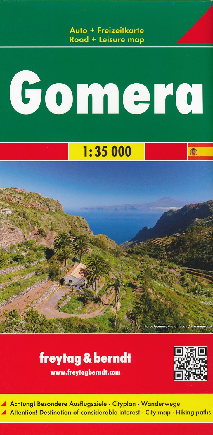
- Wandelkaart - Wegenkaart - landkaart La Gomera | Freytag & Berndt
- Zeer gedetailleerde wegen-wandelkaart van La Gomera. Schaal 1; 35.000. Stadsplattegrond van San Sebastian opgenomen in de kaart. Naast bezienswaardigheden en nationale parken staan er ook wandelroutes op deze kaart afgebeeld. Overigens vinden wij dat de Freytag & Berndt kaarten van de Spaanse en Portugese eilanden iets meer gericht zjin op... Read more
Netherlands
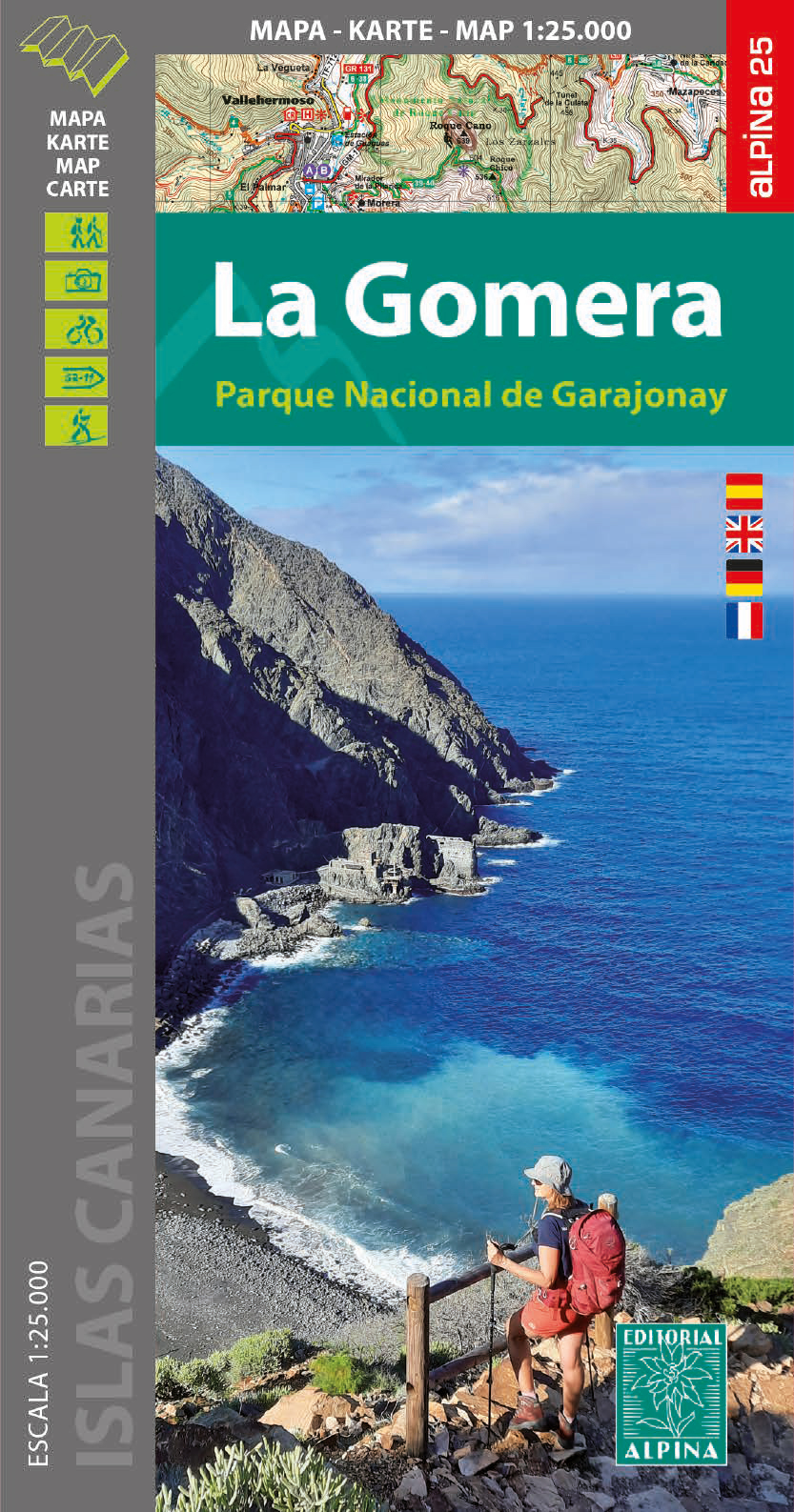
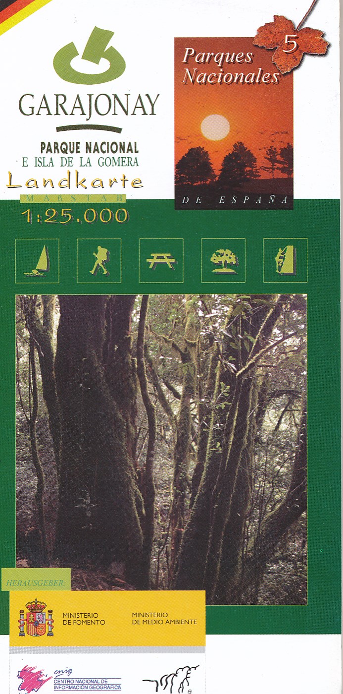
- Wandelkaart 5 Parques Nacionales Garajonay Parque Nacional e isla de la Gomera | CNIG - Instituto Geográfico Nacional
- Gedetailleerde wandelkaart 1:25.000. Met ingetekende wandelroutes, hutten en andere overnachtingsmogelijkheden, restaurants en bezienswaardigheden. Met begeleidend boekje met beschrijvingen van 13 wandelingen in het Duits Read more
Netherlands
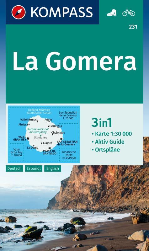
- Gomera WK231
- Toeristische kaart voor wandelen, fietsen en vrije tijd met activiteitengids en stadsplattegronden • goed leesbare schaal van 1:30 000 • te gebruiken met GPS • met praktische informatie over de regio • wandel- en fietspaden • aanbevolen routes • kastelen • uitzichtpunten • stranden en baaien • toeristische informatie • veel topografische... Read more
- Also available from:
- Bol.com, Belgium
Belgium
- Gomera WK231
- Toeristische kaart voor wandelen, fietsen en vrije tijd met activiteitengids en stadsplattegronden • goed leesbare schaal van 1:30 000 • te gebruiken met GPS • met praktische informatie over de regio • wandel- en fietspaden • aanbevolen routes • kastelen • uitzichtpunten • stranden en baaien • toeristische informatie • veel topografische... Read more

Netherlands
- Kanaren/DVD-ROM
- Deze digitale wandel-, fiets- en skiroute kaarten van Kompass op CD of DVD zijn bruikbaar met GPS • je kunt inzoomen op de kaart tot een schaal van 1: 10 000 • prima manier om je eigen route te plannen, met hoogteprofielen • zeer eenvoudig om de gekozen route te printen of te downloaden op mobiele telefoon of PDA • vlieg vogelvlucht over een... Read more
- Also available from:
- Bol.com, Belgium
Belgium
- Kanaren/DVD-ROM
- Deze digitale wandel-, fiets- en skiroute kaarten van Kompass op CD of DVD zijn bruikbaar met GPS • je kunt inzoomen op de kaart tot een schaal van 1: 10 000 • prima manier om je eigen route te plannen, met hoogteprofielen • zeer eenvoudig om de gekozen route te printen of te downloaden op mobiele telefoon of PDA • vlieg vogelvlucht over een... Read more

United Kingdom
- Valle Gran Rey 25K La Gomera CNIG Topographic Survey Map No. 1101-I
- Topographic coverage of the Canary Islands at 1:25,000 published by the Instituto Geográfico Nacional – Centro Nacional de Información Geografica, the country’s civilian survey organization. The maps have contours at 10m intervals and colouring and/or graphics to show different types of vegetation or land use. Boundaries of national parks and... Read more

United Kingdom
- Gomera CNIG Topo 1095-1101
- La Gomera, map No. 1095/1101 in the topographic coverage of the Canary Islands at 1:50,000 from the Instituto Geográfico Nacional - Centro Nacional de Información Geograficá, Spain’s civilian survey organization. Maps in the MTN50 (Mapa Topográfico Nacional) series begun in late 1990s have contours at 20m intervals enhanced by relief shading,... Read more
United Kingdom
- San Sebastian de la Gomera 25K CNIG Topographic Survey Map No. 1101-II
- Topographic coverage of the Canary Islands at 1:25,000 published by the Instituto Geográfico Nacional – Centro Nacional de Información Geografica, the country’s civilian survey organization. The maps have contours at 10m intervals and colouring and/or graphics to show different types of vegetation or land use. Boundaries of national parks and... Read more
United Kingdom
- Agulo 25K La Gomera CNIG Topographic Survey Map No. 1095-I/II
- Topographic coverage of the Canary Islands at 1:25,000 published by the Instituto Geográfico Nacional – Centro Nacional de Información Geografica, the country’s civilian survey organization. The maps have contours at 10m intervals and colouring and/or graphics to show different types of vegetation or land use. Boundaries of national parks and... Read more
United Kingdom
- Vallehermoso 25K La Gomera CNIG Topographic Survey Map No. 1095-III
- Topographic coverage of the Canary Islands at 1:25,000 published by the Instituto Geográfico Nacional – Centro Nacional de Información Geografica, the country’s civilian survey organization. The maps have contours at 10m intervals and colouring and/or graphics to show different types of vegetation or land use. Boundaries of national parks and... Read more
United Kingdom
- Hermigua 25K La Gomera CNIG Topographic Survey Map No. 1095-IV
- Topographic coverage of the Canary Islands at 1:25,000 published by the Instituto Geográfico Nacional – Centro Nacional de Información Geografica, the country’s civilian survey organization. The maps have contours at 10m intervals and colouring and/or graphics to show different types of vegetation or land use. Boundaries of national parks and... Read more