
La Palma, Canarias
Beschrijving
 La Palma is a popular hiking destination as much as a popular sun destination. You may like both, and take advantage of the very good flight connections to the island. Most prominent feature is the huge erosion crater, Caldera de Taburiente, a National Park. Highest summit here is the Roque de la Muchachos, 2426 m.
The long side of the pear shaped island points to the south. This is where volcanic features are found which can be explored on foot; just follow the GR131 marked trail. By the way: this trail is also part of the European Long Distance Path E7.
The other GR on the island is the GR130, a circular walk around the island, more level than the GR130, connecting a series of villages.
In addition to the spectacular rocky mountainous center of the island, with its volcanoes and craters, the forests in the north and northeast are a second must-see. The trade winds from the north hit the island, the air is lifted, causing a zone of semi-perpetual clouds and mist. The green moist forests with large ferns and evergreen laurel trees, often hidden in steep ravines, are an oasis compared to the dry south. We mentioned the two GR's on the island. Apart from these, many regional or local routes, well-marked, give you the opportunity to explore these micro biotopes such as the steep barrancas on the north coast or the string of volcanoes on the south crest.
Check the complete list of Canary Islands.
Kaart

Paden in deze regio
Links
Feiten
Verslagen
Gidsen en kaarten
Overnachting
Organisaties
Reisorganisaties
GPS
Anders
Boeken
Netherlands
2018
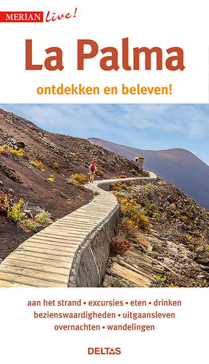
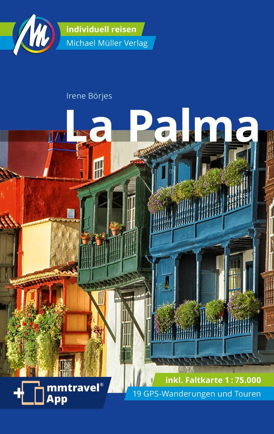
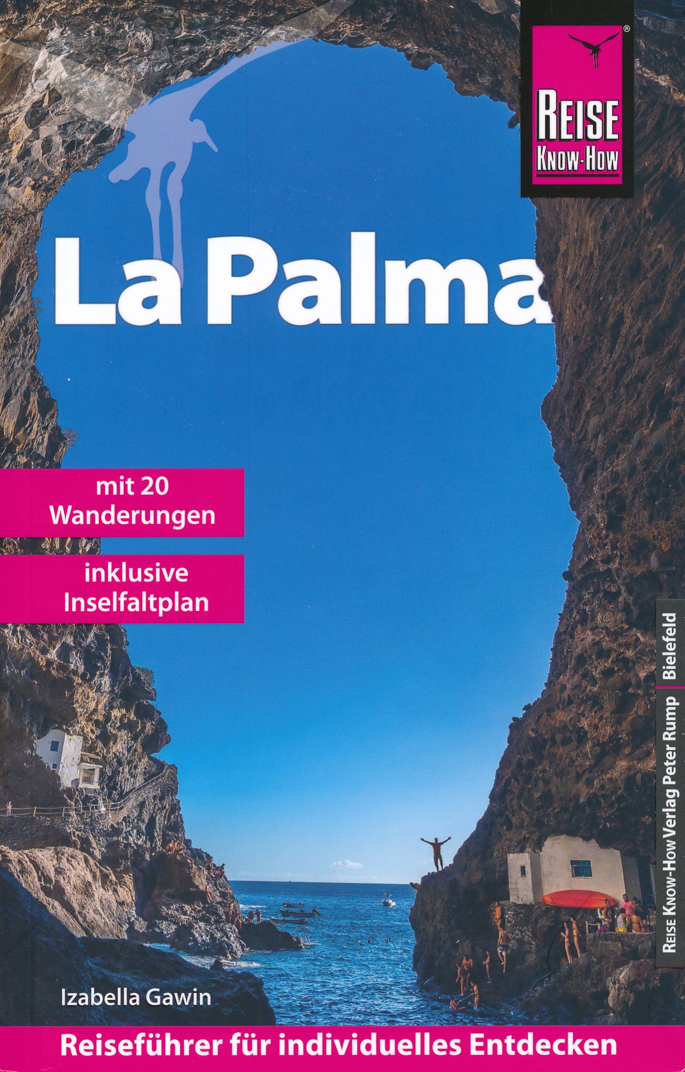
- Reisgids Merian live La Palma | Deltas
- Leuke handzame reisgids met een beschrijving van alle bezienswaardigheden; vrij veel praktische tips als het gaat om bijv. Accommodatie of restaurants. Goed voor een eerste kennismaking met het land. Handzaam reisgidsje met de volgende hoofdstukken: - Aan het strand - Excursies - Bezienswaardigheden - Eten en Drinken - Uitgangsleven -... Read more
- Also available from:
- Stanfords, United Kingdom

United Kingdom
2020
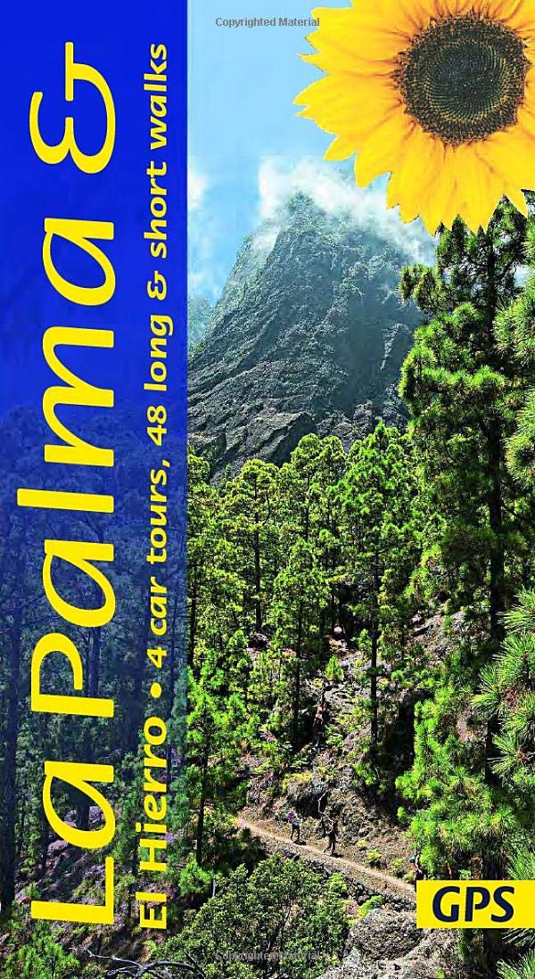
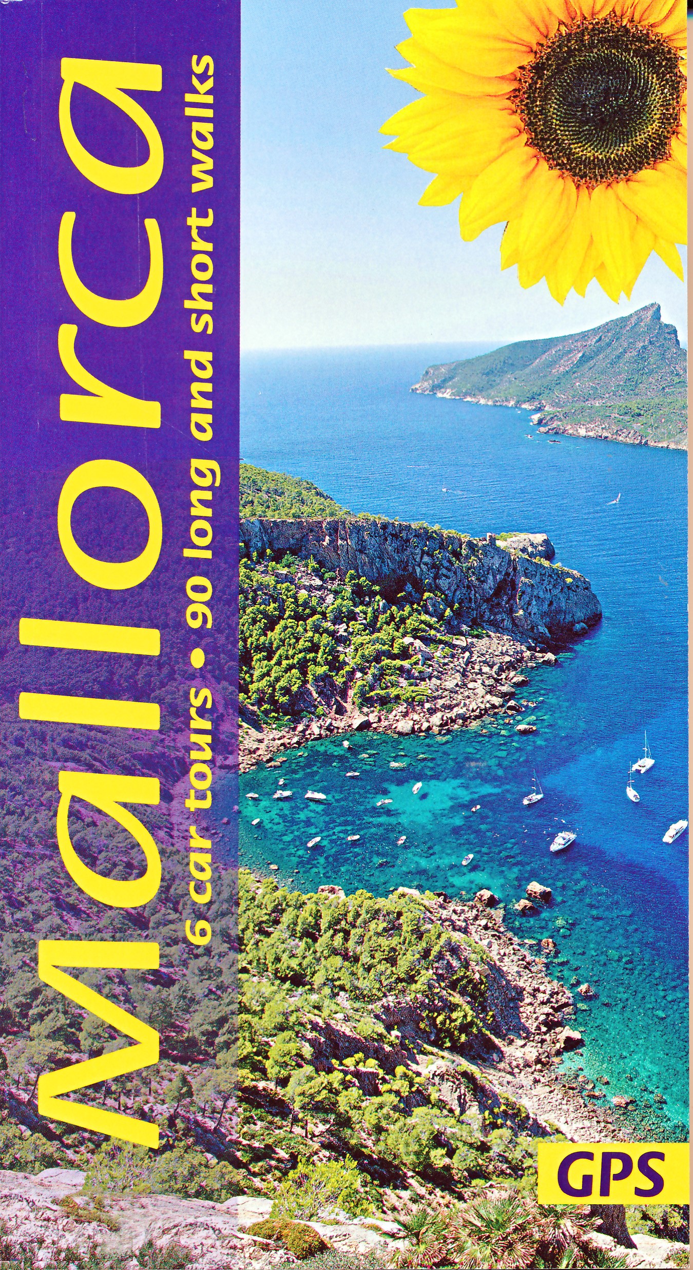
- La Palma and El Hierro Sunflower Landscape Guide
- The go-to La Palma and El Hierro travel guide for discovering the best walks and car tours. Strap on your boots and discover La Palma and El Hierro on foot with the Sunflower La Palma and El Hierro travel guide. And on the days when your feet may have had enough, enjoy some spectacular scenery on one of our legendary car tours. The Sunflower La... Read more
Netherlands
2022
- Wandelgids Mallorca | Sunflower books
- The go-to Mallorca travel guide for over 30 years. Strap on your boots and discover Mallorca on foot with the Sunflower Mallorca travel guide. And on the days when your feet may have had enough, enjoy some spectacular scenery on one of our legendary car tours. The Sunflower Mallorca guide is indispensable for hiking in Mallorca or seeing... Read more
- Also available from:
- Stanfords, United Kingdom

United Kingdom
2022
- Mallorca Guide: 90 long and short walks with detailed maps and GPS; 6 car tours with pull-out map
- The go-to Mallorca travel guide for over 30 years. Strap on your boots and discover Mallorca on foot with the Sunflower Mallorca travel guide. And on the days when your feet may have had enough, enjoy some spectacular scenery on one of our legendary car tours. The Sunflower Mallorca guide is indispensable for hiking in Mallorca or seeing... Read more
Netherlands
2017
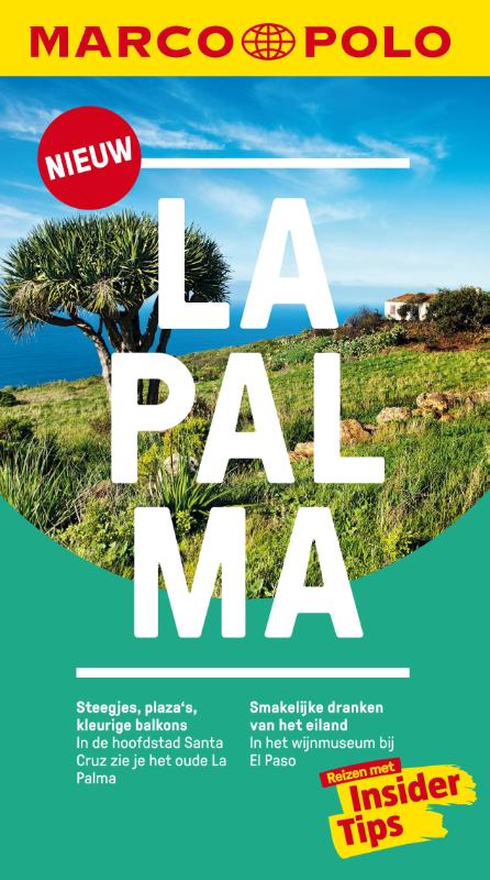
- Reisgids Marco Polo NL La Palma | 62Damrak
- Eindelijk zijn ze er weer: de Nederlandse versie van de alom bekende en gewaardeerde serie van Marco Polo. Het is een handige en overzichtelijke, kleine reisgids voor een goede kennismaking met de vakantiebestemming. Globale uitklapkaart achterin, makkelijk binnenzakformaat. Toch best veel aandacht voor de toeristische hoogtepunten en leuke... Read more
Netherlands
2013
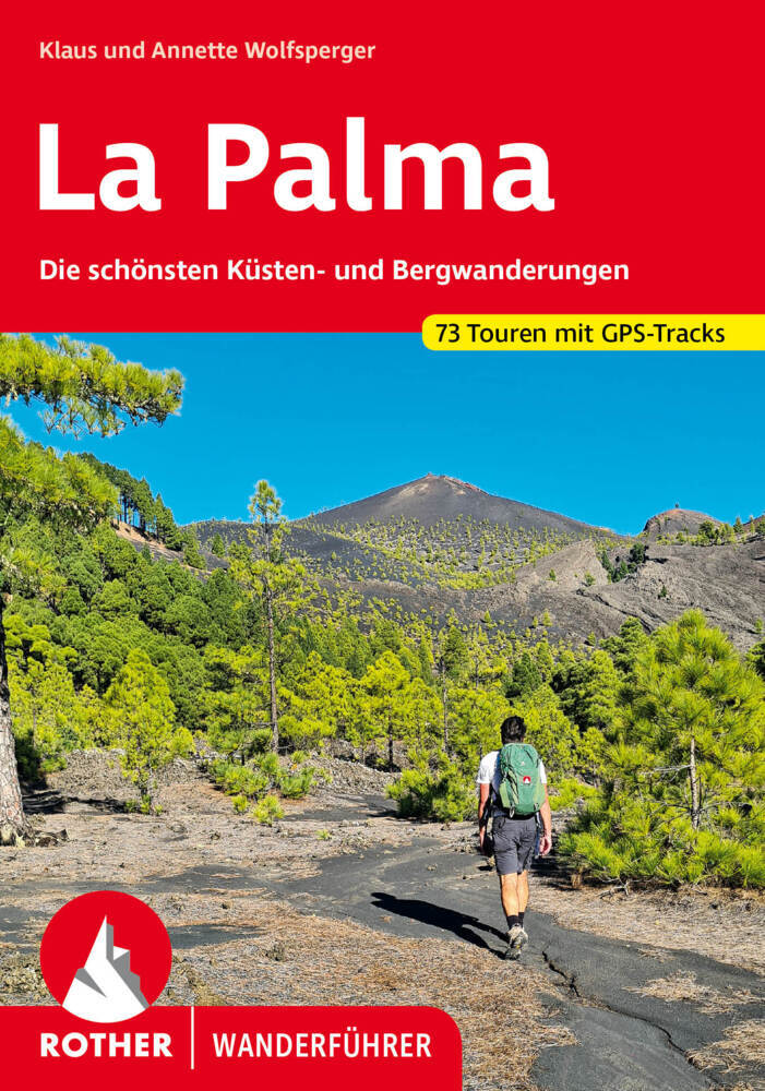
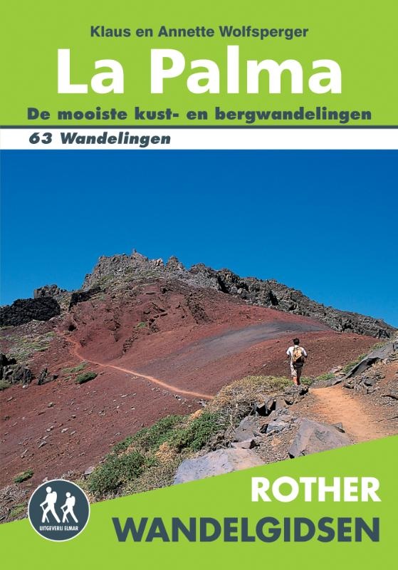
- Wandelgids La Palma | Uitgeverij Elmar
- Uitstekende wandelgids met een groot aantal dagtochten in dal en hooggebergte. Met praktische informatie en beperkt kaartmateriaal! Wandelingen in verschillende zwaarte weergegeven in rood/blauw/zwart. Deze Rother gids is vertaald in het Nederlands! De Rother wandelgids La Palma bevat 63 wandelingen. La Palma is het groenste eiland van de... Read more

Netherlands
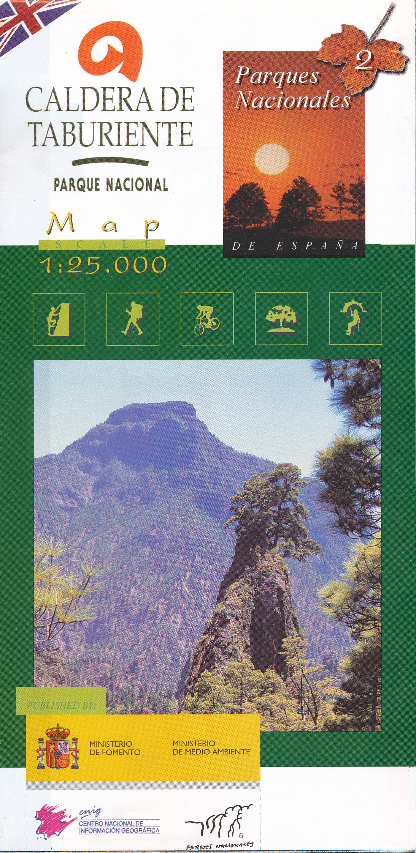
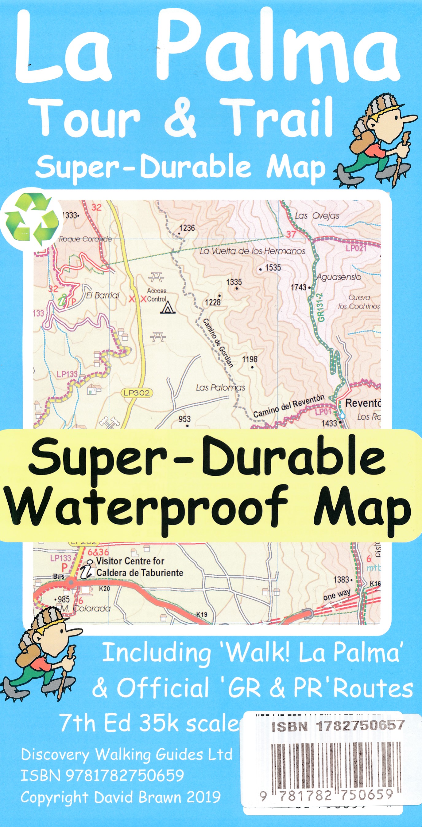
- Wandelkaart Caldera de Taburiente - La Palma | CNIG - Instituto Geográfico Nacional
- Caldera de Taburiente National Park on La Palma at 1:25,000 on a contoured and GPS compatible map from IGN/CNIG with cartography from their topographic survey of Spain. The map is accompanied by a 73-page English language guide with descriptions of walks, contact details for recommended accommodation, etc. The map has contours at 10m intervals... Read more
- Also available from:
- Stanfords, United Kingdom

United Kingdom
- Caldera de Taburiente NP - La Palma CNIG Map-Guide ENGLISH
- Caldera de Taburiente National Park on La Palma at 1:25,000 on a contoured and GPS compatible map from IGN/CNIG with cartography from their topographic survey of Spain. The map is accompanied by a 73-page English language guide with descriptions of walks, contact details for recommended accommodation, etc. The map has contours at 10m intervals... Read more
Kaarten

- Also available from:
- Stanfords, United Kingdom

United Kingdom
- Lanzarote Kompass 241
- Lanzarote at 1:50,000 on a contoured and GPS compatible map from Kompass, with extensive tourist overprint, plus street plans of Arrecife, Puerto del Carmen and Teguise. Coverage includes the nearby islands of Graciosa, Montaña Clara and Alwegranza.Topography is vividly presented by contours at 50m intervals, enhanced by relief shading plus... Read more
Netherlands
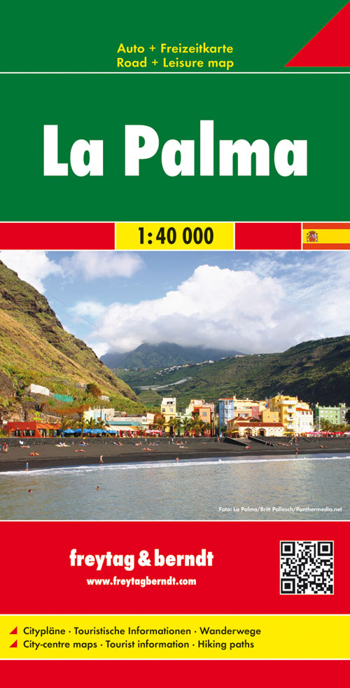
- Wandelkaart - Wegenkaart - landkaart La Palma | Freytag & Berndt
- Goede overzichtskaart van La Palma. Juist deze kaart is bij uitstek geschikt voor vele doeleinden. Zowel voor de auto als voor de aktieve vakantieganger goed. Overigens vinden wij dat de Freytag & Berndt kaarten van de Spaanse en Portugese eilanden iets meer gericht zjin op algemeen toerisme en iets minder op wandelen; voor wandelen raden we... Read more
Netherlands
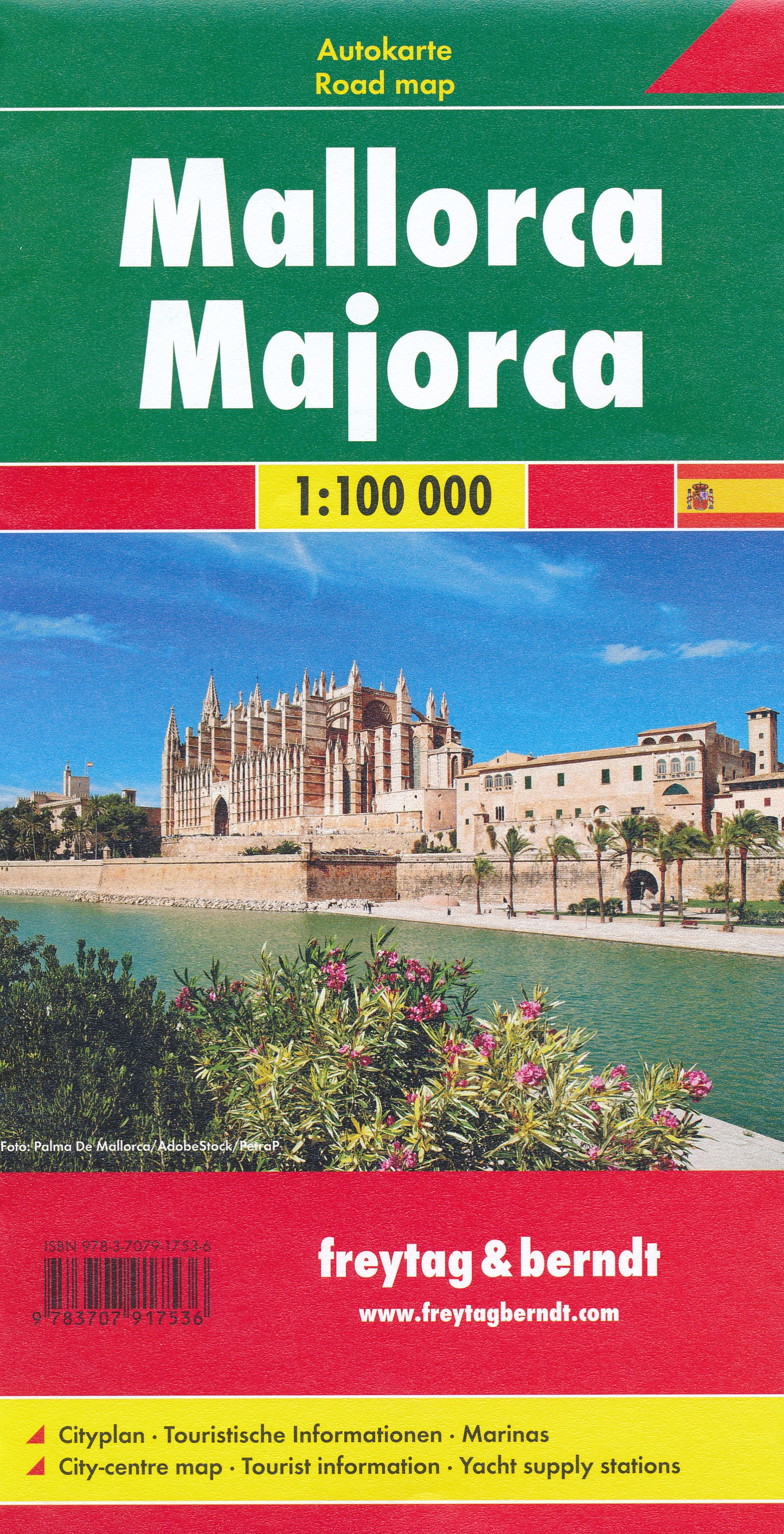
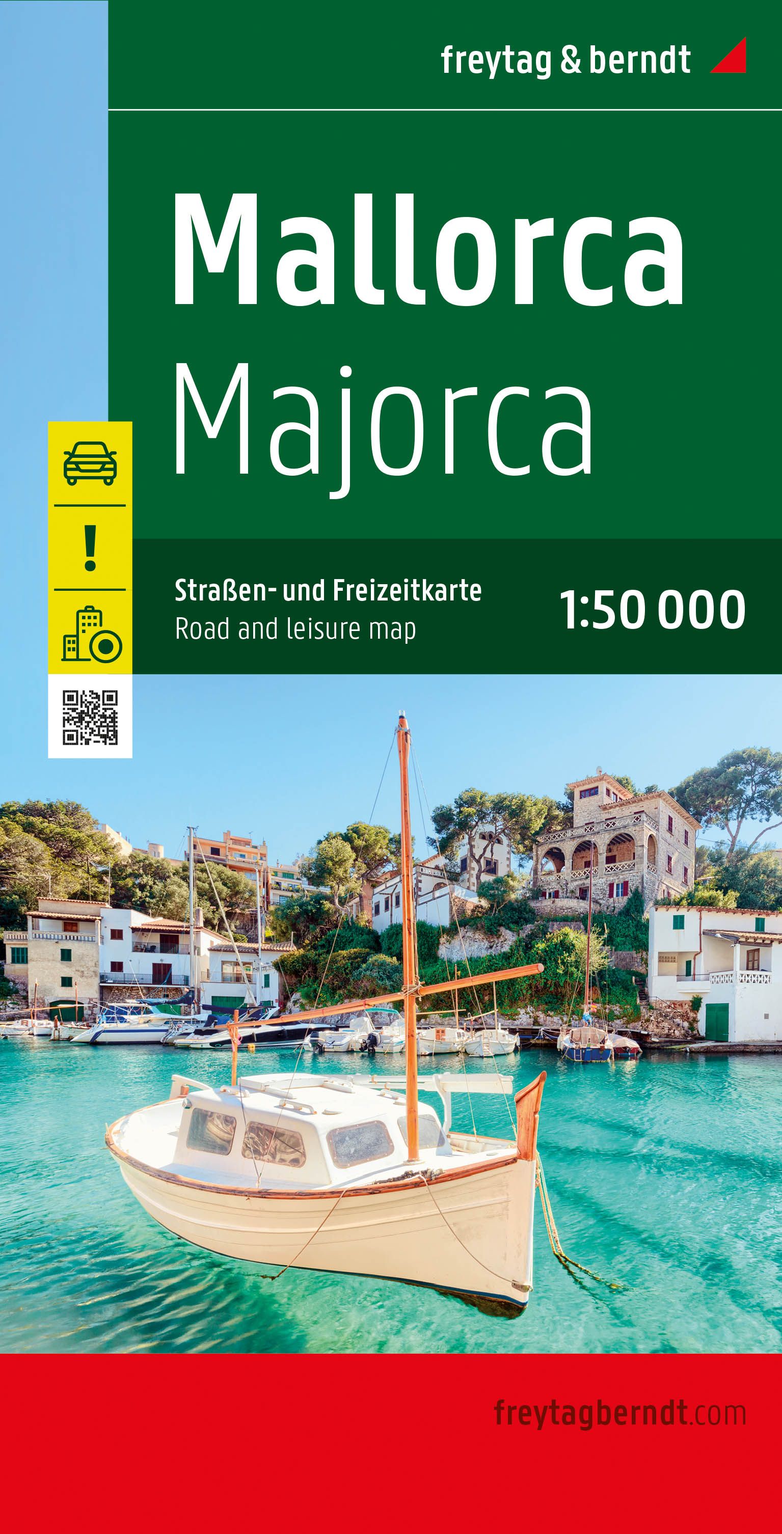
- Wegenkaart - landkaart Mallorca | Freytag & Berndt
- Majorca at 1:50,000 on a large, double-sided, contoured map from Freytag & Berndt, with highlighting for scenic roads and tourist routes, plus a booklet with a GPS-annotated index, street plan of central Palma, and multilingual descriptions of the island’s best sights.Topography is shown by contours at 100m intervals, with numerous spot height,... Read more
- Also available from:
- Stanfords, United Kingdom

United Kingdom
- Mallorca F&B
- Majorca at 1:50,000 on a large, double-sided, contoured map from Freytag & Berndt, with highlighting for scenic roads and tourist routes, plus a booklet with a GPS-annotated index, street plan of central Palma, and multilingual descriptions of the island’s best sights.Topography is shown by contours at 100m intervals, with numerous spot height,... Read more
Netherlands
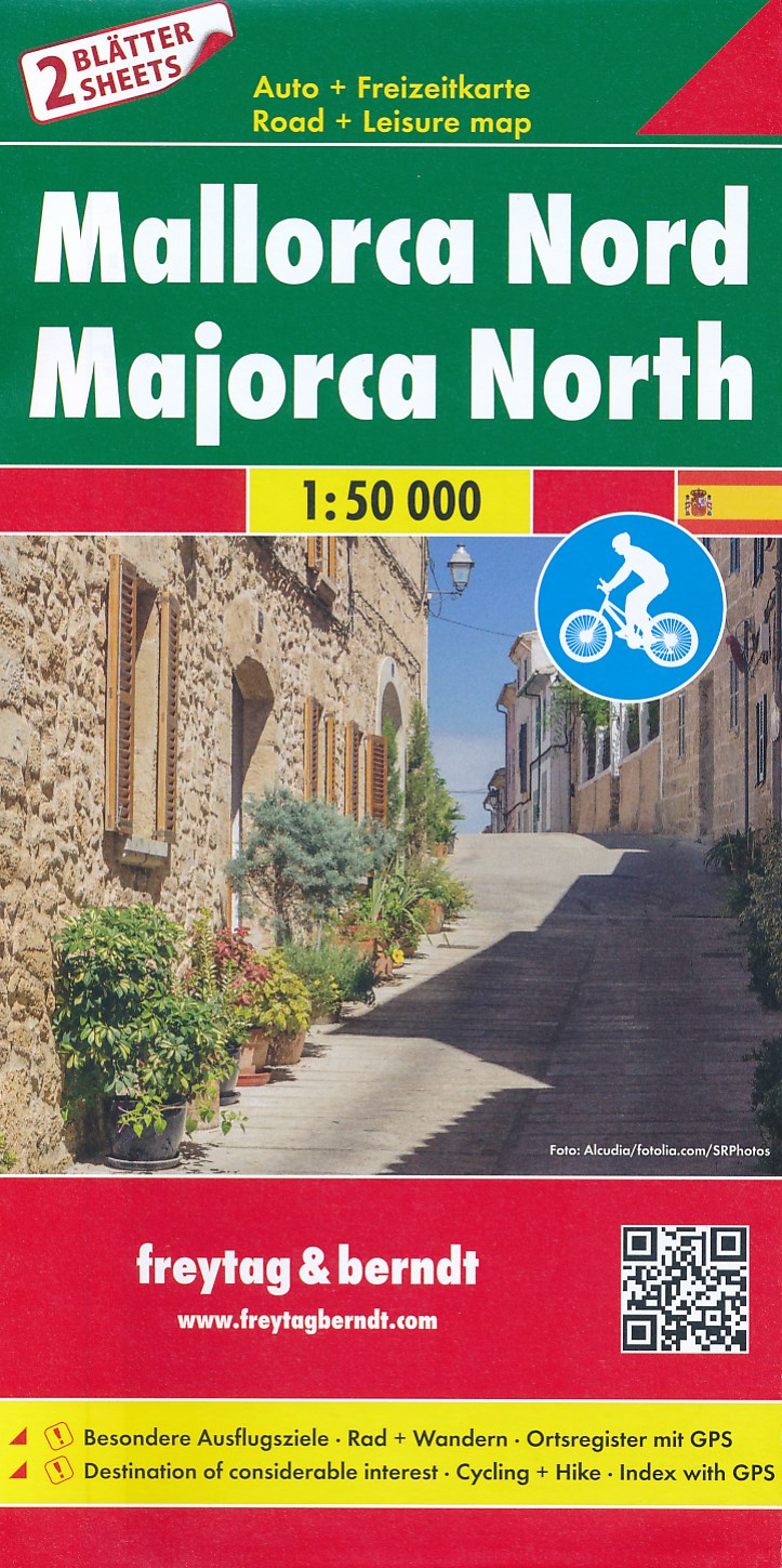
- Fietskaart - Wegenkaart - landkaart Mallorca Noord + Zuid | Freytag & Berndt
- Majorca at 1:50,000 in a set of two double-sided, contoured maps from Freytag & Berndt, with highlighting for scenic or tourist roads and recommended cycling routes, plus a booklet with a GPS-annotated index, a street plan of central Palma, and descriptions of the island’s best sights, the GR221 hiking trail, 10 cycling routes and four... Read more
- Also available from:
- Stanfords, United Kingdom

United Kingdom
- Mallorca F&B 2-Map Set
- Majorca at 1:50,000 in a set of two double-sided, contoured maps from Freytag & Berndt, with highlighting for scenic or tourist roads and recommended cycling routes, plus a booklet with a GPS-annotated index, a street plan of central Palma, and descriptions of the island’s best sights, the GR221 hiking trail, 10 cycling routes and four... Read more
Netherlands
2022
- Wegenkaart - landkaart Mallorca | Freytag & Berndt
- Majorca at 1:50,000 on a large, double-sided, contoured map from Freytag & Berndt, with highlighting for scenic roads and tourist routes, plus a booklet with a GPS-annotated index, street plan of central Palma, and multilingual descriptions of the island’s best sights.Topography is shown by contours at 100m intervals, with numerous spot height,... Read more
- Also available from:
- Stanfords, United Kingdom

United Kingdom
2022
- Mallorca F&B Road and Leisure Map
- Majorca at 1:50,000 on a large, double-sided, contoured map from Freytag & Berndt, with highlighting for scenic roads and tourist routes, plus a booklet with a GPS-annotated index, street plan of central Palma, and multilingual descriptions of the island’s best sights.Topography is shown by contours at 100m intervals, with numerous spot height,... Read more
Netherlands
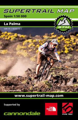
- Fietskaart La Palma | Supertrail Map
- The new Supertrail Maps show the best singletrails in Europe’s hottest mountain bike spots. These unique topographic maps make the knowledge of locals available to other mountain bikers. Consistent difficulty rating and useful additional information prevent the user from critical situations on the trails. The best singletrails in the best... Read more
- Also available from:
- Stanfords, United Kingdom

United Kingdom
- La Palma Supertrail Map
- The new Supertrail Maps show the best singletrails in Europe’s hottest mountain bike spots. These unique topographic maps make the knowledge of locals available to other mountain bikers. Consistent difficulty rating and useful additional information prevent the user from critical situations on the trails. The best singletrails in the best... Read more

Netherlands
2015
- Wegenkaart - landkaart Spanje | Borch
- Espana (Spanien) 1 : 1 875 000 ab 9.9 EURO Espana del Oeste, Espana del Este, Islas Canarias Borch Map. 9. Auflage Read more

Netherlands
- Wandelkaart WKE2 La Palma | Freytag & Berndt
- Uitstekende wandelkaart van La Palma, tweezijdig, met ingetekende routes, hoogtelijnen en andere belangrijke informatie. Ook met fietsroutes, bovendien GPS geschikt! Read more
- Also available from:
- Bol.com, Netherlands
- Bol.com, Belgium
- The Book Depository, United Kingdom

Netherlands
- FB WKE2 La Palma
- Dubbelzijdige wandel- en vrijetijdskaart • toeristische tips • stadsplattegronden • fietspaden en mountainbikeroutes • GPS-punten • ski- en langlaufroutes Read more
Belgium
- FB WKE2 La Palma
- Dubbelzijdige wandel- en vrijetijdskaart • toeristische tips • stadsplattegronden • fietspaden en mountainbikeroutes • GPS-punten • ski- en langlaufroutes Read more

United Kingdom
- La Palma Hiking + Leisure Map 1:30 000
- Uitstekende wandelkaart van La Palma, tweezijdig, met ingetekende routes, hoogtelijnen en andere belangrijke informatie. Ook met fietsroutes, bovendien GPS geschikt! Read more

Netherlands
- Tenerife Hikers Maps
- Our latest hiking research on Tenerife has resulted in new editions of Walk! Tenerife and Tenerife Hikers' Super-Durable Maps being published in 2017. Thanks to Jan Kostura's 2016 research we have several new hiking adventures described in detail in Walk! Tenerife. Jan's gps records of his research for new routes and updating of current routes... Read more
- Also available from:
- Bol.com, Belgium
Belgium
- Tenerife Hikers Maps
- Our latest hiking research on Tenerife has resulted in new editions of Walk! Tenerife and Tenerife Hikers' Super-Durable Maps being published in 2017. Thanks to Jan Kostura's 2016 research we have several new hiking adventures described in detail in Walk! Tenerife. Jan's gps records of his research for new routes and updating of current routes... Read more
Netherlands
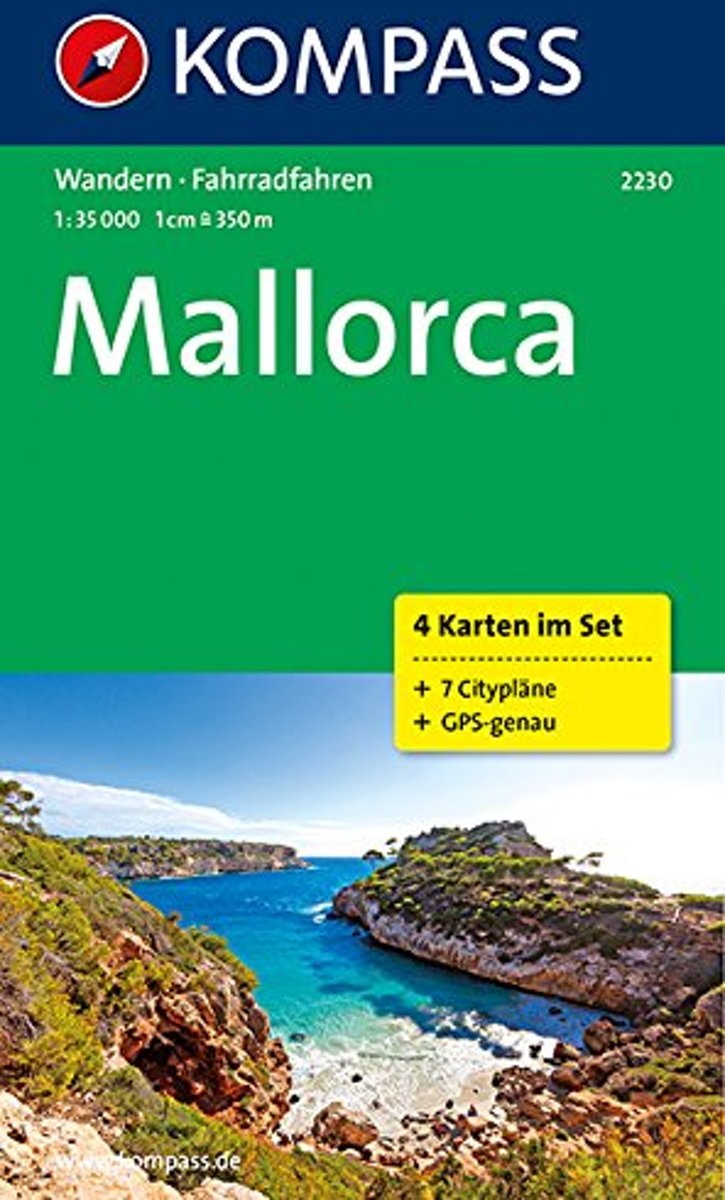
- Majorca WK2230
- Deze Kompass wandelkaart is ideaal om uw route uit te stippelen en om onderweg te gebruiken • naast de bekende bestemmingen, worden ook de minder bekende vermeld • openbaar vervoer bij begin- of eindpunt van een route aangegeven • eenvoudige wandelingen tot pittige (berg)tochten, voor getrainde en ongetrainde wandelaars • met heel veel nieuwe... Read more
- Also available from:
- Bol.com, Belgium
Belgium
- Majorca WK2230
- Deze Kompass wandelkaart is ideaal om uw route uit te stippelen en om onderweg te gebruiken • naast de bekende bestemmingen, worden ook de minder bekende vermeld • openbaar vervoer bij begin- of eindpunt van een route aangegeven • eenvoudige wandelingen tot pittige (berg)tochten, voor getrainde en ongetrainde wandelaars • met heel veel nieuwe... Read more

Netherlands
- Lanzarote WK241
- Toeristische kaart voor wandelen, fietsen en vrije tijd met activiteitengids en stadsplattegronden • goed leesbare schaal van 1:50 000 • te gebruiken met GPS • met praktische informatie over de regio • wandel- en fietspaden • aanbevolen routes • kastelen • uitzichtpunten • stranden en baaien • toeristische informatie • veel topografische... Read more
- Also available from:
- Bol.com, Belgium
Belgium
- Lanzarote WK241
- Toeristische kaart voor wandelen, fietsen en vrije tijd met activiteitengids en stadsplattegronden • goed leesbare schaal van 1:50 000 • te gebruiken met GPS • met praktische informatie over de regio • wandel- en fietspaden • aanbevolen routes • kastelen • uitzichtpunten • stranden en baaien • toeristische informatie • veel topografische... Read more

Netherlands
- Kanaren/DVD-ROM
- Deze digitale wandel-, fiets- en skiroute kaarten van Kompass op CD of DVD zijn bruikbaar met GPS • je kunt inzoomen op de kaart tot een schaal van 1: 10 000 • prima manier om je eigen route te plannen, met hoogteprofielen • zeer eenvoudig om de gekozen route te printen of te downloaden op mobiele telefoon of PDA • vlieg vogelvlucht over een... Read more
- Also available from:
- Bol.com, Belgium
Belgium
- Kanaren/DVD-ROM
- Deze digitale wandel-, fiets- en skiroute kaarten van Kompass op CD of DVD zijn bruikbaar met GPS • je kunt inzoomen op de kaart tot een schaal van 1: 10 000 • prima manier om je eigen route te plannen, met hoogteprofielen • zeer eenvoudig om de gekozen route te printen of te downloaden op mobiele telefoon of PDA • vlieg vogelvlucht over een... Read more
Netherlands
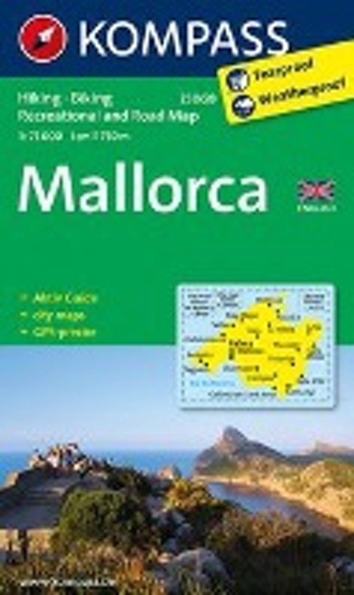
- Kompass WK230 Mallorca GB
- Toeristischegids + kaart voor wandelen, fietsen en vrije tijd met activiteitengids en stadsplattegronden • goed leesbare schaal van 1:75 000 • te gebruiken met GPS • met praktische informatie over de regio • wandel- en fietspaden • aanbevolen routes • kastelen • uitzichtpunten • stranden en baaien • toeristische informatie • veel topografische... Read more
- Also available from:
- Bol.com, Belgium
Belgium
- Kompass WK230 Mallorca GB
- Toeristischegids + kaart voor wandelen, fietsen en vrije tijd met activiteitengids en stadsplattegronden • goed leesbare schaal van 1:75 000 • te gebruiken met GPS • met praktische informatie over de regio • wandel- en fietspaden • aanbevolen routes • kastelen • uitzichtpunten • stranden en baaien • toeristische informatie • veel topografische... Read more
Netherlands
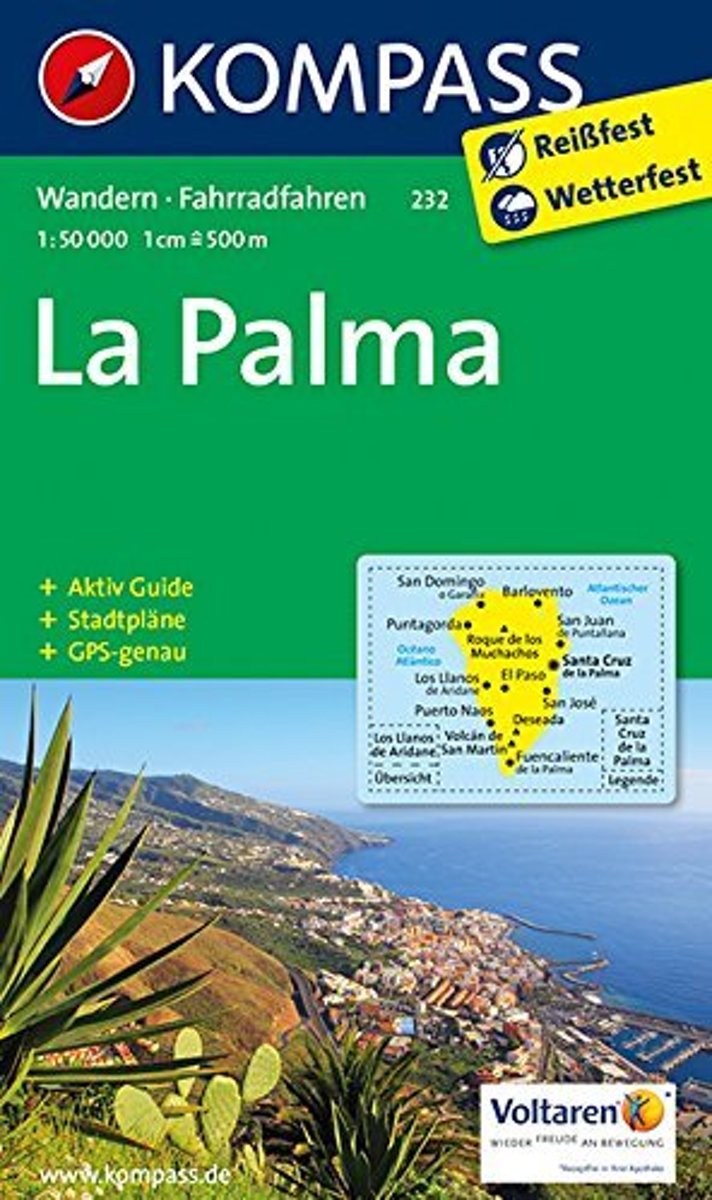
- Kompass WK232 La Palma
- Toeristische kaart voor wandelen, fietsen en vrije tijd met activiteitengids en stadsplattegronden • goed leesbare schaal van 1:50 000 • te gebruiken met GPS • met praktische informatie over de regio • wandel- en fietspaden • aanbevolen routes • kastelen • uitzichtpunten • stranden en baaien • toeristische informatie • veel topografische... Read more
- Also available from:
- Bol.com, Belgium
Belgium
- Kompass WK232 La Palma
- Toeristische kaart voor wandelen, fietsen en vrije tijd met activiteitengids en stadsplattegronden • goed leesbare schaal van 1:50 000 • te gebruiken met GPS • met praktische informatie over de regio • wandel- en fietspaden • aanbevolen routes • kastelen • uitzichtpunten • stranden en baaien • toeristische informatie • veel topografische... Read more