
Berner Oberland
Beschrijving
Kaart

Paden in deze regio
Links
Feiten
Verslagen
Gidsen en kaarten
Overnachting
Organisaties
Reisorganisaties
GPS
Anders
Boeken
De Zwerver
Netherlands
2017
Netherlands
2017
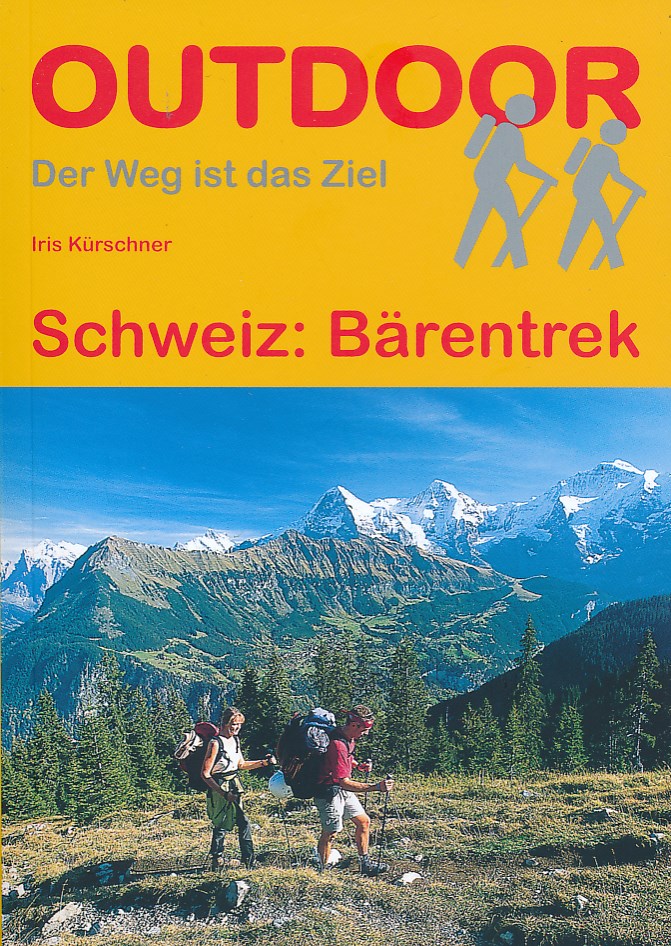
- Wandelgids Bärentrek - Zwitserland | Conrad Stein Verlag
- Kleine wandelgids met veel praktische informatie. Kaartmateriaal is erg beperkt. Im Berner Oberland drängt sich auf engstem Raum eine der berühmtesten Bergwelten zusammen, darunter das viel bestaunte Gipfeltrio von Eiger, Mönch & Jungfrau. Allein im östlichen Teil der Berner Alpen recken 8 der insgesamt 47 Schweizer Viertausender ihre... Read more

De Zwerver
Netherlands
2018
Netherlands
2018
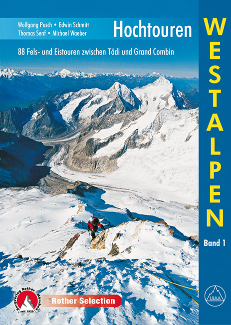
- Klimgids - Klettersteiggids Hochtouren Westalpen | Rother Bergverlag
- 88 Fels- und Eistouren zwischen Tödi und Grand Combin Rother Selection. 4., aktualisierte Auflage. Read more
- Also available from:
- Stanfords, United Kingdom

Stanfords
United Kingdom
2019
United Kingdom
2019
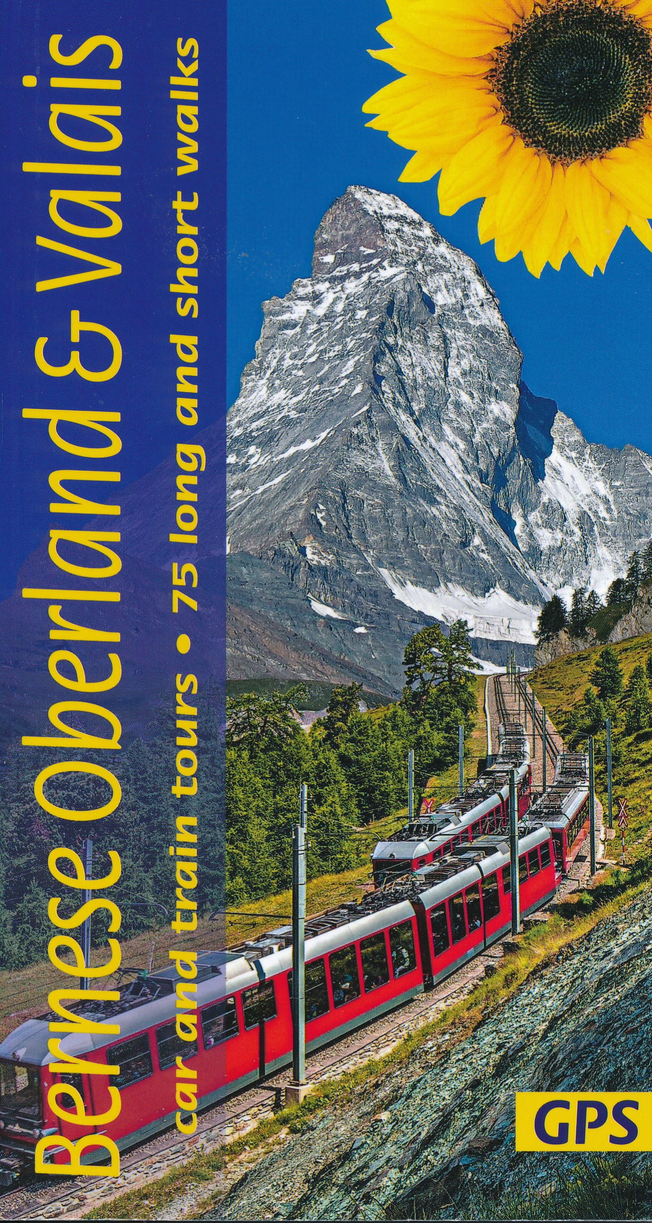
- Bernese Overland and Valais Sunflower Landscape Guide
- The go-to Bernese Oberland travel guide for discovering the best walks and car tours. Strap on your boots and discover Bernese Oberland on foot with the Sunflower Bernese Oberland travel guide. And on the days when your feet may have had enough, enjoy some spectacular scenery on one of our legendary car tours or train tours. The Sunflower... Read more

De Zwerver
Netherlands
2022
Netherlands
2022
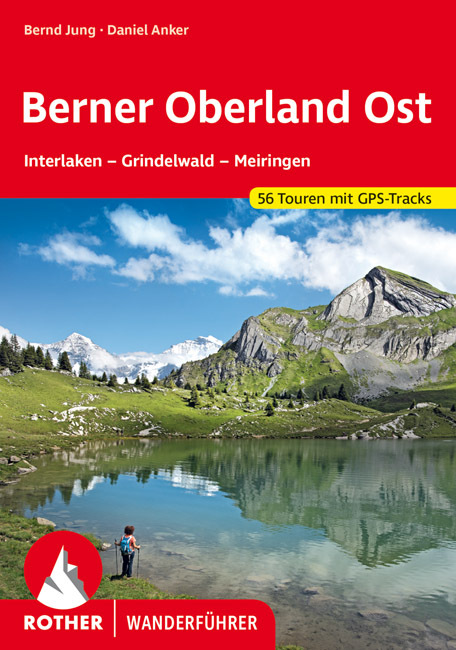
- Wandelgids Berner Oberland · Ost | Rother Bergverlag
- Uitstekende wandelgids met een groot aantal dagtochten in dal en hooggebergte. Met praktische informatie en beperkt kaartmateriaal! Wandelingen in verschillende zwaarte weergegeven in rood/blauw/zwart. Das Berner Oberland wird gerne als »Spielplatz Europas« bezeichnet. Hier – besonders im östlichen Teil mit seinen bekannten Fremdenverkehrsorten... Read more
De Zwerver
Netherlands
2022
Netherlands
2022
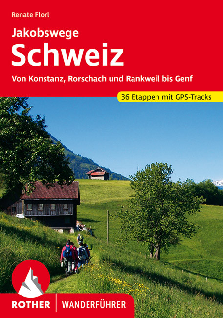
- Wandelgids Jakobswege Schweiz (Jakobsweg Zwitserland) | Rother Bergverlag
- Deze wandelgids beschrijft de Jakobsweg van Koblenz, Rorschach en Rankweil (Oostenrijk) bij Geneve en aan de Franse grens. Het geheel is opgedeeld in 36 etappes die precies beschreven zijn en aangevuld met goeie wandelkaartjes en GPS tracks (te downloaden). Overnachtingsmogelijkheden, bezienswaardigheden en achtergrondinformatie maken dit... Read more

De Zwerver
Netherlands
2021
Netherlands
2021
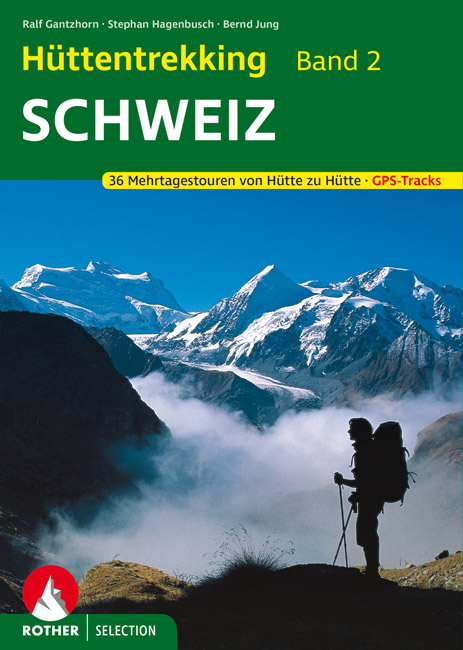
- Wandelgids Hüttentrekking Schweiz - Zwitserland Band 2 | Rother Bergverlag
- Absolute aanrader als het gaat om meerdaagse tochten van hut naar hut in Zwitserland. Gedegen Duitstalig boek! Die Schweiz gilt als Inbegriff einer schönen Landschaft. Nicht zufällig werden weltweit die unterschiedlichsten Regionen mit dem Beinamen der kleinen Alpenrepublik versehen und stets ist ein besonders reizvolles Fleckchen unserer Erde... Read more
De Zwerver
Netherlands
2022
Netherlands
2022
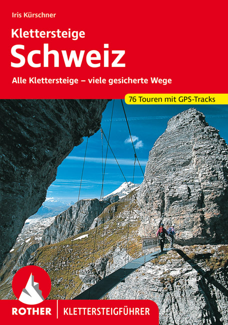
- Klimgids - Klettersteiggids Klettersteige Schweiz | Rother Bergverlag
- Alle 42 Klettersteige sowie die 24 schönsten gesicherten Wege, darunter eine 5-Tages-Tour Rother Wanderführer. 4., erweiterte und aktualisierte Auflage. Read more
De Zwerver
Netherlands
2021
Netherlands
2021
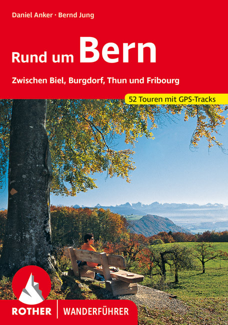
- Wandelgids Rund um Bern | Rother Bergverlag
- Uitstekende wandelgids met een groot aantal dagtochten in dal en hooggebergte. Met praktische informatie en beperkt kaartmateriaal! Wandelingen in verschillende zwaarte weergegeven in rood/blauw/zwart. B50 Höhenprofile, 50 Wanderkärtchen im Maßstab 1:25.000, 1:50.000, 1:75.000 und 1:100.000, zwei Übersichtskarten im Maßstab 1:350.000 und... Read more
Meer boeken…
Kaarten
De Zwerver
Netherlands
Netherlands
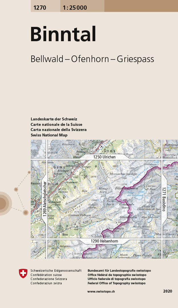
- Wandelkaart - Topografische kaart 1270 Binntal | Swisstopo
- Map No. 1270, Binntal, in the topographic survey of Switzerland at 1:25,000 from Bundesamt f Read more
- Also available from:
- Stanfords, United Kingdom

Stanfords
United Kingdom
United Kingdom
- Binntal Swisstopo 1270
- Map No. 1270, Binntal, in the topographic survey of Switzerland at 1:25,000 from Bundesamt für Landestopographie (swisstopo), covering the whole country on 247 small format sheets, with special larger maps published for popular regions including some titles now available in hiking versions.Highly regarded for their superb use of graphic relief... Read more
De Zwerver
Netherlands
Netherlands
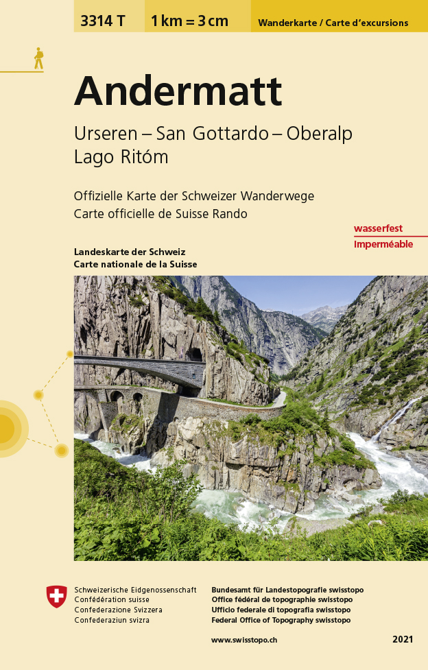
- Wandelkaart - Topografische kaart 3314T Andermatt | Swisstopo
- Een nieuwe serie van de Zwitserse topografische dienst: eindelijk goede wandelkaarten met ingetekende wandelroutes op scheur- en watervast papier. Vooralsnog zijn ze uitgebracht van de populaire wandelgebieden en niet landelijk dekkend (zie overzicht) Op een gedetailleerde schaal van 1:33.333 met als ondergrond de onovertroffen topografische... Read more
- Also available from:
- Stanfords, United Kingdom

Stanfords
United Kingdom
United Kingdom
- Andermatt - Urseren - Gotthard - Oberalp - Lago Ritom Swisstopo Hiking 3314T
- Andermatt area at 1:33,333 on light, waterproof and tear-resistant map No. 3314T published by Swisstopo in cooperation with the Swiss Hiking Federation. Cartography is the same as in Swisstopo’s 50K hiking maps, simply enlarged to 1:33,333 for extra clarity but without additional information. 1:33,333 editions of Swisstopo’s hiking maps have... Read more
De Zwerver
Netherlands
Netherlands
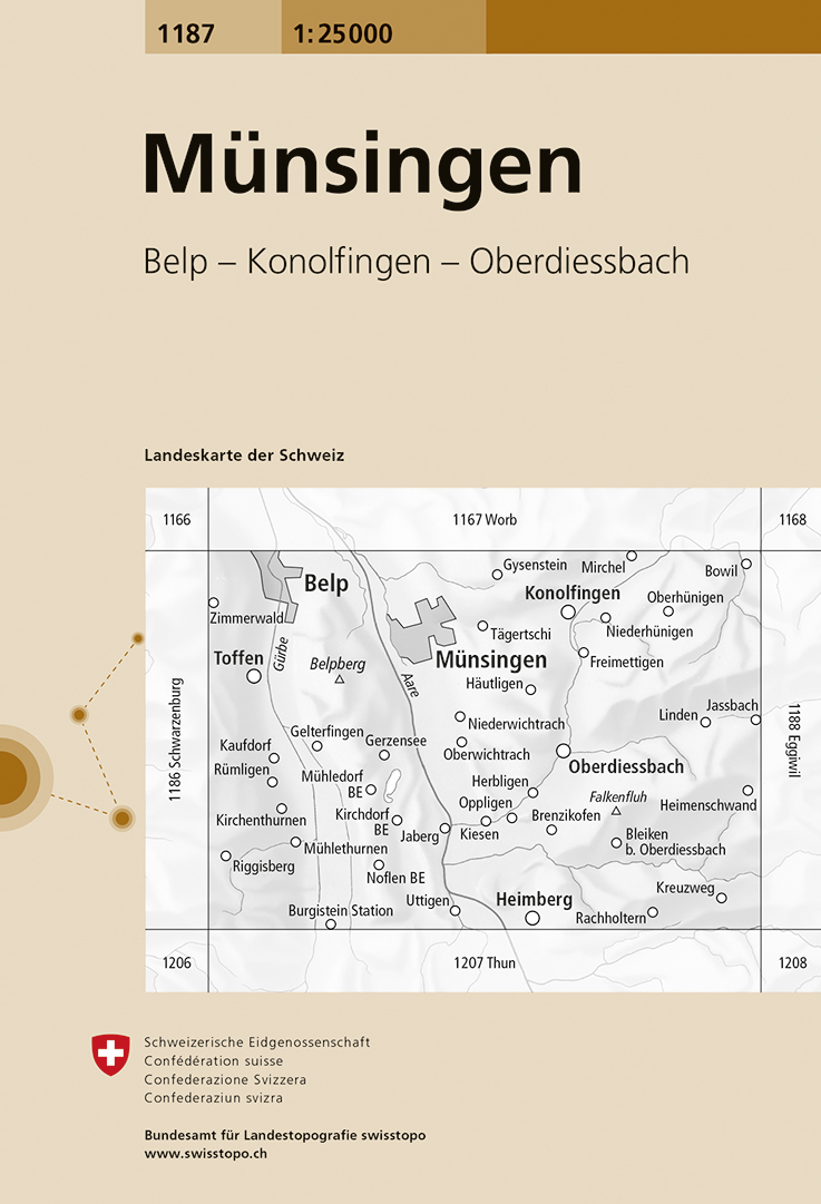
- Wandelkaart - Topografische kaart 1187 Münsingen | Swisstopo
- Zeer gedetailleerde wandelkaart van een deel van Zwitserland. De topografische details van deze kaarten zijn onovertroffen; de werkelijkheid is perfect weergegeven op deze kaart van uitzonderlijk hoog niveau. Ze zijn geschikt voor alle soorten gebruik: voor eenvoudige wandeltochten in simpel terrein tot zware bergtochten en beklimmingen van de... Read more
- Also available from:
- Stanfords, United Kingdom

Stanfords
United Kingdom
United Kingdom
- Münsingen Swisstopo 1187
- Map No. 1187, Münsingen, in the topographic survey of Switzerland at 1:25,000 from Bundesamt für Landestopographie (swisstopo), covering the whole country on 247 small format sheets, with special larger maps published for popular regions including some titles now available in hiking versions.Highly regarded for their superb use of graphic... Read more
De Zwerver
Netherlands
Netherlands
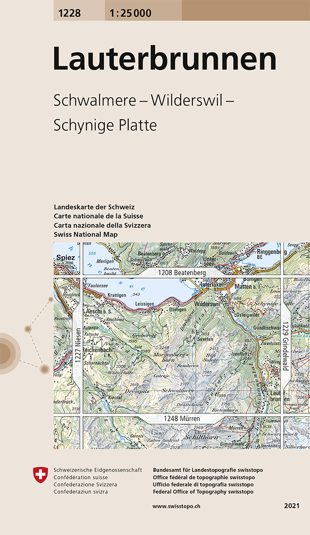
- Wandelkaart - Topografische kaart 1228 Lauterbrunnen | Swisstopo
- Map No. 1228, Lauterbrunnen, in the topographic survey of Switzerland at 1:25,000 from Swisstopo. Coverage includes Interlaken with the southern part of the Thunersee and the area south of it with Wengen, Wilderswil, and the peaks of Schynige Platte and Schalmere.Swiss topographic survey at 1:25,000 covers the whole country on 247 small format... Read more
- Also available from:
- Stanfords, United Kingdom

Stanfords
United Kingdom
United Kingdom
- Lauterbrunnen Swisstopo 1228
- Map No. 1228, Lauterbrunnen, in the topographic survey of Switzerland at 1:25,000 from Swisstopo. Coverage includes Interlaken with the southern part of the Thunersee and the area south of it with Wengen, Wilderswil, and the peaks of Schynige Platte and Schalmere.Swiss topographic survey at 1:25,000 covers the whole country on 247 small format... Read more
De Zwerver
Netherlands
Netherlands
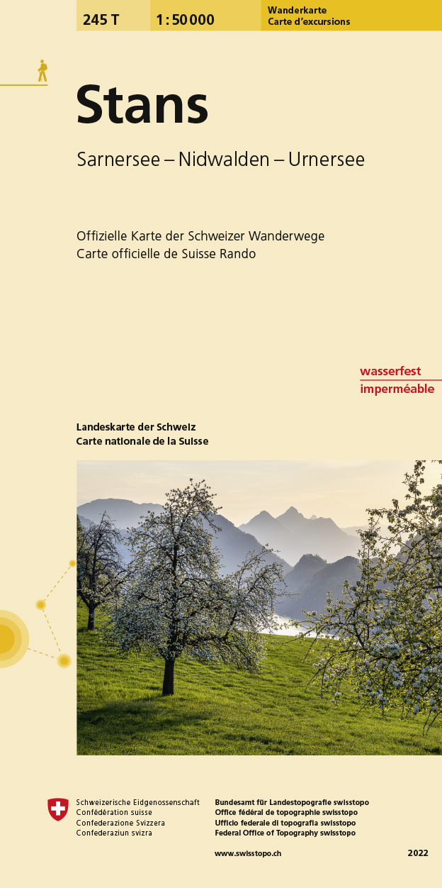
- Wandelkaart 245T Stans | Swisstopo
- Stans area, map No. 245T, at 1:50,000 in a special hiking edition of the country Read more
- Also available from:
- Stanfords, United Kingdom

Stanfords
United Kingdom
United Kingdom
- Stans Swisstopo Hiking 245T
- Stans area, map No. 245T, at 1:50,000 in a special hiking edition of the country’s topographic survey, published by Swisstopo in cooperation with the Swiss Hiking Federation. Coverage includes the southern part of Lake Lucerne, Pilatus and the Engelberg area.Cartography, identical to the standard version of the survey, is highly regarded for... Read more
De Zwerver
Netherlands
Netherlands
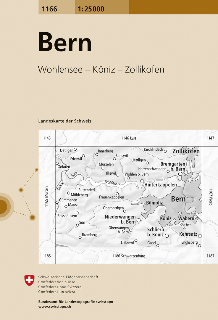
- Wandelkaart - Topografische kaart 1166 Bern | Swisstopo
- Map No. 1166, Bern, in the topographic survey of Switzerland at 1:25,000 from Bundesamt f Read more
- Also available from:
- Stanfords, United Kingdom
Stanfords
United Kingdom
United Kingdom
- Bern Swisstopo 1166
- Map No. 1166, Bern, in the topographic survey of Switzerland at 1:25,000 from Bundesamt für Landestopographie (swisstopo), covering the whole country on 247 small format sheets, with special larger maps published for popular regions including some titles now available in hiking versions.Highly regarded for their superb use of graphic relief and... Read more
De Zwerver
Netherlands
Netherlands
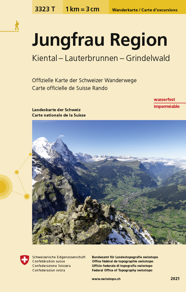
- Wandelkaart - Topografische kaart 3323T Jungfrau Region | Swisstopo
- Die wasser- und reissfesten Wanderkarten im handlichen Format. Read more
- Also available from:
- Stanfords, United Kingdom

Stanfords
United Kingdom
United Kingdom
- Jungfrau Region - Kiental - Lauterbrunnen - Grindelwald Swisstopo Hiking 3323T
- Jungfrau Region: Grindelwald - Wengen - Mürren - Kandersteg area of the Bernese Oberland at 1:33,333 on light, waterproof and tear-resistant map No. 3323T published by Swisstopo in cooperation with the Swiss Hiking Federation. Cartography is the same as in Swisstopo’s 50K hiking maps, simply enlarged to 1:33,333 for extra clarity but without... Read more
De Zwerver
Netherlands
Netherlands
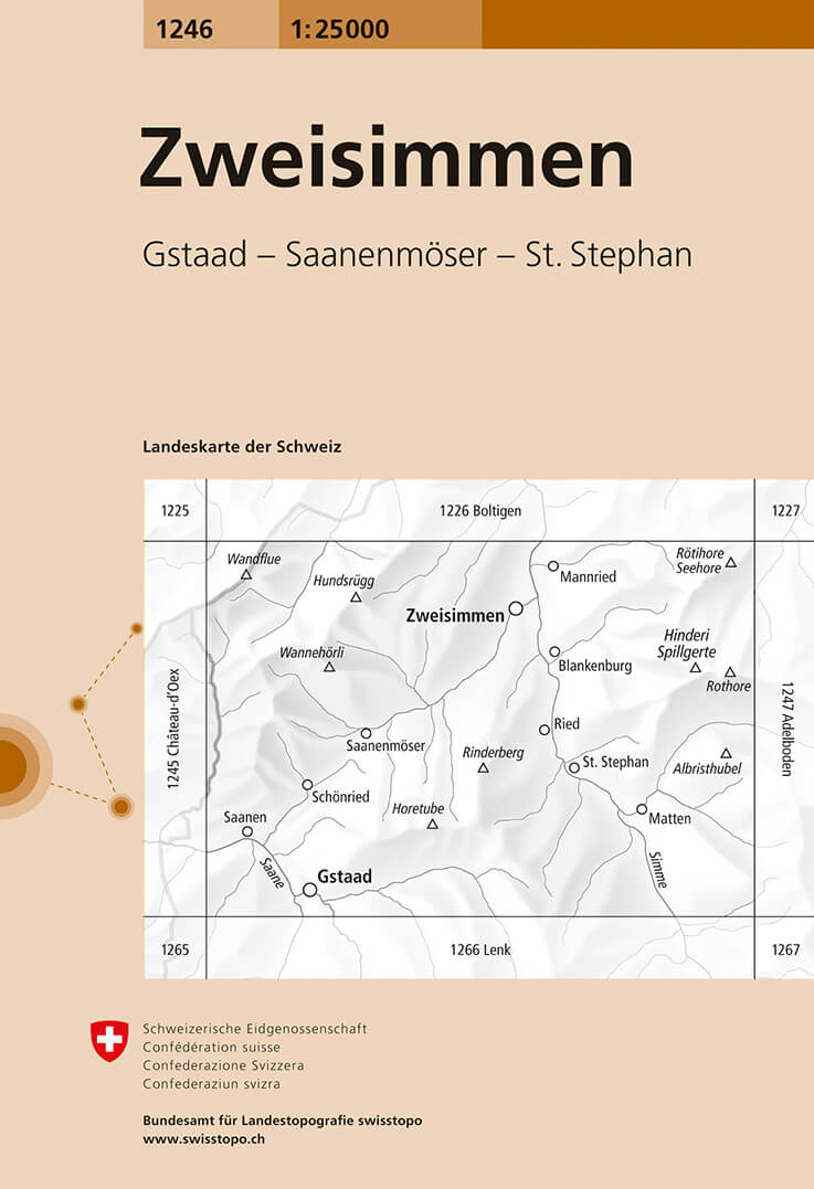
- Wandelkaart - Topografische kaart 1246 Zweisimmen | Swisstopo
- Map No. 1246, Zweisimmen, in the topographic survey of Switzerland at 1:25,000 from Bundesamt f Read more
- Also available from:
- Stanfords, United Kingdom

Stanfords
United Kingdom
United Kingdom
- Zweisimmen Swisstopo 1246
- Map No. 1246, Zweisimmen, in the topographic survey of Switzerland at 1:25,000 from Bundesamt für Landestopographie (swisstopo), covering the whole country on 247 small format sheets, with special larger maps published for popular regions including some titles now available in hiking versions.Highly regarded for their superb use of graphic... Read more
De Zwerver
Netherlands
Netherlands
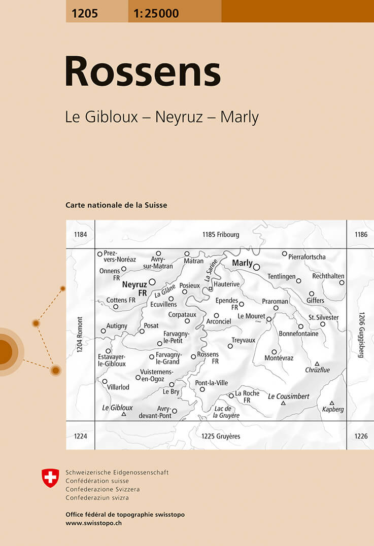
- Wandelkaart - Topografische kaart 1205 Rossens | Swisstopo
- Map No. 1205, Rossens, in the topographic survey of Switzerland at 1:25,000 from Bundesamt f Read more
- Also available from:
- Stanfords, United Kingdom
Stanfords
United Kingdom
United Kingdom
- Rossens Swisstopo 1205
- Map No. 1205, Rossens, in the topographic survey of Switzerland at 1:25,000 from Bundesamt für Landestopographie (swisstopo), covering the whole country on 247 small format sheets, with special larger maps published for popular regions including some titles now available in hiking versions.Highly regarded for their superb use of graphic relief... Read more

De Zwerver
Netherlands
Netherlands
- Wandelkaart 07 Valli Maira, grana e stura | IGC - Istituto Geografico Centrale
- Maira, Grana and Stura Valleys, map no. 7, in a series contoured hiking maps at 1:50,000 with local trails, long-distance footpaths, mountain accommodation, etc. from the Turin based Istituto Geografico Centrale covering the Italian Alps and Piedmont, the lakes and northern Lombardy, and the Italian Riviera.The maps have contours at 50m... Read more
- Also available from:
- Stanfords, United Kingdom

Stanfords
United Kingdom
United Kingdom
- Maira, Grana and Stura Valleys IGC 7
- Maira, Grana and Stura Valleys in a series contoured hiking maps at 1:50,000 with local trails, long-distance footpaths, mountain accommodation, etc. from the Turin based Istituto Geografico Centrale.Maps in this series have contours at 50m intervals, enhanced by shading and graphic relief. An overprint highlights local footpaths and... Read more
De Zwerver
Netherlands
Netherlands
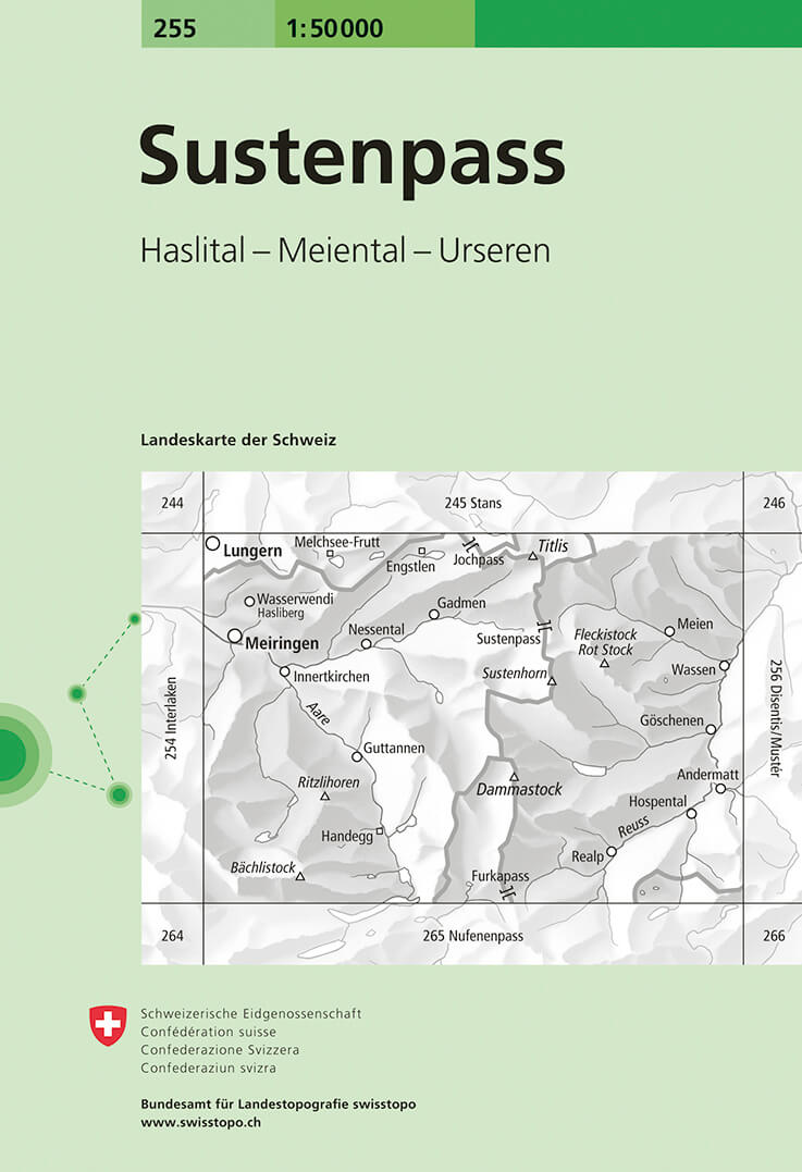
- Wandelkaart - Topografische kaart 255 Sustenpass | Swisstopo
- Sustenpass, map No. 255, in the standard topographic survey of Switzerland at 1:50,000 from Swisstopo, i.e. without the special overprint highlighting walking trails, local bus stops, etc, presented in Swisstopo Read more
- Also available from:
- Stanfords, United Kingdom

Stanfords
United Kingdom
United Kingdom
- Sustenpass Swisstopo 255
- Sustenpass, map No. 255, in the standard topographic survey of Switzerland at 1:50,000 from Swisstopo, i.e. without the special overprint highlighting walking trails, local bus stops, etc, presented in Swisstopo’s hiking editions of the 50K survey. Highly regarded for their superb use of graphic relief and hill shading, the maps give an almost... Read more
De Zwerver
Netherlands
Netherlands
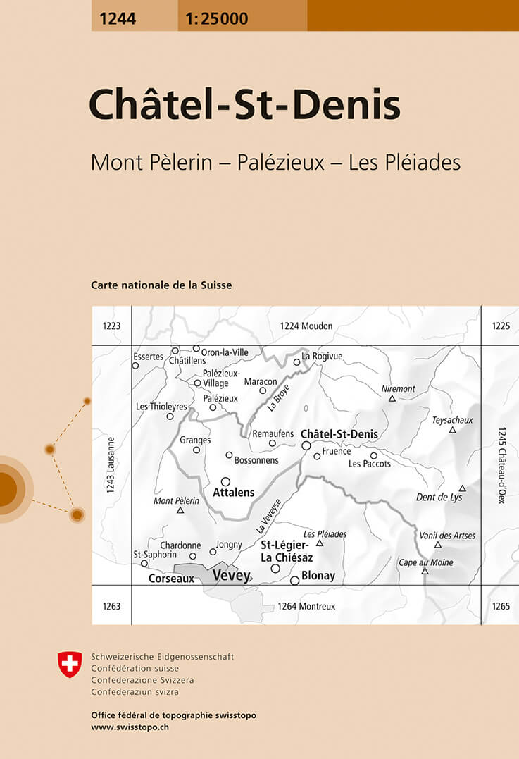
- Wandelkaart - Topografische kaart 1244 Châtel-St-Denis | Swisstopo
- Zeer gedetailleerde wandelkaart van een deel van Zwitserland. De topografische details van deze kaarten zijn onovertroffen; de werkelijkheid is perfect weergegeven op deze kaart van uitzonderlijk hoog niveau. Ze zijn geschikt voor alle soorten gebruik: voor eenvoudige wandeltochten in simpel terrein tot zware bergtochten en beklimmingen van de... Read more
- Also available from:
- Stanfords, United Kingdom

Stanfords
United Kingdom
United Kingdom
- Châtel-St-Denis Swisstopo 1244
- Map No. 1244, Châtel-St-Denis, in the topographic survey of Switzerland at 1:25,000 from Bundesamt für Landestopographie (swisstopo), covering the whole country on 247 small format sheets, with special larger maps published for popular regions including some titles now available in hiking versions.Highly regarded for their superb use of graphic... Read more
De Zwerver
Netherlands
Netherlands
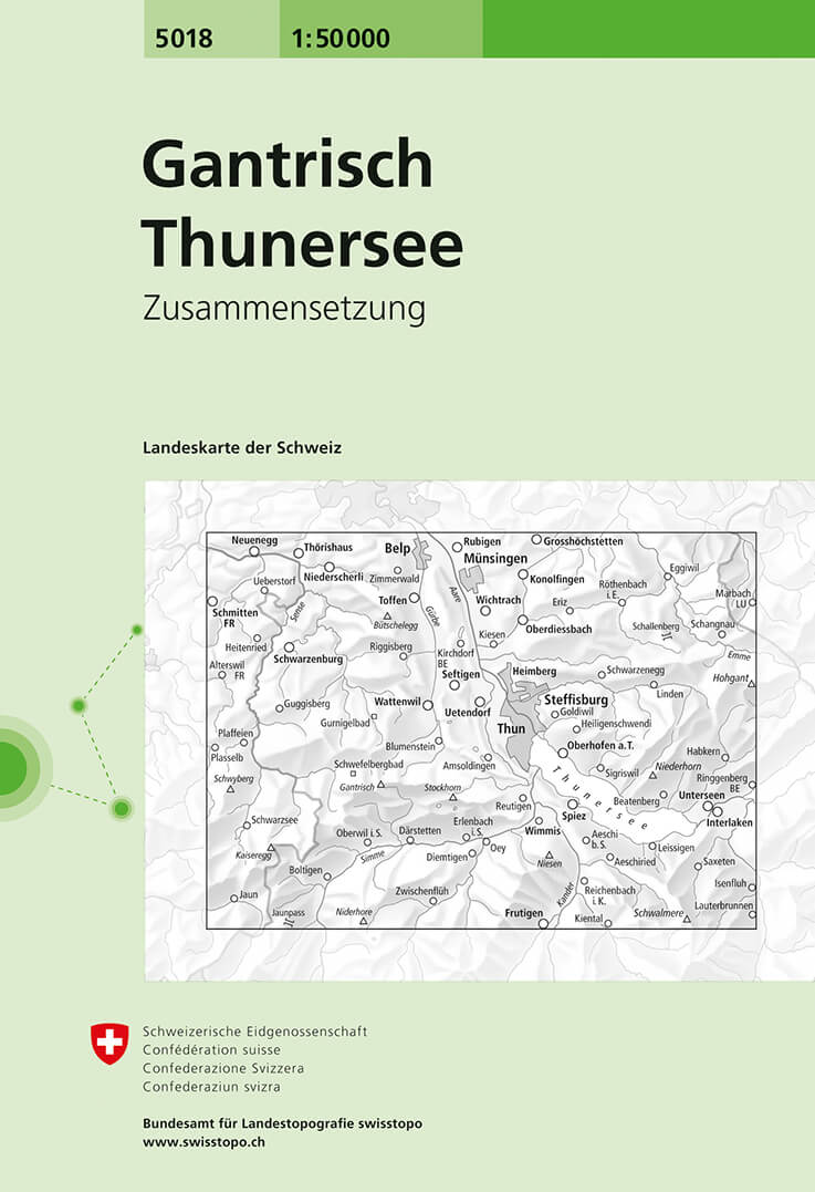
- Wandelkaart - Topografische kaart 5018 Gantrisch - Thuner See | Swisstopo
- Gantrisch - Thunersee area, map No. 5018, in the standard topographic survey of Switzerland at 1:50,000 from Swisstopo, i.e. without the special overprint highlighting walking trails, local bus stops, etc, presented in Swisstopo Read more
- Also available from:
- Stanfords, United Kingdom

Stanfords
United Kingdom
United Kingdom
- Gantrisch - Thunersee Swisstopo 5018
- Gantrisch - Thunersee area, map No. 5018, in the standard topographic survey of Switzerland at 1:50,000 from Swisstopo, i.e. without the special overprint highlighting walking trails, local bus stops, etc, presented in Swisstopo’s hiking editions of the 50K survey. Highly regarded for their superb use of graphic relief and hill shading, the... Read more
De Zwerver
Netherlands
Netherlands
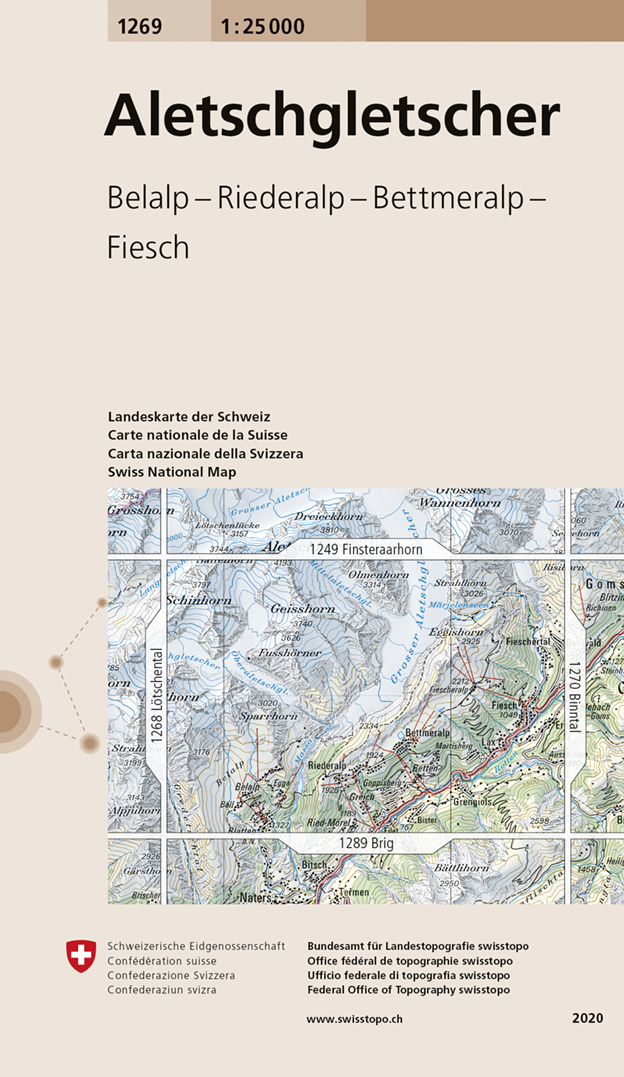
- Wandelkaart - Topografische kaart 1269 Aletschgletscher | Swisstopo
- Map No. 1269, Aletschgletscher, in the topographic survey of Switzerland at 1:25,000 from Swisstopo, covering the southern part of the Aletsch Glacier, with Geisshorn and the glaciers to the west of its peak, Fiesch, Lax and, on the southern edge, Blatten and M Read more
- Also available from:
- Stanfords, United Kingdom

Stanfords
United Kingdom
United Kingdom
- Aletschgletscher Swisstopo 1269
- Map No. 1269, Aletschgletscher, in the topographic survey of Switzerland at 1:25,000 from Swisstopo, covering the southern part of the Aletsch Glacier, with Geisshorn and the glaciers to the west of its peak, Fiesch, Lax and, on the southern edge, Blatten and Mörel.Swiss topographic survey at 1:25,000 covers the whole country on 247 small... Read more
De Zwerver
Netherlands
Netherlands
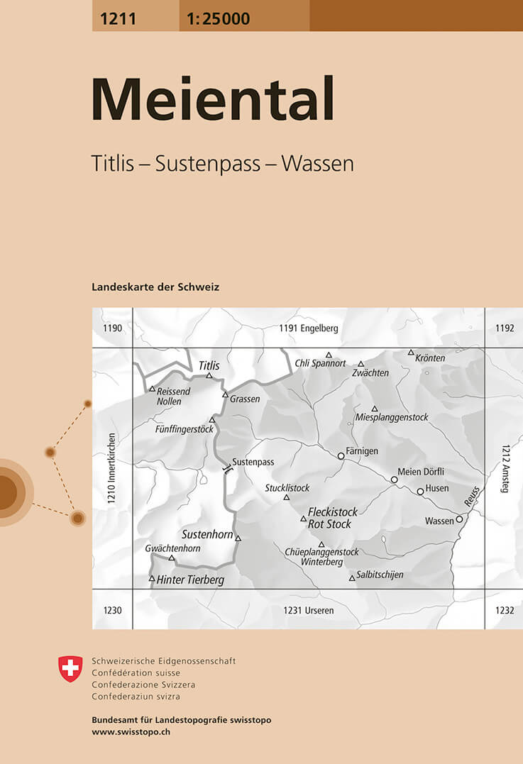
- Wandelkaart - Topografische kaart 1211 Meiental | Swisstopo
- Map No. 1211, Meiental, in the topographic survey of Switzerland at 1:25,000 from Bundesamt f Read more
- Also available from:
- Stanfords, United Kingdom

Stanfords
United Kingdom
United Kingdom
- Meiental Swisstopo 1211
- Map No. 1211, Meiental, in the topographic survey of Switzerland at 1:25,000 from Bundesamt für Landestopographie (swisstopo), covering the whole country on 247 small format sheets, with special larger maps published for popular regions including some titles now available in hiking versions.Highly regarded for their superb use of graphic relief... Read more