
Berkshire Downs
Beschrijving
Chalk downlands in the south of England. Comparable, but not as well known as the North Downs and South Downs. Some long distance trails cross these hills, and you may find several hiking guides.
Paden in deze regio
Links
Feiten
Verslagen
Gidsen en kaarten
Overnachting
Organisaties
Reisorganisaties
GPS
Anders
Boeken
De Zwerver
Netherlands
2021
Netherlands
2021
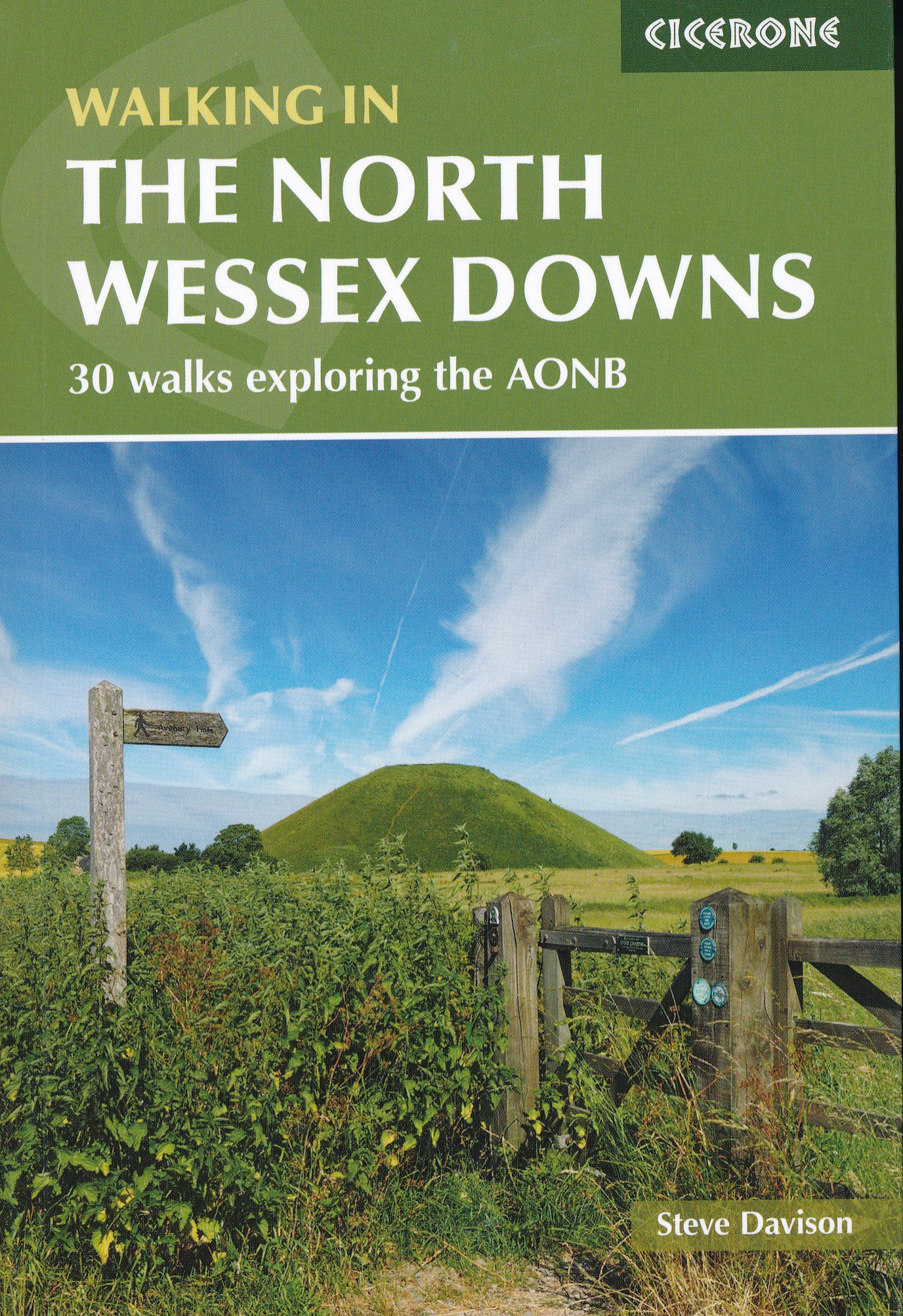
- Wandelgids Walking on the North Wessex Downs | Cicerone
- Guidebook to 30 circular walks in the North Wessex Downs Area of Outstanding Natural Beauty (AONB). The routes, which range from 7 to 21km (4 to 13 miles), take in parts of four counties - Berkshire, Hampshire, Wiltshire and Oxfordshire.The North Wessex Downs are accessible hills rising above the towns and rural plains of southern England and... Read more
- Also available from:
- Stanfords, United Kingdom

Stanfords
United Kingdom
2021
United Kingdom
2021
- Walking in the North Wessex Downs: 30 walks exploring the AONB
- Guidebook to 30 circular walks in the North Wessex Downs Area of Outstanding Natural Beauty (AONB). The routes, which range from 7 to 21km (4 to 13 miles), take in parts of four counties - Berkshire, Hampshire, Wiltshire and Oxfordshire.The North Wessex Downs are accessible hills rising above the towns and rural plains of southern England and... Read more
De Zwerver
Netherlands
2008
Netherlands
2008
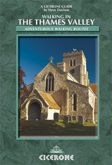
- Wandelgids Walking in the Thames Valley | Cicerone
- Walking in the Thames Valley describes 25 adventurous day walks in the area covering the North Hampshire Downs, Berkshire and the Southern Chilterns with easy access to London and Reading. The circular walks vary from 10 to 18 miles, including one two-day walk, as well as shorter route options for those who want a less strenuous day out. Read more
De Zwerver
Netherlands
2019
Netherlands
2019
De Zwerver
Netherlands
2023
Netherlands
2023

De Zwerver
Netherlands
Netherlands
- Also available from:
- Stanfords, United Kingdom

Stanfords
United Kingdom
United Kingdom
- Birmingham, Wolverhampton & The Black Country OS Landranger Map 139 (paper)
- Birmingham with the surrounding area including the Black Country, Wolverhampton, Walsall, Solihull, Stourbridge, Bromsgrove and a section of the E2 European Long-distance Path on a paper version of map No. 139 from the Ordnance Survey’s Landranger series at 1:50,000, with contoured and GPS compatible topographic mapping plus tourist... Read more

De Zwerver
Netherlands
Netherlands
- Also available from:
- Stanfords, United Kingdom

Stanfords
United Kingdom
United Kingdom
- Kettering, Corby, Market Harborough & Stamford OS Landranger Map 141 (paper)
- The area around Kettering, Corby, Market Harborough and Stamford, including Rockingham Forest and part of the E2 European Long-distance Path, on a paper version of map No. 141 from the Ordnance Survey’s Landranger series at 1:50,000, with contoured and GPS compatible topographic mapping plus tourist information.MOBILE DOWNLOADS: As well as the... Read more
De Zwerver
Netherlands
Netherlands
- Also available from:
- Stanfords, United Kingdom

Stanfords
United Kingdom
United Kingdom
- Aylesbury, Leighton Buzzard, Thame & Berkhamsted OS Landranger Map 165 (paper)
- Aylesbury, Leighton Buzzard and Thame area, including Chiltern Hills with part of the Ridgeway, on a paper version of map No. 165 from the Ordnance Survey’s Landranger series at 1:50,000, with contoured and GPS compatible topographic mapping plus tourist information.MOBILE DOWNLOADS: As well as the physical edition of the map, each Landranger... Read more

De Zwerver
Netherlands
Netherlands
- Also available from:
- Stanfords, United Kingdom

Stanfords
United Kingdom
United Kingdom
- Reading & Windsor - Henley-on-Thames & Bracknell OS Landranger Map 175 (paper)
- Reading – Windsor area, including a section of the Thames Path / E2 European Long-distance Path, on a paper version of map No. 175 from the Ordnance Survey’s Landranger series at 1:50,000, with contoured and GPS compatible topographic mapping plus tourist information.MOBILE DOWNLOADS: As well as the physical edition of the map, each Landranger... Read more

Bol.com
Netherlands
Netherlands
- Half an Hour a Day Across Massachusetts
- In 2009, Massachusetts naturalist and historian John J. Galluzzo set out to take a half an hour walk every single day in a different place, no matter what the weather was like, no matter what state his health was in. In 2011, he took things 351 steps further.Staring down classic New England snowstorms he set out in January on a new project,... Read more
- Also available from:
- Bol.com, Belgium
Bol.com
Belgium
Belgium
- Half an Hour a Day Across Massachusetts
- In 2009, Massachusetts naturalist and historian John J. Galluzzo set out to take a half an hour walk every single day in a different place, no matter what the weather was like, no matter what state his health was in. In 2011, he took things 351 steps further.Staring down classic New England snowstorms he set out in January on a new project,... Read more
Bol.com
Netherlands
Netherlands
- Roman Way
- The Roman Way is a 174-mile walk, on the theme of Roman roads, using public rights of way. It follows a triangle formed by three Roman roads from Chesterton, near Bicester in Oxfordshire, to Cirencester in Gloucestershire, and on to the Roman walled town of Silchester in Hampshire, returning to the Roman military fort at Alchester near the... Read more
- Also available from:
- Bol.com, Belgium
Bol.com
Belgium
Belgium
- Roman Way
- The Roman Way is a 174-mile walk, on the theme of Roman roads, using public rights of way. It follows a triangle formed by three Roman roads from Chesterton, near Bicester in Oxfordshire, to Cirencester in Gloucestershire, and on to the Roman walled town of Silchester in Hampshire, returning to the Roman military fort at Alchester near the... Read more

Bol.com
Netherlands
Netherlands
- UNEXPECTED
- From the peak of a mountain or the barrel of a wave, Patagonia has collected some of the most spectacular sports imagery in history. Relive the achievements captured in Patagonia's history, as well as the joie de vivre fostered by nurturing a relationship with the great outdoors. Unique for a business enterprise, Patagonia's catalog devotes... Read more
- Also available from:
- Bol.com, Belgium
Bol.com
Belgium
Belgium
- UNEXPECTED
- From the peak of a mountain or the barrel of a wave, Patagonia has collected some of the most spectacular sports imagery in history. Relive the achievements captured in Patagonia's history, as well as the joie de vivre fostered by nurturing a relationship with the great outdoors. Unique for a business enterprise, Patagonia's catalog devotes... Read more
Bol.com
Netherlands
Netherlands
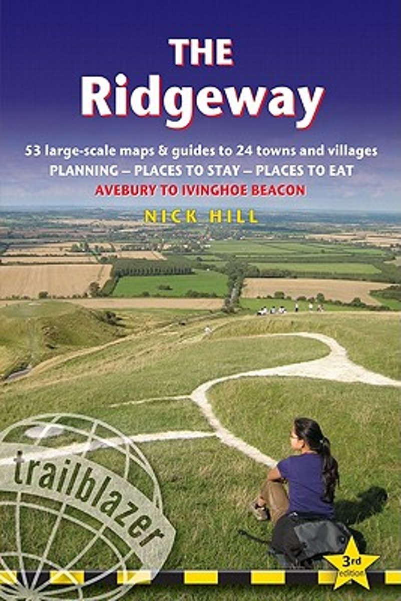
- Trailblazer The Ridgeway
- Practical guide to walking the whole of the Ridgeway National Trail. The Ridgeway path begins near Avebury and runs 87 miles across the high chalk downs of Wiltshire, into the Thames Valley and on to the Chiltern Hills of Buckinghamshire, finishing at Ivinghoe Beacon near Aylesbury. Includes: Ridgeway map, 53 large-scale maps (1:20,000), guides... Read more
- Also available from:
- Bol.com, Belgium
Bol.com
Belgium
Belgium
- Trailblazer The Ridgeway
- Practical guide to walking the whole of the Ridgeway National Trail. The Ridgeway path begins near Avebury and runs 87 miles across the high chalk downs of Wiltshire, into the Thames Valley and on to the Chiltern Hills of Buckinghamshire, finishing at Ivinghoe Beacon near Aylesbury. Includes: Ridgeway map, 53 large-scale maps (1:20,000), guides... Read more
De Zwerver
Netherlands
2016
Netherlands
2016
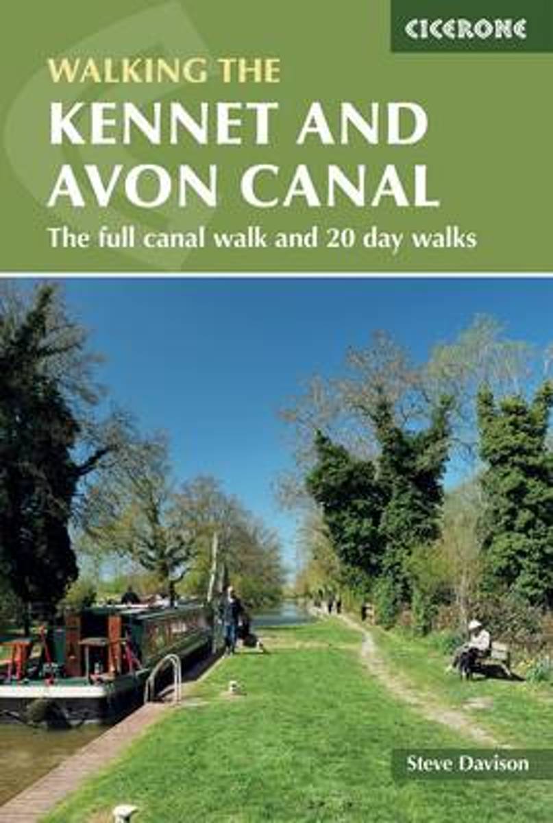
- Wandelgids The Kennet and Avon Canal | Cicerone
- Guidebook to walking along the Kennet & Avon Canal. The 94 mile route from Reading to Bristol is split into 7 stages of fairly easy walking and includes the UNESCO World Heritage Site of Bath and Bristol's Floating Harbour. 20 circular walks are also included, ranging from 4¼ to 9 miles, taking in the best sections of the canal. Read more
- Also available from:
- Bol.com, Netherlands
- Bol.com, Belgium
- Stanfords, United Kingdom
- The Book Depository, United Kingdom
Bol.com
Netherlands
2016
Netherlands
2016
- The Kennet and Avon Canal
- This guidebook to walking along the Kennet & Avon Canal covers the 94 mile (152km) route from Reading to Bristol. The canal walk is split into 7 stages of fairly easy, level walking, of between 9¾ and 18½ miles, with advice on splitting on shortening the stages if needed. The book also includes 20 easy circular walks, ranging from 4¼ to 9... Read more
Bol.com
Belgium
2016
Belgium
2016
- The Kennet and Avon Canal
- This guidebook to walking along the Kennet & Avon Canal covers the 94 mile (152km) route from Reading to Bristol. The canal walk is split into 7 stages of fairly easy, level walking, of between 9¾ and 18½ miles, with advice on splitting on shortening the stages if needed. The book also includes 20 easy circular walks, ranging from 4¼ to 9... Read more

Stanfords
United Kingdom
2016
United Kingdom
2016
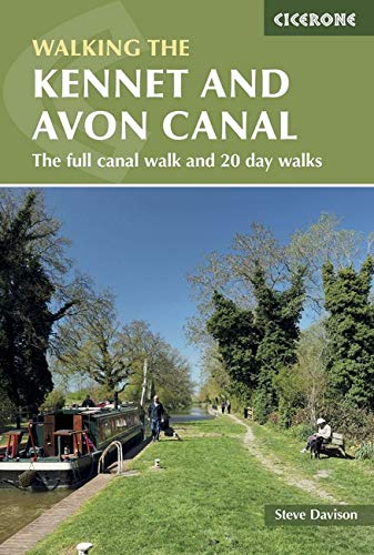
- The Kennet and Avon Canal: The Full Canal Walk and 20 Day Walks
- This guidebook to walking along the Kennet & Avon Canal covers the 94 mile (152km) route from Reading to Bristol. The canal walk is split into 7 stages of fairly easy, level walking, of between 93/4 and 181/2 miles, with advice on splitting on shortening the stages if needed. The book also includes 20 easy circular walks, ranging from 4 to 9... Read more

The Book Depository
United Kingdom
2016
United Kingdom
2016
- The Kennet and Avon Canal
- The full canal walk and 20 day walks Read more
Kaarten
Bol.com
Netherlands
2017
Netherlands
2017
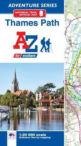
- Thames Path Adventure Atlas
- The A-Z Adventure series features the accuracy and quality of Ordnance Survey`s Explorer mapping in a convenient book, therefore eliminating the need to fold and re-fold a large sheet map to the desired area. OS Explorer is Ordnance Survey`s most detailed mapping at a scale of 1:25 000 showing public rights of way, open access land, national... Read more
- Also available from:
- Bol.com, Belgium
- Stanfords, United Kingdom
Bol.com
Belgium
2017
Belgium
2017
- Thames Path Adventure Atlas
- The A-Z Adventure series features the accuracy and quality of Ordnance Survey`s Explorer mapping in a convenient book, therefore eliminating the need to fold and re-fold a large sheet map to the desired area. OS Explorer is Ordnance Survey`s most detailed mapping at a scale of 1:25 000 showing public rights of way, open access land, national... Read more
Stanfords
United Kingdom
2017
United Kingdom
2017
- Thames Path A-Z Adventure Atlas
- The A-Z Adventure series features the accuracy and quality of Ordnance Survey`s Explorer mapping in a convenient book, therefore eliminating the need to fold and re-fold a large sheet map to the desired area. OS Explorer is Ordnance Survey`s most detailed mapping at a scale of 1:25 000 showing public rights of way, open access land, national... Read more
De Zwerver
Netherlands
Netherlands
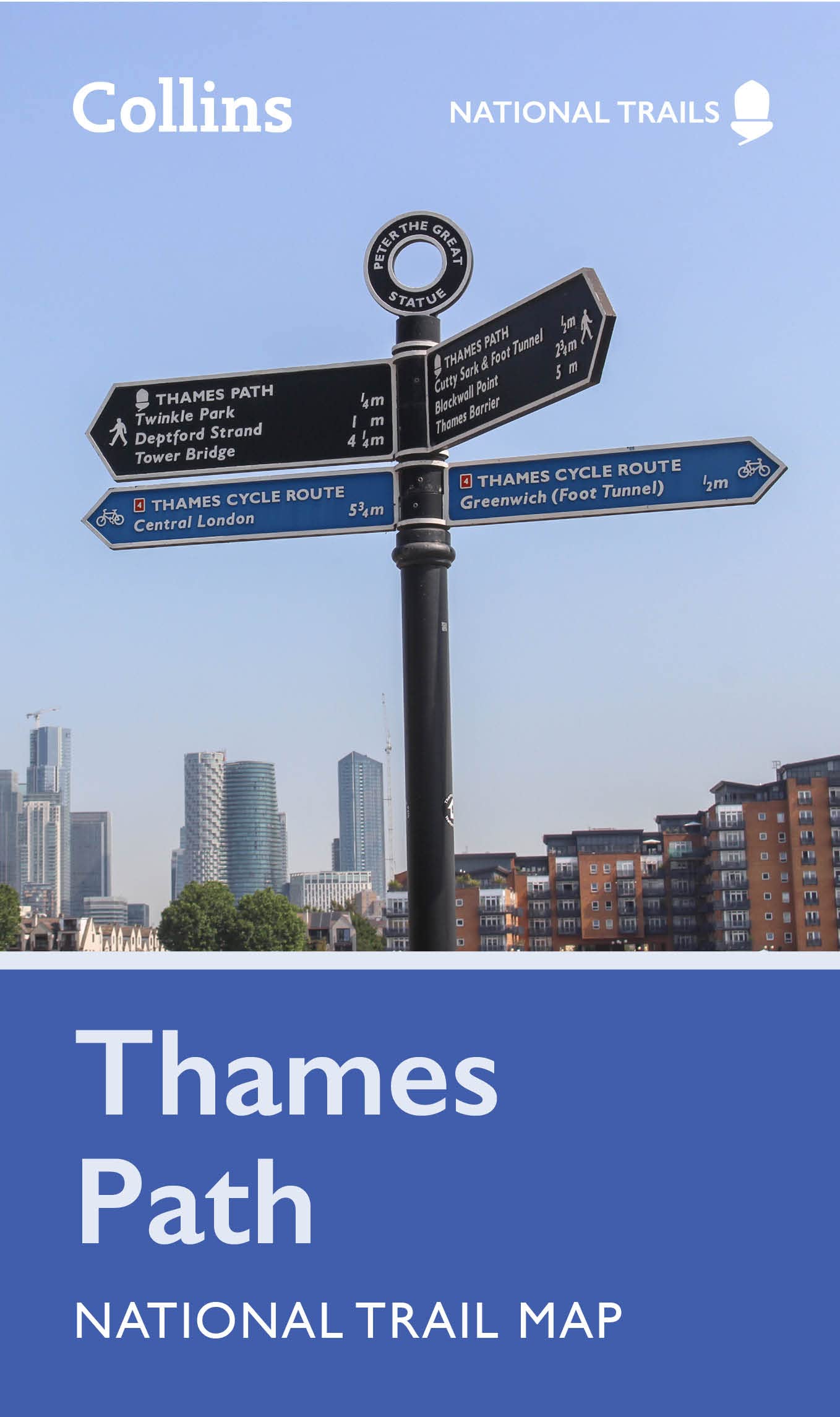
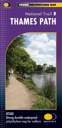
- Wandelkaart Thames Path | Harvey Maps
- Mooie, duidelijke kaart van het Thames Path in Engeland. Geplastificeerd met veel extra informatie en uitsnedes van de route. Thames Path National Trail The Thames Path follows the banks of the river for 184 miles (294KM) from the flood barrier at Woolwich in South East London to Kemble Gloucestershire. It is a long distance walking route, most... Read more
- Also available from:
- Bol.com, Netherlands
- Bol.com, Belgium
- The Book Depository, United Kingdom

Bol.com
Netherlands
Netherlands
- Thames Path
- Mooie, duidelijke kaart van het Thames Path in Engeland. Geplastificeerd met veel extra informatie en uitsnedes van de route. Thames Path National Trail The Thames Path follows the banks of the river for 184 miles (294KM) from the flood barrier at Woolwich in South East London to Kemble Gloucestershire. It is a long distance walking route, most... Read more
Bol.com
Belgium
Belgium
- Thames Path
- Mooie, duidelijke kaart van het Thames Path in Engeland. Geplastificeerd met veel extra informatie en uitsnedes van de route. Thames Path National Trail The Thames Path follows the banks of the river for 184 miles (294KM) from the flood barrier at Woolwich in South East London to Kemble Gloucestershire. It is a long distance walking route, most... Read more

The Book Depository
United Kingdom
United Kingdom
- Thames Path
- Mooie, duidelijke kaart van het Thames Path in Engeland. Geplastificeerd met veel extra informatie en uitsnedes van de route. Thames Path National Trail The Thames Path follows the banks of the river for 184 miles (294KM) from the flood barrier at Woolwich in South East London to Kemble Gloucestershire. It is a long distance walking route, most... Read more

Bol.com
Netherlands
Netherlands
- England Coast Path Camber to Folkestone Adventure Map
- The A-Z Adventure Series of maps combines the best of OS and A-Z, creating the perfect companion for walkers, off-road cyclists, horse riders and anyone wishing to explore the great outdoors.This official Camber to Folkestone Adventure Map section of the England Coast Path, a new National Trail around England`s coast. More than just a path, it... Read more
- Also available from:
- Bol.com, Belgium
- Stanfords, United Kingdom
Bol.com
Belgium
Belgium
- England Coast Path Camber to Folkestone Adventure Map
- The A-Z Adventure Series of maps combines the best of OS and A-Z, creating the perfect companion for walkers, off-road cyclists, horse riders and anyone wishing to explore the great outdoors.This official Camber to Folkestone Adventure Map section of the England Coast Path, a new National Trail around England`s coast. More than just a path, it... Read more

Stanfords
United Kingdom
United Kingdom
- England Coast Path - Camber to Folkestone Adventure Map
- The A-Z Adventure Series of maps combines the best of OS and A-Z, creating the perfect companion for walkers, off-road cyclists, horse riders and anyone wishing to explore the great outdoors.This official Camber to Folkestone Adventure Map section of the England Coast Path, a new National Trail around England`s coast. More than just a path, it... Read more

Bol.com
Netherlands
Netherlands
- England Coast Path Folkestone to Ramsgate Adventure Map
- The A-Z Adventure Series of maps combines the best of OS and A-Z, creating the perfect companion for walkers, off-road cyclists, horse riders and anyone wishing to explore the great outdoors.This official Folkestone to Ramsgate Adventure Map section of the England Coast Path, a new National Trail around England`s coast. More than just a path,... Read more
- Also available from:
- Bol.com, Belgium
Bol.com
Belgium
Belgium
- England Coast Path Folkestone to Ramsgate Adventure Map
- The A-Z Adventure Series of maps combines the best of OS and A-Z, creating the perfect companion for walkers, off-road cyclists, horse riders and anyone wishing to explore the great outdoors.This official Folkestone to Ramsgate Adventure Map section of the England Coast Path, a new National Trail around England`s coast. More than just a path,... Read more

De Zwerver
Netherlands
Netherlands
- Wandelkaart WKE2 La Palma | Freytag & Berndt
- Uitstekende wandelkaart van La Palma, tweezijdig, met ingetekende routes, hoogtelijnen en andere belangrijke informatie. Ook met fietsroutes, bovendien GPS geschikt! Read more
- Also available from:
- Bol.com, Netherlands
- Bol.com, Belgium
- The Book Depository, United Kingdom

Bol.com
Netherlands
Netherlands
- FB WKE2 La Palma
- Dubbelzijdige wandel- en vrijetijdskaart • toeristische tips • stadsplattegronden • fietspaden en mountainbikeroutes • GPS-punten • ski- en langlaufroutes Read more
Bol.com
Belgium
Belgium
- FB WKE2 La Palma
- Dubbelzijdige wandel- en vrijetijdskaart • toeristische tips • stadsplattegronden • fietspaden en mountainbikeroutes • GPS-punten • ski- en langlaufroutes Read more

The Book Depository
United Kingdom
United Kingdom
- La Palma Hiking + Leisure Map 1:30 000
- Uitstekende wandelkaart van La Palma, tweezijdig, met ingetekende routes, hoogtelijnen en andere belangrijke informatie. Ook met fietsroutes, bovendien GPS geschikt! Read more

Stanfords
United Kingdom
United Kingdom
- England Coast Path Adventure Map - Minehead to Brean Down
- The A-Z Adventure Series of maps combines the best of OS and A-Z, creating the perfect companion for walkers, off-road cyclists, horse riders and anyone wishing to explore the great outdoors.This official Minehead to Brean Down Adventure Map covers a 58 mile (93km) section of the England Coast Path, a new National Trail around England`s coast.... Read more

Stanfords
United Kingdom
United Kingdom
- Niagara Falls - Fort Erie - Niagara-on-the-Lake - Grand Island
- Double-sided, indexed street plan at 1:28,000 of Niagara Falls area on both sides of the Niagara River, in Canada and USA. Coverage extends north from Niagara Falls to Lake Ontario to include Niagara-on-the-Lake on the Canadian side plus Youngstown, Porter and Lewiston in USA. On the reverse coverage continues southwards to Lake Eire to cover... Read more

Stanfords
United Kingdom
United Kingdom
- Cycle Tours Around Oxford
- Oxford has long enjoyed a reputation as one of the most cycle-friendly cities in the country. This spiral-bound guide describes 20 wonderful bike rides in the countryside in a 30-mile radius around the city, exploring the delights of the Cotswolds, the Lambourn Downs and the Chilterns. The book contains 15 rides on networks of quiet lanes... Read more

Stanfords
United Kingdom
United Kingdom
- Luxembourg North
- One of two topographic survey maps of Luxembourg at 1:50,000, with contours at 10-metres intervals and additional relief shading. An overprint highlights long-distance footpaths, including the GR5 (E-2), cycle routes, and various places of interest, including campsites. The map covers an area of approximately 53 x 43 km / 33 x 27 miles. Map... Read more

Stanfords
United Kingdom
United Kingdom
- Luxembourg South
- One of two topographic survey maps of Luxembourg at 1:50,000, with contours at 10-metres intervals and additional relief shading. An overprint highlights long-distance footpaths, including the GR5 (E-2), cycle routes, and various places of interest, including campsites. The map covers an area of approximately 53 x 43 km / 33 x 27 miles. Map... Read more

De Zwerver
Netherlands
Netherlands
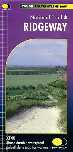
- Wandelkaart - Fietskaart Ridgeway | Harvey Maps
- The Ridgway, a 139km / 87 mile national trail from Overton Hill in Wiltshire to Ivinghoe Beacon in Buckinghamshire, presented at 1:40,000 on a light, waterproof and tear-resistant map from Harvey Map Services. The route is shown on six overlapping panels.Maps in the Harvey Read more
- Also available from:
- Stanfords, United Kingdom
- The Book Depository, United Kingdom
Stanfords
United Kingdom
United Kingdom
- Ridgeway Harvey National Trail XT40
- The Ridgway, a 139km / 87 mile national trail from Overton Hill in Wiltshire to Ivinghoe Beacon in Buckinghamshire, presented at 1:40,000 on a light, waterproof and tear-resistant map from Harvey Map Services. The route is shown on six overlapping panels.Maps in the Harvey’s series covering Great Britain’s national trails and other... Read more

The Book Depository
United Kingdom
United Kingdom