
Cumbria
Beschrijving
County in northwestern England. The Lake District lies in Cumbria, as well as English highest mountain, Scafell (978 m). Cumbria is great for walking.
Paden in deze regio
Links
Feiten
Verslagen
Gidsen en kaarten
Overnachting
Organisaties
Reisorganisaties
GPS
Anders
Boeken
De Zwerver
Netherlands
2018
Netherlands
2018
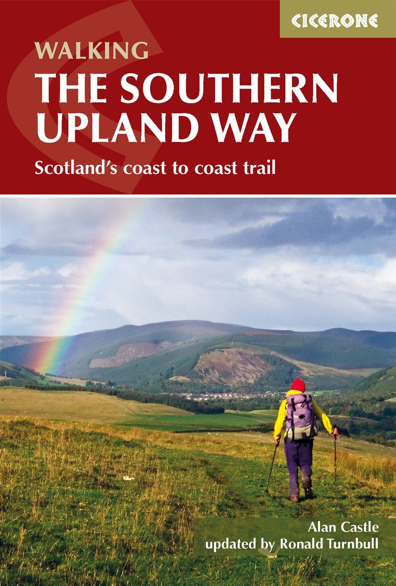
- Wandelgids The Southern Upland Way | Cicerone
- Guidebook to the Southern Upland Way, a coast to coast walk through Galloway and the Scottish Borders. One of Scotland's Great Trails, the 347km (215 mile) route links Portpatrick on the west coast to Cockburnspath on the east, through diverse landscapes and rich natural and historical interest. It can be completed in around a fortnight. Read more
- Also available from:
- Stanfords, United Kingdom

Stanfords
United Kingdom
2018
United Kingdom
2018
- Southern Upland Way
- The Southern Upland Way is Scotland`s coast-to-coast walk and the longest of the nation`s Great Trails. 215 miles long, it links the pretty harbour village of Portpatrick on the west coast with Cockburnspath, a little south of Dunbar, in the east. The walk is at times a strenuous one, crossing the remote high moorland of the Galloway Hills,... Read more
De Zwerver
Netherlands
2007
Netherlands
2007
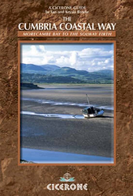
- Wandelgids The Cumbria Coastal Way | Cicerone
- This guidebook follows the continuous 298km (182 mile) walking route from Silverdale, on Morecambe Bay, towards Gretna on the Scottish border. The route links a number of gems of landscape, wildlife, archaeology and history along this often little-known coastline. A walk of 10-14 days suitable for all levels of ability. Read more
De Zwerver
Netherlands
2015
Netherlands
2015
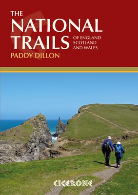
- Wandelgids the National Trails - Great British Walks - Engeland, Wales en Schotland | Cicerone
- This inspirational guidebook looks at each of the UK's 19 National Trails, with information that allows ease of comparison and contrast, inspiring you to find out more and to take up a long-distance challenge. Some Trails are short and easy, others much longer, many have strong themes - they may follow a coastline, or traverse ranges of hills. Read more
De Zwerver
Netherlands
2016
Netherlands
2016
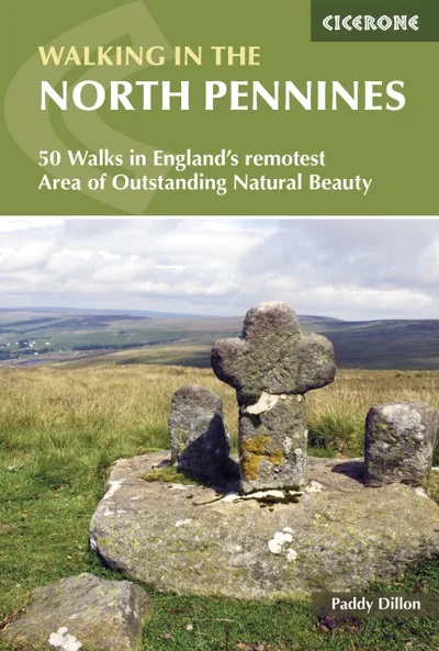
- Wandelgids Walking in the North Pennines | Cicerone
- 50 Walks in England's Remotest Area of Outstanding Natural Beauty Read more
- Also available from:
- Stanfords, United Kingdom

Stanfords
United Kingdom
2016
United Kingdom
2016
- Walking in the North Pennines: 50 Walks in England`s Remotest Area of Outstanding Natural Beauty
- A guidebook to day walks in the North Pennines Area of Outstanding Natural Beauty (AONB), across Cumbria, County Durham and Northumberland. The book includes 50 walks exploring England`s `last wilderness`, ranging from 5 miles (8km) to 14 miles (23km). Most are circular, though there are some linear routes, and there is something to suit all... Read more
De Zwerver
Netherlands
2023
Netherlands
2023
De Zwerver
Netherlands
2011
Netherlands
2011
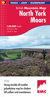
- Wandelkaart North York Moors | Harvey Maps
- North Yorkshire Moors National Park at 1:40,000 on a GPS compatible, contoured map from Harvey Map Services printed on light, waterproof and tear-resistant synthetic paper, with a geological map of the region on the reverse, advice on safety and first aid, etc.The map covers most of the area on one side, but with the northernmost and... Read more
- Also available from:
- Stanfords, United Kingdom

Stanfords
United Kingdom
2011
United Kingdom
2011
- North York Moors Harvey British Mountain Map XT40
- North Yorkshire Moors National Park at 1:40,000 on a GPS compatible, contoured map from Harvey Map Services printed on light, waterproof and tear-resistant synthetic paper, with a geological map of the region on the reverse, advice on safety and first aid, etc.The map covers most of the area on one side, but with the northernmost and... Read more
De Zwerver
Netherlands
2020
Netherlands
2020
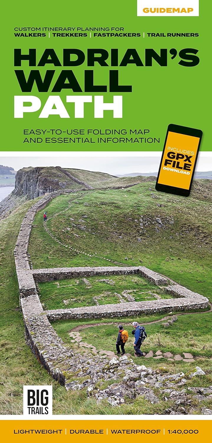
- Wandelkaart Hadrian's Wall Path | Vertebrate Publishing
- Easy-to-use folding map and essential information, with custom itinerary planning for walkers, trekkers, fastpackers and trail runners Read more
- Also available from:
- Stanfords, United Kingdom

Stanfords
United Kingdom
2020
United Kingdom
2020
- Hadrian`s Wall Path - Easy-to-use Folding Map and Essential Information
- The 138-kilometre Hadrian`s Wall Path traces a grey line along Great Whin Sill, the dolerite ridge chosen by the Romans for their historic wall. The route, one of Britain`s most popular National Trails, is dotted with milecastles and forts, and attracts trail runners and walkers all year round due to its sweeping views. Beginning in Newcastle,... Read more
Bol.com
Netherlands
2012
Netherlands
2012
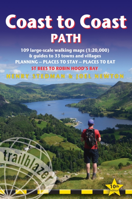
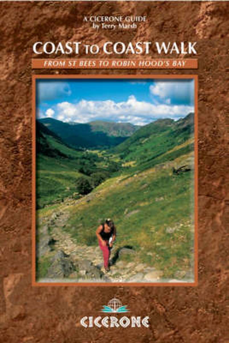
- A Northern Coast To Coast Walk
- A guidebook to the famous Coast to Coast walk first popularised by Alfred Wainwright. The walk from St Bees Head in Cumbria to Robin Hood's Bay on Yorkshire's east coast is now one of the most popular long-distance walks in Britain. At 178 miles (300km) long, the trail can be easily walked within a two-week holiday period. The route is based on... Read more
- Also available from:
- Bol.com, Belgium
Bol.com
Belgium
2012
Belgium
2012
- A Northern Coast To Coast Walk
- A guidebook to the famous Coast to Coast walk first popularised by Alfred Wainwright. The walk from St Bees Head in Cumbria to Robin Hood's Bay on Yorkshire's east coast is now one of the most popular long-distance walks in Britain. At 178 miles (300km) long, the trail can be easily walked within a two-week holiday period. The route is based on... Read more
Bol.com
Netherlands
Netherlands
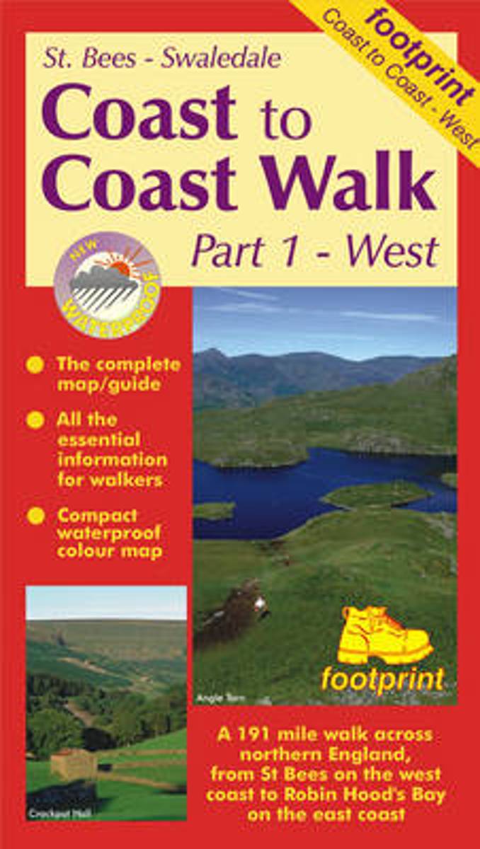
- Coast to Coast Walk
- The western part of the Coast to Coast Walk between St. Bees and Reeth in Swaledale presented in eight stages at 1:50,000 on a light, waterproof and tear-resistant map from Footprint Walks in their series covering long-distance hiking routes. Contours are at 100 feet intervals, with spot heights also shown in feet. Highlighting indicates the... Read more
- Also available from:
- Bol.com, Belgium
- Stanfords, United Kingdom
- The Book Depository, United Kingdom
Bol.com
Belgium
Belgium
- Coast to Coast Walk
- The western part of the Coast to Coast Walk between St. Bees and Reeth in Swaledale presented in eight stages at 1:50,000 on a light, waterproof and tear-resistant map from Footprint Walks in their series covering long-distance hiking routes. Contours are at 100 feet intervals, with spot heights also shown in feet. Highlighting indicates the... Read more

Stanfords
United Kingdom
United Kingdom
- Coast to Coast Walk Part 1 - St. Bees to Swaledale
- The western part of the Coast to Coast Walk between St. Bees and Reeth in Swaledale presented in eight stages at 1:50,000 on a light, waterproof and tear-resistant map from Footprint Walks in their series covering long-distance hiking routes. Contours are at 100 feet intervals, with spot heights also shown in feet. Highlighting indicates the... Read more

The Book Depository
United Kingdom
United Kingdom
- Coast to Coast Walk: St.Bees to Swaledale Pt. 1
- The western part of the Coast to Coast Walk between St. Bees and Reeth in Swaledale presented in eight stages at 1:50,000 on a light, waterproof and tear-resistant map from Footprint Walks in their series covering long-distance hiking routes. Contours are at 100 feet intervals, with spot heights also shown in feet. Highlighting indicates the... Read more
Bol.com
Netherlands
2016
Netherlands
2016
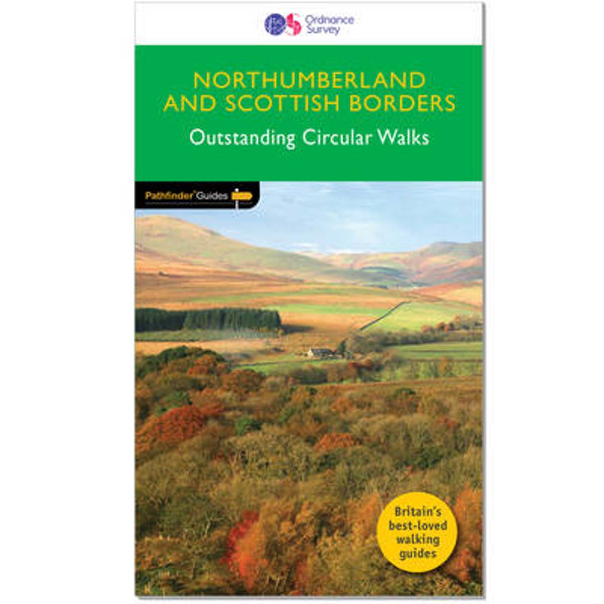
- Northumberland & the Scottish Borders
- Pathfinder(R) Northumberland and the Scottish Borders covering Blanchland, Melrose and Hartside. This selection offers interest, regional variety and balance of routes in Northumberland the the Scottish Borders providing the best walks in the area. From an easy stroll through Doddington Moor to the much more challenging walks in Windy Gyle this... Read more
- Also available from:
- Bol.com, Belgium
- Stanfords, United Kingdom
- The Book Depository, United Kingdom
Bol.com
Belgium
2016
Belgium
2016
- Northumberland & the Scottish Borders
- Pathfinder(R) Northumberland and the Scottish Borders covering Blanchland, Melrose and Hartside. This selection offers interest, regional variety and balance of routes in Northumberland the the Scottish Borders providing the best walks in the area. From an easy stroll through Doddington Moor to the much more challenging walks in Windy Gyle this... Read more

Stanfords
United Kingdom
2016
United Kingdom
2016
- Northumberland & the Scottish Borders
- Pathfinder(R) Northumberland and the Scottish Borders covering Blanchland, Melrose and Hartside. This selection offers interest, regional variety and balance of routes in Northumberland the the Scottish Borders providing the best walks in the area. From an easy stroll through Doddington Moor to the much more challenging walks in Windy Gyle this... Read more

Bol.com
Netherlands
Netherlands
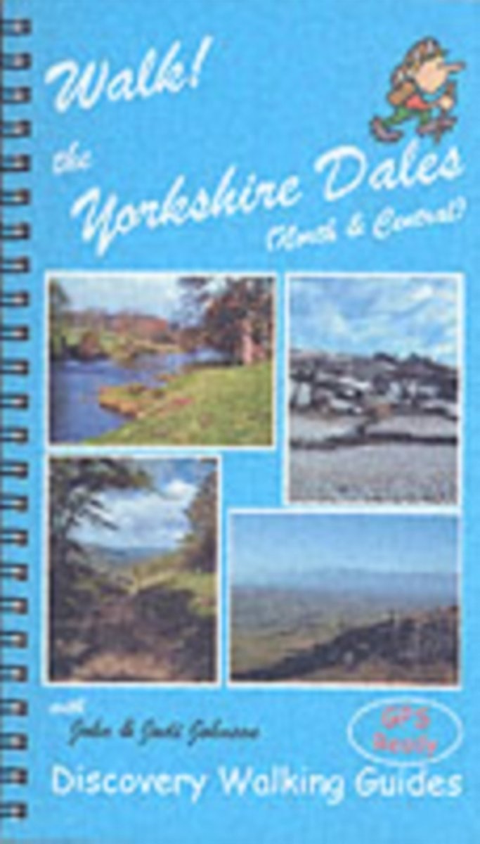
- Walk! the Yorkshire Dales (North and Central)
- Many of Yorkshire's half a million acres are over 600 metres, peaking at more than 700 metres above sea level. These are wild, bleak and barren places, commanding heights of peat moor and limestone crag, windswept, inspiring and dramatic. But for all these glorious uplands it's the dales - the valleys - which truly catch the imagination. As... Read more
- Also available from:
- Bol.com, Belgium
- Stanfords, United Kingdom
Bol.com
Belgium
Belgium
- Walk! the Yorkshire Dales (North and Central)
- Many of Yorkshire's half a million acres are over 600 metres, peaking at more than 700 metres above sea level. These are wild, bleak and barren places, commanding heights of peat moor and limestone crag, windswept, inspiring and dramatic. But for all these glorious uplands it's the dales - the valleys - which truly catch the imagination. As... Read more

Stanfords
United Kingdom
United Kingdom
- Walk! The Yorkshire Dales
- Walk the Yorkshire Dales is John and Judi Johnson’s Discovery Walking Guide exploring some of the best walks in one of England’s most popular walking destinations. The guide covers a range of walks including routes in and around Dale Head, Great Whernside, Penyghent, Buckden Pike and Redmire Force. Many of the routes also have short walk and... Read more
Bol.com
Netherlands
2010
Netherlands
2010
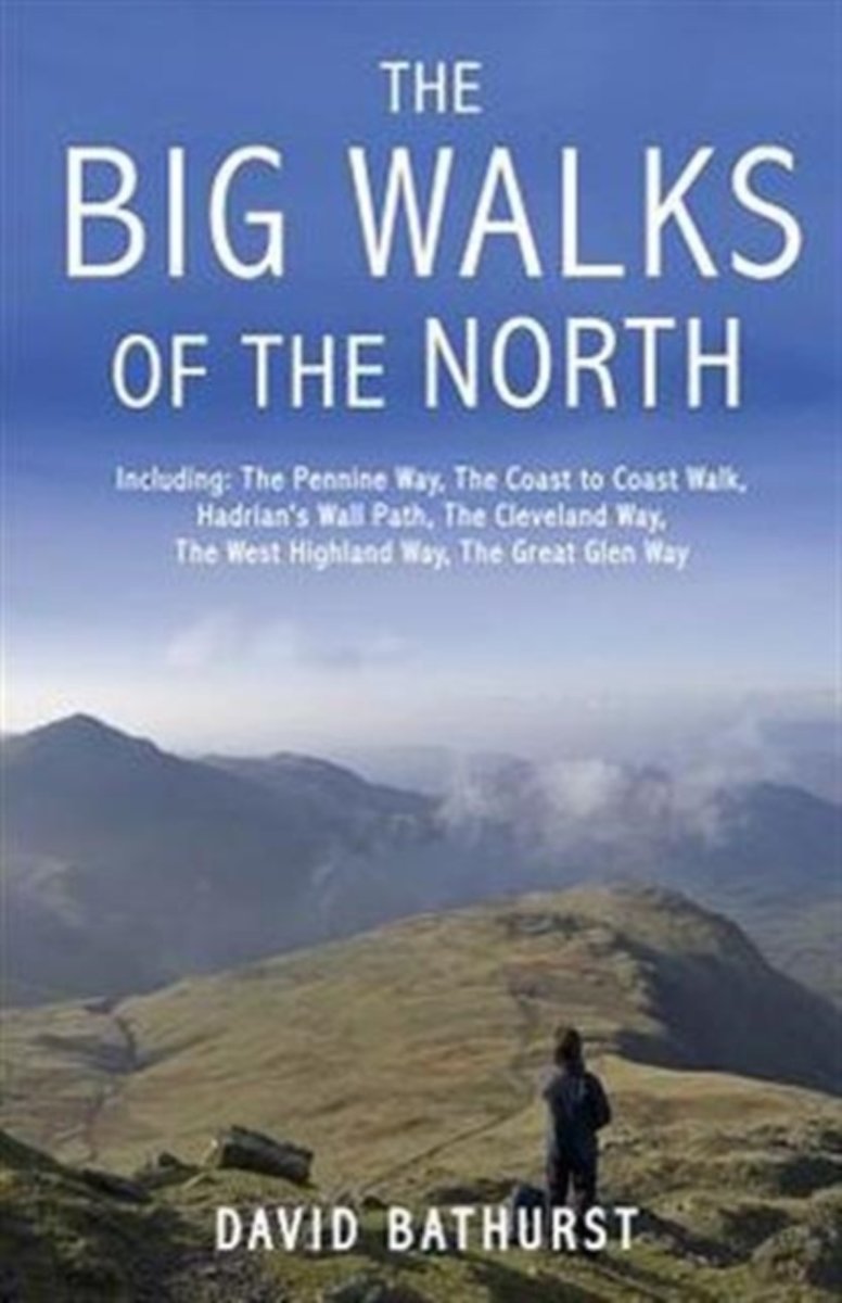
- The Big Walks of the North
- From the Great Glen Way to the Coast to Coast Path, there is no better way to discover the spectacular diversity of northern Britain's landscape than on foot. Whether you enjoy exploring green and gently rolling dales or tackling rugged mountain paths, there are walks here to keep you rambling all year round.An indefatigable walker, David... Read more
- Also available from:
- Bol.com, Belgium
Bol.com
Belgium
2010
Belgium
2010
- The Big Walks of the North
- From the Great Glen Way to the Coast to Coast Path, there is no better way to discover the spectacular diversity of northern Britain's landscape than on foot. Whether you enjoy exploring green and gently rolling dales or tackling rugged mountain paths, there are walks here to keep you rambling all year round.An indefatigable walker, David... Read more
De Zwerver
Netherlands
2016
Netherlands
2016
- Wandelgids Coast to Coast Walk - van Ierse Zee tot Noordzee | Aurum Press
- Recreational Path Guide Read more
- Also available from:
- Bol.com, Netherlands
- Bol.com, Belgium
- Stanfords, United Kingdom
Bol.com
Netherlands
2016
Netherlands
2016
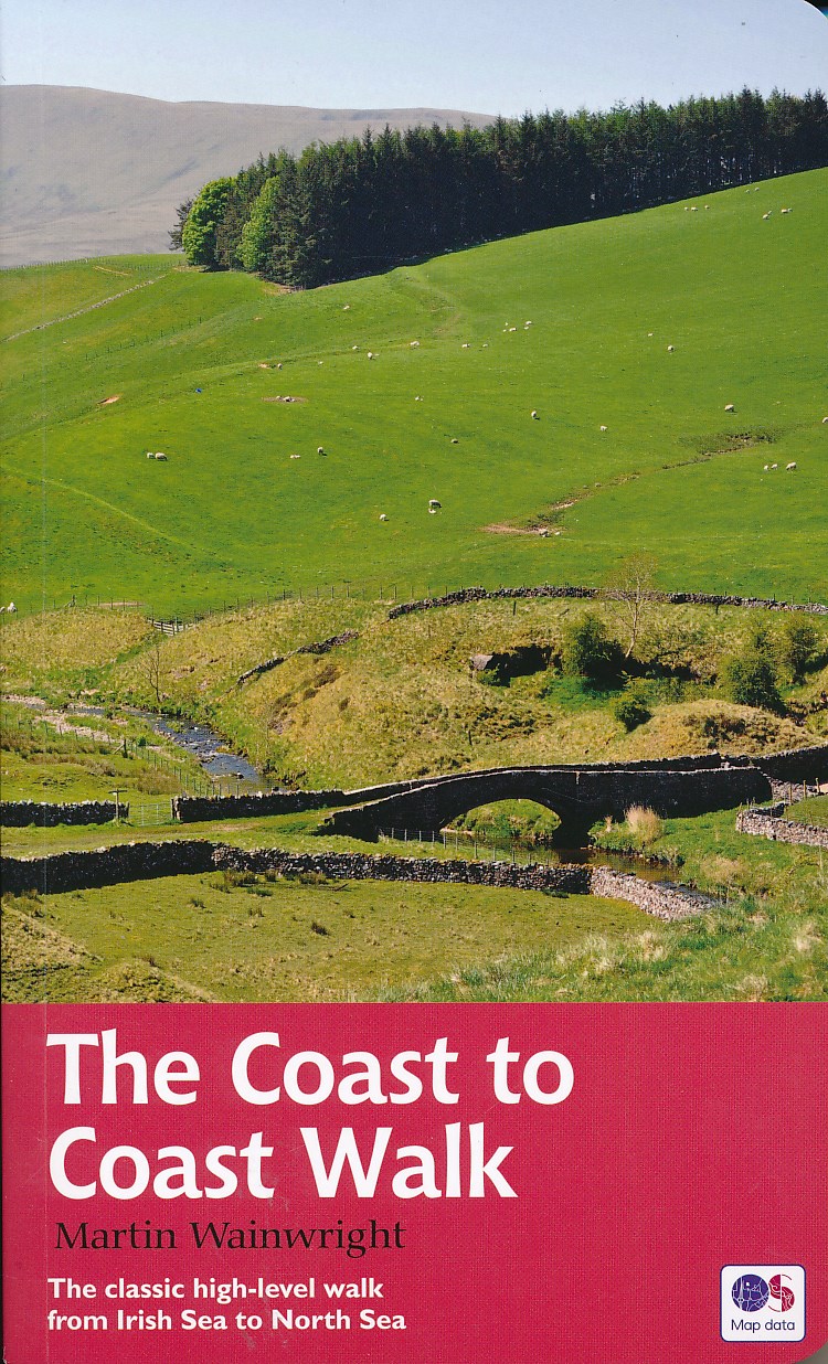
- Coast to Coast Walk
- The classic high-level walk from Irish Sea to North Sea Originally devised by the legendary Alfred Wainwright, the Coast-to-Coast Walk has steadily become one of Britain's most popular long-distance walks, and it is not hard to see why. Planned to seek out the most spectacular high ground across the country, it takes you from the sea in the... Read more
Bol.com
Belgium
2016
Belgium
2016
- Coast to Coast Walk
- The classic high-level walk from Irish Sea to North Sea Originally devised by the legendary Alfred Wainwright, the Coast-to-Coast Walk has steadily become one of Britain's most popular long-distance walks, and it is not hard to see why. Planned to seek out the most spectacular high ground across the country, it takes you from the sea in the... Read more

Stanfords
United Kingdom
2016
United Kingdom
2016
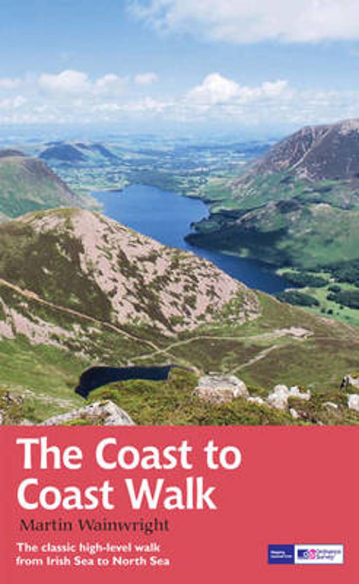
- Coast to Coast Walk
- The classic high-level walk from Irish Sea to North Sea. Originally devised by the legendary Alfred Wainwright, the Coast-to-Coast Walk has steadily become one of Britain`s most popular long-distance walks, and it is not hard to see why. Planned to seek out the most spectacular high ground across the country, it takes you from the sea in the... Read more
Kaarten


De Zwerver
Netherlands
2021
Netherlands
2021

De Zwerver
Netherlands
2021
Netherlands
2021

De Zwerver
Netherlands
2020
Netherlands
2020
- Fietskaart Yorkshire Dales Touring / Nidderdale Area of NB | Harvey Maps
- Yorkshire Dales on a road map at 1:100,000 from Harvey Map Services with several enlargements showing main roads across local towns, plus descriptions of interesting locations, advice on public transport, etc. The map shows the Dales region with altitude colouring to indicate the region Read more
- Also available from:
- Stanfords, United Kingdom

Stanfords
United Kingdom
2020
United Kingdom
2020
- Yorkshire Dales Harvey Touring & Planning Map
- Yorkshire Dales on a road map at 1:100,000 from Harvey Map Services with several enlargements showing main roads across local towns, plus descriptions of interesting locations, advice on public transport, etc. The map shows the Dales region with altitude colouring to indicate the region’s topography. Long-distance trails such as the Dales Way,... Read more
Bol.com
Netherlands
Netherlands
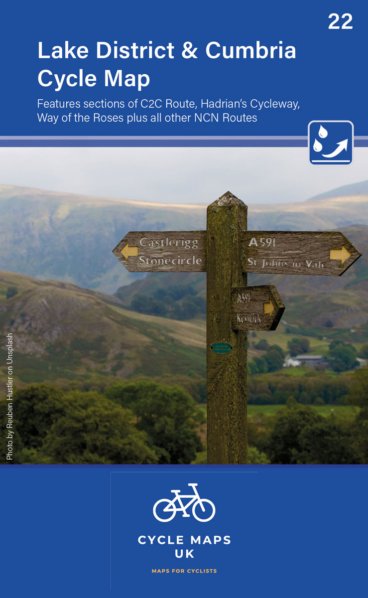
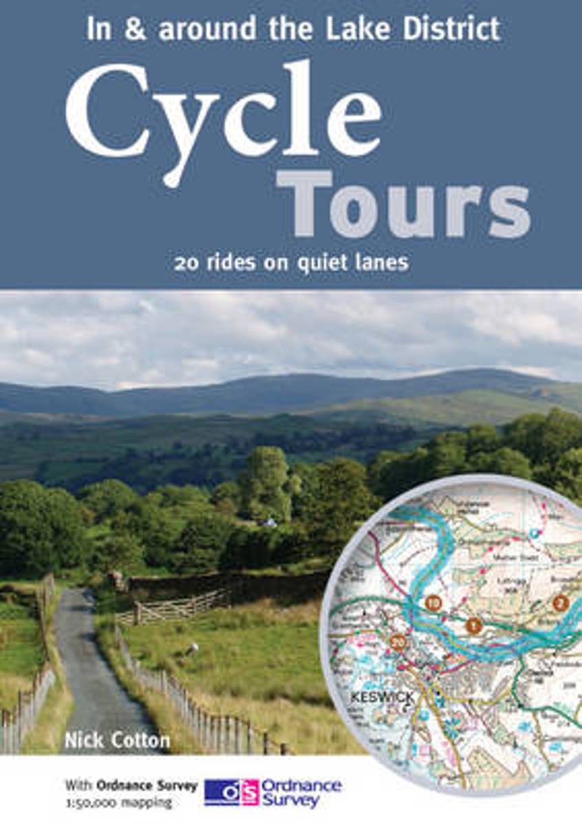
- Cycle Tours in & Around the Lake District
- The Lake District boasts some of the most stunning mountain scenery in the country, providing a dramatic backdrop to many of the rides featured in this book. The practical spiral-bound guide describes 20 wonderful lane rides of 24-35 miles in South Lakeland and the Eden Valley. All of the rides are highlighted on Ordnance Survey Landranger... Read more
- Also available from:
- Bol.com, Belgium
- Stanfords, United Kingdom
Bol.com
Belgium
Belgium
- Cycle Tours in & Around the Lake District
- The Lake District boasts some of the most stunning mountain scenery in the country, providing a dramatic backdrop to many of the rides featured in this book. The practical spiral-bound guide describes 20 wonderful lane rides of 24-35 miles in South Lakeland and the Eden Valley. All of the rides are highlighted on Ordnance Survey Landranger... Read more

Stanfords
United Kingdom
United Kingdom
- Cycle Tours in & Around the Lake District
- The Lake District boasts some of the most stunning mountain scenery in the country, providing a dramatic backdrop to many of the rides featured in this book. The practical spiral-bound guide describes 20 wonderful lane rides of 24-35 miles in South Lakeland and the Eden Valley. All of the rides are highlighted on Ordnance Survey Landranger... Read more
Bol.com
Netherlands
2015
Netherlands
2015
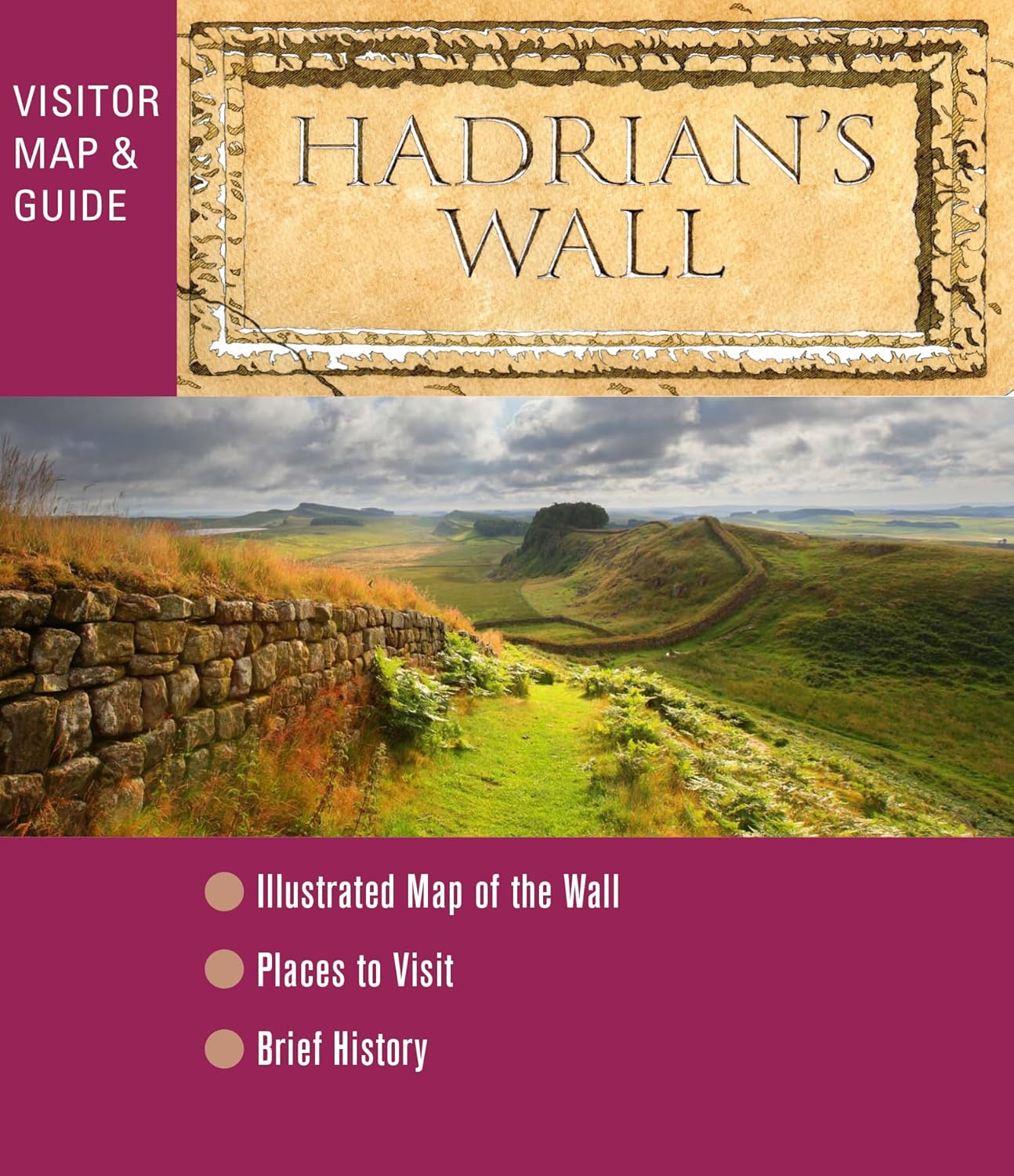
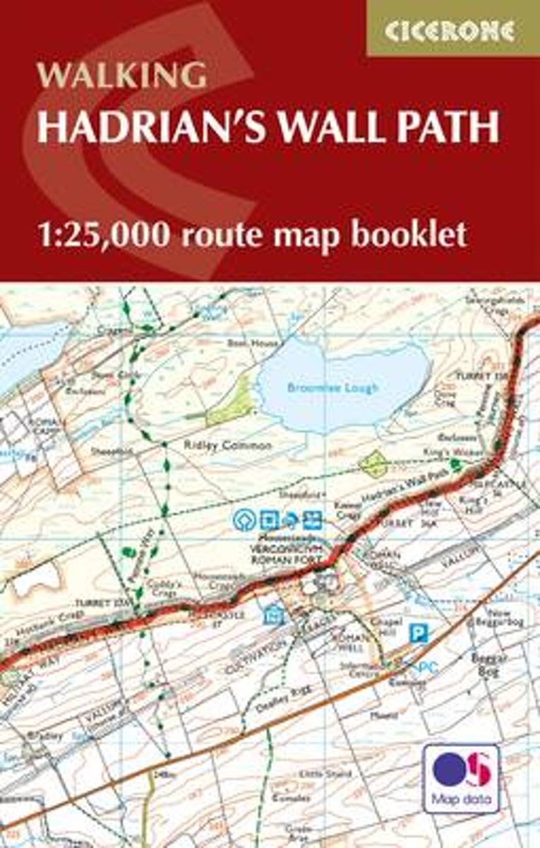
- Hadrian's Wall Path Map Booklet
- All the mapping you need to complete the 84 mile (135km) Hadrian's Wall Path from Bowness-on-Solway in Cumbria to Wallsend, Newcastle. One of the UK's most visited national trails, it typically takes a week to walk, and is suitable for walkers and trekkers at all levels of experience. This booklet of Ordnance Survey 1:25,000 Explorer maps has... Read more
- Also available from:
- Bol.com, Belgium
- Stanfords, United Kingdom
Bol.com
Belgium
2015
Belgium
2015
- Hadrian's Wall Path Map Booklet
- All the mapping you need to complete the 84 mile (135km) Hadrian's Wall Path from Bowness-on-Solway in Cumbria to Wallsend, Newcastle. One of the UK's most visited national trails, it typically takes a week to walk, and is suitable for walkers and trekkers at all levels of experience. This booklet of Ordnance Survey 1:25,000 Explorer maps has... Read more

Stanfords
United Kingdom
2015
United Kingdom
2015
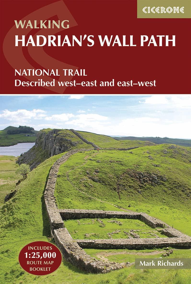
- Hadrian`s Wall Path Cicerone Map Booklet
- Hadrian’s Wall Path National Trail on mapping at 1:25,000 from the Ordnance Survey’s Explorer series in a pocket-size booklet from Cicerone Press. The 135km / 84 mile trail from Bowness-on-Solway to Wallsend, with an extension to South Shields, is presented with a route profile, plus summaries of distance and approximate walking time for each... Read more
De Zwerver
Netherlands
2019
Netherlands
2019
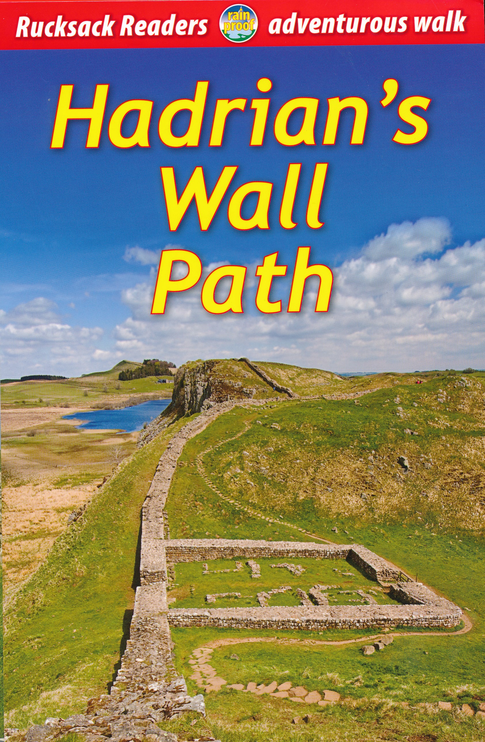
- Wandelgids Hadrian's Wall path | Rucksack Readers
- Hadrian's Wall Path, a 138km / 86 mile long trail from Bowness-on-Solway to Wallsend along the remains of the Roman walls and forts, presented by Rucksack Readers in handy A5 size, spiral-bound, waterproof guide with mapping at 1:100,000. The 64-page guide provides general advice on when to go, availability of accommodation, etc, and includes... Read more
- Also available from:
- Bol.com, Netherlands
- Bol.com, Belgium
- Stanfords, United Kingdom
- The Book Depository, United Kingdom
Bol.com
Netherlands
2019
Netherlands
2019
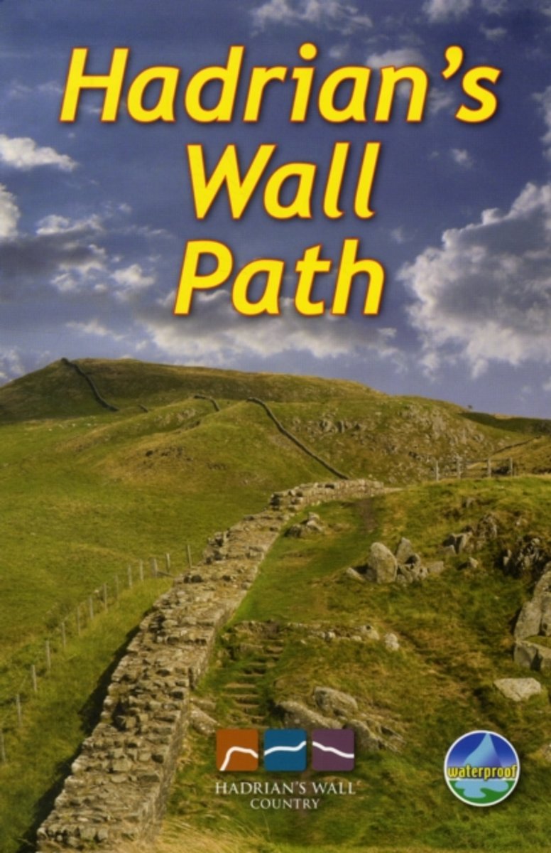
- Hadrian's Wall Path
- ?Hadrians Wall Path runs for 86 miles from Bowness-on-Solway to Wallsend along the line of the Roman Wall completed in AD122 under the Emperor Hadrian. This National Trail crosses northern England from Irish Sea to North Sea and offers many chances to look at the forts, milecastles and interpretation centers within this UNESCO World Heritage... Read more
Bol.com
Belgium
2019
Belgium
2019
- Hadrian's Wall Path
- ?Hadrians Wall Path runs for 86 miles from Bowness-on-Solway to Wallsend along the line of the Roman Wall completed in AD122 under the Emperor Hadrian. This National Trail crosses northern England from Irish Sea to North Sea and offers many chances to look at the forts, milecastles and interpretation centers within this UNESCO World Heritage... Read more

Stanfords
United Kingdom
2019
United Kingdom
2019
- Hadrian`s Wall Path
- Hadrian`s Wall Path, a 138km / 86 mile long trail from Bowness-on-Solway to Wallsend along the remains of the Roman walls and forts, presented by Rucksack Readers in handy A5 size, spiral-bound, waterproof guide with mapping at 1:100,000. The 64-page guide provides general advice on when to go, availability of accommodation, etc, and includes... Read more

The Book Depository
United Kingdom
2019
United Kingdom
2019
- Hadrian's Wall Path
- Hadrian's Wall Path, a 138km / 86 mile long trail from Bowness-on-Solway to Wallsend along the remains of the Roman walls and forts, presented by Rucksack Readers in handy A5 size, spiral-bound, waterproof guide with mapping at 1:100,000. The 64-page guide provides general advice on when to go, availability of accommodation, etc, and includes... Read more
Bol.com
Netherlands
Netherlands
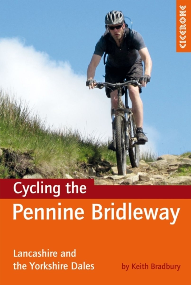
- Cycling the Pennine Bridleway
- This guidebook covers the northern stages of the Pennine Bridleway, through Lancashire, Yorkshire and Cumbria, a dedicated and waymarked mountain biking and horse-riding trail that opened in 2011. Using part of the Mary Towneley Loop, the route is described for mountain bikers from Summit, just outside Rochdale all the way to Ravenstonedale in... Read more
- Also available from:
- Bol.com, Belgium
- Stanfords, United Kingdom
Bol.com
Belgium
Belgium
- Cycling the Pennine Bridleway
- This guidebook covers the northern stages of the Pennine Bridleway, through Lancashire, Yorkshire and Cumbria, a dedicated and waymarked mountain biking and horse-riding trail that opened in 2011. Using part of the Mary Towneley Loop, the route is described for mountain bikers from Summit, just outside Rochdale all the way to Ravenstonedale in... Read more

Stanfords
United Kingdom
United Kingdom
- Pennine Bridleway Cycling: Lancashire and the Yorkshire Dales
- Cycling the Pennine Bridleway guide from Cicerone Press covering the 145-km / 90 mile route through Lancashire and the Yorkshire Dales, with stage-by-stage descriptions, OS Landranger map extracts, route profiles, information about local facilities and services, etc.The guide covers the current northern section of the Pennine Bridleway route,... Read more

Stanfords
United Kingdom
United Kingdom
- West Cumbria 1864-1869
- Map No. 89, West Cumbria 1864-1869, in the Cassini Historical Series of old Ordnance Survey mapping of England and Wales at 1:50,000 in a format designed to offer a convenient comparison with the present day coverage from the OS, and most locations in three different editions. Old historical maps have been combined so that the sheet lines... Read more
Stanfords
United Kingdom
United Kingdom
- West Cumbria 1925
- Map No. 89, West Cumbria 1925, in the Cassini Historical Series of old Ordnance Survey mapping of England and Wales at 1:50,000 in a format designed to offer a convenient comparison with the present day coverage from the OS, and most locations in three different editions. Old historical maps have been combined so that the sheet lines correspond... Read more
Stanfords
United Kingdom
United Kingdom
- West Cumbria 1901-1904
- Map No. 89, West Cumbria 1901-1904, in the Cassini Historical Series of old Ordnance Survey mapping of England and Wales at 1:50,000 in a format designed to offer a convenient comparison with the present day coverage from the OS, and most locations in three different editions. Old historical maps have been combined so that the sheet lines... Read more