
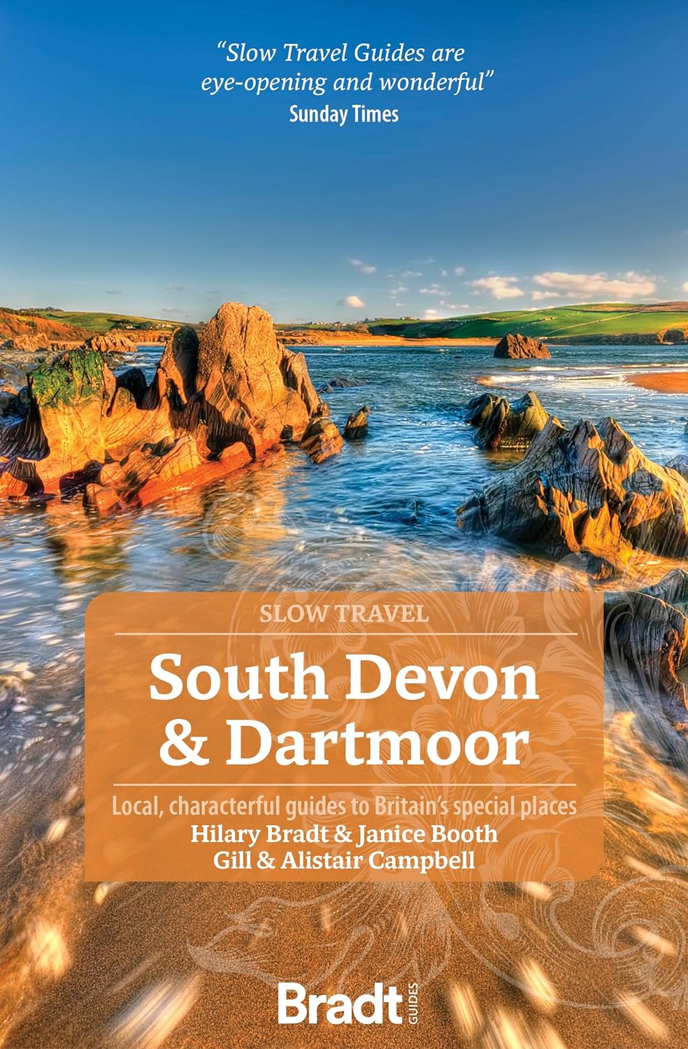
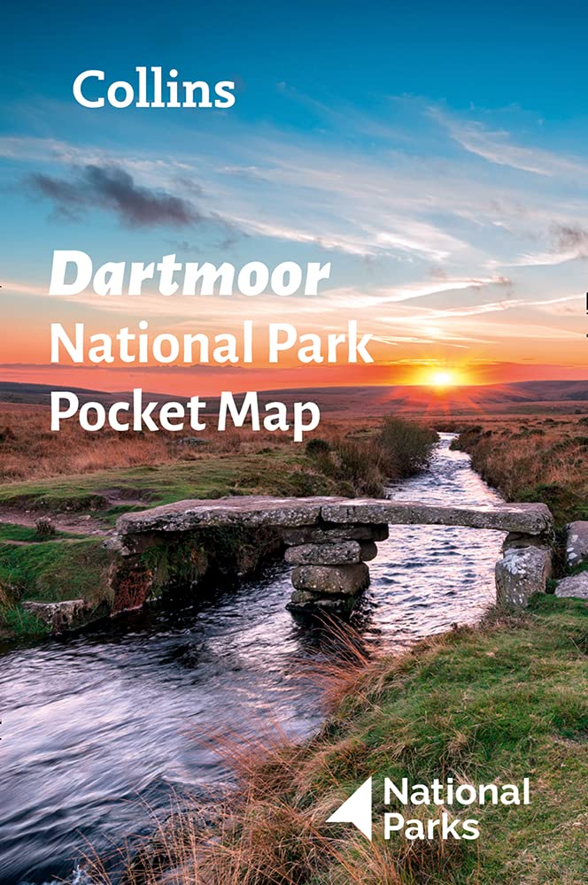
Dartmoor
Beschrijving
Dartmoor National Park, extended area of bogs, moorland and high grounds. Perfect for those who long for loneliness, getting swept away by winds, getting stuck in the permanent wet grounds.
Paden in deze regio
Links
Feiten
Verslagen
Gidsen en kaarten
Overnachting
Organisaties
Reisorganisaties
GPS
Anders
Boeken
- Also available from:
- Stanfords, United Kingdom

Stanfords
United Kingdom
2016
United Kingdom
2016
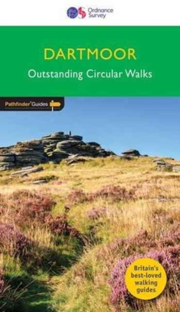
- Dartmoor Walks - Outstanding Circular Walks
- Much of central Dartmoor is an uninhabited wilderness almost free of villages, farms, trees and roads making it outstanding environmental value. From this mass rise Dartmoor`s rivers, including the Lyd, Tavy, East and West Dart, Bovey, Teign, Taw and Okement, nearly all of which flow southwards to the English Channel. The large numbers of tors... Read more

De Zwerver
Netherlands
2021
Netherlands
2021
- Reisgids Devon and Cornwall | Rough Guides
- Rough Guides Staycations Devon and CornwallMake the most of your time on Earth with the ultimate travel guides.Inspirational and informative new pocket guide, with free eBook, making the most of holidaying at home in the UK through clearly laid-out walks and tours.Explore the best of Devon and Cornwall with this unique travel guide, packed full... Read more
- Also available from:
- Stanfords, United Kingdom

Stanfords
United Kingdom
2021
United Kingdom
2021
- Pocket Rough Guide Staycations Devon & Cornwall (Travel Guide with Free eBook)
- Rough Guides Staycations Devon and CornwallMake the most of your time on Earth with the ultimate travel guides.Inspirational and informative new pocket guide, with free eBook, making the most of holidaying at home in the UK through clearly laid-out walks and tours.Explore the best of Devon and Cornwall with this unique travel guide, packed full... Read more
De Zwerver
Netherlands
2016
Netherlands
2016
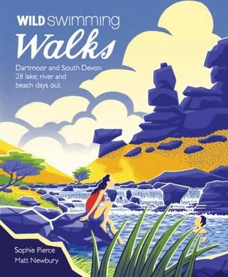
- Wandelgids Wild Swimming Walks Dartmoor and South Devon | Wild Things Publishing
- 28 Lake, River and Beach Days Out in South West England Read more
- Also available from:
- Stanfords, United Kingdom

Stanfords
United Kingdom
2016
United Kingdom
2016
- Wild Swimming Walks Dartmoor and South Devon: 28 Lake, River and Beach Days Out in South West England
- Wild swimming walks Leads you on 28 adventures into the beautiful scenery and wild swimming paradise of Dartmoor and South Devon. Discover wooded river pools and tumbling waterfalls, secret coves and amazing sea caves, safe in the company of Devon`s two most intrepid and fun-loving explorers. All the walking routes include places to swim and... Read more
De Zwerver
Netherlands
2024
Netherlands
2024

De Zwerver
Netherlands
2016
Netherlands
2016
- Wandelgids 8 Pathfinder Short Walks Dartmoor | Ordnance Survey
- Short Walks Dartmoor covering parts of Okehampton, Chagford and Lustleigh. This selection offers interest and regional variety in Dartmoor, providing the best short walks in the area. Covering walks through the whole of Dartmoor, both popular and little know scenic routes including High Willhays, Haytor Teign gorge and Castle Drogo. - See walk... Read more
- Also available from:
- Bol.com, Netherlands
- Bol.com, Belgium
- Stanfords, United Kingdom
Bol.com
Netherlands
2016
Netherlands
2016
- Dartmoor
- Short Walks Dartmoor covering parts of Okehampton, Chagford and Lustleigh. This selection offers interest and regional variety in Dartmoor, providing the best short walks in the area. Covering walks through the whole of Dartmoor, both popular and little know scenic routes including High Willhays, Haytor Teign gorge and Castle Drogo. - See walk... Read more
Bol.com
Belgium
2016
Belgium
2016
- Dartmoor
- Short Walks Dartmoor covering parts of Okehampton, Chagford and Lustleigh. This selection offers interest and regional variety in Dartmoor, providing the best short walks in the area. Covering walks through the whole of Dartmoor, both popular and little know scenic routes including High Willhays, Haytor Teign gorge and Castle Drogo. - See walk... Read more

Stanfords
United Kingdom
2016
United Kingdom
2016
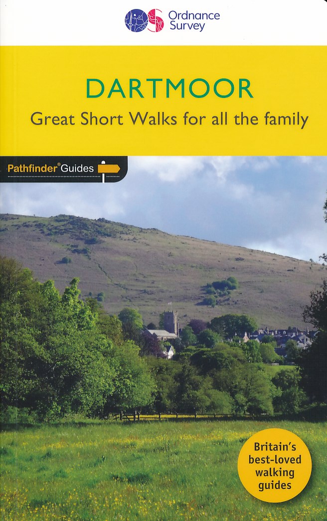
- Dartmoor - Great Short Walks for all the Family
- Short Walks Dartmoor covering parts of Okehampton, Chagford and Lustleigh. This selection offers interest and regional variety in Dartmoor, providing the best short walks in the area. Covering walks through the whole of Dartmoor, both popular and little know scenic routes including High Willhays, Haytor Teign gorge and Castle Drogo. - See walk... Read more

Bol.com
Netherlands
Netherlands
- Devon Sketchbook
- Devon is many people's idea of the ideal country place to live. But the county is far more than a country idyll set in an equitable climate. Whatever you like to do outdoors you'll find all you need in here. Some counties are pleased to boast one National Park, but Devon contains two: all of Dartmoor and a significant third of Exmoor. Unique in... Read more
- Also available from:
- Bol.com, Belgium
Bol.com
Belgium
Belgium
- Devon Sketchbook
- Devon is many people's idea of the ideal country place to live. But the county is far more than a country idyll set in an equitable climate. Whatever you like to do outdoors you'll find all you need in here. Some counties are pleased to boast one National Park, but Devon contains two: all of Dartmoor and a significant third of Exmoor. Unique in... Read more
Bol.com
Netherlands
Netherlands
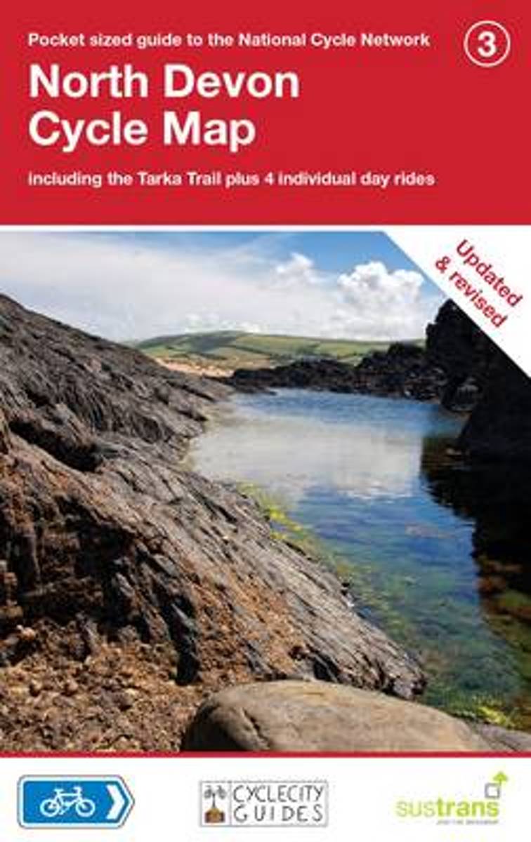
- North Devon Cycle Map
- Presented as pocket sized, folded maps to the National Cycle Network, this title includes clearly mapped on-road and traffic-free paths, easy to read contours and detailed town insets. Read more
- Also available from:
- Bol.com, Belgium
Bol.com
Belgium
Belgium
- North Devon Cycle Map
- Presented as pocket sized, folded maps to the National Cycle Network, this title includes clearly mapped on-road and traffic-free paths, easy to read contours and detailed town insets. Read more
Bol.com
Netherlands
2010
Netherlands
2010
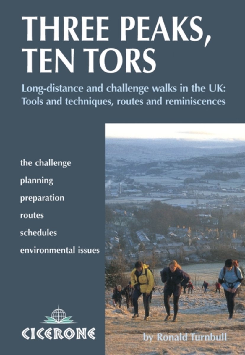
- Three Peaks, Ten Tors
- A guidebook to 15 of the best challenge walking routes in the UK - with both serious and humorous approaches, There are routes throughout the country, including the National Three Peaks Challenge, the Yorkshire and the Lancashire Three Peaks, the Dartmoor Ten Tors, the Lyke Wake Walk, the Derwent Watershed, Across Wales Walk, the Lairig Ghru,... Read more
- Also available from:
- Bol.com, Belgium
Bol.com
Belgium
2010
Belgium
2010
- Three Peaks, Ten Tors
- A guidebook to 15 of the best challenge walking routes in the UK - with both serious and humorous approaches, There are routes throughout the country, including the National Three Peaks Challenge, the Yorkshire and the Lancashire Three Peaks, the Dartmoor Ten Tors, the Lyke Wake Walk, the Derwent Watershed, Across Wales Walk, the Lairig Ghru,... Read more
Bol.com
Netherlands
2015
Netherlands
2015
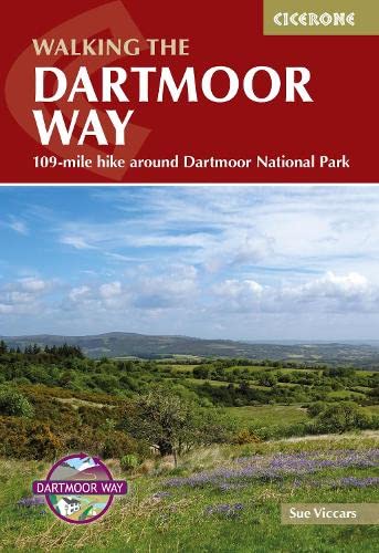
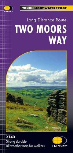
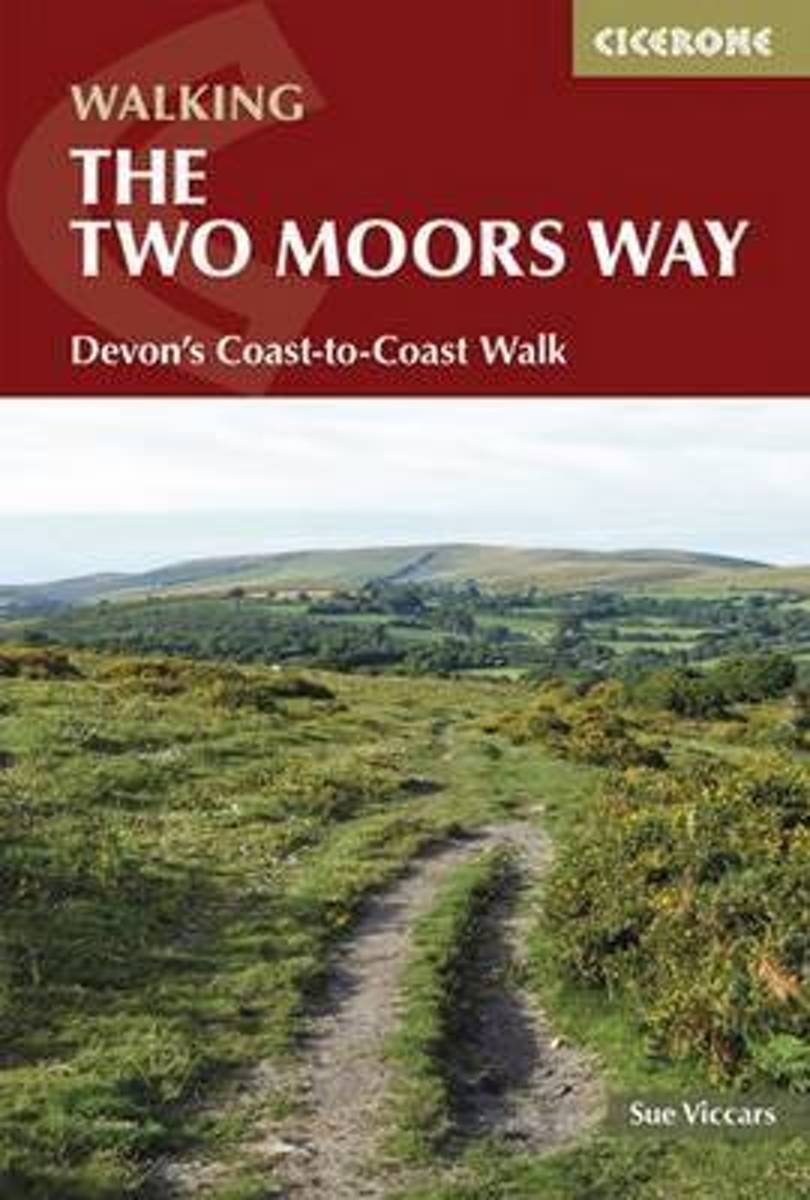
- The Two Moors Way
- This guidebook describes the 187km (116 mile) Devon Coast-to-Coast Path, or Two Moors Way. The route travels south to north, from Wembury on the south coast, up through Dartmoor and mid-Devon, through Exmoor to Lynmouth on the Bristol Channel. The walk can be adjusted to suit each walker, and can take between a week to 10 days depending on... Read more
- Also available from:
- Bol.com, Belgium
Bol.com
Belgium
2015
Belgium
2015
- The Two Moors Way
- This guidebook describes the 187km (116 mile) Devon Coast-to-Coast Path, or Two Moors Way. The route travels south to north, from Wembury on the south coast, up through Dartmoor and mid-Devon, through Exmoor to Lynmouth on the Bristol Channel. The walk can be adjusted to suit each walker, and can take between a week to 10 days depending on... Read more
Kaarten

De Zwerver
Netherlands
2012
Netherlands
2012
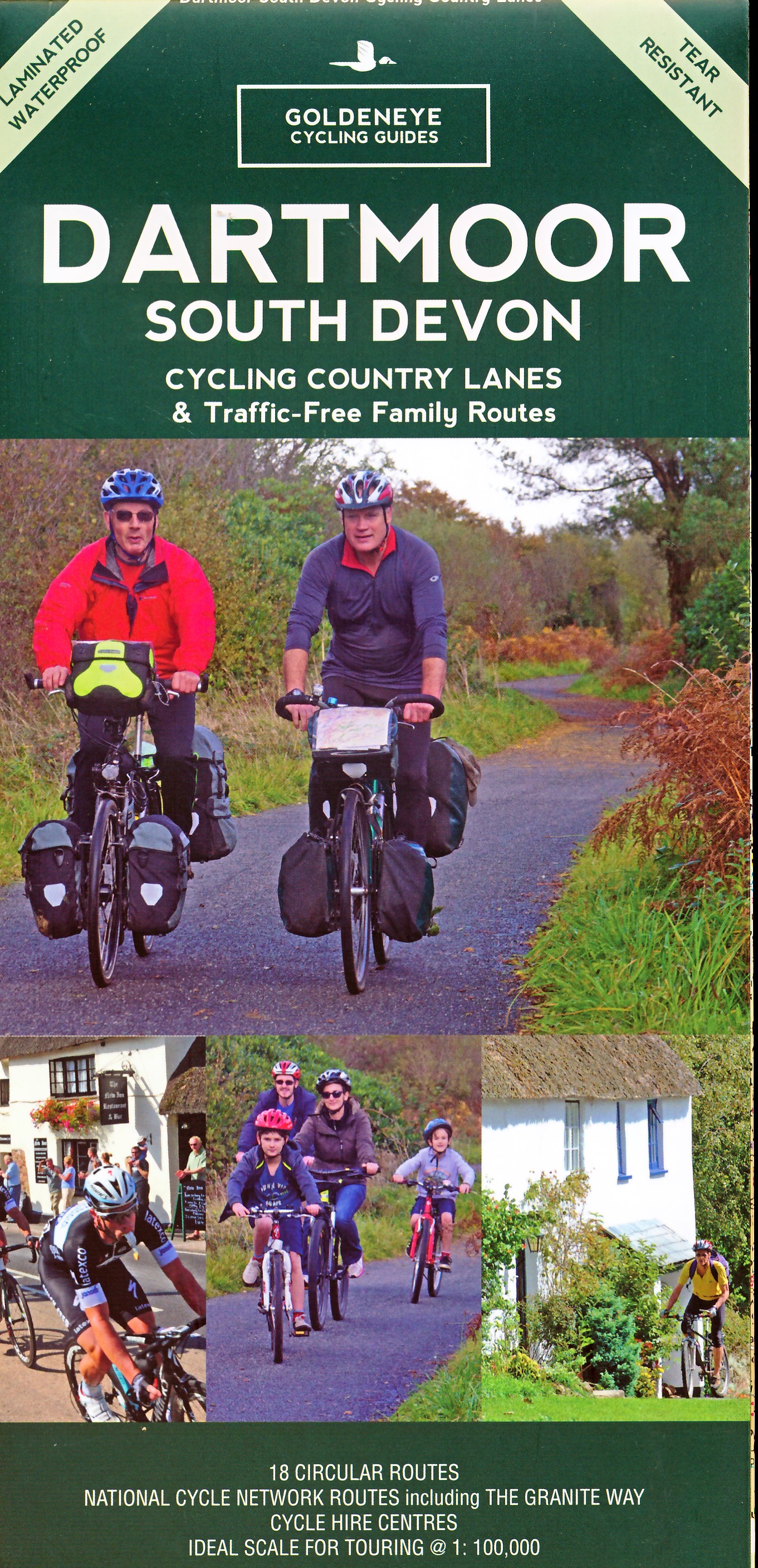
- Fietskaart Dartmoor | Harvey Maps
- Dartmoor on a double-sided, light, waterproof and tear-resistant map providing on one side a map at 1:60,000 covering a wider area between Exeter and Plymouth, with on the reverse the Dartmoor National Park at 1:40,000 with highlighting for off-road cycle trails.On one side a map at 1:60,000 covers the area between Exeter and Plymouth. The map... Read more
- Also available from:
- Stanfords, United Kingdom

Stanfords
United Kingdom
2012
United Kingdom
2012
- Dartmoor for Cyclists
- Dartmoor on a double-sided, light, waterproof and tear-resistant map providing on one side a map at 1:60,000 covering a wider area between Exeter and Plymouth, with on the reverse the Dartmoor National Park at 1:40,000 with highlighting for off-road cycle trails.On one side a map at 1:60,000 covers the area between Exeter and Plymouth. The map... Read more
De Zwerver
Netherlands
2022
Netherlands
2022

Bol.com
Netherlands
Netherlands
- South West Mountain Biking - Quantocks, Exmoor, Dartmoor
- South West Mountain Biking - Quantocks, Exmoor, Dartmoor - is the full second edition of the bestselling guide to the outstanding mountain biking in the south west of England. Featured are 26 of the best mountain bike rides in Dartmoor, Exmoor and the Quantock Hills, between 10km and 30km in length, suitable for all levels of mountain bikers.... Read more
- Also available from:
- Bol.com, Belgium
- Stanfords, United Kingdom
Bol.com
Belgium
Belgium
- South West Mountain Biking - Quantocks, Exmoor, Dartmoor
- South West Mountain Biking - Quantocks, Exmoor, Dartmoor - is the full second edition of the bestselling guide to the outstanding mountain biking in the south west of England. Featured are 26 of the best mountain bike rides in Dartmoor, Exmoor and the Quantock Hills, between 10km and 30km in length, suitable for all levels of mountain bikers.... Read more

Stanfords
United Kingdom
United Kingdom
- South West Mountain Biking - Quantocks, Exmoor, Dartmoor
- Vertebrate`s ”South West Mountain Biking – Quantocks, Exmoor, Dartmoor” is the second edition of their bestselling guide to mountain biking in the South West of England. Featured are 26 of the best mountain bike rides in Dartmoor, Exmoor and the Quantock Hills, between 10km and 30km in length, suitable for all levels of mountain bikers.Each... Read more

Stanfords
United Kingdom
United Kingdom
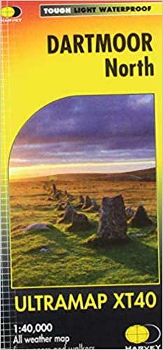
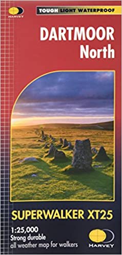
- Okehampton and North Dartmoor 1809-1919 (3-map set)
- Map No. 191, Okehampton and North Dartmoor 1809-1919 (3-map set), in the Cassini Historical Series of old Ordnance Survey mapping of England and Wales at 1:50,000 in a format designed to offer a convenient comparison with the present day coverage from the OS, and most locations in three different editions. Old historical maps have been combined... Read more
Stanfords
United Kingdom
United Kingdom
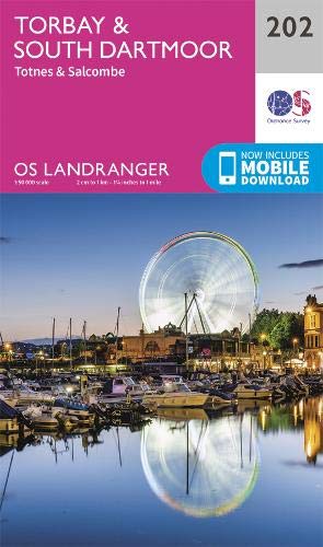
- Torbay and South Dartmoor 1809
- Map No. 202, Torbay and South Dartmoor 1809, in the Cassini Historical Series of old Ordnance Survey mapping of England and Wales at 1:50,000 in a format designed to offer a convenient comparison with the present day coverage from the OS, and most locations in three different editions. Old historical maps have been combined so that the sheet... Read more
Stanfords
United Kingdom
United Kingdom
- Okehampton and North Dartmoor 1809
- Map No. 191, Okehampton and North Dartmoor 1809, in the Cassini Historical Series of old Ordnance Survey mapping of England and Wales at 1:50,000 in a format designed to offer a convenient comparison with the present day coverage from the OS, and most locations in three different editions. Old historical maps have been combined so that the... Read more
Stanfords
United Kingdom
United Kingdom
- Plymouth and Launceston 1809-1919 (3-map set)
- Map No. 201, Plymouth and Launceston 1809-1919 (3-map set), in the Cassini Historical Series of old Ordnance Survey mapping of England and Wales at 1:50,000 in a format designed to offer a convenient comparison with the present day coverage from the OS, and most locations in three different editions. Old historical maps have been combined so... Read more

Stanfords
United Kingdom
United Kingdom
- Tour de Manche Vol. 2: Northern Brittany - Devon/Dorset - Channel Is. Cycle Route (580km)
- Tour de Manche Vol.2: de St-Malo à St-Malo cycling guide covering a 580km long-distance cross-Channel route from St-Malo along the northern coast of Brittany to Roscoff, across the Channel to Plymouth, inland around Dartmoor National Park to Exeter and westwards to Weymouth, and from there back to St-Malo via Guernsey and Jersey.Within France... Read more
Stanfords
United Kingdom
United Kingdom
- Plymouth and Launceston 1919
- Map No. 201, Plymouth and Launceston 1919, in the Cassini Historical Series of old Ordnance Survey mapping of England and Wales at 1:50,000 in a format designed to offer a convenient comparison with the present day coverage from the OS, and most locations in three different editions. Old historical maps have been combined so that the sheet... Read more
Stanfords
United Kingdom
United Kingdom
- Torbay and South Dartmoor 1809-1919 (3-map set)
- Map No. 202, Torbay and South Dartmoor 1809-1919 (3-map set), in the Cassini Historical Series of old Ordnance Survey mapping of England and Wales at 1:50,000 in a format designed to offer a convenient comparison with the present day coverage from the OS, and most locations in three different editions. Old historical maps have been combined so... Read more
Stanfords
United Kingdom
United Kingdom
- Torbay and South Dartmoor 1919
- Map No. 202, Torbay and South Dartmoor 1919, in the Cassini Historical Series of old Ordnance Survey mapping of England and Wales at 1:50,000 in a format designed to offer a convenient comparison with the present day coverage from the OS, and most locations in three different editions. Old historical maps have been combined so that the sheet... Read more
Stanfords
United Kingdom
United Kingdom
- Okehampton & North Dartmoor 1919 - 191
- Map No. 191, Okehampton and North Dartmoor 1919, in the Cassini Historical Series of old Ordnance Survey mapping of England and Wales at 1:50,000 in a format designed to offer a convenient comparison with the present day coverage from the OS, and most locations in three different editions. Old historical maps have been combined so that the... Read more
Stanfords
United Kingdom
United Kingdom
- Plymouth and Launceston 1899-1900
- Map No. 201, Plymouth and Launceston 1899-1900, in the Cassini Historical Series of old Ordnance Survey mapping of England and Wales at 1:50,000 in a format designed to offer a convenient comparison with the present day coverage from the OS, and most locations in three different editions. Old historical maps have been combined so that the sheet... Read more