
Exmoor
Beschrijving
Exmoor National Park is located in southwest England, and is divided between the counties Somerset and Devon.
Exmoor is very different from the other main park in Devon: Dartmoor. Dartmoor is empty, infertile, very wet. Exmoor National Park on the other hand has a diverse nature, including farmlands, woods, small hamlets some of the wildest coastline in England, ánd moorland.
Paden in deze regio
Links
Feiten
Verslagen
Gidsen en kaarten
Overnachting
Organisaties
Reisorganisaties
GPS
Anders
Boeken

De Zwerver
Netherlands
2021
Netherlands
2021
- Reisgids Devon and Cornwall | Rough Guides
- Rough Guides Staycations Devon and CornwallMake the most of your time on Earth with the ultimate travel guides.Inspirational and informative new pocket guide, with free eBook, making the most of holidaying at home in the UK through clearly laid-out walks and tours.Explore the best of Devon and Cornwall with this unique travel guide, packed full... Read more
- Also available from:
- Stanfords, United Kingdom

Stanfords
United Kingdom
2021
United Kingdom
2021
- Pocket Rough Guide Staycations Devon & Cornwall (Travel Guide with Free eBook)
- Rough Guides Staycations Devon and CornwallMake the most of your time on Earth with the ultimate travel guides.Inspirational and informative new pocket guide, with free eBook, making the most of holidaying at home in the UK through clearly laid-out walks and tours.Explore the best of Devon and Cornwall with this unique travel guide, packed full... Read more
De Zwerver
Netherlands
2018
Netherlands
2018
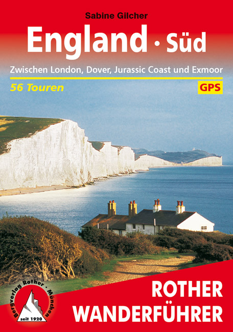
- Wandelgids England Süd - Engeland Zuid | Rother Bergverlag
- Zwischen London, Dover, Jurassic Coast und Exmoor. 56 Touren. Mit GPS-Tracks. Rother Wanderbuch Read more
De Zwerver
Netherlands
2024
Netherlands
2024
De Zwerver
Netherlands
2019
Netherlands
2019
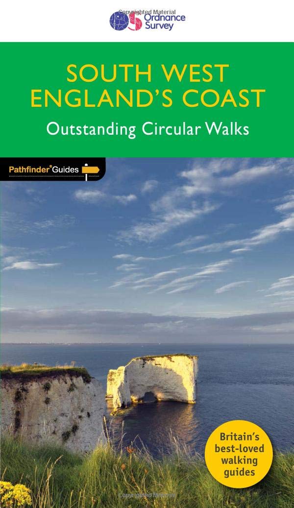
- Wandelgids 69 Pathfinder Guides South West England's Coast | Ordnance Survey
- Are you planning a holiday to Devon, Cornwall or the Jurassic Coast? Do you enjoy a walk with stunning coastal scenery? The South West Coast Path is the UK`s most popular National Trail - with Tintagel voted the `best walk in Britain` in a survey of 4,000 readers of Country Walking magazine. Pathfinder (R) Guide to Coastal Walks in South West... Read more
- Also available from:
- Stanfords, United Kingdom

Stanfords
United Kingdom
2019
United Kingdom
2019
- South West England Coast Walks
- Are you planning a holiday to Devon, Cornwall or the Jurassic Coast? Do you enjoy a walk with stunning coastal scenery? The South West Coast Path is the UK`s most popular National Trail - with Tintagel voted the `best walk in Britain` in a survey of 4,000 readers of Country Walking magazine. Pathfinder (R) Guide to Coastal Walks in South West... Read more
De Zwerver
Netherlands
2019
Netherlands
2019
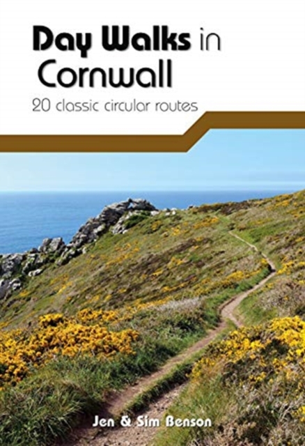
- Wandelgids Day Walks in Cornwall | Vertebrate Publishing
- 20 coastal & moorland routes Read more
- Also available from:
- Stanfords, United Kingdom

Stanfords
United Kingdom
2019
United Kingdom
2019
- Day Walks in Cornwall: 20 coastal & moorland routes
- Day Walks in Cornwall features 20 circular routes between 7.2 and 13.7 miles (11.6km and 22km) in length, suitable for hillwalkers of all abilities. Researched and written by experienced authors Jen and Sim Benson, and covering the extremities of this stunning peninsula, the walks reach areas from Bude to the Isles of Scilly, and from Rame Head... Read more
De Zwerver
Netherlands
2019
Netherlands
2019
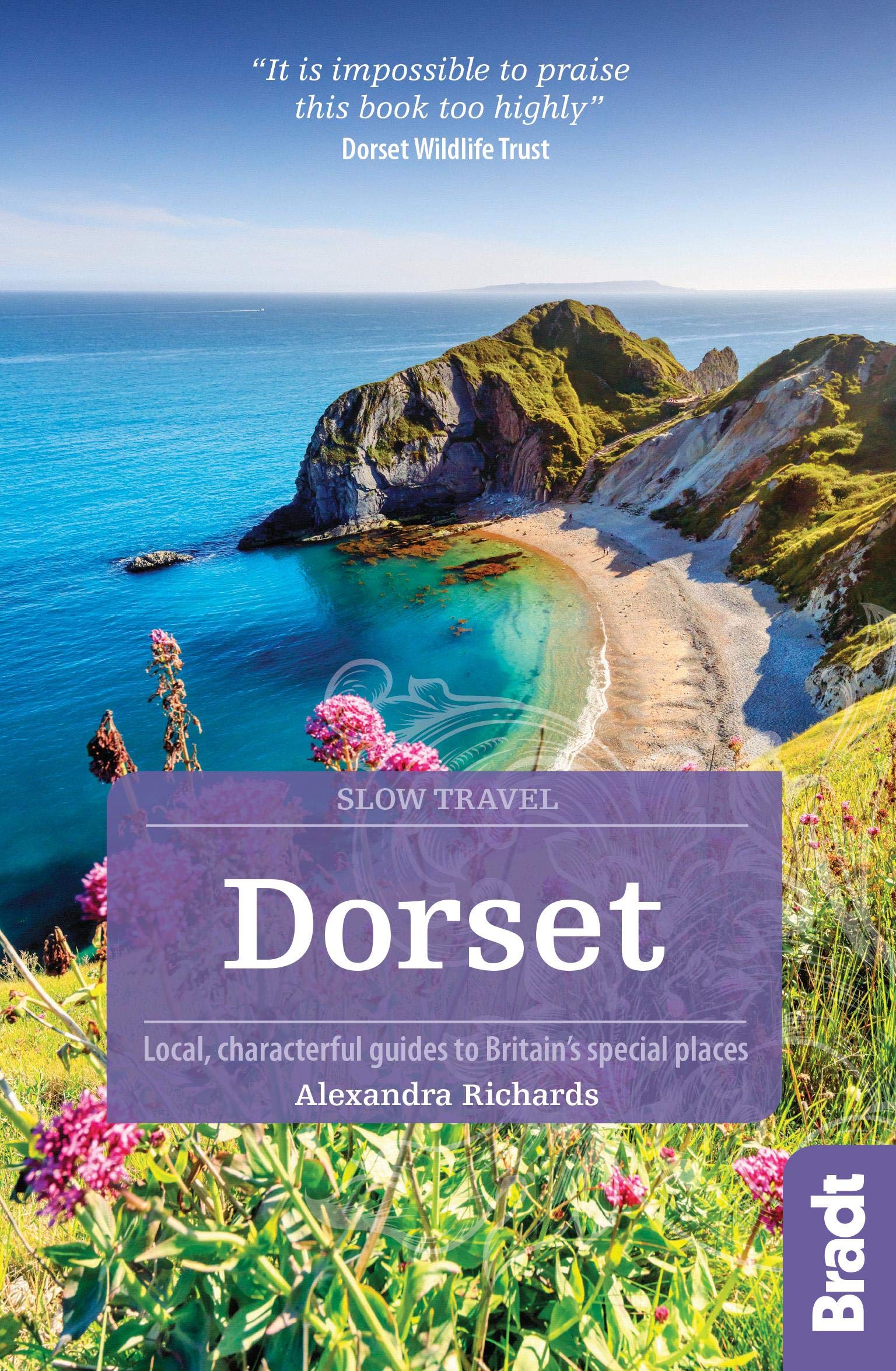
- Reisgids Slow Travel Dorset | Bradt Travel Guides
- This new third edition of Bradt`s popular guide to Dorset - part of its distinctive series of `Slow Travel` guides to local UK regions - has been thoroughly updated to reflect all the most recent changes to the region. Where - and what - to eat, where and when to go and what to see are all covered, providing an essential guide to one of... Read more
- Also available from:
- Stanfords, United Kingdom

Stanfords
United Kingdom
2019
United Kingdom
2019
- Dorset (Slow Travel) Bradt Guide
- This new third edition of Bradt`s popular guide to Dorset - part of its distinctive series of `Slow Travel` guides to local UK regions - has been thoroughly updated to reflect all the most recent changes to the region. Where - and what - to eat, where and when to go and what to see are all covered, providing an essential guide to one of... Read more
De Zwerver
Netherlands
Netherlands
- Also available from:
- Stanfords, United Kingdom

Stanfords
United Kingdom
United Kingdom
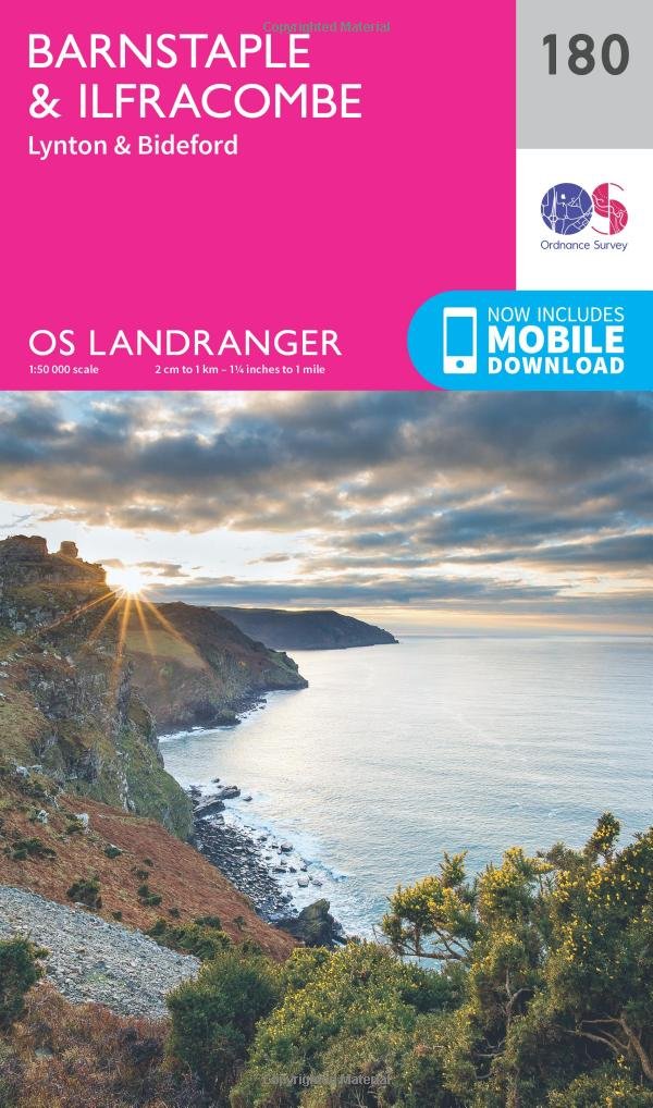
- Barnstaple, Ilfracombe, Lynton & Bideford OS Landranger Map 180 (paper)
- Barnstaple and Ilfracombe area, including the western part of the Exmoor National Park and a section of the South West Coast Path, on a paper version of map No. 180 from the Ordnance Survey’s Landranger series at 1:50,000, with contoured and GPS compatible topographic mapping plus tourist information.MOBILE DOWNLOADS: As well as the physical... Read more
Bol.com
Netherlands
2015
Netherlands
2015
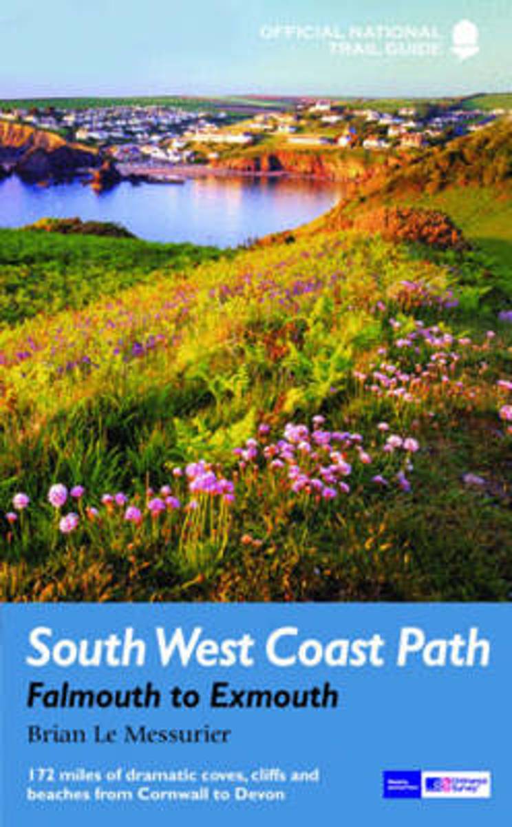
- South West Coast Path
- The South West Coast Path follows Britain's stunning coastline for 630 miles around the southern tip of Britain. This volume covers the 172 miles of the National Trail along the south Cornwall and Devon coast from Falmouth to the mouth of the Exe. It takes in some of Britain's most popular beaches and resorts, as well as arresting clifftop... Read more
- Also available from:
- Bol.com, Belgium
Bol.com
Belgium
2015
Belgium
2015
- South West Coast Path
- The South West Coast Path follows Britain's stunning coastline for 630 miles around the southern tip of Britain. This volume covers the 172 miles of the National Trail along the south Cornwall and Devon coast from Falmouth to the mouth of the Exe. It takes in some of Britain's most popular beaches and resorts, as well as arresting clifftop... Read more
Bol.com
Netherlands
2015
Netherlands
2015
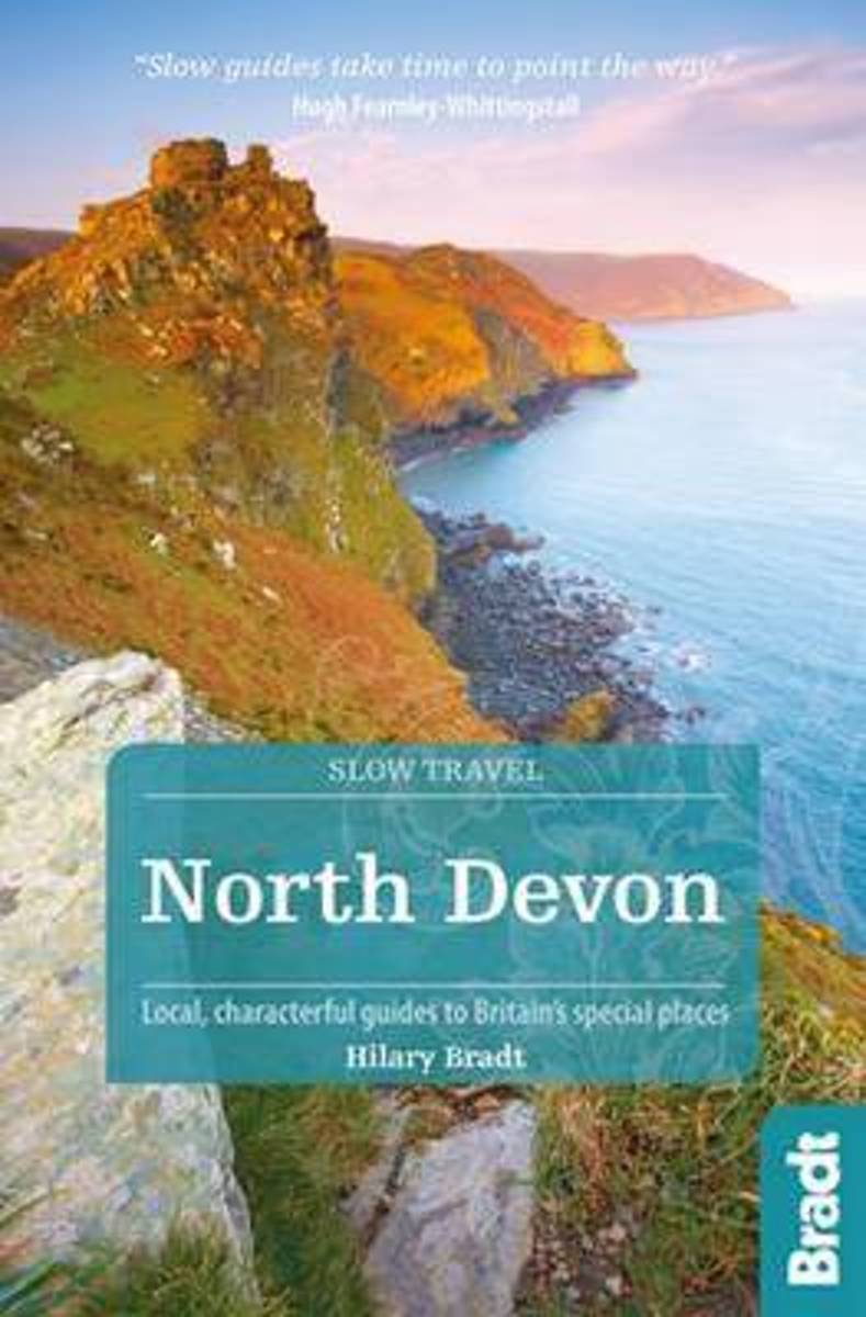
- North Devon & Exmoor
- North Devon, with its long sandy beaches and little coves, is the favourite of families with small children, while Exmoor's heather-covered moorland and deep, wooded coombes, attract walkers, mountain bikers, and riders. Some of the prettiest villages in the south west are found here, with cream teas aplenty. Much information will be unique to... Read more
- Also available from:
- Bol.com, Belgium
Bol.com
Belgium
2015
Belgium
2015
- North Devon & Exmoor
- North Devon, with its long sandy beaches and little coves, is the favourite of families with small children, while Exmoor's heather-covered moorland and deep, wooded coombes, attract walkers, mountain bikers, and riders. Some of the prettiest villages in the south west are found here, with cream teas aplenty. Much information will be unique to... Read more

De Zwerver
Netherlands
Netherlands
- Also available from:
- Bol.com, Netherlands
- Bol.com, Belgium
- Stanfords, United Kingdom
- The Book Depository, United Kingdom

Bol.com
Netherlands
Netherlands
- Purbeck & South Dorset, Poole, Dorchester, Weymouth & Swanage
- OS Explorer is the Ordnance Survey's most detailed map and is recommended for anyone enjoying outdoor activities like walking, horse riding and off-road cycling. The OS Explorer range of OL maps now includes a digital version of the paper map, accessed through the OS smartphone app, OS Maps. Providing complete GB coverage the series details... Read more
Bol.com
Belgium
Belgium
- Purbeck & South Dorset, Poole, Dorchester, Weymouth & Swanage
- OS Explorer is the Ordnance Survey's most detailed map and is recommended for anyone enjoying outdoor activities like walking, horse riding and off-road cycling. The OS Explorer range of OL maps now includes a digital version of the paper map, accessed through the OS smartphone app, OS Maps. Providing complete GB coverage the series details... Read more

Stanfords
United Kingdom
United Kingdom
- Purbeck & South Dorset - Poole, Dorchester - Weymouth & Swanage OS Explorer Map OL15 (paper)
- Purbeck and the southern part of Dorset on a detailed topographic and GPS compatible map OL15, paper version, from the Ordnance Survey’s 1:25,000 Explorer series. Coverage extends from Poole and Swanage in the east to Bridport in the west, and includes Dorchester, Tolpuddle, Bere Regis, Wareham, Weymouth, Chesil Beach, Portland Bill, the final... Read more

The Book Depository
United Kingdom
United Kingdom
Bol.com
Netherlands
Netherlands
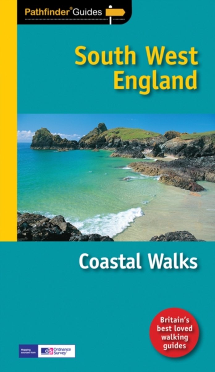
- Pathfinder Coastal Walks in South West England
- Are you planning a holiday to Devon, Cornwall or the Jurassic Coast? Do you enjoy a walk with stunning coastal scenery? The South West Coast Path is the UK's most popular National Trail - with Tintagel voted the 'best walk in Britain' in a survey of 4,000 readers of Country Walking magazine. Pathfinder(R) Guide to Coastal Walks in South West... Read more
- Also available from:
- Bol.com, Belgium
Bol.com
Belgium
Belgium
- Pathfinder Coastal Walks in South West England
- Are you planning a holiday to Devon, Cornwall or the Jurassic Coast? Do you enjoy a walk with stunning coastal scenery? The South West Coast Path is the UK's most popular National Trail - with Tintagel voted the 'best walk in Britain' in a survey of 4,000 readers of Country Walking magazine. Pathfinder(R) Guide to Coastal Walks in South West... Read more
De Zwerver
Netherlands
2016
Netherlands
2016
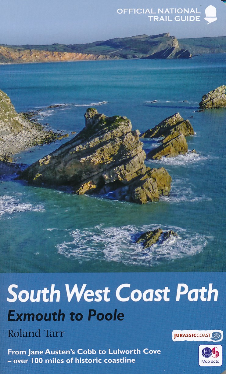
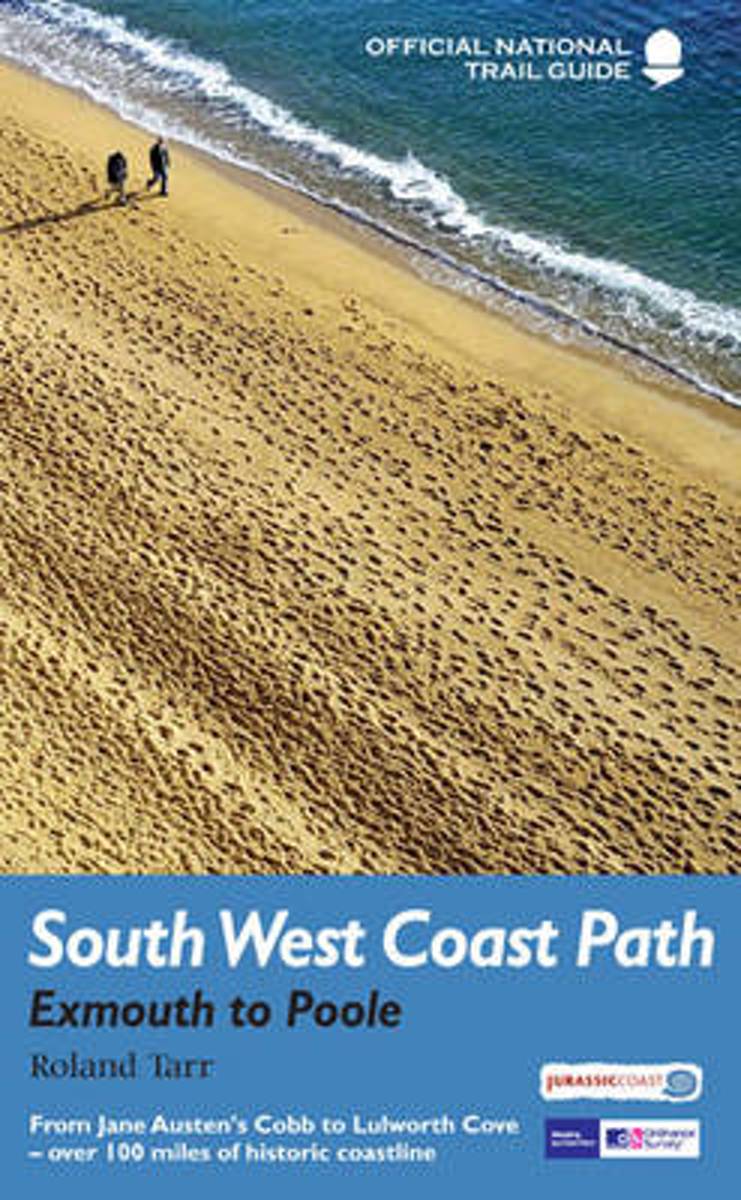
- Wandelgids 11 The South West Coast Path | Aurum Press
- Exmouth to Poole: National Trail Guide Read more
- Also available from:
- Bol.com, Netherlands
- Bol.com, Belgium
Bol.com
Netherlands
2016
Netherlands
2016
- South West Coast Path
- The South West Coast Path is the spectacular 630-mile (1008-km) National Trail around the tip of Britain. This volume features the section of the Path from Exmouth to Poole, a distance of 116 miles (186 km) along the Jurassic Coast, a designated World Heritage Site. Following Natural England's acorn waymarks, the route wends its way along the... Read more
Bol.com
Belgium
2016
Belgium
2016
- South West Coast Path
- The South West Coast Path is the spectacular 630-mile (1008-km) National Trail around the tip of Britain. This volume features the section of the Path from Exmouth to Poole, a distance of 116 miles (186 km) along the Jurassic Coast, a designated World Heritage Site. Following Natural England's acorn waymarks, the route wends its way along the... Read more
Bol.com
Netherlands
2015
Netherlands
2015
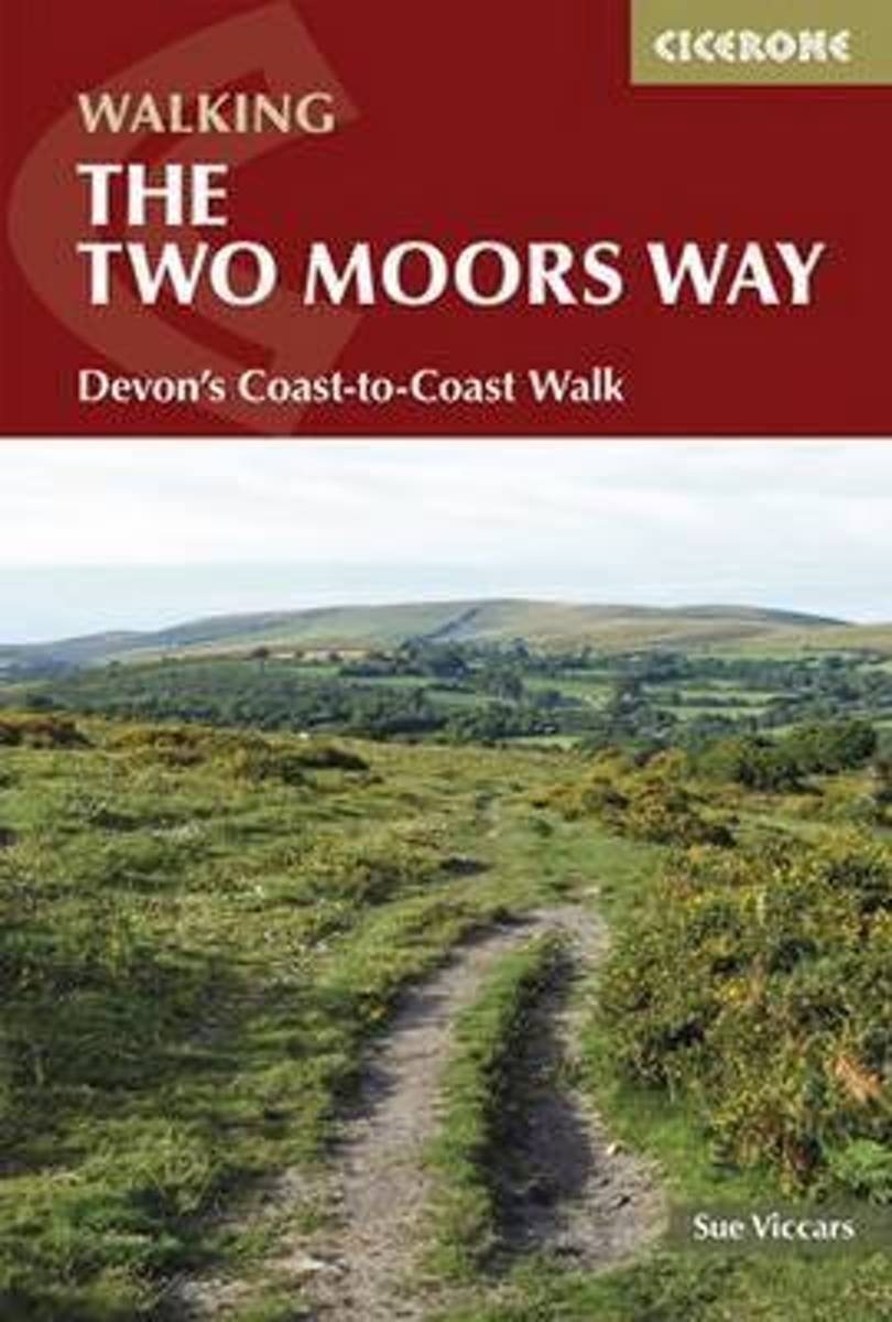
- The Two Moors Way
- This guidebook describes the 187km (116 mile) Devon Coast-to-Coast Path, or Two Moors Way. The route travels south to north, from Wembury on the south coast, up through Dartmoor and mid-Devon, through Exmoor to Lynmouth on the Bristol Channel. The walk can be adjusted to suit each walker, and can take between a week to 10 days depending on... Read more
- Also available from:
- Bol.com, Belgium
Bol.com
Belgium
2015
Belgium
2015
- The Two Moors Way
- This guidebook describes the 187km (116 mile) Devon Coast-to-Coast Path, or Two Moors Way. The route travels south to north, from Wembury on the south coast, up through Dartmoor and mid-Devon, through Exmoor to Lynmouth on the Bristol Channel. The walk can be adjusted to suit each walker, and can take between a week to 10 days depending on... Read more
Kaarten
Bol.com
Netherlands
Netherlands
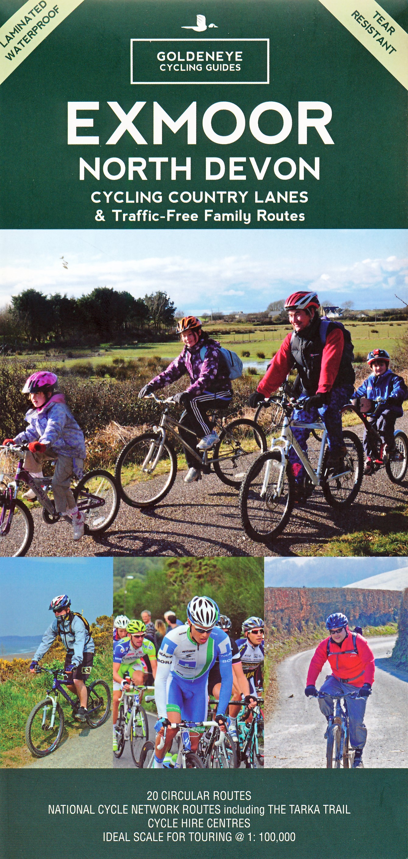
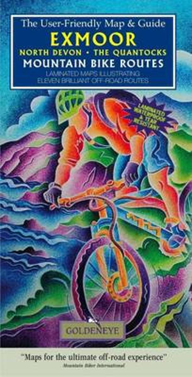
- Exmoor North Devon the Quantocks Mountain Bike Routes
- Laminated maps illustrating ten brilliant off-road routes Read more
- Also available from:
- Bol.com, Belgium
Bol.com
Belgium
Belgium
- Exmoor North Devon the Quantocks Mountain Bike Routes
- Laminated maps illustrating ten brilliant off-road routes Read more

Bol.com
Netherlands
Netherlands
- South West Mountain Biking - Quantocks, Exmoor, Dartmoor
- South West Mountain Biking - Quantocks, Exmoor, Dartmoor - is the full second edition of the bestselling guide to the outstanding mountain biking in the south west of England. Featured are 26 of the best mountain bike rides in Dartmoor, Exmoor and the Quantock Hills, between 10km and 30km in length, suitable for all levels of mountain bikers.... Read more
- Also available from:
- Bol.com, Belgium
- Stanfords, United Kingdom
Bol.com
Belgium
Belgium
- South West Mountain Biking - Quantocks, Exmoor, Dartmoor
- South West Mountain Biking - Quantocks, Exmoor, Dartmoor - is the full second edition of the bestselling guide to the outstanding mountain biking in the south west of England. Featured are 26 of the best mountain bike rides in Dartmoor, Exmoor and the Quantock Hills, between 10km and 30km in length, suitable for all levels of mountain bikers.... Read more

Stanfords
United Kingdom
United Kingdom
- South West Mountain Biking - Quantocks, Exmoor, Dartmoor
- Vertebrate`s ”South West Mountain Biking – Quantocks, Exmoor, Dartmoor” is the second edition of their bestselling guide to mountain biking in the South West of England. Featured are 26 of the best mountain bike rides in Dartmoor, Exmoor and the Quantock Hills, between 10km and 30km in length, suitable for all levels of mountain bikers.Each... Read more

De Zwerver
Netherlands
Netherlands
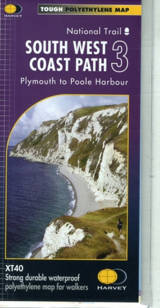
- Wandelkaart 3 South West Coast Path 3 | Harvey Maps
- The third section of the South West Coast Path National Trail, from Plymouth to Poole Harbour along the southern coast Devon and the coast of Dorset, presented by Harvey Map Services at 1:40,000 on a light, waterproof and tear-resistant map, showing the path on 11 overlapping panels.In this new 2015 edition the whole route from Minehead to... Read more
- Also available from:
- Bol.com, Netherlands
- Bol.com, Belgium
- Stanfords, United Kingdom
- The Book Depository, United Kingdom
Bol.com
Netherlands
Netherlands
- South West Coast Path 3 XT40
- The third section of the South West Coast Path National Trail, from Plymouth to Poole Harbour along the southern coast Devon and the coast of Dorset, presented by Harvey Map Services at 1:40,000 on a light, waterproof and tear-resistant map, showing the path on 11 overlapping panels.In this new 2015 edition the whole route from Minehead to... Read more
Bol.com
Belgium
Belgium
- South West Coast Path 3 XT40
- The third section of the South West Coast Path National Trail, from Plymouth to Poole Harbour along the southern coast Devon and the coast of Dorset, presented by Harvey Map Services at 1:40,000 on a light, waterproof and tear-resistant map, showing the path on 11 overlapping panels.In this new 2015 edition the whole route from Minehead to... Read more

Stanfords
United Kingdom
United Kingdom
- South West Coast Path 3 - Plymouth to Poole Harbour Harvey National Trail XT40
- The third section of the South West Coast Path National Trail, from Plymouth to Poole Harbour along the southern coast Devon and the coast of Dorset, presented by Harvey Map Services at 1:40,000 on a light, waterproof and tear-resistant map, showing the path on 11 overlapping panels.In this new 2015 edition the whole route from Minehead to... Read more

Bol.com
Netherlands
Netherlands
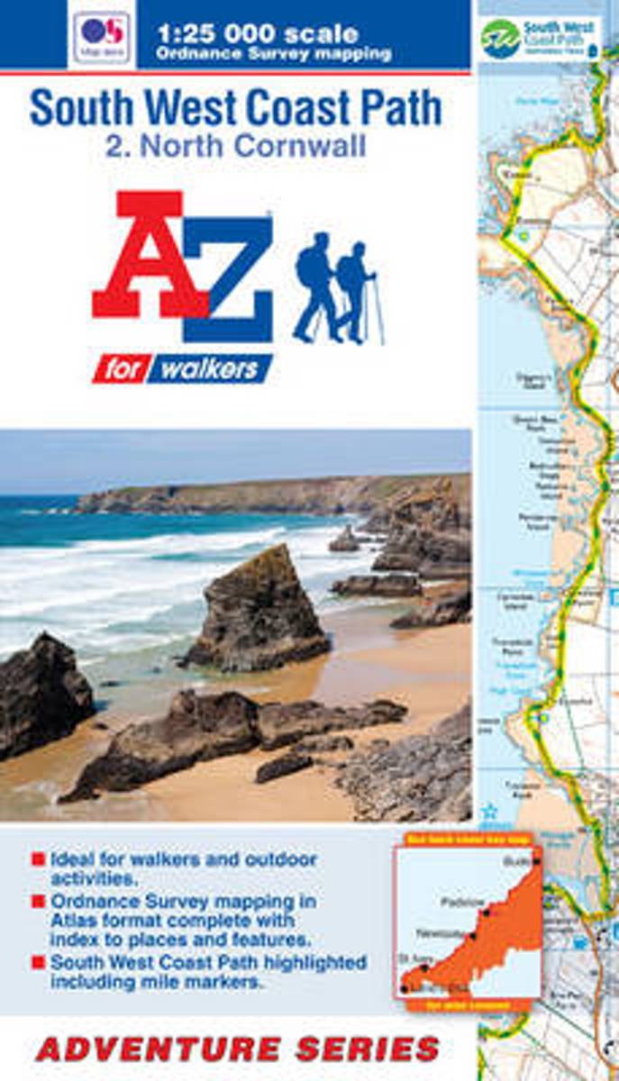
- SW Coast Path North Cornwall Adventure Atlas
- South West Coast Path 2 - North Cornwall Adventure Atlas at 1:25,000 in a series of handy A5 size Adventure Atlases from Geographers' A-Z Map Company with cartography from the Ordnance Survey Read more
- Also available from:
- Bol.com, Belgium
Bol.com
Belgium
Belgium
- SW Coast Path North Cornwall Adventure Atlas
- South West Coast Path 2 - North Cornwall Adventure Atlas at 1:25,000 in a series of handy A5 size Adventure Atlases from Geographers' A-Z Map Company with cartography from the Ordnance Survey Read more

Bol.com
Netherlands
2017
Netherlands
2017
- SW Coast Path South Devon Adventure Atlas
- South West Coast Path 4 - South Devon Adventure at 1:25,000 in a series of handy A5 size Adventure Atlases from Geographers` A-Z Map Company with cartography from the Ordnance Survey’s Explorer series. The guide covers the 210 km / 131 mile section of the SWCP National Trail between Plymouth and Lyme Regis and includes a route planner... Read more
- Also available from:
- Bol.com, Belgium
- Stanfords, United Kingdom
Bol.com
Belgium
2017
Belgium
2017
- SW Coast Path South Devon Adventure Atlas
- South West Coast Path 4 - South Devon Adventure at 1:25,000 in a series of handy A5 size Adventure Atlases from Geographers` A-Z Map Company with cartography from the Ordnance Survey’s Explorer series. The guide covers the 210 km / 131 mile section of the SWCP National Trail between Plymouth and Lyme Regis and includes a route planner... Read more

Stanfords
United Kingdom
2017
United Kingdom
2017
- South West Coast Path 4 - South Devon Adventure Atlas
- South West Coast Path 4 - South Devon Adventure at 1:25,000 in a series of handy A5 size Adventure Atlases from Geographers` A-Z Map Company with cartography from the Ordnance Survey’s Explorer series. The guide covers the 210 km / 131 mile section of the SWCP National Trail between Plymouth and Lyme Regis and includes a route planner... Read more
Bol.com
Netherlands
Netherlands
- SW Coast Path South Cornwall Adventure Atlas
- South West Coast Path 3 - South Cornwall Adventure Atlas at 1:25,000 in a series of handy A5 size Adventure Atlases from Geographers' A-Z Map Company with cartography from the Ordnance Survey Read more
- Also available from:
- Bol.com, Belgium
Bol.com
Belgium
Belgium
- SW Coast Path South Cornwall Adventure Atlas
- South West Coast Path 3 - South Cornwall Adventure Atlas at 1:25,000 in a series of handy A5 size Adventure Atlases from Geographers' A-Z Map Company with cartography from the Ordnance Survey Read more
Bol.com
Netherlands
2017
Netherlands
2017
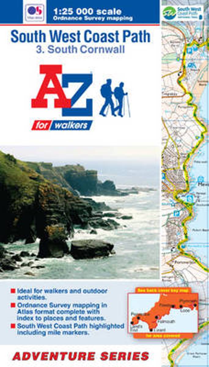
- SW Coast Path South Cornwall Adventure Atlas
- South West Coast Path 3 - South Cornwall Adventure Atlas at 1:25,000 in a series of handy A5 size Adventure Atlases from Geographers` A-Z Map Company with cartography from the Ordnance Survey’s Explorer series. The guide covers the 252km / 158 mile section of the SWCP National Trail between Land’s End and Plymouth and includes a route planner... Read more
- Also available from:
- Bol.com, Belgium
- Stanfords, United Kingdom
Bol.com
Belgium
2017
Belgium
2017
- SW Coast Path South Cornwall Adventure Atlas
- South West Coast Path 3 - South Cornwall Adventure Atlas at 1:25,000 in a series of handy A5 size Adventure Atlases from Geographers` A-Z Map Company with cartography from the Ordnance Survey’s Explorer series. The guide covers the 252km / 158 mile section of the SWCP National Trail between Land’s End and Plymouth and includes a route planner... Read more

Stanfords
United Kingdom
2017
United Kingdom
2017
- South West Coast Path 3 - South Cornwall A-Z Adventure Atlas
- South West Coast Path 3 - South Cornwall Adventure Atlas at 1:25,000 in a series of handy A5 size Adventure Atlases from Geographers` A-Z Map Company with cartography from the Ordnance Survey’s Explorer series. The guide covers the 252km / 158 mile section of the SWCP National Trail between Land’s End and Plymouth and includes a route planner... Read more

Bol.com
Netherlands
Netherlands
- SW Coast Path North Devon & Somerset Adventure Atlas
- South West Coast Path 1 - North Devon & Somerset Adventure Atlas at 1:25,000 in a series of handy A5 size Adventure Atlases from Geographers` A-Z Map Company with cartography from the Ordnance Survey’s Explorer series. The guide covers the 199km / 125 mile section of the SWCP National Trail between Bude and Minehead and includes a route planner... Read more
- Also available from:
- Bol.com, Belgium
Bol.com
Belgium
Belgium
- SW Coast Path North Devon & Somerset Adventure Atlas
- South West Coast Path 1 - North Devon & Somerset Adventure Atlas at 1:25,000 in a series of handy A5 size Adventure Atlases from Geographers` A-Z Map Company with cartography from the Ordnance Survey’s Explorer series. The guide covers the 199km / 125 mile section of the SWCP National Trail between Bude and Minehead and includes a route planner... Read more
Bol.com
Netherlands
Netherlands
- SW Coast Path North Cornwall Adventure Atlas
- AZ heeft de meest gedetailleerde wandelkaarten van delen van het South West Coast Path gebundeld in een atlasje. Daardoor is het heel handig qua formaat. De kaarten zelf zijn perfect voor het wandelen. Schaal 1:25.000 The perfect companion for those who love the great outdoors, the A-Z Adventure Series features OS 1:25000 scale mapping in a... Read more
- Also available from:
- Bol.com, Belgium
Bol.com
Belgium
Belgium
- SW Coast Path North Cornwall Adventure Atlas
- AZ heeft de meest gedetailleerde wandelkaarten van delen van het South West Coast Path gebundeld in een atlasje. Daardoor is het heel handig qua formaat. De kaarten zelf zijn perfect voor het wandelen. Schaal 1:25.000 The perfect companion for those who love the great outdoors, the A-Z Adventure Series features OS 1:25000 scale mapping in a... Read more

Stanfords
United Kingdom
United Kingdom
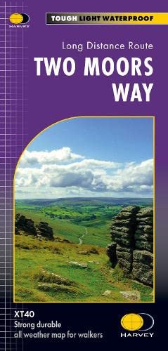
- Two Moors Way Harvey National Trail XT40
- Two Moors Way, a 150km / 93 mile long-distance trail between Lynmouth on the north coast of Devon and Ivybridge near Plymouth, crossing Exmoor and Dartmoor National Parks, presented at 1:40,000 on a light, waterproof and tear-resistant map from Harvey Map Services. The route is shown on six panels.Maps in the Harvey’s series covering Great... Read more
Stanfords
United Kingdom
United Kingdom
- Barnstaple and Ilfracombe 1809-1919 (3-map set)
- Map No. 180, Barnstaple and Ilfracombe 1809-1919 (3-map set), in the Cassini Historical Series of old Ordnance Survey mapping of England and Wales at 1:50,000 in a format designed to offer a convenient comparison with the present day coverage from the OS, and most locations in three different editions. Old historical maps have been combined so... Read more

Stanfords
United Kingdom
United Kingdom
- Exmoor & Taunton Cycling Map 84
- Exmoor and Taunton area of Devon and Somerset at 1:100,000 on a handy size, 50x35cm, double-sided contoured map from Croydecycle, printed on waterproof and tear-resistant synthetic paper and showing National Cycle routes and numerous local facilities, including campsites, pubs, etc. Coverage extends from Combe Martin, Barnstaple and South... Read more

Stanfords
United Kingdom
2015
United Kingdom
2015
- South West Coast Path 5 - Dorset A-Z Adventure Atlas
- South West Coast Path 5 - Dorset Adventure Atlas at 1:25,000 in a series of handy A5 size Adventure Atlases from Geographers` A-Z Map Company with cartography from the Ordnance Survey’s Explorer series. The guide covers the 138 km / 86 mile section of the SWCP National Trail between Lyme Regis and Poole and includes a route planner indicating... Read more